


2 Whitewater Rapids near Trapper Peak
first prev 1 next lastShowing Whitewater Rapids within 50 miles Distance miles of Trapper Peak near Darby, Montana City, Zip, or Address
Add Location
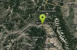
Salmon River
Salmon, Idaho
32.5 miles SThe longest free-flowing river in the lower 48 states — the Salmon River runs undammed for 425 miles from Sawtooth peaks to Hells Canyon, draining 14,000 square miles of wild Idaho.
Camp, Whitewater
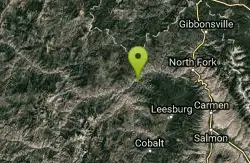
North Fork Canyon (River of No Return)
McCall, Idaho
33.5 miles SThe longest free-flowing river within one state in the lower 48 — 425 miles of the Salmon River from Sawtooth origins through designated wild and recreational corridors in central Idaho.
Camp, Canoe, Cave, Hike, Horseback, Mountain Bike, Whitewater


