


Adeline Jay Geo-Karis Illinois Beach State Park
Zion
Camp, Hike, and Swim
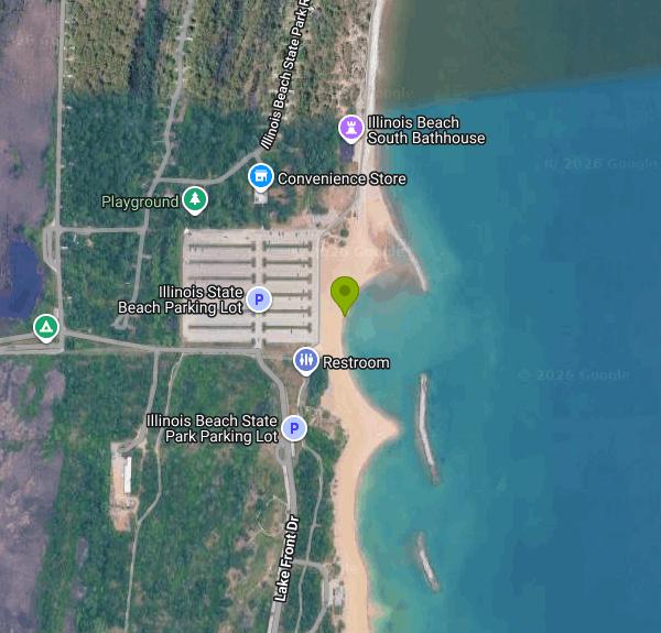
Adeline Jay Geo-Karis Illinois Beach State Park stretches about six and a half miles along Lake Michigan between Waukegan and the Wisconsin state line. Its 4,160 acres come in two disconnected halves, and the difference matters if you are driving out to swim. The north unit, 1,925 acres built around the former Camp Logan military site, is the eroding half. The south unit, 2,235 acres, holds the public swimming beach along with the park office, visitor center, campground, the Illinois Beach Resort and a 1,100 acre dedicated nature preserve at its far southern end. The beach people actually use sits at the north end of the south unit, a short walk east of the free lot off North Entrance Road.
Admission is free and the lot is neither metered nor gated. The Lake County visitor bureau lists park hours as daily from 8 a.m. until sundown, and the park office at 847-662-4811 is worth a call first, because IDNR warns that weather can close roads and facilities on short notice. Changing rooms, outdoor showers, drinking water, restrooms and picnic tables sit just behind the sand at the day use area, and a camp store and the resort are within walking distance.
No lifeguards work this shoreline. IDNR states that plainly on the park's own activities page, and it applies to both units, so everyone here swims at their own risk. Lake Michigan at this latitude stays cold well into the summer and does not really warm until late July or August. The water also turns over quickly when wind comes out of the north or east. Fishing is permitted along the beach but not inside the marked swimming areas.
Water quality is the thing to check the morning you go. The Illinois Department of Public Health tracks this beach in its BeachGuard system as Illinois Beach State Park South Beach, sampling from late May through the end of August. It is open as of this writing, but the record is uneven. Swim Guide puts the pass rate between 60 and 95 percent, and BeachGuard's history back to 2006 shows repeated short closures for high bacteria, usually one to seven days, most often with no pollution source identified. A separate stretch by the resort is monitored on its own and can be posted closed while the main beach stays open.
The erosion story belongs to the north unit rather than here. Sand once drifted down from southern Wisconsin, and harbor jetties and shore armoring up the coast cut off that supply while currents kept moving Illinois sand south. Losses in the north unit ran as high as 60 feet a year, worse after North Point Marina went in during 1989, and IDNR has periodically trucked dredged sand in from Waukegan Harbor and North Point to hold the line. A shoreline stabilization project completed in 2024 placed a row of offshore breakwaters, more than twenty by any count, plus over 750,000 tons of sand and 320,000 tons of stone along roughly two miles of shore. The beach grew back instead of vanishing.
Camping is in the south unit: 220 Class A Premium sites with electricity, showers and sanitary facilities, five of them accessible, open April 1 through November 15 and reservable through ExploreMoreIL up to 180 days ahead. Sites have no individual water or sewer hookups, but there are water points and a dump station, and summer weekends fill early. The south unit carries roughly five miles of trail including a 2.2 mile gravel loop, and the north unit has the 1.8 mile Camp Logan loop. Dogs are allowed on leash in picnic areas but not in the nature preserve, where fishing is also prohibited.
More Information
Be courteous, informed, and prepared. Read trailhead guidelines, stay on the trail, and don't feed the wildlife.
Read More
- Plan Ahead and Prepare
- Travel & camp on durable surfaces
- Dispose of waste properly
- Leave what you find
- Minimize campfire impacts
- Respect wildlife
- Be considerate of other visitors
Directions
From Zion
- Head east on 27th St toward Eshcol Ave (0.4 mi)
- Turn right onto IL-137 S/
Sheridan Rd Pass by Culver’s (on the left in 0.9 mi)(1.1 mi) - Turn left onto W Wadsworth Rd (0.5 mi)
- Continue straight onto Illinois Beach State Park Rd (0.7 mi)
- Continue onto Old Bch Rd (0.5 mi)
- Continue onto Lake Front Dr (0.4 mi)
- Turn right (367 ft)
 The main swimming beach in the park's south unit. courtesy of Wrongdave at English Wikipedia↗ (Public domain↗)
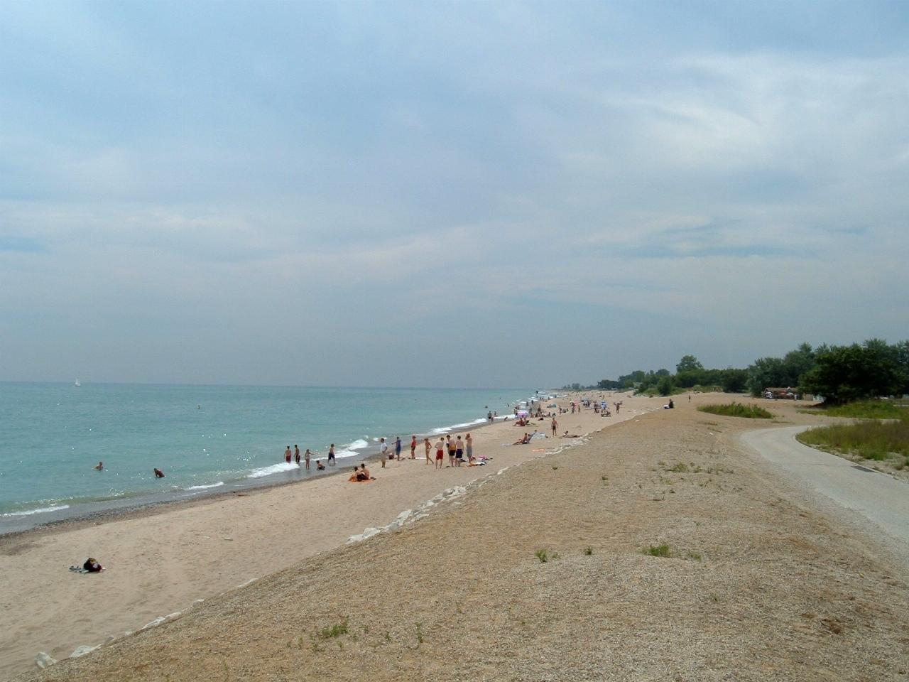
 Looking north along the public beach in the south unit. courtesy of Ironandwire↗ (CC BY-SA 4.0↗)
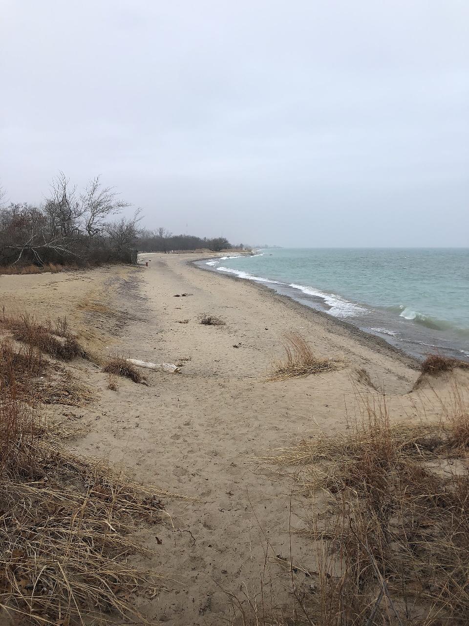
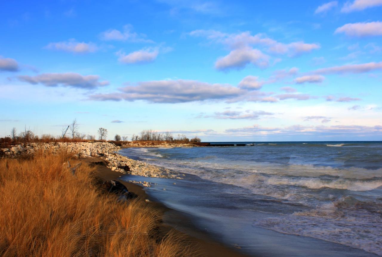
 The Lake Michigan shoreline at Illinois Beach State Park. courtesy of Yinan Chen↗ (Public Domain↗)
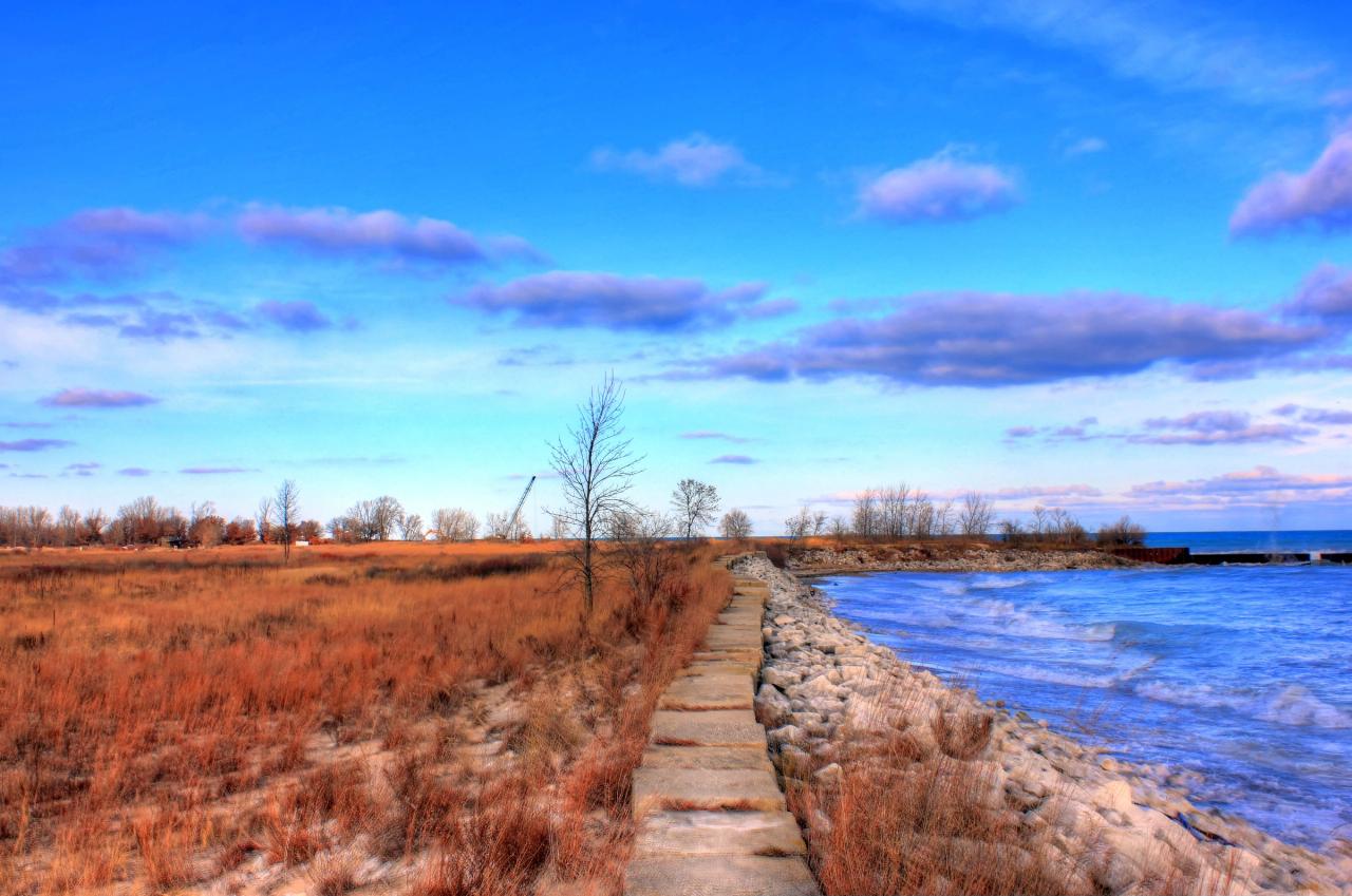
 A walkway running out to the sand and the open lake. courtesy of Yinan Chen↗ (Public Domain↗)
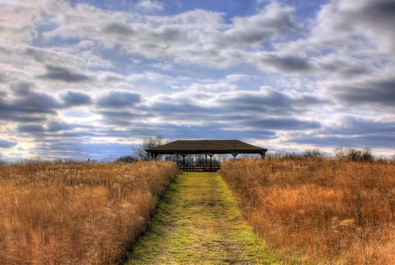
 The path to the day use picnic area behind the beach. courtesy of Yinan Chen↗ (Public Domain↗)
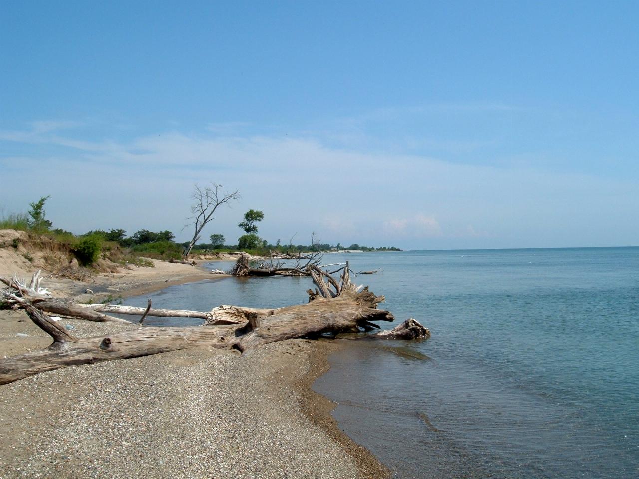
 Beach in the park's north unit, the half hit hardest by erosion.
Other Swimming Holes and Hiking Trails Nearby
Gander
Antioch, Illinois
20.2 miles WA challenging hike to the top of Lake County's highest natural elevation — 957 feet above sea level at Gander Mountain — rewarded with scenic views of the Fox River valley below.
Hike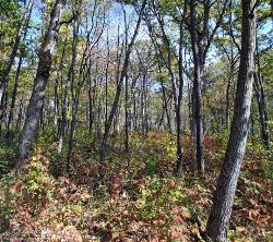
Emma Carlin Trail
Whitewater, Wisconsin
48.2 miles NWThree color-coded mountain bike trails from 3.5 to 8 miles through hilly hardwood forest near Whitewater — more challenging than the nearby John Muir Trails, with glacial terrain and scenic overlooks.
Cross-country Ski, Hike, Mountain Bike, Snowshoe
Kettle Morain South Trail Head
Dousman, Wisconsin
48.4 miles NWOver 30 miles of connected mostly single-track trails through the Southern Unit of Kettle Moraine State Forest — the John Muir and Emma Carlin systems linked by a connector trail.
Camp, Cross-country Ski, Hike, SwimNearby Campsites
Buffalo Park Forest Preserve
Algonquin, Illinois
31.7 miles SWA wooded Fox River preserve in Algonquin with picnic areas, a loop trail, fishing access, and a three-quarter-mile stretch of scenic shoreline — a peaceful day-use destination near Chicago.
Camp
Ottawa Lake Campground
Eagle, Wisconsin
46.3 miles NWA beautiful northwoods campground surrounded by National Forest on Lake Ottawa, with hiking trails, a Ge-Che Trail, nearby lakes and rivers, and a historic CCC-built picnic shelter.
Camp
Whitewater Lake Campground
Elkhorn, Wisconsin
46.5 miles NWA primitive campground with 63 beautiful sites and pit toilets — showers are available at Pinewoods and Ottawa Lake about 20 miles north, with a sanitary dump and recycling station on site.
Camp
Kettle Morain South Trail Head
Dousman, Wisconsin
48.4 miles NWOver 30 miles of connected mostly single-track trails through the Southern Unit of Kettle Moraine State Forest — the John Muir and Emma Carlin systems linked by a connector trail.
Camp, Cross-country Ski, Hike, Swim
Pinewoods Campground
Dousman, Wisconsin
49.7 miles NWA 101-site campground with flush toilets, pit toilets, showers, and a playground — no electrical hookups, but a quiet, nature-focused setting near Dousman.
Camp


