


Birch Creek
Leadore, Idaho
Camp
Birch Creek runs down a wide, sage-and-mountain-rimmed valley in the remote high country of eastern Idaho, and the BLM's Birch Creek Campground along its banks makes a quiet, uncrowded basecamp in one of the least-traveled corners of the state. Set between the Lemhi and Beaverhead ranges, the valley is big, open and beautifully empty, the kind of place where you can fish a clear creek all afternoon and see almost no one. Its real ace, though, is the extraordinary piece of frontier history sitting just up the valley.
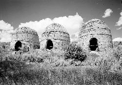
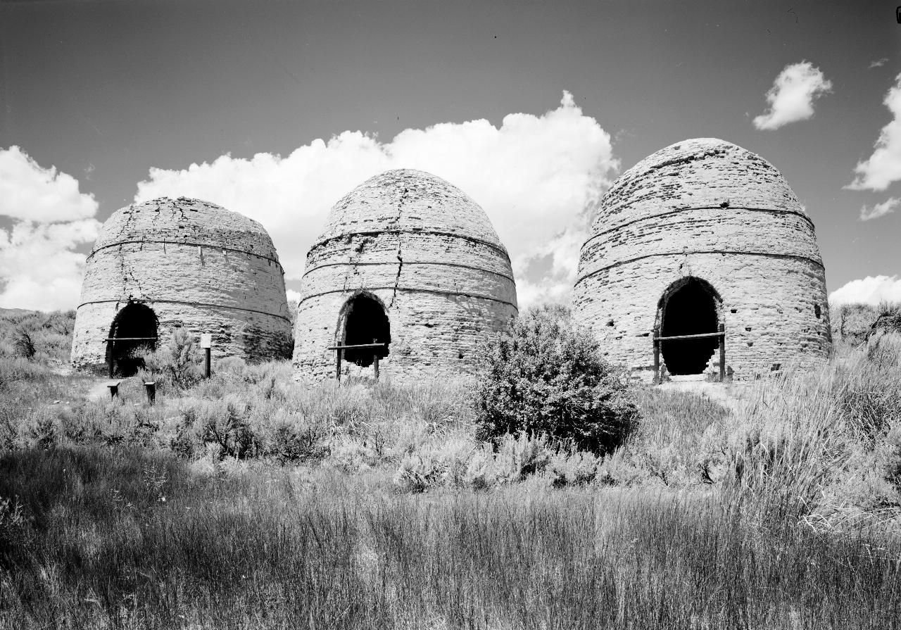
Those are the Birch Creek charcoal kilns. In the late 1800s, miners working a lead and silver operation in the Lemhi Valley built sixteen beehive-shaped kilns out of local clay, roughly ten miles across the valley from the mine. Fed with local wood, the kilns produced charcoal that was hauled by horse and wagon across the valley to fire the smelters. Only four of them survive today, restored in 2000 to their original dimensions of about 20 feet high and 20 feet across, and they are genuinely striking up close, great clay domes standing alone in the sagebrush. A dirt road off Idaho Highway 28 near Birch Creek leads to the site, which has walkways and interpretive signage.
The campground itself is simple and pleasant: roughly 25 sites along the creek with picnic tables, fire rings and restrooms, plus a variety of large undeveloped camping areas south of the middle access for those who want to spread out with no facilities at all. To reach it, head south from Leadore on Idaho Highway 28 about 50 miles; the campground is on the left.
Fishing draws most visitors. Birch Creek holds an abundance of brook and rainbow trout along with some browns, and its clear, accessible water suits both first-timers with a spinning rod and seasoned fly anglers looking for an unhurried afternoon. The campground also works well as a basecamp for exploring the wider Caribou-Targhee and Salmon-Challis country, with mountains rising on both sides of the valley.
This is high, dry, remote country with long distances between services and thin to nonexistent cell coverage, so arriving fueled up and fully stocked matters, and mountain weather can turn cold and windy fast even in summer. Summer and early fall are the prime season; winter closes the valley down to a windswept expanse.
Bring plenty of water, layers, an Idaho fishing license, insect repellent for the creek bottom, and everything else you'll need to be self-sufficient. Between an easy creekside campsite, honest trout fishing, and four 140-year-old charcoal kilns standing in the sage, Birch Creek is a rewarding stop in a part of Idaho most travelers drive right past.
More Information
Birch Creek Campground - Idaho | Bureau of Land Management
***An intense precipitation event occurring in southeastern Idaho resulted in the flooding of the popular Birch Creek campground. Fast moving water washed out many of the roads, leaving eroded gaps as deep as 3 Ѕ feet. While the area is still open to the public, the Bureau of Land Management Upper Snake Field Office urges the public to remain cautious, as the site has significantly changed.***This campground includes approximately 25 campsites with amenities such as picnic tables, fire rings, and restrooms, located along Birch Creek. Additionally, there are a variety of large undeveloped
https://www.blm.gov/visit/birch-creek-campground-0
- Plan Ahead and Prepare
- Travel & camp on durable surfaces
- Dispose of waste properly
- Leave what you find
- Minimize campfire impacts
- Respect wildlife
- Be considerate of other visitors
Directions
From Leadore, Idaho
- Head northeast on Carbonate St toward S Railroad St (138 ft)
- Turn right onto ID-28 S/S Railroad StContinue to follow ID-28 S(45.9 mi)
- Turn right (0.1 mi)
- Turn rightDestination will be on the left(115 ft)
From Leadore, go south on ID-28 about 50 miles. From Idaho Falls, Take I-15 north to ID-33 west. Drive through town of Mud Lake and take ID-28 north about 29 miles. Campground will be on the left.

Other Arenas Nearby

Birch Creek Charcoal Kilns
Leadore, Idaho
18.2 miles NWSixteen remarkably intact 20-foot beehive brick kilns stand in remote Idaho as relics of an 1880s silver-mining operation that employed 200 workers for barely three years.
Hike 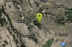
Webber Creek
Dubois, Idaho
18.7 miles NEA dispersed recreation area at 7,000 feet elevation with a trailhead, vault toilet, and the Webber Creek Trail heading west toward Scott Peak — great for hiking, fishing, horseback riding, and mountain biking.
Backpack, Camp, Hike, Horseback, Hot Springs, Mountain Bike 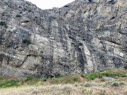
Box Canyon
Howe, Idaho
19.2 miles SSolid, grippy limestone routes from 20 to 500 feet on a slabby-to-steep Box Canyon wall in Idaho — multipitch routes are a highlight, and there are hopes to expand access.
Rock Climb 1.1-4.1 mi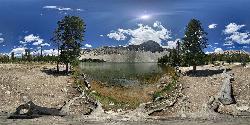
Meadow Lake
Leadore, Idaho
28.9 miles NWA remote alpine lake in the Sawtooth Wilderness, tucked in the Sawtooth Mountains with no maintained trails and accessible only with a wilderness permit — $10–$20 per night to camp nearby.
Camp, Canoe, Hike 0.6 mi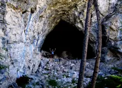
Hidden Mouth Cave
Moore, Idaho
29.6 miles SWA surprisingly large lava cave with three chambers and a secret back exit — reached by quad or a quarter-mile steep hike above Moore, Idaho.
Cave, Hike 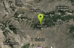
Stoddard Creek
Spencer, Idaho
38.8 miles NEA campground just 1 mile off I-15 and 17 miles north of Dubois, surrounded by trails and wildlife in scenic high desert — an easy-access base for exploring northern Idaho's backcountry.
Camp 2.1-2.3 mi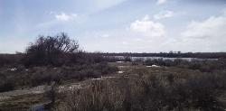
Market Lake Wildlife Management Area
Roberts, Idaho
45.5 miles SEA wildlife management area teeming with waterfowl — ibis colonies, ducks, geese, herons, eagles, hawks, and owls — plus mule deer, white-tailed deer, and a small moose population near Roberts, Idaho.
Hike, Horseback 7.9 mi
Borah Peak
Mackay, Idaho
46.4 miles WIdaho's highest peak at 12,662 feet offers a Class 3-4 summit route along 'Chicken-out' Ridge — complete with a snow knife-edge, talus, and the kind of exposure that separates the committed from the casual.
Hike 0.9 mi
Hell's Half Acre Lava Walk
Blackfoot, Idaho
46.5 miles SETwo lava trails — a quick half-mile loop or a 4.5-mile route to the main vent — trace a 4,100-year-old 222-square-mile eruption across the Snake River Plain.
Hike 
Lava Hill
Menan, Idaho
47.7 miles SECollapsed lava tubes and sagebrush ridgelines create a natural paintball labyrinth right off the highway — just watch for rattlesnakes before setting up.
Airsoft, Paintball 
17 Mile Cave
Idaho Falls, Idaho
49.5 miles SEA lava tube just 17 miles from Idaho Falls with a nearly flat quarter-mile tunnel ending in two cool pools — easy for beginners, though expect graffiti on the walls.
Cave, Hike 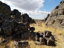
Rattle Rock / The Gauntlet
Menan, Idaho
49.6 miles SEA collapsed lava tube gauntlet with 20-foot climbable rock walls, manmade tunnels, caves, and turret vantage points — an unconventional outdoor paintball arena with bouldering thrown in (watch for rattlesnakes).
Airsoft, PaintballNearby Campsites
Webber Creek
Dubois, Idaho
18.7 miles NEA dispersed recreation area at 7,000 feet elevation with a trailhead, vault toilet, and the Webber Creek Trail heading west toward Scott Peak — great for hiking, fishing, horseback riding, and mountain biking.
Backpack, Camp, Hike, Horseback, Hot Springs, Mountain Bike 1.1-4.1 mi
Meadow Lake
Leadore, Idaho
28.9 miles NWA remote alpine lake in the Sawtooth Wilderness, tucked in the Sawtooth Mountains with no maintained trails and accessible only with a wilderness permit — $10–$20 per night to camp nearby.
Camp, Canoe, Hike
Stoddard Creek
Spencer, Idaho
38.8 miles NEA campground just 1 mile off I-15 and 17 miles north of Dubois, surrounded by trails and wildlife in scenic high desert — an easy-access base for exploring northern Idaho's backcountry.
Camp


