


Stoddard Creek
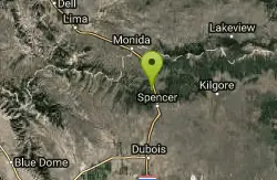
Spencer, Idaho
Camp
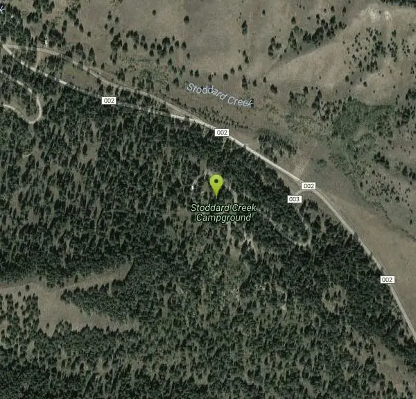
Stoddard Creek is a pretty, pine-shaded pocket of the Caribou-Targhee National Forest tucked into the mountains of far eastern Idaho, gathered around a small campground on the banks of its namesake creek just north of Dubois. Its great appeal is accessibility paired with quiet: the campground sits only about a mile off Interstate 15, yet feels a world away from the highway, a handy basecamp and roadside retreat in a stretch of the state where public land runs for miles in every direction. At roughly 6,300 feet, it's a cool, forested escape from the summer heat of the Snake River Plain below.
The Stoddard Creek Campground anchors the area, offering around 20 single-family sites plus a group site that can hold up to 50 people, with level gravel pads that accommodate RVs up to 40 feet and water and sewer hookups available, unusually developed for a national-forest campground. That mix makes it popular with RVers, families, and travelers breaking up the long I-15 drive between Idaho Falls and Montana, as well as with folks using it as a launch point for deeper adventures into the surrounding forest.
Recreation here spreads out into the hills. The creek and nearby waters draw anglers, while the forest roads and trails around the drainage are popular for hiking, mountain biking, motorcycling and ATV riding, making it a favorite with the off-highway-vehicle crowd. For long-distance hikers and curious day-trippers alike, the Continental Divide National Scenic Trail crosses Interstate 15 about eight miles away, adding a genuine bucket-list trail to the area's options.
Getting there is easy: from I-15 take the Stoddard Creek exit (Exit 184) and follow Stoddard Creek Road (Forest Road 002) west about a mile to the campground. Basic services, phone, gas and groceries, are five miles away in the little town of Spencer, Idaho, famous for its opal mines, or 17 miles south in Dubois; beyond those, this is self-sufficient country, so it's wise to arrive stocked up.
Summer and early fall are the prime season at this elevation, with warm days, cool nights, and the aspens turning gold before the snow returns. Mountain weather can shift quickly and nights get cold even in midsummer, so packing warm layers and rain gear is smart, and creek levels run highest and fastest during spring snowmelt. Bring plenty of water, insect repellent for the creekside sites, and everything you need to be self-reliant. Whether as a comfortable overnight off the interstate or a jumping-off point for the wider Targhee backcountry, Stoddard Creek is an easy, welcoming slice of eastern Idaho forest.
More Information
Caribou-Targhee National Forest | Stoddard Creek Campground | Forest Service
Stoddard Creek Campground is nestled near the banks of Stoddard Creek, about 17 miles north of Dubois, Idaho. Situated within the Caribou-Targhee National Forest’s Dubois Ranger District, this campground rests at an elevation of 6,300 feet, accessible by traveling north on Interstate 15 to the Stoddard Creek Exit (Exit 184), then west on Stoddard Creek Road (Forest Road 002) for one mile.Natural Features: A forest of Douglas fir and aspen envelops the campground, their branches swaying above the gentle trickle of Stoddard Creek below. Summer wildflowers sprinkle the landscape, softening the rugged expanse near the Continental Divide, just 11 miles south of the Idaho-Montana border.The area hums with outdoor pursuits—fishing in the creek, hiking, mountain biking, and ATV trails weave through the forest. Eight miles away, the Continental Divide National Scenic Trail crosses I-15, offering a gateway to sweeping vistas and untamed wilderness for adventurers of all kinds.Facilities: The campground offers 20 single-family sites and one group site for up to 50 people, each equipped with picnic tables and campfire rings. Vault toilets, drinking water, and trash collection are available, with a campground host on-site to assist. Roads and parking spurs are gravel, accommodating RVs and trailers up to 150 feet.Season: Late May-Early SeptemberAfter Season: Open, first-come/first-served; no fee, no toilets, no water.
https://www.fs.usda.gov/r04/caribou-targhee/recreation/stoddard-creek-campgroundStoddard Creek Campground, Caribou-Targhee National Forest - Recreation.gov
Explore Stoddard Creek Campground in Caribou-Targhee National Forest, Idaho with Recreation.gov. Stoddard Creek Campground is located just 1 mile off I-15 and 17 miles north of the town of Dubois, Idaho. Visitors come to the area to enjoy the abundance of t
https://www.recreation.gov/camping/campgrounds/234381
- Plan Ahead and Prepare
- Travel & camp on durable surfaces
- Dispose of waste properly
- Leave what you find
- Minimize campfire impacts
- Respect wildlife
- Be considerate of other visitors
Directions
From Spencer, Idaho
- Head north toward I-15 N (121 ft)
- Merge onto I-15 N (8.8 mi)
- Take exit 190 (0.4 mi)
- Turn left (0.1 mi)
- Turn left to merge onto I-15 S (5.3 mi)
- Take exit 184 toward Stoddard Cr Area (0.2 mi)
- Turn right onto US Frst Service Rd Fh33 (407 ft)
- Continue onto Forest Rd 002 (0.8 mi)
- Turn left onto Forest Rd 003 (0.3 mi)
From Dubois, Idaho: Travel north on I-15 to the Stoddard Creek Exit (Exit 184). Go west on Stoddard Creek Road (FR 002) for approximately 1 mile to the Stoddard Creek Campground Road (FR 003), then turn left into the campground.
Other Arenas Nearby

Aldous Lake and Hancock Lake
Kilgore, Idaho
19.5 miles ETwin alpine lakes — Aldous and Hancock — on a scenic 1.5-to-2.5-mile hike near Kilgore, with beautiful mountain scenery and heavier weekend crowds.
Backpack, Camp, Hike, Horseback, Swim 
Pine Butte / The Caldera
St. Anthony, Idaho
22.2 miles SEAn old volcano in the Idaho desert that feels like stepping into a mountain forest — pine-covered hillsides, a meadow ringed by aspen and boulders, and a quarter-mile easy trail to the caldera floor.
Camp, Hike, Horseback 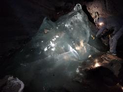
Rexburg Area Ice Caves
Rexburg, Idaho
23.5 miles SELava tubes that trap winter air and form spectacular ice crystals and frozen floors year-round — bring a rope for the icy ascents, warm clothes, and a flashlight.
Cave 
Webber Creek
Dubois, Idaho
23.6 miles WA dispersed recreation area at 7,000 feet elevation with a trailhead, vault toilet, and the Webber Creek Trail heading west toward Scott Peak — great for hiking, fishing, horseback riding, and mountain biking.
Backpack, Camp, Hike, Horseback, Hot Springs, Mountain Bike 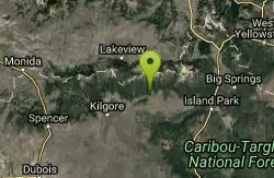
Howard Creek Trail
Island Park, Idaho
27.1 miles EA very primitive trail following Howard Creek upstream through a low canyon near Island Park — remote, quiet, and best used as a connector to the Continental Divide Trail.
Mountain Bike 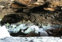
Civil Defense Caves
Rexburg, Idaho
28.4 miles SETwo large lava tubes with an arched ceiling, gravel floor, bats in the left branch, and a cavern section at the end — open May through September to protect the bat habitat.
Cave 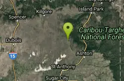
Sand Creek Frenzy
Ashton, Idaho
32.6 miles SEThere are some woods back there and it is secluded. There are many places you can play just watch out for campers.
Paintball 
St. Anthony Sand Dunes
Saint Anthony, Idaho
35.3 miles SEWinter transforms the St. Anthony Sand Dunes into the smoothest sledding surface around — hills in every direction, bowl features, and halfpipe-like terrain on mountains of snow-covered sand.
Sled 
Egin Lakes
Saint Anthony, Idaho
36.0 miles SEUnusually shallow, sandy lakes on the gateway to the St. Anthony Sand Dunes — great for water games in 2-to-3-foot-deep water, the closest thing to a real beach in SE Idaho.
Sled, Swim 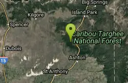
Big Bend Ridge Trail
Ashton, Idaho
36.9 miles EA smooth, swooping singletrack network near Driggs, Idaho with low elevation change, multiple route options, and a long riding season — one of the first trails to dry out each spring.
Mountain Bike 0.6-4.7 mi
Harriman State Park
Island Park, Idaho
38.0 miles EAn 11,000-acre wildlife refuge 38 miles from Yellowstone along Henry's Fork — world-class fly-fishing, hiking among wildflowers and wildlife, plus 24 miles of Nordic ski trails in winter.
Cross-country Ski, Hike, Horseback, Mountain Bike, Snowshoe 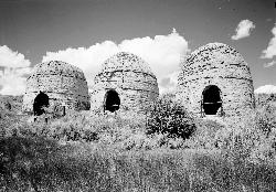
Birch Creek
Leadore, Idaho
39.0 miles SWA campground along Birch Creek with 25 developed sites, picnic tables, fire rings, and restrooms — plus great fishing for brook, rainbow, and brown trout in the creek and nearby Caribou-Targhee access.
Camp 4.2 mi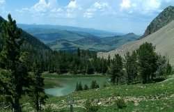
Lake Marie
Island Park, Idaho
39.2 miles EA high Continental Divide hike across the Idaho-Montana border to a cold, snowmelt-fed lake in a wildflower meadow — water level shifts dramatically from spring to fall.
Backpack, Hike 7.6 mi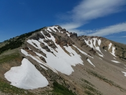
Mount Jefferson
Island Park, Idaho
39.2 miles EIdaho's highest point in the Centennial Mountains crowns a remote 10,203-ft Continental Divide summit on the Idaho-Montana border west of Yellowstone.
Hike 
Sawtell Peak Trail
Island Park, Idaho
39.2 miles EA trail at Island Park, Idaho offering great views of the valley floor, mountain peaks, and wildlife.
Mountain Bike 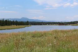
Box Canyon Island Park
Island Park, Idaho
40.6 miles EPerched on the canyon rim above Henry's Fork, this lodgepole-shaded campground sits steps from short trails leading to dramatic Snake River views below.
Canoe 2.9 mi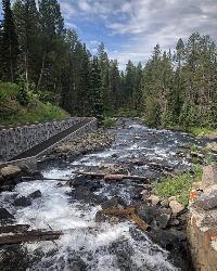
Box Canyon Trail
Island Park, Idaho
40.7 miles EA scenic 3-mile riverside singletrack along Henry's Fork in Box Canyon — open to OHVs under 50 inches wide, with river views most of the trail and great trout fishing.
Hike, Mountain Bike 
Henry's Fork Green Way (St. Anthony Green Belt)
Saint Anthony, Idaho
40.9 miles SEAn easy paved 2-mile round-trip riverside walk along Henry's Fork in Saint Anthony — a statue of fur trader Andrew Henry at the halfway loop, and a pet-friendly, beginner-friendly path.
Hike 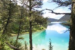
Cliff Lake
Cameron, Montana
41.0 miles NECliff Lake is a serene, crystal-clear mountain lake in the Beaverhead-Deerlodge National Forest of southwestern Montana — the quieter twin of neighboring Wade Lake, tucked into the forested...
Canoe, Kayak 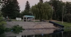
St. Anthony Sandbar
Saint Anthony, Idaho
41.2 miles SECLOSED. //// Sand Bar Update //// ***As of 27 June 2019 *** The Sand Bar is still closed to ALL swimming, please do not cross the boundary line. We are closely monitoring the river flows (currently at 2100 CFS) we typically like to see the levels at approximately 1200 CFS before swimmers are allowed in the water. We are anticipating opening the Sand Bar to swimmers very soon, we ask that you be patient and respect the closure until then. SAPD. A community river park with 60-plus years of history — water slide, diving board, floating platform, sandboxes, playground, and roped shallow and deep swimming areas on Henry's Fork.
Dive, Swim
Nearby Campsites
Aldous Lake and Hancock Lake
Kilgore, Idaho
19.5 miles ETwin alpine lakes — Aldous and Hancock — on a scenic 1.5-to-2.5-mile hike near Kilgore, with beautiful mountain scenery and heavier weekend crowds.
Backpack, Camp, Hike, Horseback, Swim
Pine Butte / The Caldera
St. Anthony, Idaho
22.2 miles SEAn old volcano in the Idaho desert that feels like stepping into a mountain forest — pine-covered hillsides, a meadow ringed by aspen and boulders, and a quarter-mile easy trail to the caldera floor.
Camp, Hike, Horseback
Webber Creek
Dubois, Idaho
23.6 miles WA dispersed recreation area at 7,000 feet elevation with a trailhead, vault toilet, and the Webber Creek Trail heading west toward Scott Peak — great for hiking, fishing, horseback riding, and mountain biking.
Backpack, Camp, Hike, Horseback, Hot Springs, Mountain Bike
Birch Creek
Leadore, Idaho
39.0 miles SWA campground along Birch Creek with 25 developed sites, picnic tables, fire rings, and restrooms — plus great fishing for brook, rainbow, and brown trout in the creek and nearby Caribou-Targhee access.
Camp 0.8-1.3 mi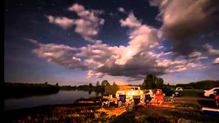
Warm Slough Campground
Rexburg, Idaho
41.6 miles SEA popular river campground with two boat ramps and an easy, slow-moving inner tube float — the take-out is 1,000 feet from the put-in, making multiple runs a breeze.
Airsoft, Camp, Canoe 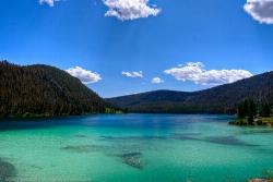
Wade Lake
Cameron, Montana
41.8 miles NEWade Lake is a hidden gem of southwestern Montana — a spring-fed mountain lake famous for its glassy, aquamarine water, tucked into a forested ravine at the southern end of the Gravelly Range....
Camp, Canoe, Kayak, Swim 0.9 mi
Buffalo River Campground
Island Park, Idaho
42.1 miles EAn easy, clear, and often warm float on the Buffalo River near Island Park, with slow enough current to paddle back upstream in a canoe or kayak after your run.
Camp, Canoe, Kayak, Swim 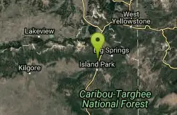
Upper Coffee Pot Campground
Island Park, Idaho
42.2 miles EHenry's Fork of the Snake River winds through a lodgepole pine forest past this campground, offering fly-fishing for rainbow and brook trout and easy tubing and canoeing.
Camp, Canoe 
Beaver Dick Park
Rexburg, Idaho
43.8 miles SA 9.5-acre Snake River park near Rexburg with fire pits, pavilions, fishing, boating, swimming, and a rich history tied to legendary frontiersman Beaver Dick Leigh.
Camp, Canoe, Disc Golf, Swim 0.6-2.0 mi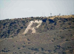
North Menan Butte ('R' Mountain)
Menan, Idaho
45.1 miles SA volcanic butte locals call R Mountain, with a paved trailhead, chain handrails near the top, informational signs at the rim, and views of Rexburg and the Snake River.
Camp, Cave, Hike 0.2-0.5 mi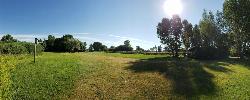
Eagle Park
Rexburg, Idaho
45.3 miles SEA cottonwood forest park inside Rexburg city limits with campsites, fishing, a dog park, mountain biking on easy and moderate loops, and rock-throwing by the river.
Camp, Hike, Mountain Bike, Sled 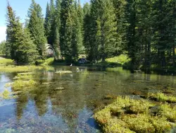
Big Springs
Island Park, Idaho
47.7 miles EA Big Springs campground shaded by Lodgepole Pines on Henry's Fork — with a 1-mile interpretive trail, fish feeding under the bridge, the historic Johnny Sack Cabin, and access to the Mesa Falls Scenic Byway.
Camp, Hike 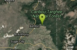
Warm River Campground
Ashton, Idaho
49.5 miles SESlow-moving warm water and willow-lined banks make this campground a perfect spot for tubing, trout fishing, and peaceful mountain biking at 5,200 ft elevation.
Camp 0.3-0.6 mi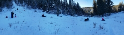
Bear Gulch
Ashton, Idaho
49.7 miles EAn abandoned ski hill from 1969 with overgrown runs that still deliver great sledding — the lower run is fast and winding all the way down to the old ski lift.
Camp, Cross-country Ski, Hike, Sled


