


Boucher Trail to Hermit Trail Loop
Grand Canyon Village, Arizona
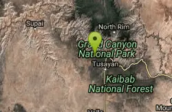
| Address: | ~Hermit Trail, Grand Canyon Village, AZ 86023, USA |
| GPS: |
36°3'38.1"N 112°12'43.7"W Maps | Directions |
| State: | Arizona |
| Trail Length: | 20.70 miles |
| Trail Type: | Loop |
| Hike Difficulty: | Advanced |
| Elevation Gain: | 5646 feet |
Pet Friendly
Backpack, Camp, and Hike
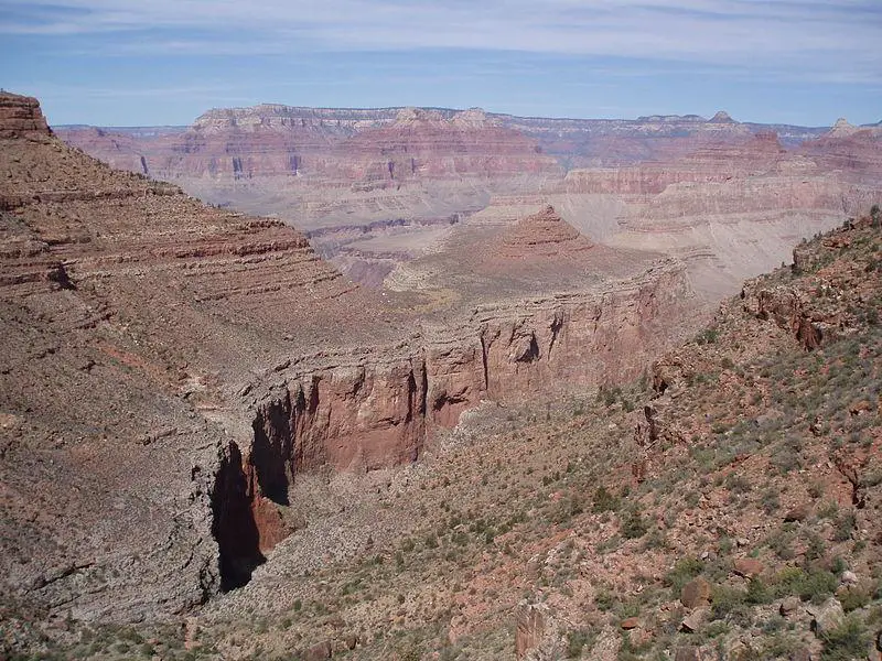
A demanding loop trip of three to four days, tracing one of the most difficult South Rim trails. Even seasoned Grand Canyon backpackers consider the Boucher Trail to be the most difficult, hazardous, and challenging trail in the South Rim. The trip begins at Hermit Road which is closed to private vehicles March 1 through November 30. During this time a free shuttle bus offers access to Hermits Rest every 15 and 30 minutes from about 5:15 am to sunset each day. You can board the shuttle bus at Hermits Rest Transfer shuttle bus stop. Courtesy of AllTrails.com
More Information
Grand Canyon National Park Itinerary
This Grand Canyon National Park Itinerary will help you get started as you plan your vacation to Grand Canyon National Park.
https://www.justgotravelstudios.com/collections/national-park-itineraries/products/grand-canyon-national-park-itinerary?ref=9zpxis0diinBe courteous, informed, and prepared. Read trailhead guidelines, stay on the trail, and don't feed the wildlife.
Read More
- Plan Ahead and Prepare
- Travel & camp on durable surfaces
- Dispose of waste properly
- Leave what you find
- Minimize campfire impacts
- Respect wildlife
- Be considerate of other visitors
Directions
From Grand Canyon Village, Arizona
- Head west (344 ft)
- Turn right toward Village Loop Drive (141 ft)
- Turn right onto Village Loop Drive (0.4 mi)
- Turn left to stay on Village Loop Drive (0.5 mi)
- Turn right onto Hermit RdRestricted usage road(1.0 mi)
- Turn leftRestricted usage road(0.7 mi)
- Turn left onto Hermit RdRestricted usage road(5.0 mi)
- Turn right to stay on Hermit RdRestricted usage roadDestination will be on the right(0.2 mi)

Other Hiking Trails and Backpacking Trails Nearby
Hermit's Rest Viewpoint to Santa Maria Spring
Grand Canyon Village, Arizona
0.0 miles NWThe Hermit Trail to Santa Maria Spring is a rugged, uncrowded Grand Canyon South Rim hike with steep switchbacks and huge views.
Backpack, Hike 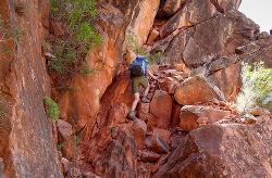
Boucher Trail
Grand Canyon Village, Arizona
0.0 miles NA remote 17.7-mile out-and-back trail to the Colorado River at the base of the Grand Canyon — recommended for very experienced adventurers only, best March through October.
Backpack, Hike 
Hermits Rest Viewpoint to Dripping Springs Trail
Grand Canyon Village, Arizona
0.0 miles SWThe hike to Dripping Springs via the Hermit Trail is a rugged, uncrowded Grand Canyon South Rim trek to a fern-fringed spring overhang.
Backpack, Hike 7.7 mi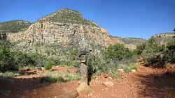
Waldron Trail
Grand Canyon Village, Arizona
0.0 miles SWA short but demanding 4.9-mile Grand Canyon hike branching off Hermit Trail, packed with views and adventure — bring a water treatment kit and prepare for dehydration, flash flooding, and overexertion.
Hike 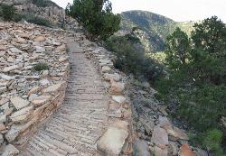
Hermit's Rest Viewpoint to Tonto Trail to Bright Angel Trail
Grand Canyon Village, Arizona
0.0 miles NEA multi-day Grand Canyon backpacking route crossing the Tonto Trail from Hermit's Rest to Bright Angel — spectacular inner canyon views with limited water sources and 3,000-foot rim access by foot only.
Backpack, Camp, Hike 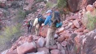
Hermit Trail
Grand Canyon Village, Arizona
0.1 miles NEA strenuous, less-crowded Grand Canyon backpacking trail with 2,000 feet of descent in the first 2.5 miles, Cathedral stairs, Redwall cliffs, and fossilized animal tracks.
Backpack, Camp, Hike 8.4 mi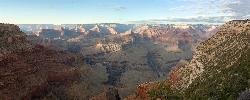
Grand Canyon Rim Village to Hermits Rest
Grand Canyon Village, Arizona
3.8 miles EA bus-accessible, kid-friendly trail from the Grand Canyon Rim Village to the historic 1914 Hermits Rest cabin — featuring stunning river views, wildflowers, wildlife, and a gift shop and snack bar at the end.
Backpack, Hike 4.9 mi
Bright Angel Trail to Tonto Trail
Grand Canyon Village, Arizona
3.8 miles EA rugged 12.4-mile point-to-point through Grand Canyon's inner gorge on the South Kaibab–Tonto Trail corridor, with over 3,000 feet of elevation gain — advanced hikers only.
Backpack, Camp, Hike 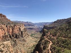
Bright Angel Trail to Three-Mile Rest house
Grand Canyon Village, Arizona
3.8 miles EA steep 5.4-mile out-and-back trail descending into the Grand Canyon with 360-degree canyon views and extreme switchbacks — water and pit toilets at the Three-Mile Resthouse turnaround point.
Backpack, Camp, Hike 4.5 mi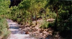
Bright Angel Trail to Bright Angel Campground and River Trail
Grand Canyon Village, Arizona
3.8 miles EThe Bright Angel Trail is the Grand Canyon's most storied hike — South Rim to the Colorado River past tunnels, pictographs, Havasupai Gardens, and the Devil's Corkscrew.
Backpack, Camp, Hike, Rock Climb 1.5-9.8 mi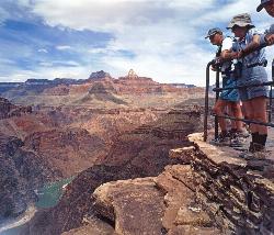
The Bright Angel Trails
Grand Canyon Village, Arizona
3.8 miles EMultiple Bright Angel Trail routes range from a 5.4-mile out-and-back to the Three-Mile Resthouse to a 19-mile trek to the river, with the 12.4-mile South Kaibab–Tonto–Bright Angel point-to-point offering over 3,000 feet of Grand Canyon grandeur.
Backpack, Camp, Hike, Horseback 
South Rim Visitor Center Trail
Grand Canyon Village, Arizona
4.7 miles EA short, well-marked connector trail near the South Rim Visitor Center of Grand Canyon National Park, leading to a nearby restaurant with rock and geological timeline markers along the way — great for kids.
Hike 0.6 mi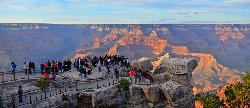
Mather Campground Trail
Grand Canyon Village, Arizona
5.4 miles EA 1-mile connector trail adjacent to Mather Campground on the Grand Canyon South Rim — flat and easy for biking, running, or walking with pets on leash; campground has RV options nearby.
Camp, Hike, Mountain Bike 
Clear Creek Trail
Grand Canyon Village, Arizona
7.2 miles EA 4–6 day Grand Canyon backpack deep into a fascinating, off-the-beaten-track drainage — bring plenty of water, as Clear Creek is the only reliable source on trail.
Backpack, Camp, Hike 13.6 mi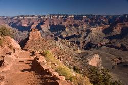
South Kaibab Trails
Grand Canyon Village, Arizona
7.2 miles ESeven miles of ridgeline descent from Yaki Point to the canyon floor — no shade, no water on trail, and the best unobstructed Grand Canyon panoramas you'll find on any hike.
Camp, Hike, Horseback 5.7 mi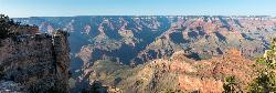
Rim Trail
Grand Canyon Village, Arizona
7.2 miles EA mostly paved 12-mile walking path along the South Rim with spectacular Grand Canyon views, shaded areas, accessible sections for wheelchairs and strollers, and optional shuttle service.
Hike, Mountain Bike 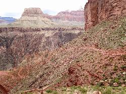
South Kaibab to North Kaibab to Bright Angel Trail
Grand Canyon Village, Arizona
7.2 miles EThe Grand Canyon's legendary Rim-to-Rim-to-Rim route — 44 miles and 20,000 feet of elevation change combining South Kaibab, North Kaibab, and Bright Angel trails for an epic multi-day adventure.
Backpack, Camp, Hike 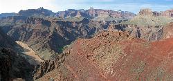
South Kaibab to Phantom Ranch to Bright Angel Trail
Grand Canyon Village, Arizona
7.2 miles EA difficult but spectacular multi-day Grand Canyon hike combining South Kaibab's stunning rim views with Phantom Ranch's riverside oasis and Bright Angel's shaded water stations.
Backpack, Camp, Hike 
The Grand Canyon: Kaibab to Bright Angel Trail
Grand Canyon Village, Arizona
7.2 miles EAn unforgettable 2-3 day hike combining the South Kaibab's unbeatable views with the shaded, water-rich Bright Angel Trail — staring up at the canyon from the river below.
Backpack, Camp, Hike 
Grandview Lookout
Grand Canyon Village, Arizona
7.9 miles SEA lookout point at the Grand Canyon in Grand Canyon Village, Arizona — scenic views from the South Rim.
HikeNearby Campsites
Hermit's Rest Viewpoint to Tonto Trail to Bright Angel Trail
Grand Canyon Village, Arizona
0.0 miles NEA multi-day Grand Canyon backpacking route crossing the Tonto Trail from Hermit's Rest to Bright Angel — spectacular inner canyon views with limited water sources and 3,000-foot rim access by foot only.
Backpack, Camp, Hike
Hermit Trail
Grand Canyon Village, Arizona
0.1 miles NEA strenuous, less-crowded Grand Canyon backpacking trail with 2,000 feet of descent in the first 2.5 miles, Cathedral stairs, Redwall cliffs, and fossilized animal tracks.
Backpack, Camp, Hike 4.9 mi
Bright Angel Trail to Tonto Trail
Grand Canyon Village, Arizona
3.8 miles EA rugged 12.4-mile point-to-point through Grand Canyon's inner gorge on the South Kaibab–Tonto Trail corridor, with over 3,000 feet of elevation gain — advanced hikers only.
Backpack, Camp, Hike
Bright Angel Trail to Three-Mile Rest house
Grand Canyon Village, Arizona
3.8 miles EA steep 5.4-mile out-and-back trail descending into the Grand Canyon with 360-degree canyon views and extreme switchbacks — water and pit toilets at the Three-Mile Resthouse turnaround point.
Backpack, Camp, Hike 4.5 mi
Bright Angel Trail to Bright Angel Campground and River Trail
Grand Canyon Village, Arizona
3.8 miles EThe Bright Angel Trail is the Grand Canyon's most storied hike — South Rim to the Colorado River past tunnels, pictographs, Havasupai Gardens, and the Devil's Corkscrew.
Backpack, Camp, Hike, Rock Climb 1.5-9.8 mi
The Bright Angel Trails
Grand Canyon Village, Arizona
3.8 miles EMultiple Bright Angel Trail routes range from a 5.4-mile out-and-back to the Three-Mile Resthouse to a 19-mile trek to the river, with the 12.4-mile South Kaibab–Tonto–Bright Angel point-to-point offering over 3,000 feet of Grand Canyon grandeur.
Backpack, Camp, Hike, Horseback 0.6 mi
Mather Campground Trail
Grand Canyon Village, Arizona
5.4 miles EA 1-mile connector trail adjacent to Mather Campground on the Grand Canyon South Rim — flat and easy for biking, running, or walking with pets on leash; campground has RV options nearby.
Camp, Hike, Mountain Bike
Clear Creek Trail
Grand Canyon Village, Arizona
7.2 miles EA 4–6 day Grand Canyon backpack deep into a fascinating, off-the-beaten-track drainage — bring plenty of water, as Clear Creek is the only reliable source on trail.
Backpack, Camp, Hike 13.6 mi
South Kaibab Trails
Grand Canyon Village, Arizona
7.2 miles ESeven miles of ridgeline descent from Yaki Point to the canyon floor — no shade, no water on trail, and the best unobstructed Grand Canyon panoramas you'll find on any hike.
Camp, Hike, Horseback
South Kaibab to North Kaibab to Bright Angel Trail
Grand Canyon Village, Arizona
7.2 miles EThe Grand Canyon's legendary Rim-to-Rim-to-Rim route — 44 miles and 20,000 feet of elevation change combining South Kaibab, North Kaibab, and Bright Angel trails for an epic multi-day adventure.
Backpack, Camp, Hike
South Kaibab to Phantom Ranch to Bright Angel Trail
Grand Canyon Village, Arizona
7.2 miles EA difficult but spectacular multi-day Grand Canyon hike combining South Kaibab's stunning rim views with Phantom Ranch's riverside oasis and Bright Angel's shaded water stations.
Backpack, Camp, Hike
The Grand Canyon: Kaibab to Bright Angel Trail
Grand Canyon Village, Arizona
7.2 miles EAn unforgettable 2-3 day hike combining the South Kaibab's unbeatable views with the shaded, water-rich Bright Angel Trail — staring up at the canyon from the river below.
Backpack, Camp, Hike 
Grand Canyon South Rim Area Campgrounds
Grand Canyon Village, Arizona
8.1 miles SECampgrounds at the Grand Canyon's South Rim, one of the most iconic settings in the American Southwest.
Camp 
South Bass Trail
Supai, Arizona
12.5 miles NWA strenuous 15.6-mile round-trip remote hike in Grand Canyon with no water at the trailhead, 4,400 feet of descent to the Colorado River, and no established campsites below the rim.
Backpack, Camp, Hike 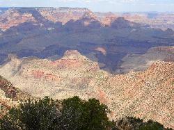
Grandview Trail Loop
Grand Canyon Village, Arizona
13.3 miles EA scenic Grand Canyon hiking trail — mountain bikes are illegal on Canyon trails, so lace up your boots and enjoy the views on foot.
Backpack, Camp, Cross-country Ski, Hike 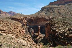
Tonto Trail from Grandview Point to South Kaibab Trailhead
Grand Canyon Village, Arizona
13.3 miles EA rigorous four-to-five-day point-to-point backpack along the scenic, remote Tonto Trail from Grandview Point to the South Kaibab Trailhead — recommended for experienced Grand Canyon backpackers with careful water planning.
Backpack, Camp, Hike 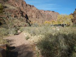
North Kaibab Trail to Colorado River
North Rim, Arizona
13.8 miles NEA steep, well-maintained, and well-marked trail dropping from the North Rim to the Colorado River — perfect for experienced hikers ready for serious elevation change.
Backpack, Camp, Hike 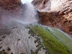
Phantom Ranch to Ribbon Falls on North Kaibab Trail
North Rim, Arizona
13.8 miles NEA classic Grand Canyon corridor hike on the North Kaibab Trail from Phantom Ranch to Ribbon Falls.
Camp, Hike 
Rim-to-Rim: North Kaibab to Grand Canyon Village
North Rim, Arizona
13.9 miles NEA four-day rim-to-rim Grand Canyon hike with stops at Ribbon Falls, Phantom Ranch, Cottonwood Camp, and a sunset at Plateau Point that must be seen to be believed.
Backpack, Camp, Hike 6.3 mi
Tiyo Point Trail
North Rim, Arizona
13.9 miles NEA lightly traveled primitive North Rim trail through encroaching forest with old markers on trees, wildflowers, gentle rolling terrain, and a single picnic area near the end.
Backpack, Camp, Hike


