


Clear Creek
Lebanon, Kentucky
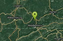
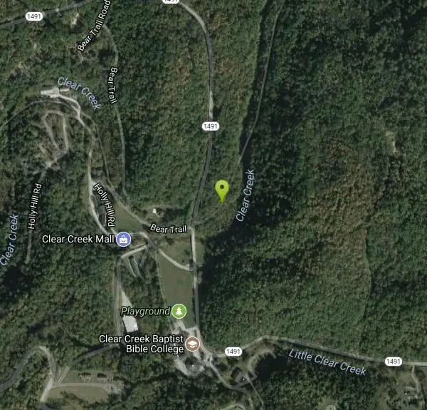
| GPS: |
36°43'43.3"N 83°43'36.1"W Maps | Directions |
| State: | Kentucky |
Hike, Horseback, Mountain Bike, and Swim
Clear Creek is a wide multi-purpose trail that follows a beautiful creek. This trail is open to hikers, runners, mountain bikers, fishermen, horse back riders and off-road vehicles under 50 inches. The trail is a little over three miles in length leaving plenty of space to explore.
Clear Creek is an abandoned railroad route that hosts a variety of views for adventurers. The trail is wide and level, and passes forests and creeks. The creeks are open for fishing and swimming. Swimmers are encouraged to check water safety and use caution when swimming.
More Information
Explore | Pine Mountain State Resort Park
- Visit this historical “First” Kentucky State Park- Hike the Chained Rock Trail- Visit the Laurel Cove Amphitheater- Enjoy the fresh catfish or a hot brown at the lodge dining room- Play 18 holes of golf
https://parks.ky.gov/explore/pine-mountain-state-resort-park-7799Never modify trail features. Ride trails when they're dry enough that you won't leave ruts. Speak up when you see others on the trail and always yield to hikers, horses, and others coming uphill. Always ride on the established trail.
Read MoreBe courteous, informed, and prepared. Read trailhead guidelines, stay on the trail, and don't feed the wildlife.
Read More
- Plan Ahead and Prepare
- Travel & camp on durable surfaces
- Dispose of waste properly
- Leave what you find
- Minimize campfire impacts
- Respect wildlife
- Be considerate of other visitors
Directions
From Lebanon, Kentucky
- Head east on US-68 E/
W Main St toward N Spalding Ave Continue to follow US-68 E(14.4 mi) - Turn right onto KY-34 E (1.2 mi)
- Turn right onto KY-34 E/
Lebanon Rd (11.0 mi) - Turn right onto US-150 BYP S/
S Danville Bypass (4.1 mi) - Continue onto US-150 E (31.0 mi)
- Continue onto US-25 S/
S Wilderness Rd (2.0 mi) - Take the ramp onto I-75 S (20.6 mi)
- Keep left to stay on I-75 S (9.2 mi)
- Take exit 29 for US-25/
US-25E/ Cumberland Gap Parkway toward Corbin/ Barbourville (0.4 mi) - Turn left onto US-25 E SPass by Wendy's (on the right in 18.8 mi)(35.3 mi)
- Turn right onto State Hwy 190 (1.6 mi)
- Slight right onto State Hwy 1491Destination will be on the right(0.9 mi)
Other Mountain Bike Trails, Swimming Holes, Hiking Trails, and Horseback Trails Nearby
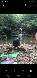
Gabe's Creek Falls
Big Laurel, Kentucky
31.0 miles NECLOSED. A bright blue pool ringed by short cliffs and cave-like overhangs, fed by a waterfall, on a short trail requiring careful footing on slick rock.
Swim 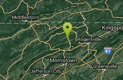
Elrod Falls
Thorn Hill, Tennessee
33.2 miles SESwim near Thorn Hill, Tennessee
Swim 0.7 mi
Dog Slaughter Falls
Williamsburg, Kentucky
33.5 miles WA 15-foot waterfall plunging over a mossy overhang into a bright blue pool in Daniel Boone National Forest — a shaded two-mile round trip with creek views the whole way.
Hike, Swim 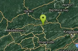
Blue Hole Jonesville
Jonesville, Virginia
36.7 miles ECLOSED. This is on private property with no trespassing signs clearly displayed.
Swim 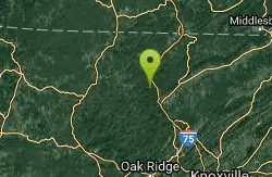
Turley Hole
Pioneer, Tennessee
39.4 miles SWSwim near Pioneer, Tennessee
Swim 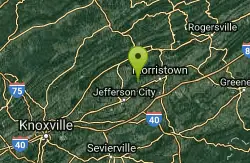
Panther Creek State Park
Morristown, Tennessee
40.2 miles SESurprisingly great singletrack at Panther Creek State Park near Morristown — not too rooty, right amount of hills, and better than what some Virginia riders are used to.
Mountain Bike 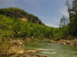
Blue Heron
Stearns, Kentucky
45.7 miles WA forested swimming hole on the Big South Fork Cumberland River — shallow at the edges, deeper in the center, with a picnic area nearby and Mine 18 museum a short walk away.
Swim 
Short Creek
Somerset, Kentucky
48.5 miles NWA 150-foot stretch of 56-degree spring water emerging from underground, shockingly clear against lush green woods — swim, picnic, or peek into the cave where it disappears.
Cave, Hike, Swim


