


Laurel River Lake Spillway Beach
Corbin, Kentucky
Camp, Canoe, Hike, Kayak, and Swim
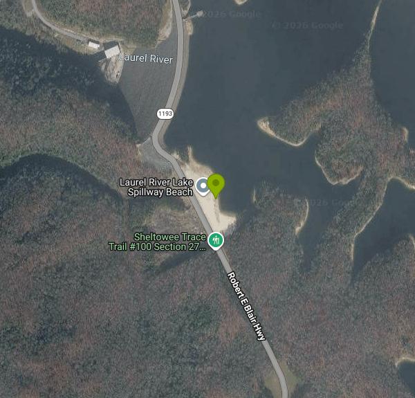
Spillway Beach is the Corps of Engineers day use area at the dam end of Laurel River Lake, about fifteen miles west of Corbin off KY 1193. It is a sand and gravel beach on a protected cove with a bathhouse, restrooms, picnic tables and a paved lot, and it is the one place on the lake set up specifically for swimming from shore. There are no lifeguards. The bottom drops off reasonably quickly past the buoy line, which is normal for a mountain reservoir with a flooded creek channel underneath it.
Laurel River Lake covers about 5,600 acres with close to 200 miles of shoreline, almost all of it wooded and undeveloped because the Daniel Boone National Forest owns the land around it. It is routinely described as one of the deepest and cleanest lakes in Kentucky, and the clarity is real; on a calm morning you can see eight or ten feet down. The Corps finished the dam on the Laurel River, a tributary of the Cumberland, in 1974 for flood control, hydropower and recreation. The Corps runs the dam and the Forest Service administers the shoreline, which is why some facilities here carry a federal recreation fee and others do not.
Six recreation complexes are spread around the lake: Grove, Laurel Bridge, Cane Creek, Craigs Creek, Holly Bay, Marsh Branch and Flatwoods. Holly Bay is the largest, with a full service marina, a campground and its own beach, and it is the usual base for anyone spending a weekend here. Two campgrounds, Grove and White Oak, are boat access only, which makes for a good overnight paddle if you have the gear. Ramps at Craigs Creek and Flatwoods put you closest to the upper arms.
The lake's shape rewards a kayak. Long narrow fingers reach back into the hollows, and several of them end at small waterfalls that only run well in spring and after rain. Cliff jumping happens at a few of the rock faces on the main channel; the Corps does not sanction it and the depth varies with pool level, so the sensible approach is to look before you leap or skip it. Summer pool holds through Labor Day and the water is warm enough for comfortable swimming from mid-June into September.
Corbin is the nearest town of any size and has the full run of services. Cumberland Falls State Resort Park, with the 68 foot falls that throw a moonbow on clear full moon nights, is about twenty minutes southeast, and the Sheltowee Trace National Recreation Trail passes through the area on its way north. Fishing on the lake is mostly walleye, smallmouth and striped bass, and there is a good crappie bite in the coves in spring.
More Information
Be courteous, informed, and prepared. Read trailhead guidelines, stay on the trail, and don't feed the wildlife.
Read More
- Plan Ahead and Prepare
- Travel & camp on durable surfaces
- Dispose of waste properly
- Leave what you find
- Minimize campfire impacts
- Respect wildlife
- Be considerate of other visitors
Directions
From Corbin, Kentucky
- Head west on W Gordon St toward N Kentucky Ave (246 ft)
- Turn left onto N Kentucky Ave (0.3 mi)
- Turn right onto W 4th St (0.8 mi)
- Continue onto State Hwy 727/
W 5th Street Rd Continue to follow State Hwy 727(2.4 mi) - At the traffic circle, take the 2nd exit onto State Hwy 727/
5th St Rd (1.4 mi) - Turn right onto US-25W S (3.4 mi)
- Turn right onto KY-1193 N (4.6 mi)
- Turn right to stay on KY-1193 NDestination will be on the right(3.1 mi)
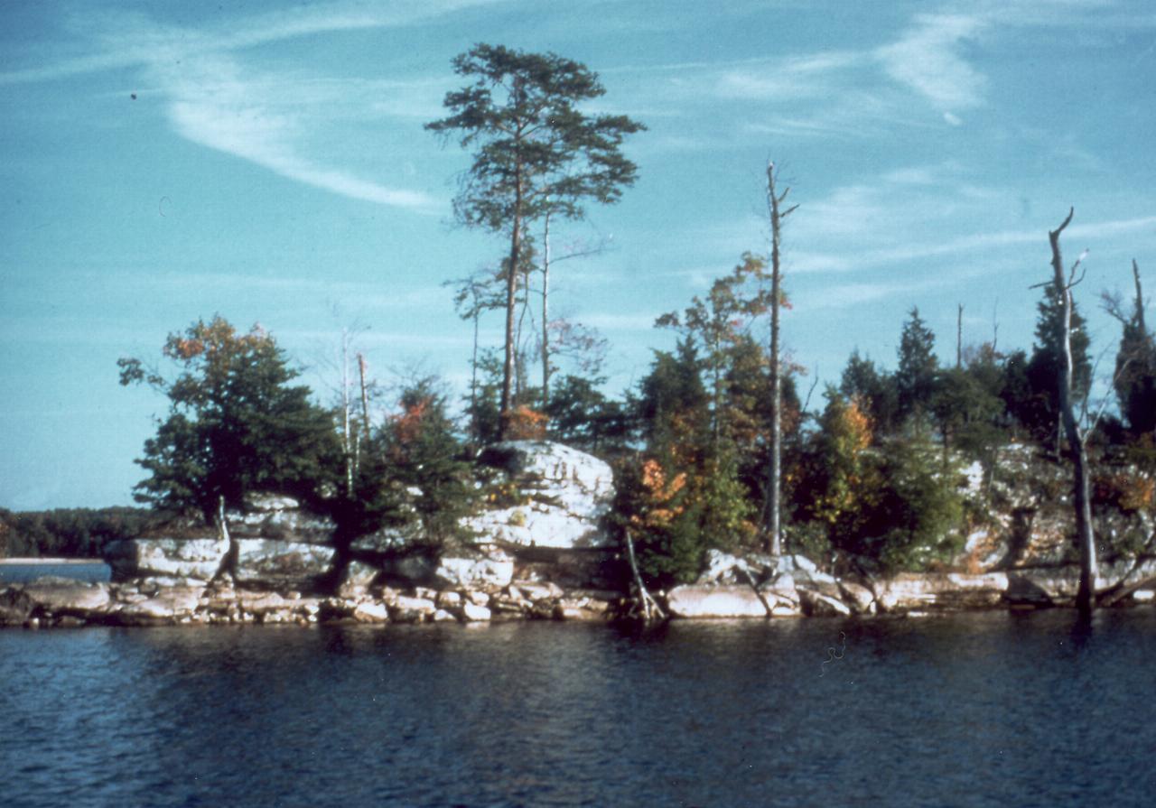
 Laurel River Lake and its wooded shoreline courtesy of George Green, U.S. Army Corps of Engineers↗ (Public domain↗)
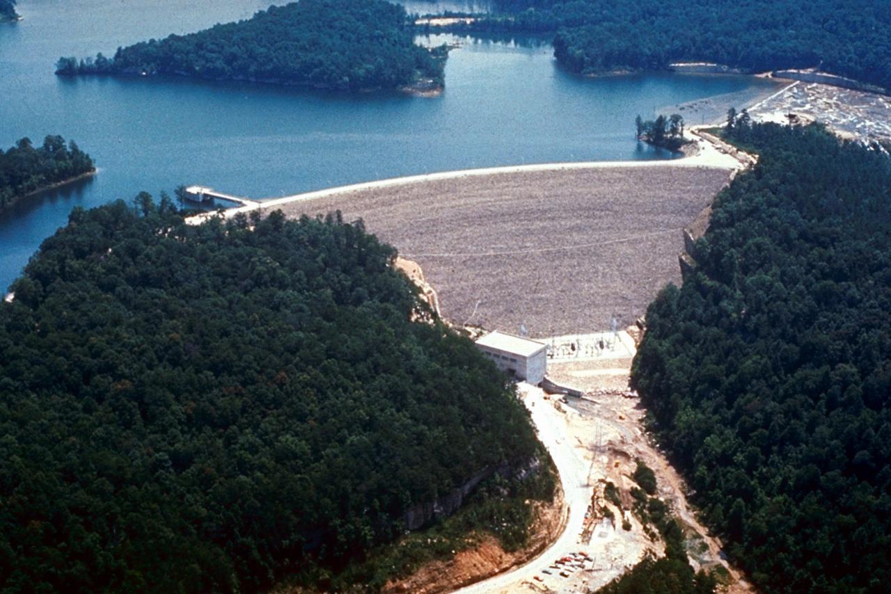
 Laurel River Dam and the lake behind it courtesy of George Green, U.S. Army Corps of Engineers↗ (Public domain↗)
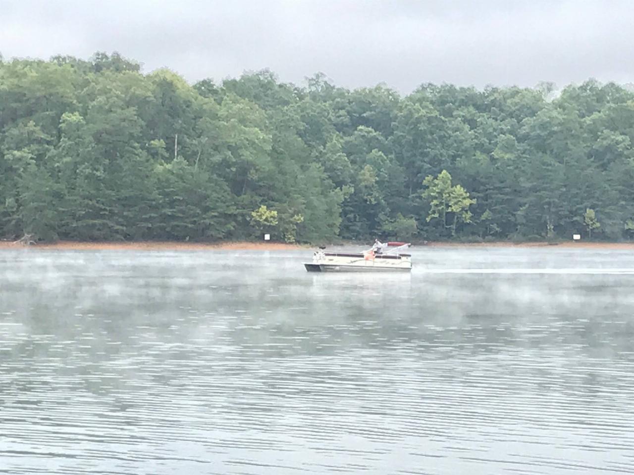
 Boats rafted up on Laurel River Lake over a summer holiday weekend courtesy of Regina Roby, London Ranger District, U.S.Forest Service-Daniel Boone National Forest↗ (Public domain↗)
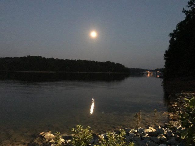
 Campers at Holly Bay on Laurel River Lake courtesy of Regina Roby, London Ranger District, U.S.Forest Service-Daniel Boone National Forest↗ (Public domain↗)
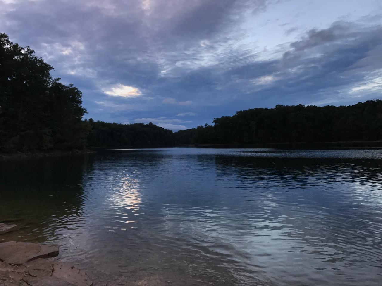
 Evening light on the shoreline at Laurel River Lake courtesy of U.S.Forest Service-Daniel Boone National Forest↗ (Public domain↗)
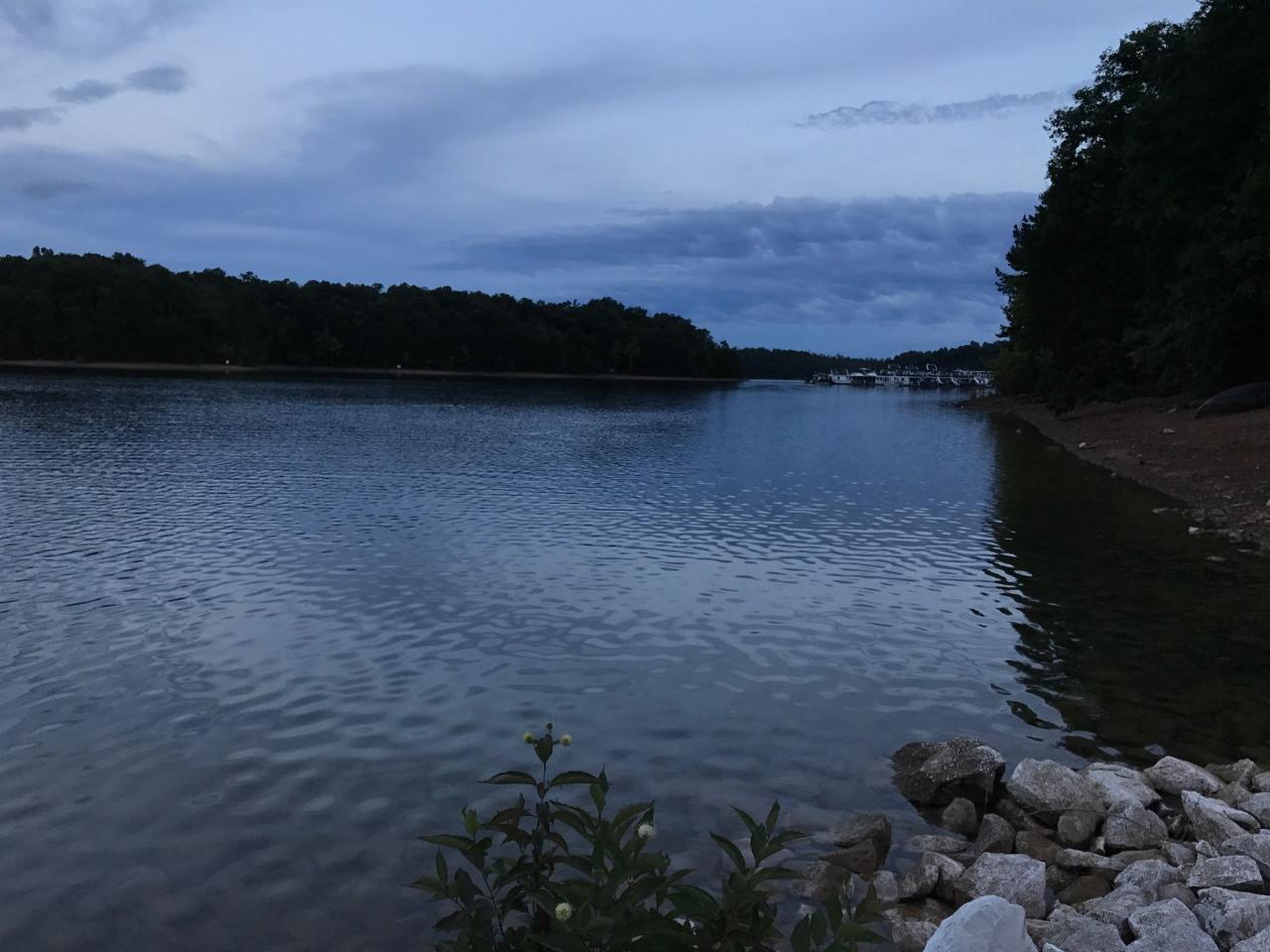
 Open water and forested ridges at Laurel River Lake courtesy of U.S.Forest Service-Daniel Boone National Forest↗ (Public domain↗)
Other Swimming Holes, Hiking Trails, Canoeing Areas, and Kayaking Areas Nearby

Dog Slaughter Falls
Williamsburg, Kentucky
7.3 miles SA 15-foot waterfall plunging over a mossy overhang into a bright blue pool in Daniel Boone National Forest — a shaded two-mile round trip with creek views the whole way.
Hike, Swim
Short Creek
Somerset, Kentucky
16.1 miles NWA 150-foot stretch of 56-degree spring water emerging from underground, shockingly clear against lush green woods — swim, picnic, or peek into the cave where it disappears.
Cave, Hike, Swim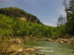
Blue Heron
Stearns, Kentucky
25.3 miles SWA forested swimming hole on the Big South Fork Cumberland River — shallow at the edges, deeper in the center, with a picnic area nearby and Mine 18 museum a short walk away.
Swim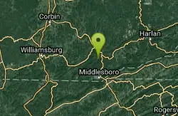
Clear Creek
Lebanon, Kentucky
33.9 miles SEA wide, level three-mile multi-use trail following a beautiful creek on a former railroad route through forest — open to hikers, bikers, horses, ORVs, and anglers, with swimming allowed in the creeks.
Hike, Horseback, Mountain Bike, Swim 1.0 mi
Gentleman's Swimming Hole
Oneida, Tennessee
38.9 miles SWClear Fork River runs slow and deep through Big South Fork, making Gentleman's Swimming Hole a rare chance for a real swim at the end of an easy 2-mile family trail.
Hike, Swim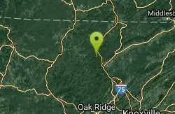
Turley Hole
Pioneer, Tennessee
40.7 miles SSwim near Pioneer, Tennessee
Swim
Big South Fork Area
Helenwood, Tennessee
44.3 miles SWMiles of trails, multiple named swimming holes, and five campgrounds spanning the Kentucky-Tennessee border in Big South Fork National Recreation Area — including Gentleman's Swimming Hole and Station Camp.
Camp, Hike, Swim
Clifty Creek
Jamestown, Kentucky
44.6 miles WOrange slate cliffs cloaked in green trees reflect on the water's surface at this local swimming and kayaking spot — don't miss Hidden Falls at the far end, a mossy-rock cave-waterfall hidden gem.
Canoe, Kayak, Swim


