


Green Lake Beach
Fayetteville
Camp, Canoe, Hike, Kayak, and Swim
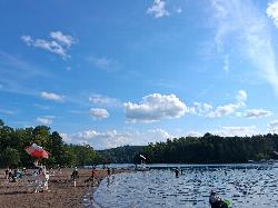
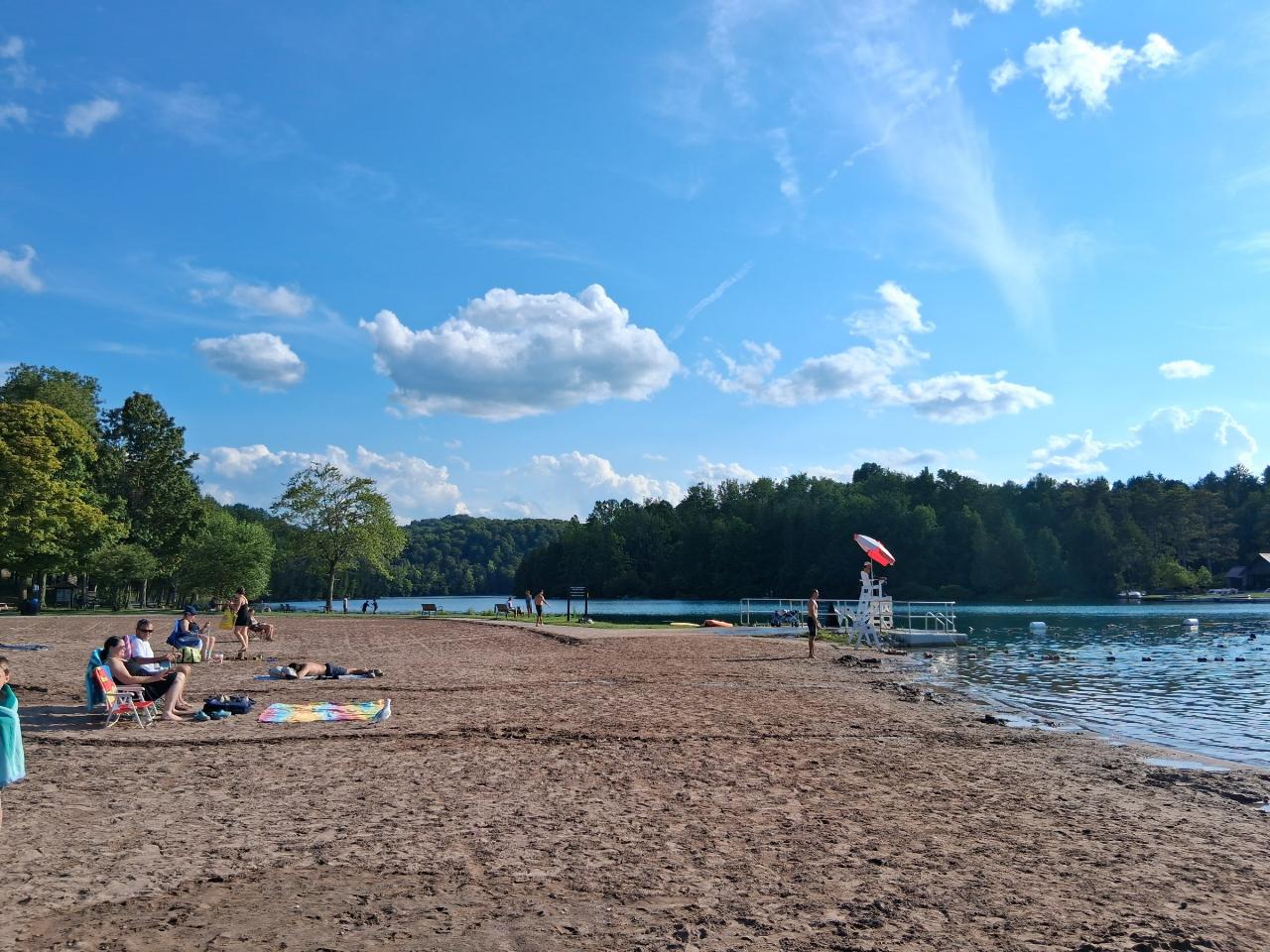
Green Lake Beach sits at the north end of Green Lake inside Green Lakes State Park, about four miles northeast of Fayetteville and roughly fifteen minutes from downtown Syracuse. It is a broad crescent of sand backed by mown lawn and shade trees, with a bathhouse, a snack bar and a boathouse a short walk behind it. Lifeguards work a buoyed swimming area through the summer season, and that buoyed rectangle is the only place in the park where you are allowed in the water.
The reason people drive here is the color. Green Lake and its neighbor Round Lake are meromictic, meaning their deep water never turns over and mixes with the surface the way nearly every other lake in New York does each spring and fall. Below roughly 55 feet, Green Lake stays permanently separated, oxygen free, and loaded with sulfur, calcium and magnesium that arrives through the bedrock rather than off the surface. A purple sulfur bacterium lives down in that layer. Up top, the same mineral load drives annual whiting events, when tiny calcite crystals precipitate out of the water column and scatter light back as a milky blue green. That is the turquoise you see in photographs of the beach, and it is chemistry, not a camera filter.
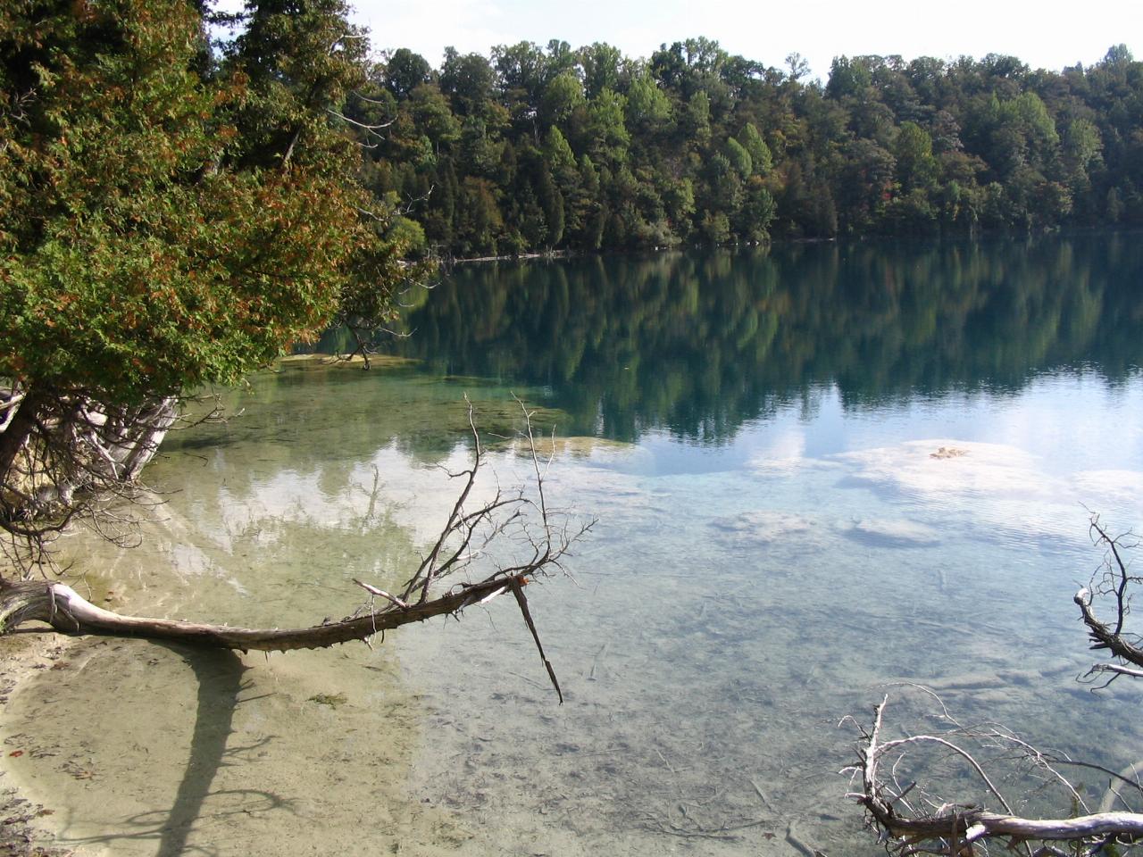
Those crystals have been settling for thousands of years. Along the shore they built the pale shelf at Deadman's Point, a marl reef that glows underwater and is visible from the lakeside trail, with rare aquatic mosses and sponges growing beneath it. Stay out of the water there. The reef is fragile, and the park rule is the guarded beach or nowhere.
A typical visit is the beach plus a lap. The North Lake and Round Lake trails connect into a level figure eight of a little over 3 miles that keeps water on one side and steep wooded slope on the other. Close to half the park is old growth forest, including a stand of tuliptrees southwest of Round Lake tall enough that people call it the Tuliptree Cathedral. Round Lake itself was named a National Natural Landmark in 1973 for that pairing of a rare meromictic lake with undisturbed forest around it. You can walk its entire shoreline. You cannot swim in it.
The boathouse beside the beach rents rowboats, paddleboats and kayaks by the half hour in season. Private boats, paddleboards and any other outside watercraft are not permitted on either lake, so paddling here means renting. Behind the western cliffs there are 137 campsites and seven cabins, plus an 18 hole Robert Trent Jones golf course, a disc golf course and reservable picnic shelters. The vehicle entrance fee is $10 per car, collected daily from Memorial Day weekend through Labor Day. Outside that window the entrance booth is unstaffed and no fee is charged, but the beach is closed and unguarded then as well.
More Information
Be courteous, informed, and prepared. Read trailhead guidelines, stay on the trail, and don't feed the wildlife.
Read More
- Plan Ahead and Prepare
- Travel & camp on durable surfaces
- Dispose of waste properly
- Leave what you find
- Minimize campfire impacts
- Respect wildlife
- Be considerate of other visitors
Directions
From Fayetteville
- Head south toward Otis F. Jones Pkwy (0.1 mi)
- Turn left onto Otis F. Jones Pkwy (325 ft)
- Turn right onto Person St (0.1 mi)
- At the traffic circle, continue straight to stay on Person St (0.3 mi)
- At the traffic circle, continue straight to stay on Person St (0.3 mi)
- Turn left onto I-95BUS N/
N Eastern Blvd Continue to follow I-95BUS N(6.3 mi) - Merge onto I-95 NEntering Virginia(205 mi)
- Keep left to stay on I-95 N (64.9 mi)
- Continue onto I-95 N (25.6 mi)
- Continue straight onto I-395 N (signs for Washington/
I-495 N/ Tysons Corner) (0.7 mi) - Take exit 170B to merge onto I-495 N toward Tysons Corner (8.1 mi)
- Keep left to continue on 495 Express Lanes/
Capital Beltway Inner Lp/ Interstate 495 High Occupancy Toll Toll road(4.3 mi) - 495 Express Lanes/
Capital Beltway Inner Lp/ Interstate 495 High Occupancy Toll turns slightly left and becomes I-495 N/ Capital Beltway Inner Lp Entering Maryland(6.0 mi) - Slight left onto I-270 N (32.3 mi)
- Continue onto US-40 W (1.2 mi)
- Continue onto US-15 NPass by McDonald's (on the right in 59 mi)Entering Pennsylvania(67.5 mi)
- Take the exit onto PA-581 E toward I-83/
Harrisburg/ York (1.4 mi) - Continue onto Capital Beltway/
Harrisburg Expy (0.8 mi) - Merge onto I-83 N/
Capital Beltway (4.6 mi) - Slight left to stay on I-83 N (signs for US-322 W/
I-81/ Hazleton/ State College) (4.0 mi) - Take exit 51 B to merge onto I-81 N toward I-78/
Hazleton/ Allentown (18.9 mi) - Slight left to stay on I-81 N (signs for Hazleton)Entering New York(157 mi)
- Keep right to stay on I-81 N (68.3 mi)
- Keep right (0.9 mi)
- Continue onto I-481 N (4.1 mi)
- Take exit 86A for NY-5 E/
NY-92 E toward Fayetteville (0.3 mi) - Turn right onto NY-5 E/
NY-92 E/ E Genesee St Continue to follow NY-5 E/(0.7 mi)E Genesee St - Slight left onto NY-5 E/
E Genesee St/ Genesee Turnpike Pass by NBT Bank (on the right)(4.1 mi) - Turn left onto Green Lakes Park Dr (2.0 mi)
- Turn left (23 ft)
- Turn right (0.1 mi)
- Turn left (82 ft)
- Turn right (223 ft)
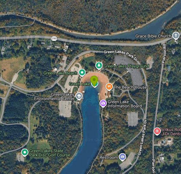 Swimmers inside the buoyed, lifeguarded area at Green Lake Beach on a summer afternoon courtesy of PotatoCow25↗ (CC BY-SA 4.0↗)
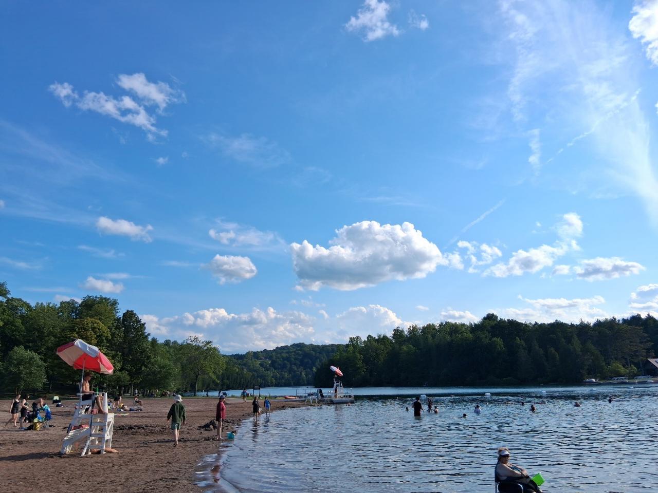
 The sand crescent at the north end of Green Lake, with the lifeguard stand and swim floats out courtesy of PotatoCow25↗ (CC BY-SA 4.0↗)
 The pale calcite shelf at Deadman's Point, built up over thousands of years of whiting events courtesy of Tiina Toomet↗ (Public domain↗)
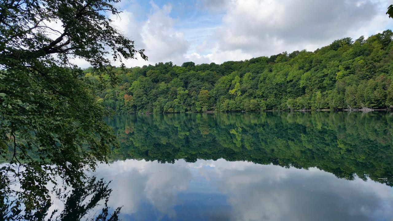
 Round Lake in late summer, the park's second meromictic lake and a National Natural Landmark courtesy of DASonnenfeld↗ (CC BY-SA 4.0↗)
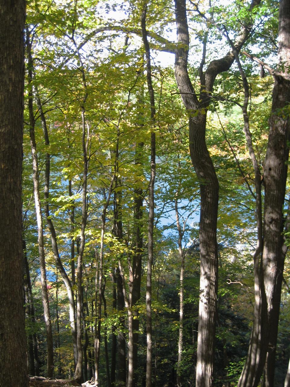
 Looking down on Round Lake through old growth forest from the escarpment trail courtesy of Easchiff↗ (CC BY-SA 3.0↗)
 The cliffs above Round Lake, walls of a meltwater plunge basin cut at the end of the last ice age courtesy of Matthew T. Bradley from USA↗ (CC BY-SA 2.0↗)
Other Swimming Holes, Hiking Trails, Canoeing Areas, and Kayaking Areas Nearby
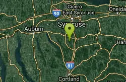
Rattlesnake Gulf
Utica-Rome, NY, New York
16.9 miles SWCLOSED. This is now private property with No Trespassing posted. A 2-mile round-trip hike to a 25-foot waterfall with a swimming hole at the base — expect downed trees, slippery rocks, and a small day-use fee at this seasonal Upstate New York spot.
Swim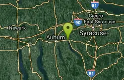
Skaneateles
Skaneateles, New York
24.8 miles WSwim near Skaneateles, New York
Swim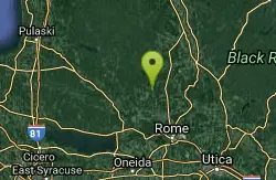
Point Rock
Utica-Rome, NY, New York
30.7 miles NESwim near Utica-Rome, NY, New York
Swim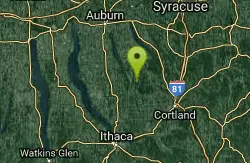
Fillmore Glen State Park
Moravia, New York
32.7 miles SWA charming dam-formed swimming area at Fillmore Glen State Park near Moravia, New York — 6-to-7 feet deep with lifeguards, a jumping spot (no diving), grassy sunning area, and stairs to the water. $7 per car, or walk in free.
Swim
Salmon River Falls
Salamanca, New York
34.0 miles NSwim near Salamanca, New York
Swim
Taughannock Falls State Park Beach
Trumansburg, New York
47.8 miles SWLifeguarded Cayuga Lake swim beach at Taughannock Falls State Park, a short walk from the gorge trail to the 215-foot falls, on NY 89 north of Ithaca.
Camp, Hike, Kayak, Swim


