


6 Hiking Trails near Aptos High School Disc Golf Course
first prev 1 next lastShowing Hiking Trails within 50 miles Distance miles of 100 Mariner Way, Aptos, CA 95003, USA City, Zip, or Address
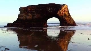
Natural Bridges State Park / Monarch Butterfly Trail
Santa Cruz, California
10.8 miles WA coastal California trail where Monarch butterflies blanket eucalyptus trees from mid-October to mid-February, leading to a sandy beach with a dramatic rock arch and stunning sunsets.
Hike
Garden of Eden
Felton, California
11.3 miles WA popular Santa Cruz Mountains swimming hole with sunny beaches, blue water, and cliffs for jumping — multiple pools for all ages, with no campfires allowed in the area.
Hike, Swim
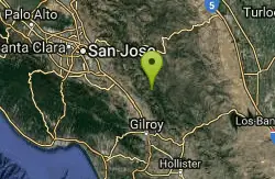
Henry Coe State Park Campground
Morgan Hill, California
22.6 miles NEA wild wilderness state park near Morgan Hill with spectacular spring wildflowers, year-round camping, creeks, ponds, fishing, and miles of hiking and biking on dirt roads and trails.
Camp, Hike, Horseback, Mountain Bike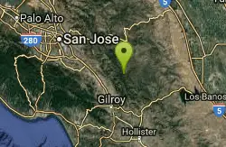
China Hole
Morgan Hill, California
24.3 miles NEA moderately strenuous hike to a historic mineral springs resort site and, a mile farther, China Hole — a 20-foot-wide, 7-to-8-foot-deep natural pool with a small sandy beach and flat boulders.
Camp, Hike, Swim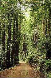
Pescadero Creek Trail Area
Loma Mar, California
31.1 miles NWShady interconnected trails weave through redwoods, ridges, and rolling valleys linking four parks in the Santa Cruz Mountains — a cool escape just an hour from the Bay Area.
Hike, Horseback, Mountain Bike, Swim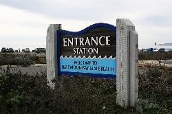
Half Moon Bay State Beach
Half Moon Bay, California
46.6 miles NWA historic railroad corridor trail along the Half Moon Bay Pacific Coast with sweeping ocean views, access to multiple beaches, red-tailed hawks, herons, and a distant view of the famous Mavericks surf break.
Camp, Hike, Horseback, Swim


