


6 Hiking Trails near Mount Pisgah
first prev 1 next lastShowing Hiking Trails within 50 miles Distance miles of Mount Pisgah near Eugene, Oregon City, Zip, or Address
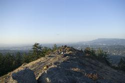
Spencer Butte
Eugene, Oregon
6.0 miles WEugene's backyard hike through tall Douglas firs and maples to a summit with city views — a family-friendly loop with trails from easy to moderate.
Hike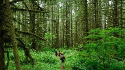
Shotgun Creek Recreation Site
Marcola
16.7 miles NEBLM day-use park on Shotgun Creek north of Marcola with a small seasonal creek swimming area, picnic lawns and forest trails. $5 per vehicle.
Hike, Swim
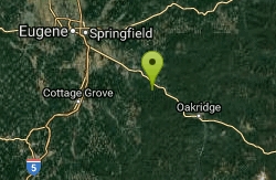
Eagle Rest
Lowell, Oregon
18.5 miles SEA historic one-car viewpoint on the Historic Columbia River Highway designed by Samuel Lancaster, now rebuilt as part of a trail — once famous for watching early Bonneville Dam construction.
Canoe, Hike, Mountain Bike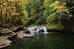
Lake Creek Falls
Blachly
31.2 miles WA three-tier bedrock cascade on Lake Creek half a mile below Triangle Lake, where BLM's free day use area draws summer swimmers to a natural rock slide and plunge pool. No lifeguard, no fee, and a real record of falls off the slick rock.
Hike, Swim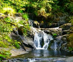
Beaver Creek Falls
Mapleton, Oregon
45.6 miles WA rare Columbia County waterfall hike with scenic Beaver Creek canyon, historic 1918 bridges, and preserved wood guardrails along a classic stretch of old Highway 30.
Hike 1.9 mi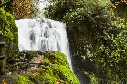
Sweet Creek Falls
Mapleton, Oregon
46.0 miles WEleven waterfalls in a Coast Range valley, each framed by mossy rocks, ferns, and a canopy of Douglas fir — with bridges, metal walkways, and seasonal salamander and crayfish hunting.
Hike


