


44 Hiking Trails near Ten Lakes
first prev 1 2 3 next lastShowing Hiking Trails within 50 miles Distance miles of 8592WF2H+HF City, Zip, or Address
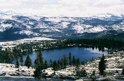
May Lake
Yosemite Valley, Yosemite National Park
4.0 miles SA 2.5-mile roundtrip hike to a scenic 9,270-foot lake at the base of Mt. Hoffmann — with views of Clouds Rest, Half Dome, and Teyana Lake, plus the option to summit the peak for even grander panoramas.
Hike, Swim 6.1 mi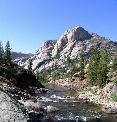
Glen Aulin
Wawona, California
5.6 miles EAn 11-mile hike along the Tuolumne River to Glen Aulin with 800 feet of gain, passing Tuolumne Falls, Soda Springs, wildflower meadows, and the stunning White Cascade.
Backpack, Camp, Hike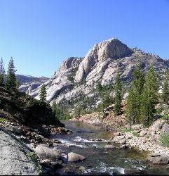
Glen Aulin
Glen Aulin, California
5.6 miles EA popular introductory Yosemite High Country backcountry hike following the Tuolumne River to a High Sierra Camp beside the White Cascade waterfall, with further options to Waterwheel Falls.
Backpack, Camp, Hike, Swim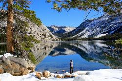
Tenaya Lake
Yosemite Valley, Yosemite National Park
5.7 miles SETenaya Lake's glacier-carved granite shoreline offers a spacious east-beach for swimming, canoeing, and kayaking with stunning Yosemite dome views all around.
Canoe, Hike, Kayak, Swim 0.7 mi
Lukens Lake
Tuolumne Meadows, Yosemite National Park
6.2 miles SWA short 1.6-mile forest walk to a secluded lake famous for the luminescent shooting stars visible while you swim, plus a wildflower meadow that peaks in July.
Hike, Swim 0.9-3.2 mi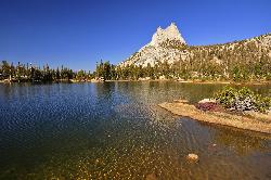
Cathedral Lakes
Wawona, California
6.6 miles SEA gorgeous 7-mile High Sierra hike along the John Muir Trail to twin lakes at 10,000 feet, framed by Cathedral, Echo, and Tressider Peaks with sweeping views of Tenaya Lake from a rock shelf.
Hike, Swim
Harden Lake
Big Oak Flat, Yosemite National Park
7.3 miles WA long but gentle 5.8-mile walk down old Tioga Road through granite domes and red fir forest to a serene lake ringed by wildflowers — with optional extension to the Grand Canyon of the Tuolumne.
Backpack, Hike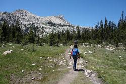
Elizabeth Lake
Wawona, California
9.1 miles SEA 4.8-mile hike with a 1,000-foot gain to a quiet alpine lake tucked between Cockscomb, Unicorn Peak, and Johnson's Peak in Yosemite's Tuolumne Meadows backcountry.
Hike, Swim 2.1 mi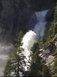
Snow Creek Falls
Yosemite Valley, Yosemite National Park
9.4 miles SA 2,140-foot, seven-drop cascade tucked deep in Tenaya Canyon — best spotted from the Mirror Lake Loop, where you can also take a swim before hunting for the falls from the Snow Creek Trail junction.
Backpack, Hike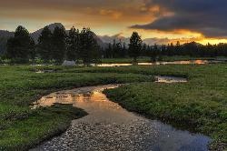
Tuolumne Meadows
Tuolumne County, California
9.7 miles EA stunning alpine meadow in the high Sierra with granite domes and mountain views, the meandering Tuolumne River, and access to Yosemite backcountry — open summer only when the park road is clear.
Camp, Hike 0.8-4.1 mi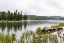
Dog Lake and Lembert Dome
Yosemite Valley, CA
9.9 miles EA 4-mile round-trip hike through Tuolumne Meadows wildflowers to a serene evergreen lake and a granite dome with sweeping views — doable in 1.5 to 3 hours.
Hike, Swim 4.1 mi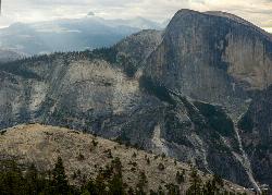
North Dome
Yosemite Valley, Yosemite National Park
10.2 miles SA strenuous 10.4-mile hike through Yosemite forest to North Dome, rewarding hikers with the best straight-on view of Half Dome from 7,450 feet — plus a 0.6-mile detour to a 15-foot granite arch.
Backpack, Hike 2.9 mi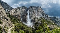
Upper Yosemite Falls
Yosemite Valley, Yosemite National Park
10.7 miles SThe tallest waterfall in North America at 2,425 feet — a 7.2-mile, 2,600-ft-gain hike to the top of Upper Yosemite Falls with stunning valley views along the way.
Hike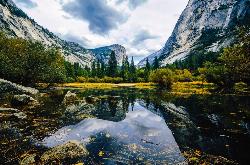
Mirror Lake
Yosemite Valley, Yosemite National Park
10.7 miles SA paved, car-free trail winds to this seasonal lake at the base of Half Dome, offering a still mirror reflection and a popular summer swimming hole.
Backpack, Hike, Swim 1.9 mi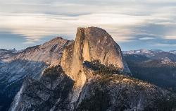
Half Dome
Yosemite Valley, Yosemite National Park
10.8 miles SA grueling 14-mile round-trip hike with 4,800 feet of gain to the summit of Half Dome, including a cable section in the final 400 feet — a permit is required and a sunrise start is essential.
Hike 0.8 mi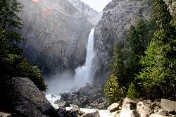
Lower Yosemite Falls
Yosemite Valley, Yosemite National Park
11.5 miles SA short, flat walk to the base of a 3,967-foot waterfall — twice the height of the Empire State Building and one of North America's tallest, best visited in spring or early summer before it dries.
Hike 0.7 mi
Cook's Meadow Loop
Yosemite Valley, Yosemite National Park
11.5 miles SA nearly 1-mile, nearly flat loop in Sentinel Meadow with close-up views of Yosemite Falls, Half Dome, Glacier Point, and Sentinel Rock — Yosemite's best easy walk.
Hike 1.9-2.9 mi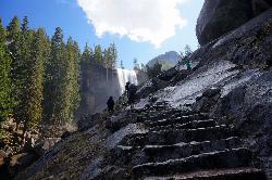
Mist Trail
Yosemite National Park
11.8 miles SA steep, mist-soaked Yosemite staircase hike climbing 639 stone steps past Vernal and Nevada Falls — with Half Dome, Whitecap, and Mt. Broderick views from the switchbacks above.
Backpack, Hike 4.6 mi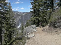
Four Mile Trail
Yosemite National Park
12.2 miles SA 4.7-mile one-way hike connecting Yosemite Valley to Glacier Point with views of Yosemite Falls, Half Dome, El Capitan, and the Royal Arches — best visited in spring when the falls run full.
Hike 3.6 mi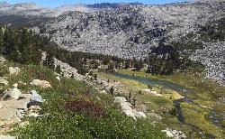
Lyell Canyon
Wawona, California
12.3 miles EAn 8-mile, nearly flat hike through Yosemite's Tuolumne Meadows along the Lyell Fork river, with creek crossings, Kuna Creek cascades, and backcountry quiet far from the crowds.
Hike


