


12 Hiking Trails near Upper Goose Pond
first prev 1 next lastShowing Hiking Trails within 50 miles Distance miles of Upper Goose Pond near Lee, Massachusetts City, Zip, or Address
Lake Mansfield Beach
Great Barrington
11.6 miles SWGreat Barrington's free town beach on 29-acre Lake Mansfield, a short walk from downtown, with a sandy swim area, seasonal lifeguards, a picnic lawn and playground, and conservation forest trails.
Canoe, Hike, Kayak, Swim
Burbank Park Beach
Pittsfield
14.1 miles NWPittsfield's free public swimming beach on Onota Lake, inside Burbank Park on Lakeway Drive, with a bath house, boat launch and lakeside path. Lifeguards are not hired every season, so check before you swim.
Canoe, Hike, Kayak, Swim
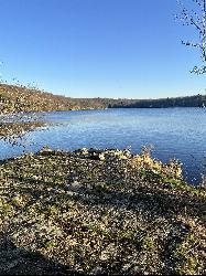
Lake Taghkanic State Park
Ancram
31.3 miles SWWest Beach at Lake Taghkanic State Park is a lifeguarded sand beach on a clear 168-acre lake off the Taconic Parkway near Ancram. Summer entry is $10 per car.
Camp, Canoe, Hike, Kayak, Swim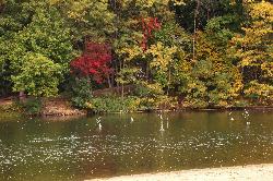
Oakdale Beach
Hudson
31.4 miles WA small city-run sand beach on spring-fed Oakdale Lake in Hudson's Oakdale Park. Free and open to the public, with swimming allowed only when lifeguards are on duty in summer.
Hike, Swim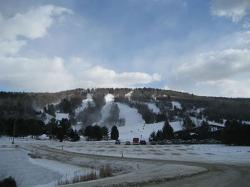
Mohawk Mountain State Park
Cornwall, Connecticut
31.9 miles SA 15-mile backcountry route of logging roads and singletrack climbing to the top of Mohawk Mountain, with trail junctions, river sections, and cross-country ski terrain.
Cross-country Ski, Hike, Mountain Bike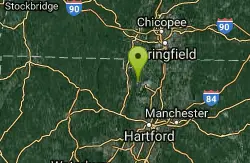
Metacomet Trail
East Granby, Connecticut
32.0 miles SEA 62.7-mile Blue-Blazed trail along Connecticut's Metacomet Ridge — part of the New England National Scenic Trail — open to hikers, backpackers, bikers, horseback riders, and in winter, snowshoers.
Hike, Mountain Bike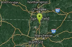
Windsor Locks Canal Trail
Suffield, Connecticut
35.4 miles SEA 4.5-mile towpath trail along a 170-year-old historic canal with scenic vistas of both the Connecticut River and the old waterway itself.
Hike, Mountain Bike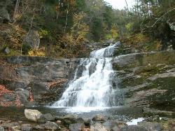
Kent Falls State Park
Kent, Connecticut
37.3 miles SA scenic waterfall park in Kent, Connecticut where the lot fills fast on summer weekends — arrive early; the park closes to new visitors once the lot reaches capacity.
Hike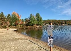
Lake Wyola State Park
Shutesbury
40.3 miles EDCR's Carroll A. Holmes Recreation Area has a lifeguarded sand beach on the northwest shore of quiet Lake Wyola in Shutesbury, with a seasonal $8 (MA) or $30 (out-of-state) parking fee.
Canoe, Hike, Kayak, Swim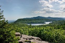
South Lake Swimming Area
Haines Falls
45.2 miles WSouth Lake is the western basin of New York's North-South Lake, up on the Catskill Escarpment above Haines Falls, with a rebuilt sand beach, boat rentals and a boardwalk to the water. DEC charges $10 per vehicle at the gate in season.
Camp, Canoe, Hike, Kayak, Swim 0.4 mi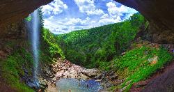
Kaaterskill Fall
Hunter, New York
46.3 miles WKaaterskill Falls is one of the most storied waterfalls in the eastern United States — a spectacular two-tiered cascade in New York's Catskill Mountains near Hunter that plunges roughly 260...
Hike, Swim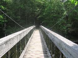
Steep Rock
Washington, Connecticut
48.7 miles SA fun mix of 4x4 singletrack, forest trail, and powerline downhills winding from Judd's Bridge to Steep Rock's pinnacle, with great views and a rough but exciting descent.
Hike, Mountain Bike


