


Lake Wyola State Park
Shutesbury
Canoe, Hike, Kayak, and Swim
Lake Wyola State Park, officially the Carroll A. Holmes Recreation Area, is a 42-acre day-use park on the northwest shore of Lake Wyola in Shutesbury, Massachusetts, run by the Department of Conservation and Recreation (DCR). The state bought the property in 1997 and named it for Carroll Holmes, a former Shutesbury selectman and regional director at the old Department of Environmental Management. Lake Wyola itself covers about 128 acres. It was roughly half that size until an 1883 dam on the Sawmill River raised the water, and that dam, a short walk from the beach, was rebuilt in 2008 and 2009.
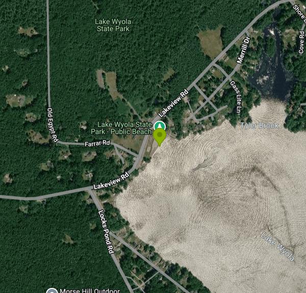
The entrance is at 94 Lakeview Road in the Locks Village corner of Shutesbury, about a half-hour drive north of Amherst on two-lane country roads. There is no public transit, so plan on driving. The main lot sits just above the beach; if you want a beach wheelchair, park in the main lot, where the chairs are lent out and a mat runs down the sand into the water. A second, smaller area by the bathhouse connects to a boardwalk with a lake view and a fishing spot. Weekend afternoons in July can fill the lot, so arriving early helps.
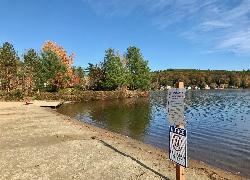
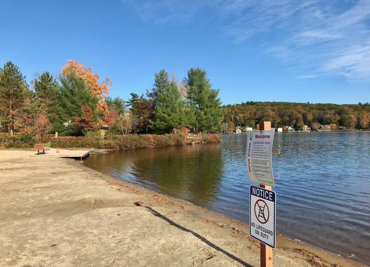
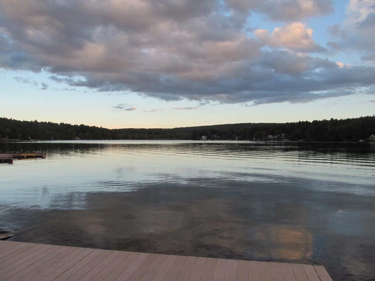
The swim beach is a short stretch of sand facing southeast across the lake toward the wooded hills and cottages of the far shore. The water is calm, motorboats are few, and the lake is known locally for clear water. DCR posts lifeguards at the beach in summer. Hours from Memorial Day to Labor Day are 9:00 a.m. to 7:30 p.m. every day; the rest of the year the park keeps posted hours, and swimming then is unguarded. DCR's published fee schedule lists a day-use parking fee of $8 for vehicles with Massachusetts plates and $30 for out-of-state plates, collected from about 9:00 a.m. to 5:30 p.m. until Labor Day, so it is not free in season. Fees apply only during posted fee hours, and the annual state ParksPass covers it.
Bacteria is the main thing to watch. DCR tests the swimming area weekly, and in the summer of 2024 the beach was closed for weeks after Enterococci counts ran over the state limit following heavy rain, with red flags on the sand and staff warning visitors at the gate. Rain-driven closures can return in any wet summer, so check for a posting before you go and believe the red flag if one is up. Cell service around the lake is weak, and there are no stores nearby, so bring what you need.
Beyond the beach the park has a picnic grove with charcoal grills, a volleyball court, a horseshoe pit and restrooms. Paddlers can launch canoes and kayaks here, and the separate public boat launch is at 32 Randall Road. Anglers fish the eastern end of the lake for bass and trout. The New England National Scenic Trail passes just west of the park, and in winter the trails are used for cross-country skiing and snowmobiling. Alcohol is not allowed anywhere in the park.
More Information
Massachusetts' Unsung Lake Escape Has A Sandy Beach, State Park Scenery, And Peaceful Trails
A good lake makes for a good beach day, and buried within central Massachusetts lies one such gem amid state park scenery and peaceful hiking trails.
https://www.islands.com/2137960/lake-wyola-state-park-massachusetts-underrated-escape-sandy-beach-lovely-scenery-peaceful-trails/State beach at Lake Wyola closed to swimming due to high bacteria levels - Daily Hampshire Gazette
SHUTESBURY — Lake Wyola State Park’s beach continues to be closed to swimming this week due to high levels of Enterococci bacteria, with red flags placed on the beach and visitors informed about the situation at both the park entrance and by...
https://www.gazettenet.com/Red-flags-raised-at-Lake-Wyola-State-Park-in-Shutesbury-due-to-high-levels-of-bacteria-in-water-56418504State beach at Lake Wyola closed to swimming due to high bacteria levels - Greenfield Recorder
SHUTESBURY — Lake Wyola State Park’s beach continues to be closed to swimming this week due to high levels of Enterococci bacteria, with red flags placed on the beach and visitors informed about the situation at both the park entrance and by...
https://www.recorder.com/State-beach-at-Lake-Wyola-closed-to-swimming-due-to-high-bacteria-levels-56427276Be courteous, informed, and prepared. Read trailhead guidelines, stay on the trail, and don't feed the wildlife.
Read More
- Plan Ahead and Prepare
- Travel & camp on durable surfaces
- Dispose of waste properly
- Leave what you find
- Minimize campfire impacts
- Respect wildlife
- Be considerate of other visitors
Directions
From Shutesbury
- Head north on Wendell Rd toward Ross Rd (1.8 mi)
- Continue straight onto Locks Pond Rd (1.9 mi)
- Turn right onto Lakeview RdDestination will be on the right(0.2 mi)



Other Swimming Holes, Hiking Trails, Canoeing Areas, and Kayaking Areas Nearby
Puffers Pond
Amherst, Massachusetts
7.4 miles SWSwim near Amherst, Massachusetts
Swim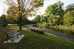
Green River Swimming and Recreation Area
Greenfield
11.7 miles NWGreenfield's municipal swim area on the Green River, where a low dam backs the current into a cold, slow pool with a sand beach, a WPA era bathhouse and lawns full of shade trees.
Swim
Greenfield Area
Southwick, Massachusetts
13.7 miles NWSwim near Southwick, Massachusetts
Swim
Doane Falls
Royalston, Massachusetts
15.5 miles NESwim near Royalston, Massachusetts
Swim
Glacial Potholes
Shelburne Falls, Massachusetts
16.9 miles NWSwim near Shelburne Falls, Massachusetts
Swim
Orange Dam
Northampton, Massachusetts
17.1 miles SWSwim near Northampton, Massachusetts
Swim
Royalston Falls
Royalston, Massachusetts
17.1 miles NESwim near Royalston, Massachusetts
Swim
Lake Dennison Recreation Area
Winchendon
20.1 miles NEA DCR-run state recreation area in Winchendon with a sandy beach on Lake Dennison, a wooded Army Corps lake. Summer parking is $8 for Massachusetts plates and $30 for others.
Camp, Canoe, Hike, Kayak, Swim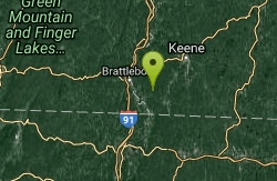
Pisgah State Park
Hinsdale, New Hampshire
21.3 miles NA clothing-optional swimming area at Kilburn Pond inside Pisgah State Park — separate from the park's Pisgah Reservoir, so be sure to head to the right body of water.
Swim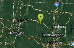
Cummington
Cummington, Massachusetts
22.6 miles WA small, cool pond on the river with a wide sandy beach and a mostly gay social atmosphere — clothing is optional, and parking near Route 9 is limited.
Swim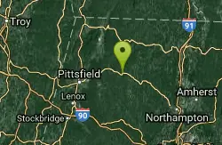
Windsor State Forest
Cummington, Massachusetts
27.9 miles WSwim near Cummington, Massachusetts
Swim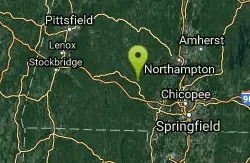
Huntington Area
Granville, Massachusetts
28.8 miles SWSwim near Granville, Massachusetts
Swim
Dean Pond
Monson, Massachusetts
29.1 miles SSwim near Monson, Massachusetts
Swim
Glendale Falls
Chester, Massachusetts
29.2 miles WSwim near Chester, Massachusetts
Swim
Leominster State Forest
Princeton, Massachusetts
29.5 miles EOver 135 acres of surface water across five ponds in Leominster State Forest, with lifeguarded swimming at one pond, plus hiking, biking, and permitted rock climbing. Fees apply.
Swim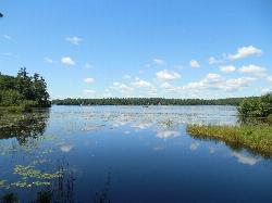
Contoocook Beach
Jaffrey
29.7 miles NEContoocook Beach is the Town of Jaffrey's sand beach on 344-acre Contoocook Lake, with a buoyed swim area, a bathhouse and concession stand, and Mount Monadnock filling the skyline across the water. Swimming is free for everyone, but the parking lot is re
Canoe, Hike, Kayak, Swim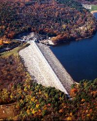
Surry Mountain Lake Beach
Surry
35.1 miles NA free Army Corps of Engineers beach on Surry Mountain Lake, six miles north of Keene, with a long sandy swim area, no lifeguards, and weekly water testing that sometimes brings summer bacteria advisories.
Canoe, Hike, Kayak, Swim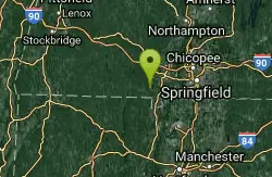
Granville Gorge
Southwick, Massachusetts
35.8 miles SWGranville Gorge is a magical little slice of the southern Berkshire Hills — a lush, green gorge where the Hubbard River carves a series of mini waterfalls and clear swimming holes through the...
Mountain Bike, Swim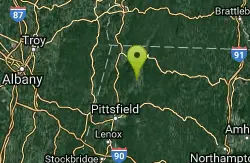
Bellevue Falls
Adams, Massachusetts
35.8 miles WSwim near Adams, Massachusetts
Swim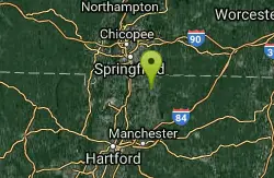
Somersville Mill Pond/Scantic River
Somers, Connecticut
36.1 miles SSomersville Mill Pond and Scantic River is located near Somers, Connecticut. The trail is primarily used for canoeing and is accessible from April until October.
Canoe


