


6 Hiking Trails near Benton, TN 37307
first prev 1 next lastShowing Hiking Trails within 50 miles Distance miles of Benton, TN 37307, USA City, Zip, or Address
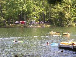
Lake Conasauga Picnic and Swim Site
Chatsworth
21.8 miles SThe highest lake in Georgia, a 19 acre CCC-built lake at 3,150 feet on Grassy Mountain, with a designated swim area and dock on the shore opposite the campground. The campground is closed until further notice after a September 2026 water main break.
Camp, Canoe, Hike, Kayak, Swim 5.6 mi
Emery Creek Trail
Chatsworth, Georgia
25.0 miles STwo beautiful waterfalls and a small swimming hole shine on this 5.9-mile Northern Georgia trail, but plan for multiple creek crossings — water shoes are a must.
Hike
Baby Falls
Tellico Plains, Tennessee
28.9 miles EA Tellico River waterfall and swimming hole that's beginner-friendly for kayakers, beautiful for hikers, and especially stunning in fall for picnics and photography.
Hike, Kayak, Swim, Whitewater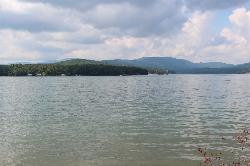
Morganton Point Recreation Area
Morganton, Georgia
31.0 miles SEForest Service swim beach, campground and boat ramp on a wooded point jutting into Lake Blue Ridge, two miles from the town of Morganton.
Camp, Canoe, Hike, Kayak, Swim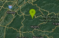
Davis Branch
Tellico Plains, Tennessee
32.2 miles EA riverside campground on the Tellico River with six campsites, each with a picnic table — a peaceful Tennessee base camp for hiking, fishing, and campfire nights.
Camp, Hike, Swim
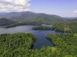
Cheoah Point Beach
Robbinsville
46.3 miles EForest Service swim beach with a roped swim area on Santeetlah Lake, 6 miles north of Robbinsville, NC. Open April 15 to October 31 with a $5 per vehicle day-use fee.
Camp, Canoe, Hike, Kayak, Swim


