


Morganton Point Recreation Area
Morganton, Georgia
Camp, Canoe, Hike, Kayak, and Swim
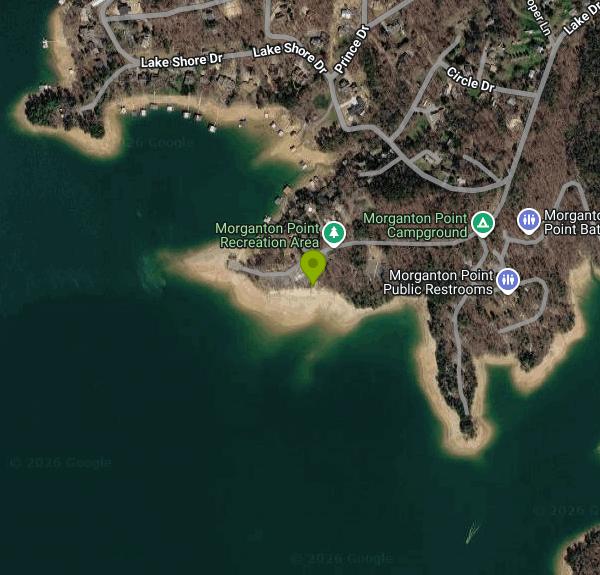
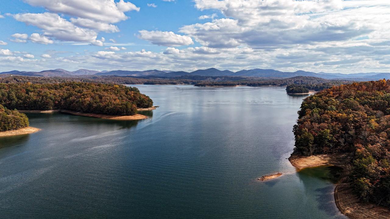
Morganton Point sits on a small peninsula that pushes out into the north arm of Lake Blue Ridge, about two miles southwest of the town of Morganton on Lake Drive. The Forest Service runs it as a developed recreation area inside the Blue Ridge Ranger District of the Chattahoochee National Forest, and the layout is simple: a gravel and sand swim beach on the sheltered north side of the point, a paved boat ramp, a picnic area under the pines, and a campground of roughly forty sites spread along the shoreline loop. Almost the entire far shore you look at from the beach is national forest, which is the reason the view has no houses in it.
The water here is unusually clear for a southern reservoir. Lake Blue Ridge is fed by the Toccoa River coming down out of the high country near Suches, and the lake sits at about 1,690 feet, deep and cold enough at the bottom that the surface rarely goes murky. Swimming is unsupervised, with no lifeguards and no marked lane lines, and the bottom drops away fairly quickly a few yards out from the beach, so it is not a wade-forever shallow. By late July the top few feet warm into the low 80s. Morning is the best time to swim if you want flat water, because the ski boats and pontoons come out of the Morganton and Lake Blue Ridge Marina ramps by mid-morning and the lake gets choppy.
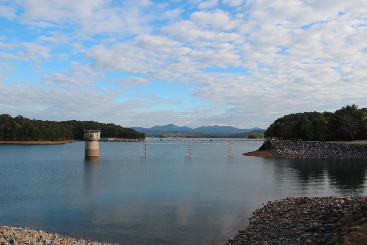
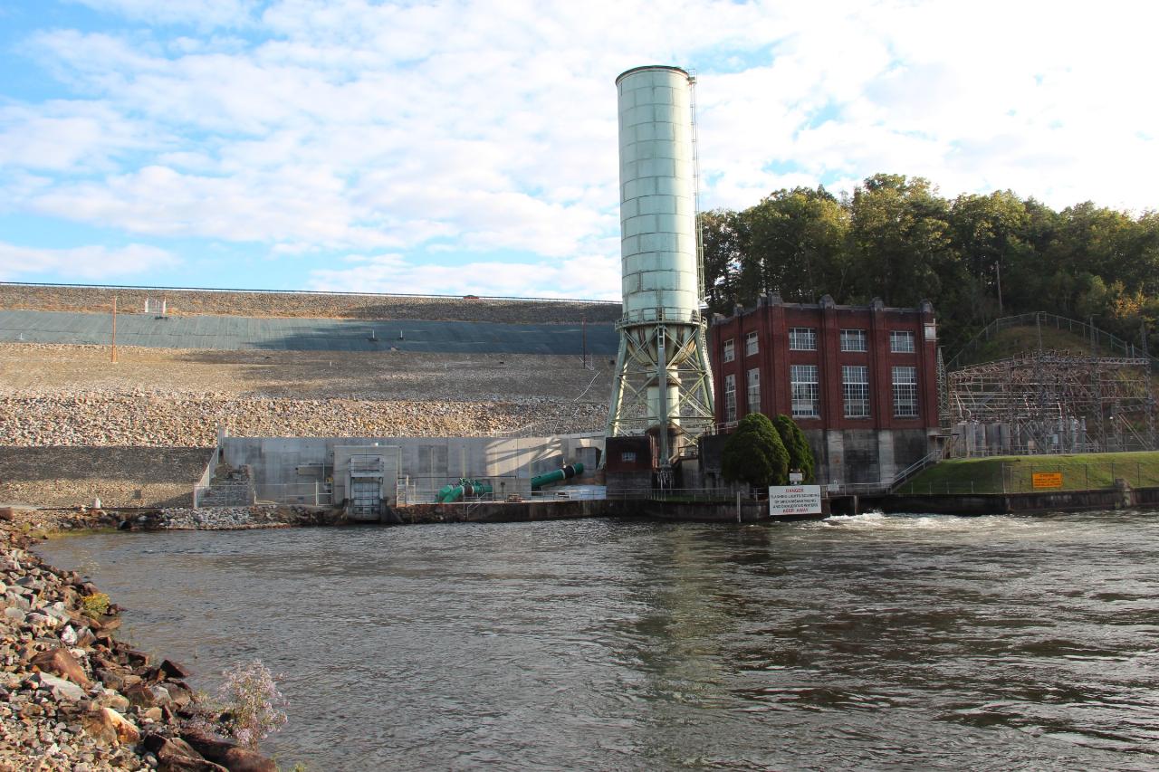
The dam at the south end of the lake was finished in 1930 by the Toccoa Electric Power Company and taken over by TVA in 1939. It is a concrete gravity structure about 167 feet high, and it backs the Toccoa up into roughly 3,290 acres of water with 65 miles of shoreline. TVA draws the lake down in fall and winter for flood storage, which pulls the waterline well back from the beach between November and March. The reservoir usually refills to summer pool by Memorial Day.
The campground season generally runs from late April into October and sites are booked through recreation.gov. There is a day-use parking fee at the beach and a nightly fee for camping, both collected by the concessionaire that operates the site for the Forest Service. Facilities are basic but maintained: vault and flush toilets, drinking water, grills and tables, and a small swim beach bathhouse. A paddleboard and kayak rental operates out of the day-use area in summer.
Paddling is the quieter way to use this lake. From the ramp you can follow the shoreline north and east into a series of forested coves that the wakeboard traffic mostly ignores, and the Toccoa River arm at the far end is shallow and slow. On land, the town of Blue Ridge is eight miles southwest with the scenic railway depot and a walkable main street, and the Benton MacKaye and Appalachian trails cross the Toccoa on the swinging bridge north of the lake.
More Information
Be courteous, informed, and prepared. Read trailhead guidelines, stay on the trail, and don't feed the wildlife.
Read More
- Plan Ahead and Prepare
- Travel & camp on durable surfaces
- Dispose of waste properly
- Leave what you find
- Minimize campfire impacts
- Respect wildlife
- Be considerate of other visitors
Directions
From Morganton, Georgia
- Head east on Fain Dr toward Old Hwy 76/
Old U.S. 76 (213 ft) - Turn right onto Old Hwy 76/
Old U.S. 76 (0.2 mi) - Turn right onto Bypass Rd (20 ft)
- Turn left to stay on Bypass Rd (177 ft)
- Turn right onto Lake Dr (0.4 mi)
- Continue straight to stay on Lake DrDestination will be on the left(0.3 mi)
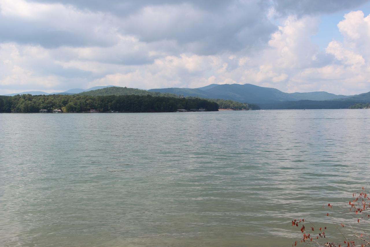
 Lake Blue Ridge looking out from Morganton Point, with the forested far shore and distant ridges courtesy of Thomson200↗ (CC0↗)
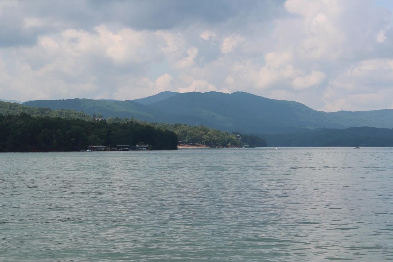
 The lake and its wooded ridge line, with docks along the shore courtesy of Thomson20192↗ (CC BY 2.0↗)
 An autumn cove on Lake Blue Ridge courtesy of Stephen Rahn from Acworth, GA, USA↗ (CC0↗)
 The intake tower and riprap bank at the lower end of the reservoir courtesy of Thomson200↗ (CC0↗)
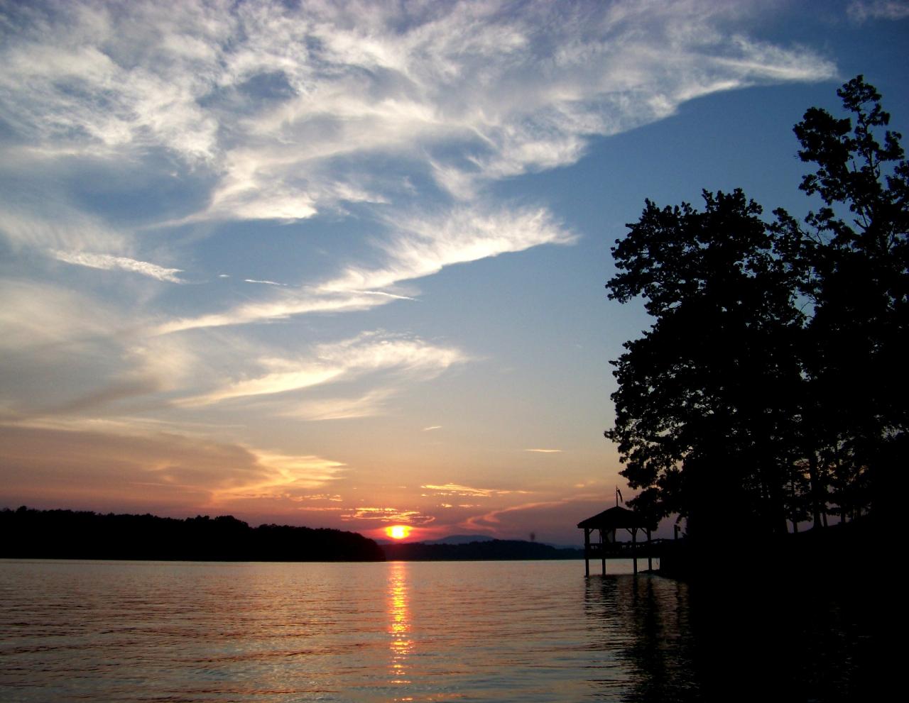
 Sunset over the lake with a shelter silhouetted on the bank courtesy of Idawriter↗ (CC BY-SA 3.0↗)
 The red brick TVA powerhouse and surge tank at Blue Ridge Dam courtesy of Thomson M↗ (CC BY 3.0↗)
Other Swimming Holes, Hiking Trails, Canoeing Areas, and Kayaking Areas Nearby
Chattahoochee National Park
Cave Spring, Georgia
11.0 miles SESwim near Cave Spring, Georgia
Swim
Blue Hole Ocoee
Turtletown, Tennessee
18.1 miles NWNumerous swimming holes 10-to-15 feet deep with tunnels to swim through, cliff jumping, and snorkeling in crystal-clear water — a great family adventure on the Ocoee.
Swim
Vogle State Park
Blairsville, Georgia
20.1 miles EA 233-acre park at the base of Blood Mountain in the Chattahoochee National Forest — one of Georgia's first state parks, founded in 1931.
Camp, Canoe, Swim 5.6 mi
Emery Creek Trail
Chatsworth, Georgia
23.0 miles WTwo beautiful waterfalls and a small swimming hole shine on this 5.9-mile Northern Georgia trail, but plan for multiple creek crossings — water shoes are a must.
Hike 0.8 mi
Holly Creek Picnic Area
Chatsworth, Georgia
23.2 miles WA scenic North Georgia picnic and swimming spot with a shallow creek hole, easy rock jumps, and kayaking nearby.
Canoe, Kayak, Swim
Conasauga Area
Soddy-Daisy, Tennessee
23.6 miles WSwim near Soddy-Daisy, Tennessee
Swim
Fires Creek Area
Wake Forest, North Carolina
27.2 miles NESwim near Wake Forest, North Carolina
Swim
Davis Branch
Tellico Plains, Tennessee
29.7 miles NA riverside campground on the Tellico River with six campsites, each with a picnic table — a peaceful Tennessee base camp for hiking, fishing, and campfire nights.
Camp, Hike, Swim
Hiwassee
Benton, Tennessee
30.3 miles NWSwim near Benton, Tennessee
Swim 2.4 mi
Edge Of The World
Dawsonville, Georgia
30.7 miles SA scenic 3-mile hike along the Amicalola River to a family-friendly swimming hole and small waterfall near Atlanta.
Hike, Swim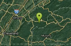
Baby Falls Area
Tellico Plains, Tennessee
31.9 miles NSwim near Tellico Plains, Tennessee
Swim
Baby Falls
Tellico Plains, Tennessee
32.0 miles NA Tellico River waterfall and swimming hole that's beginner-friendly for kayakers, beautiful for hikers, and especially stunning in fall for picnics and photography.
Hike, Kayak, Swim, Whitewater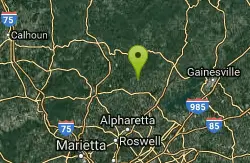
Pooles Mill
Ball Ground, Georgia
39.9 miles SSwim near Ball Ground, Georgia
Swim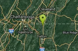
Farmers Lake
Cohutta, Georgia
40.2 miles WSwim near Cohutta, Georgia
Swim
Queens Creek Lake
Nantahala, North Carolina
44.1 miles NEA secluded reservoir in the Nantahala mountains with mountain reflections on still water, quality trout fishing, swimming on warm days, and a scenic drive up Winding Stairs Road.
Swim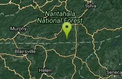
Big Laurel Falls
Otto, North Carolina
44.4 miles ESwim near Otto, North Carolina
Swim
Boone Area
Otto, North Carolina
44.4 miles ESwim near Otto, North Carolina
Swim
Tallulah Falls Lake Beach (Terrora Day Use Area)
Tallulah Falls, Georgia
49.3 miles ESand swim beach on 63-acre Tallulah Falls Lake at Tallulah Gorge State Park's Terrora Day Use Area, with the gorge rim trails, suspension bridge and campground next door.
Camp, Hike, Kayak, Mountain Bike, SwimNearby Campsites
Vogle State Park
Blairsville, Georgia
20.1 miles EA 233-acre park at the base of Blood Mountain in the Chattahoochee National Forest — one of Georgia's first state parks, founded in 1931.
Camp, Canoe, Swim
Davis Branch
Tellico Plains, Tennessee
29.7 miles NA riverside campground on the Tellico River with six campsites, each with a picnic table — a peaceful Tennessee base camp for hiking, fishing, and campfire nights.
Camp, Hike, Swim
Tallulah Falls Lake Beach (Terrora Day Use Area)
Tallulah Falls, Georgia
49.3 miles ESand swim beach on 63-acre Tallulah Falls Lake at Tallulah Gorge State Park's Terrora Day Use Area, with the gorge rim trails, suspension bridge and campground next door.
Camp, Hike, Kayak, Mountain Bike, Swim


