


Lake Conasauga Picnic and Swim Site
Chatsworth
Camp, Canoe, Hike, Kayak, and Swim
Closure first: the Forest Service closed Lake Conasauga Campground until further notice on September 23, 2026, after a water main break in the site's aging public water system left it unable to provide flushable toilets or safe drinking water under state and federal guidelines. The Conasauga Ranger District has not posted a separate closure notice for the picnic and swim site across the lake, but the same failed water system serves the restrooms there, so call the district at 706-695-6736 before making the drive. A second complication sits on the approach. The first unpaved half mile of Old CCC Camp Road, also signed as Forest Service Road 18, is closed to through traffic from September 8 into November while paving crews work the stretch that runs alongside Holly Creek.
What all of that guards is a 19 acre lake sitting at 3,150 feet on the shoulder of Grassy Mountain in Murray County, the highest lake in Georgia. The Civilian Conservation Corps finished building it in 1940, and the name comes from a Cherokee word meaning grass. This is Lake Conasauga the lake, a small spring fed impoundment at the head of Mill Creek. It is not the Conasauga River, a separate and far better known waterway down in the valley with its own swimming spots and its own Forest Service sites. The recreation area also sits outside the Cohutta Wilderness boundary, so the stricter wilderness rules that govern trails like Rough Ridge do not apply at the lake itself.
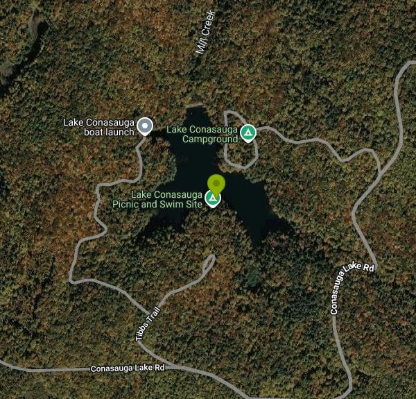
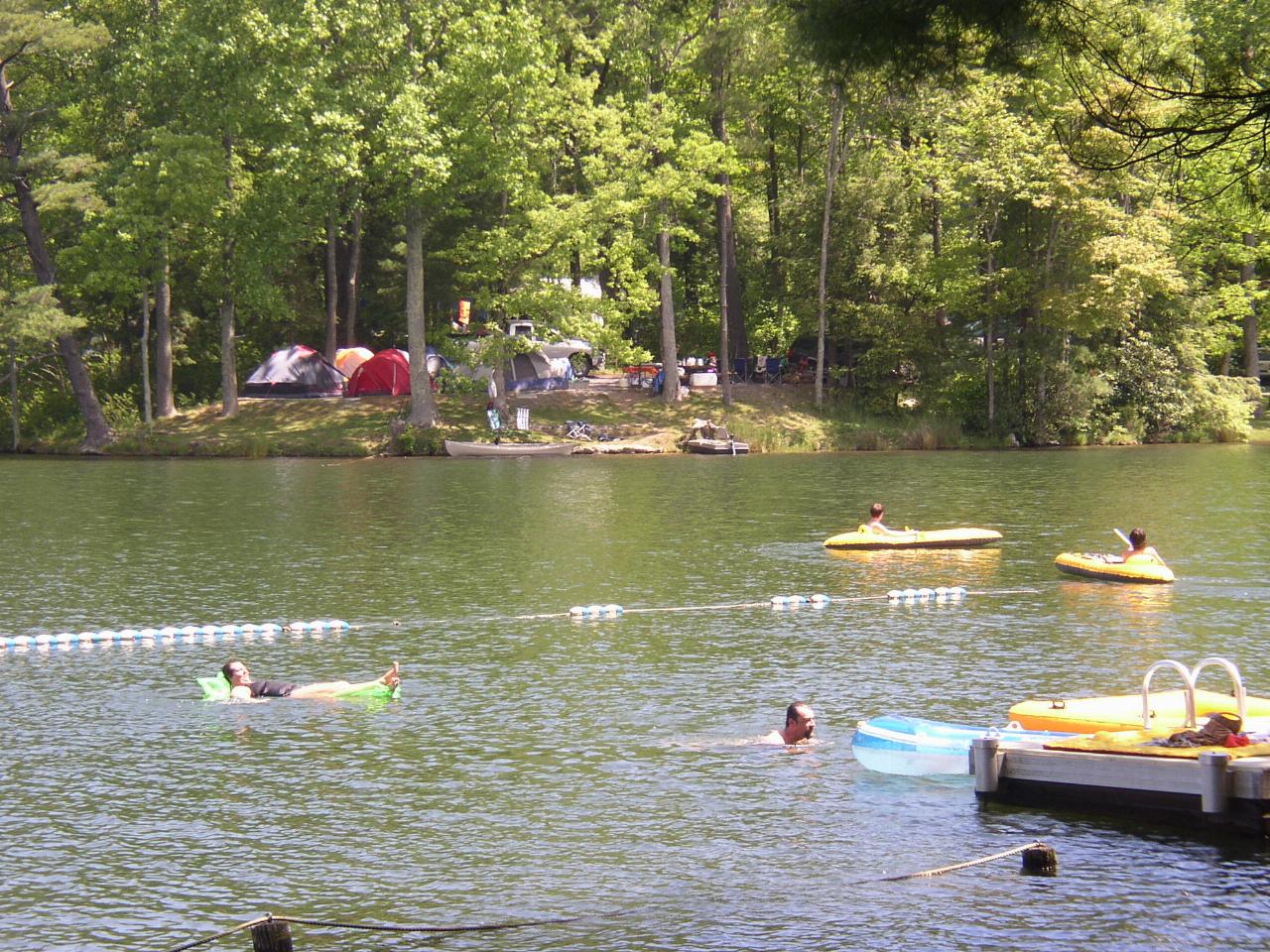
Swimming here is a designated setup rather than a scramble down a bank. The picnic and swim area occupies the shore opposite the campground and includes a shelter, tables, and a swimming dock that puts you straight into cold spring water. No lifeguard works the site. The water stays genuinely cold deep into summer because of the elevation, which is most of the appeal in a Georgia July, and the lake is small enough that you can see the far bank from the dock.
The Forest Service charges a day use fee at what it lists as the Lake Conasauga Recreation Area Family Picnic and Swimming Area. The forest does not publish an exact figure for this particular site and states only that single day use fees across the Chattahoochee-Oconee range from $3 to $15 or more. The $25 Chattahoochee-Oconee National Forests Annual Pass is valid here and covers day use at the listed fee sites, Lake Conasauga among them. An America the Beautiful Interagency pass is accepted at Lake Conasauga, but read what the forest actually says about it: that pass entitles the holder to a 50 percent discount on camping at one campsite, and the forest states plainly that the National Forest Annual Pass is a different pass from the Interagency pass. Do not assume an Interagency pass erases the day use charge.
Getting there is the other half of the story, because every approach finishes on gravel Forest Service road. From Chatsworth the route runs north on U.S. 411 about three miles to Eton, then right onto Old CCC Camp Road, onto Forest Service Road 18, and up to Forest Service Road 68 for the last four or five miles. From Ellijay the approach uses GA 52 to Gates Chapel Road, then Forest Service Road 90 to the stop sign and right onto FSR 68. Trailers over 15 feet are not recommended on Forest Service Roads 630 and 17 because of sharp curves and steep grades, and visitors towing travel trailers are directed to come in from the Ellijay side. The posted season runs from mid April through October 31, with openings sometimes pushed later by water line problems. Forest Roads 68 and 17 shut for the winter, roughly early January into mid March, because the freeze and thaw cycle at this elevation turns the roadbed soft and rutted. Bears are active around the lake and the district puts real emphasis on food storage.
More Information
Chattahoochee-Oconee National Forest | Alerts | Forest Service
Please visit this page for current closures and advisorie...
https://www.fs.usda.gov/r08/chattahoochee-oconee/alertsChattahoochee-Oconee National Forest | Be Bear-Aware! | Forest Service
Camping season is bear-aware season. It's crucial to store food and scented items properly and know what to do if you encounter a bear. Bears are curious, hungry, and have a keen sense of smell, so they are attracted to food, toothpaste, soap, and shampoo. To reduce the odds of having a bear encounter, at developed campgrounds, keep food and scented items stored in coolers in vehicles and never leave food out for long periods of time. Hikers are strongly encouraged, and in some parts of the forest are required, to use bear resistant containers.
https://www.fs.usda.gov/r08/chattahoochee-oconee/alerts/be-bear-awareChattahoochee-Oconee National Forest | Lake Conasauga Campground Temporarily Closed | Forest Service
Due to an aging public water system, a water main break has occurred in the Lake Conasauga campground. This break causes a public health and safety concern due to the inability to provide flushable toilets and safe drinking water in accordance with State and Federal guidelines. Out of an abundance of caution and under the guidance of the Georgia Department of Natural Resources Environmental Protection Division, the Lake Conasauga Campground will be closed until further notice. We apologize for the inconvenience.
https://www.fs.usda.gov/r08/chattahoochee-oconee/alerts/lake-conasauga-campground-temporarily-closedChattahoochee-Oconee National Forest | Lake Conasauga | Forest Service
This beautiful 19-acre spring-fed lake resting near Grassy Mountain is the highest lake in Georgia. Families will enjoy camping in this quiet, rustic setting which offers cool summertime temperatures. Whether hiking to the Songbird Management area or to Grassy Mountain tower, fishing, or swimming, you will revel in this area rich in plants, birds and wildlife. Note: cell service is limited due to remoteness.
https://www.fs.usda.gov/r08/chattahoochee-oconee/recreation/lake-conasaugaChattahoochee-Oconee National Forest | Old CCC Camp Road / Forest Service Road 18 – Temporary Closur
Road paving crews will be working through November to pave the section of roadway that runs directly alongside Holly Creek. This project will help reduce ongoing erosion and protect water quality in one of the state’s most important aquatic habitats.
https://www.fs.usda.gov/r08/chattahoochee-oconee/alerts/old-ccc-camp-road-forest-service-road-18-temporary-closureChattahoochee-Oconee National Forest | Passes | Forest Service
When you are ready to recreate on your national forests and grasslands, determine if your plans require a recreation fee and what types of passes are available. Many recreation sites and activities on the Chattahoochee-Oconee National Forests do not require a fee at all. No matter where you are going on federal public lands, take advantage of the type of pass that will work best for you.
https://www.fs.usda.gov/r08/chattahoochee-oconee/passesChattahoochee-Oconee National Forest | Rough Ridge Trail 12 closed (Cohutta Wilderness) | Forest Ser
The Rough Ridge Trail (#12) in the Cohutta Wilderness (Conasauga Ranger District) is temporarily closed for public safety.
https://www.fs.usda.gov/r08/chattahoochee-oconee/alerts/rough-ridge-trail-12-closed-cohutta-wildernessLake Conasauga Campground, Chattahoochee-Oconee National Forest - Recreation.gov
Explore Lake Conasauga Campground in Chattahoochee-Oconee National Forest, Georgia with Recreation.gov. The Lake Conasauga Recreation Area is a remote recreation area located within the Chattahoochee National Forest in northwest Georgia. Getting to Lake Conasauga
https://www.recreation.gov/camping/campgrounds/10218892Be courteous, informed, and prepared. Read trailhead guidelines, stay on the trail, and don't feed the wildlife.
Read More
- Plan Ahead and Prepare
- Travel & camp on durable surfaces
- Dispose of waste properly
- Leave what you find
- Minimize campfire impacts
- Respect wildlife
- Be considerate of other visitors
Directions
- Get directions on Google Maps
 Swimmers and the floating dock at the Lake Conasauga swim area, with the campground shore beyond. courtesy of ChattOconeeNF↗ (CC BY 2.0↗)
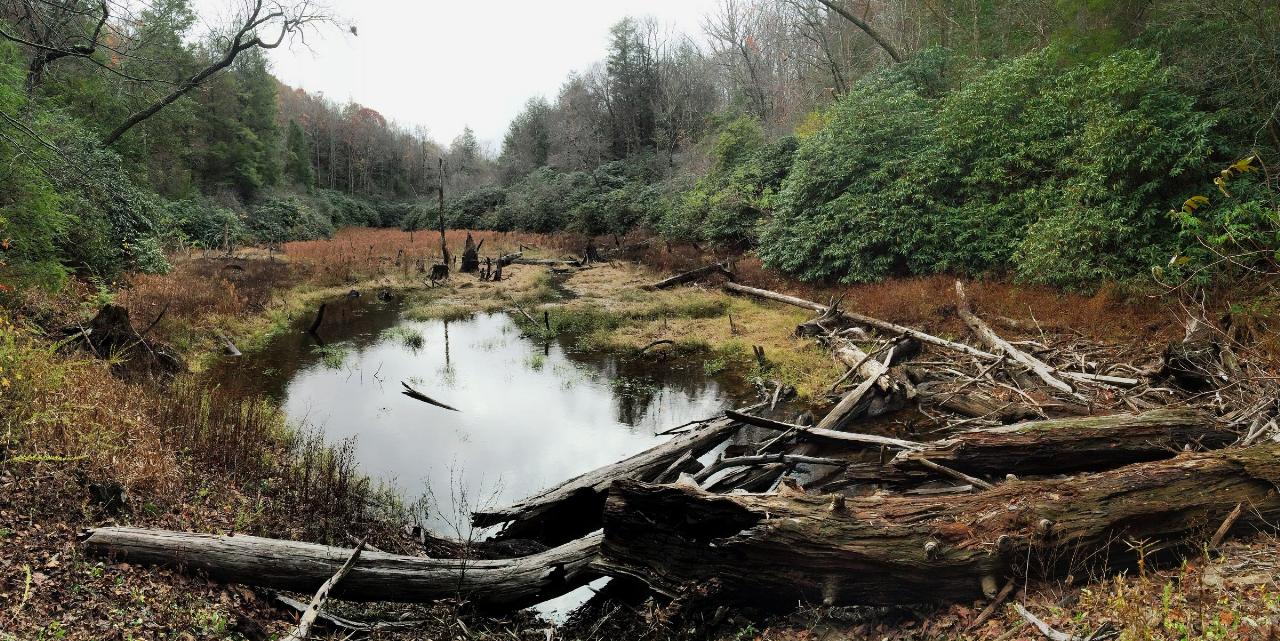
 The beaver pond and wetland along the Songbird Trail in the Lake Conasauga Recreation Area. courtesy of ChattOconeeNF↗ (CC BY 2.0↗)
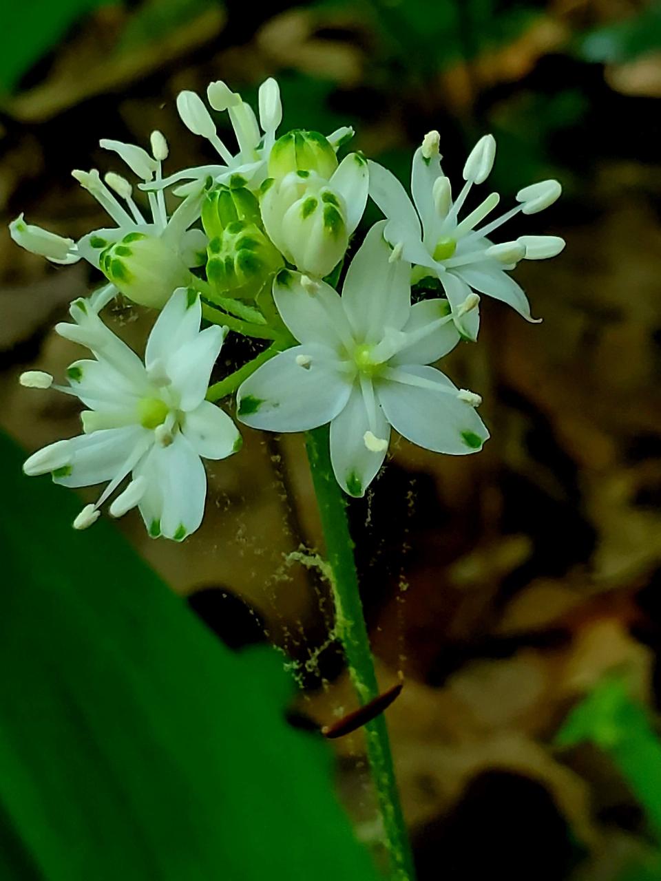
 A speckled wood lily in bloom at Lake Conasauga. courtesy of Forest Service Photography↗ (Public domain↗)
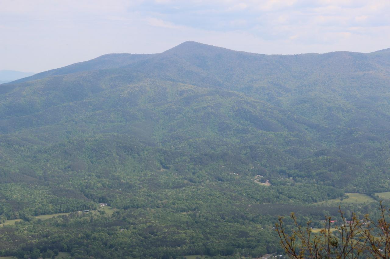
 Grassy Mountain, the peak that holds Lake Conasauga, seen across the valley from Fort Mountain. courtesy of Thomson200↗ (CC0↗)
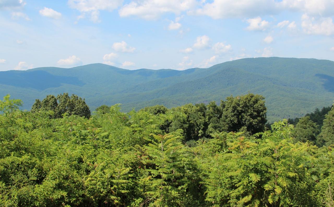
 The Cohutta Mountains from Cohutta Overlook in Murray County, south of the lake. courtesy of Thomson200↗ (CC0↗)
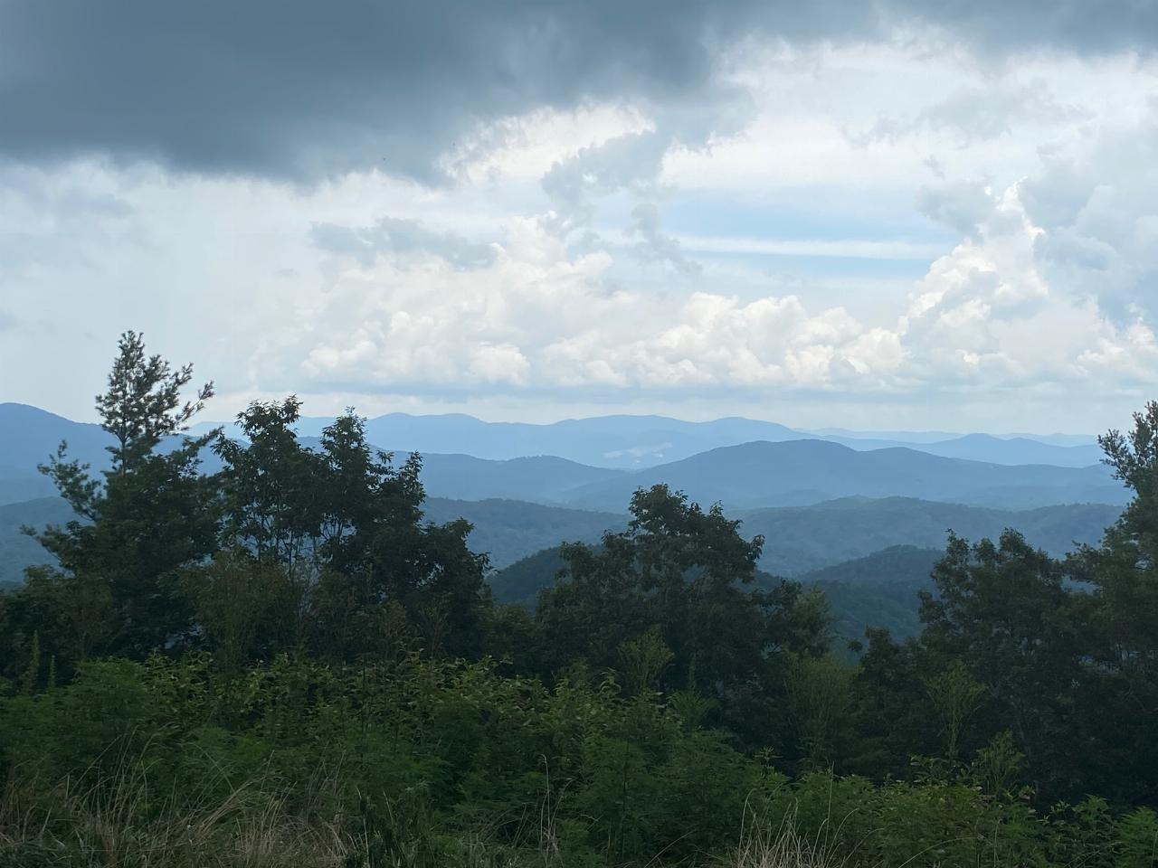
 Ridges of the Cohuttas seen from Conasauga Road, one of the gravel approaches toward the lake. courtesy of Tamparitus↗ (CC BY-SA 4.0↗)
Other Swimming Holes, Hiking Trails, Canoeing Areas, and Kayaking Areas Nearby

Holly Creek Picnic Area
Chatsworth, Georgia
3.2 miles SA scenic North Georgia picnic and swimming spot with a shallow creek hole, easy rock jumps, and kayaking nearby.
Canoe, Kayak, Swim 5.6 mi
Emery Creek Trail
Chatsworth, Georgia
3.2 miles STwo beautiful waterfalls and a small swimming hole shine on this 5.9-mile Northern Georgia trail, but plan for multiple creek crossings — water shoes are a must.
Hike
Conasauga Area
Soddy-Daisy, Tennessee
9.4 miles NSwim near Soddy-Daisy, Tennessee
Swim
Blue Hole Ocoee
Turtletown, Tennessee
17.8 miles NENumerous swimming holes 10-to-15 feet deep with tunnels to swim through, cliff jumping, and snorkeling in crystal-clear water — a great family adventure on the Ocoee.
Swim
Farmers Lake
Cohutta, Georgia
18.5 miles WSwim near Cohutta, Georgia
Swim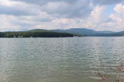
Morganton Point Recreation Area
Morganton, Georgia
22.6 miles EForest Service swim beach, campground and boat ramp on a wooded point jutting into Lake Blue Ridge, two miles from the town of Morganton.
Camp, Canoe, Hike, Kayak, Swim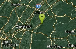
Hiwassee
Benton, Tennessee
26.5 miles NSwim near Benton, Tennessee
Swim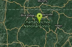
Chattahoochee National Park
Cave Spring, Georgia
32.0 miles ESwim near Cave Spring, Georgia
Swim 2.4 mi
Edge Of The World
Dawsonville, Georgia
39.0 miles SEA scenic 3-mile hike along the Amicalola River to a family-friendly swimming hole and small waterfall near Atlanta.
Hike, Swim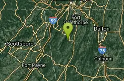
Blue Hole Pigeon
LaFayette, Georgia
40.8 miles WA small, deep blue-green spring-fed pool — possibly a cave entrance — with divided pools, primitive camping nearby, and spelunking in the area; a Georgia Outdoor Recreational Pass is required.
Swim
Vogle State Park
Blairsville, Georgia
41.9 miles EA 233-acre park at the base of Blood Mountain in the Chattahoochee National Forest — one of Georgia's first state parks, founded in 1931.
Camp, Canoe, Swim
Baby Falls Area
Tellico Plains, Tennessee
41.9 miles NESwim near Tellico Plains, Tennessee
Swim
Baby Falls
Tellico Plains, Tennessee
42.0 miles NEA Tellico River waterfall and swimming hole that's beginner-friendly for kayakers, beautiful for hikers, and especially stunning in fall for picnics and photography.
Hike, Kayak, Swim, Whitewater
Chickamauga Creek
Soddy-Daisy, Tennessee
42.1 miles NWMultiple swimming holes along a state natural area trail near Soddy-Daisy — including the local favorite 'Blue Hole' with cliffs, a rope swing, and 12-to-14-foot depths. The area closes at 7 p.m. and sees litter; pack a bag and carry some out.
Swim
Davis Branch
Tellico Plains, Tennessee
42.6 miles NEA riverside campground on the Tellico River with six campsites, each with a picnic table — a peaceful Tennessee base camp for hiking, fishing, and campfire nights.
Camp, Hike, Swim
Pooles Mill
Ball Ground, Georgia
45.7 miles SESwim near Ball Ground, Georgia
Swim
Fires Creek Area
Wake Forest, North Carolina
47.6 miles ESwim near Wake Forest, North Carolina
SwimNearby Campsites
Morganton Point Recreation Area
Morganton, Georgia
22.6 miles EForest Service swim beach, campground and boat ramp on a wooded point jutting into Lake Blue Ridge, two miles from the town of Morganton.
Camp, Canoe, Hike, Kayak, Swim
Vogle State Park
Blairsville, Georgia
41.9 miles EA 233-acre park at the base of Blood Mountain in the Chattahoochee National Forest — one of Georgia's first state parks, founded in 1931.
Camp, Canoe, Swim
Davis Branch
Tellico Plains, Tennessee
42.6 miles NEA riverside campground on the Tellico River with six campsites, each with a picnic table — a peaceful Tennessee base camp for hiking, fishing, and campfire nights.
Camp, Hike, Swim


