


Cheoah Point Beach
Robbinsville
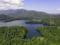
Camp, Canoe, Hike, Kayak, and Swim
Cheoah Point Beach is the day-use swim beach inside the Cheoah Point Recreation Area, a U.S. Forest Service site on Santeetlah Lake in the Cheoah Ranger District of the Nantahala National Forest. The recreation area sits on a wooded peninsula in Graham County, North Carolina, about 6 miles north of Robbinsville. The beach shares the peninsula with a campground, a pair of rental cabins, a picnic pavilion and a boat launch, but the beach itself is open to anyone, not just campers.
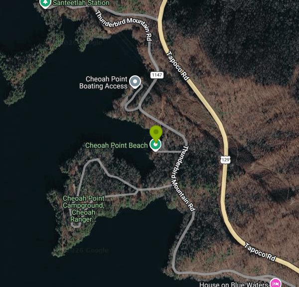
From Robbinsville, drive north on US 129 for roughly 6 miles and turn left onto Thunderbird Mountain Road (SR 1145). Follow it about 1.3 miles to the Cheoah Point entrance, then keep to the day-use side for the beach parking lot, which sits just above the sand. A short footpath and a set of steps lead down from the lot to the water. Parking is limited on busy summer weekends and the Forest Service warns that a pass does not guarantee a space. Cars left outside marked spaces can be ticketed or towed.
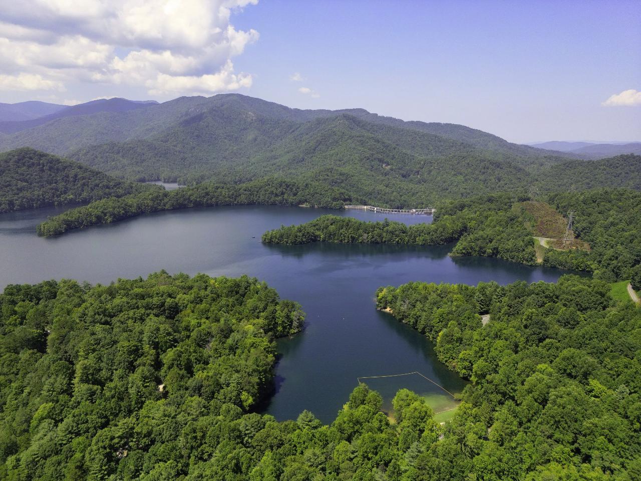
The beach is a strip of sand at the head of a small, sheltered cove, with a roped swim area out in front of it that keeps boats away from swimmers. Behind the sand there is a grassy lawn with picnic tables and a covered pavilion that looks out over the lake. Santeetlah Lake is a hydroelectric reservoir of about 2,880 acres, formed in 1928 by Santeetlah Dam and run by the Tapoco power company, and the water drops off into deep lake beyond the shallows by the sand. It is mountain water, so expect it to feel cold in April and May and comfortable by midsummer. No lifeguard is listed for this site, so you swim at your own risk and children need an adult watching them.
Cheoah Point Beach is open April 15 through October 31 and is closed for the off season the rest of the year. It is not free: the Forest Service charges a $5 day-use fee per private vehicle, or $30 for an annual pass that is good only at this beach. The day pass covers everyone in one car and is valid until the site closes at 10 PM on the date shown. You can buy it ahead of time on Recreation.gov or on site; the site pass is checked against your license plate, and cell service on the peninsula is spotty, so it is easier to buy and print the pass before you leave town.
A few rules here differ from other lake beaches. Dogs and other pets are not allowed anywhere in the beach area, even on a leash, and alcohol is banned throughout the site. Boats, including personal watercraft, use the lake all around the peninsula, so stay inside the ropes. The lake level is controlled by the dam operator rather than the Forest Service, so the waterline at the beach can sit higher or lower from one visit to the next. The Forest Service lists no potable water or confirmed restrooms on the beach page itself, so plan on bringing your own drinking water.
If you want to stay longer, the Cheoah Point campground next door has tent sites at $20 a night, RV sites with electric hookups at $25 and two cabins at $40, bookable through Recreation.gov, plus flush toilets and hot showers. The boat launch stays open all year for anglers fishing for bass, walleye, trout and crappie, and the Wauchecha Bald Trail starts nearby and climbs to the Appalachian Trail.
More Information
Cheoah Point Beach Pass in North Carolina - Recreation.gov
Buy Cheoah Point Beach Activity Pass in National Forests in North Carolina, North Carolina with Recreation.gov. Cheoah Point Beach offers a designated swimming area and sandy beach surrounded by picnic tables and a large grassy lawn. A picnic pavilion offers group picnic
https://www.recreation.gov/activitypass/2afcbbc8-5204-11eb-8747-f6e20943d721Cheoah Point Campground, National Forests in North Carolina - Recreation.gov
Explore Cheoah Point Campground in National Forests in North Carolina, North Carolina with Recreation.gov. Cheoah Point Campground lies on a peninsula of the vast Lake Santeetlah in the hills of western North Carolina. The lake and surrounding landscape provide count
https://www.recreation.gov/camping/campgrounds/234583National Forests in North Carolina | Cheoah Point Recreation Area | Forest Service
Campground & Beach: Open April 15 - October 31Boat Launch: Open year roundLocated adjacent to Santeetlah Lake, this area has developed camping, picnicking, swimming, fishing, and boating. Nearby, the Wauchecha Bald Trail provides access to the Appalachian Trail.
https://www.fs.usda.gov/r08/northcarolina/recreation/cheoah-point-recreation-areaNational Forests in North Carolina | Cheoah Ranger District, Nantahala National Forest | Forest Serv
Explore remote wilderness, rugged mountain terrain, and scenic drives in one of the most secluded corners of western North Carolina. The Cheoah Ranger District includes part of the Joyce Kilmer Memorial Forest, the Cherohala Skyway, and backcountry recreation opportunities across 121,985 acres in Graham and Swain counties.
https://www.fs.usda.gov/r08/northcarolina/recreation/cheoah-ranger-district-nantahala-national-forestNew year brings fee changes at some Pisgah, Nantahala recreation sites
The start of 2019 marks the beginning of new or increased fees at 24 recreation sites in the Pisgah and Nantahala National Forests. Starting Jan. 1, 2019, the U. S. Forest Service will implement the following fees: Campgrounds. Bristol Fields Horse Camp - increase from $5 to $8/night. Cheoah Point - increase from $15 to $20/night for single sites, $20 to $25/night for RV sites. Cable Cove - increase from $10 to $15/night. Curtis Creek - increase from $5 to $10/night.
https://int.wlos.com/news/local/new-year-brings-fee-changes-at-some-pisgah-nantahala-recreation-sitesBe courteous, informed, and prepared. Read trailhead guidelines, stay on the trail, and don't feed the wildlife.
Read More
- Plan Ahead and Prepare
- Travel & camp on durable surfaces
- Dispose of waste properly
- Leave what you find
- Minimize campfire impacts
- Respect wildlife
- Be considerate of other visitors
Directions
From Robbinsville
- Head west on Snider Hill toward Circle St (325 ft)
- Turn right onto Circle St (0.1 mi)
- Keep left to stay on Circle St (233 ft)
- Turn left onto Moose Branch Rd (0.1 mi)
- Turn right onto Knight St (0.3 mi)
- Turn left onto US-129 N/
Tapoco Rd (5.1 mi) - Turn left onto Thunderbird Mountain Rd (0.7 mi)
- Turn right to stay on Thunderbird Mountain Rd (0.8 mi)
- Turn left (269 ft)
- Turn rightDestination will be on the left(75 ft)
 Aerial view over the Cheoah Point cove on Santeetlah Lake, with the roped swim area at lower right a courtesy of Harrison Keely↗ (CC BY 4.0↗)
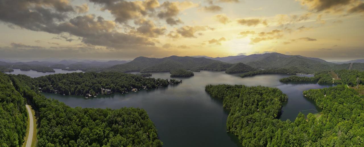
 Panoramic aerial view of Santeetlah Lake near Cheoah Point at sunset. courtesy of Harrison Keely↗ (CC BY 4.0↗)
 Santeetlah Lake and its wooded islands seen from above, close to the Cheoah Point peninsula. courtesy of Harrison Keely↗ (CC BY 4.0↗)
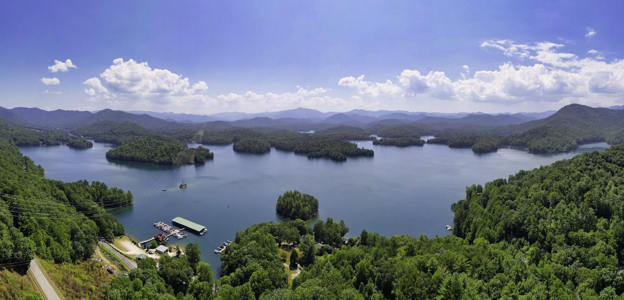
 Evening light over the open water of Santeetlah Lake near Cheoah Point. courtesy of Harrison Keely↗ (CC BY 4.0↗)
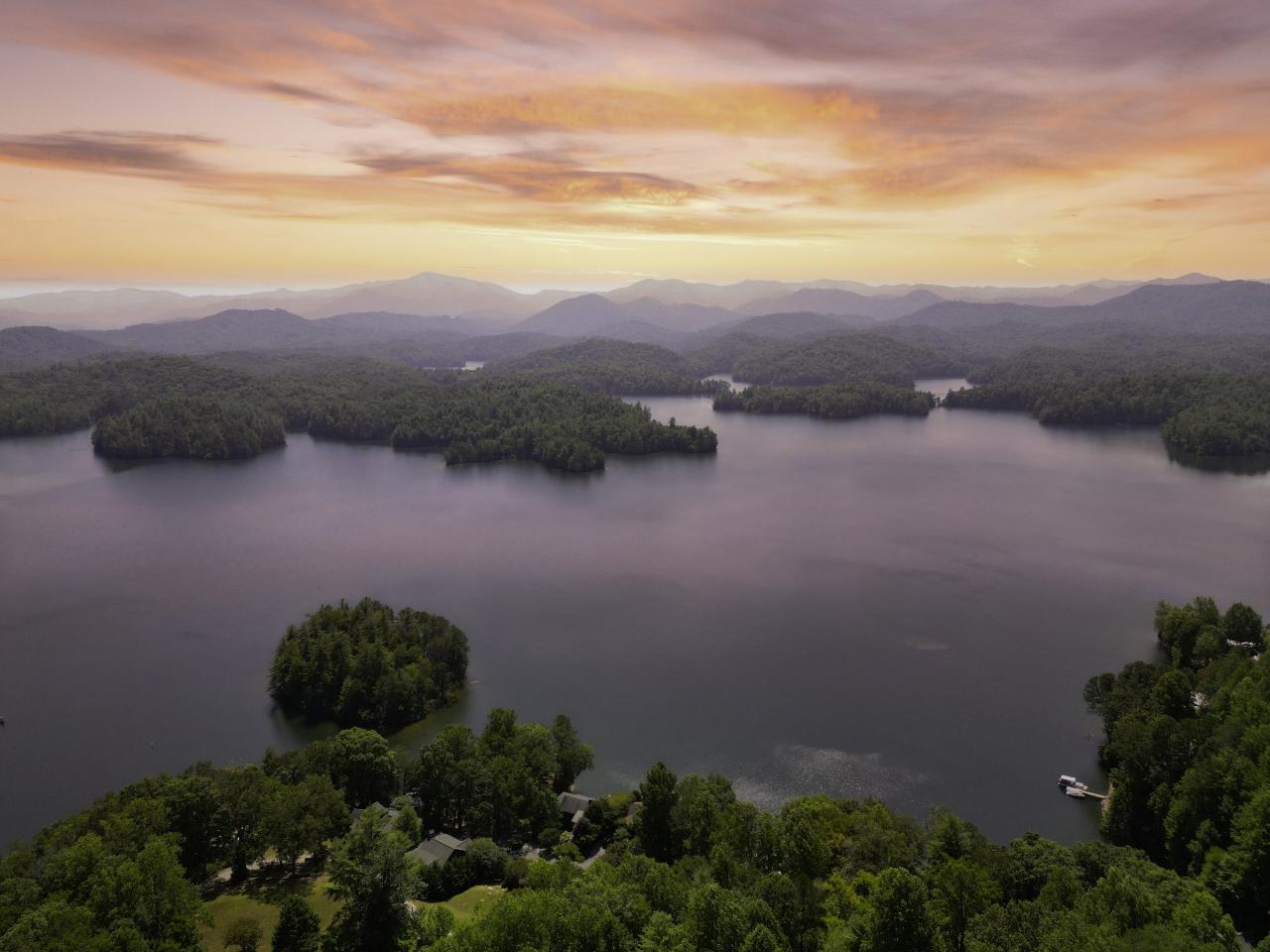
 A long arm of Santeetlah Lake below forested ridges, near Cheoah Point. courtesy of Harrison Keely↗ (CC BY 4.0↗)
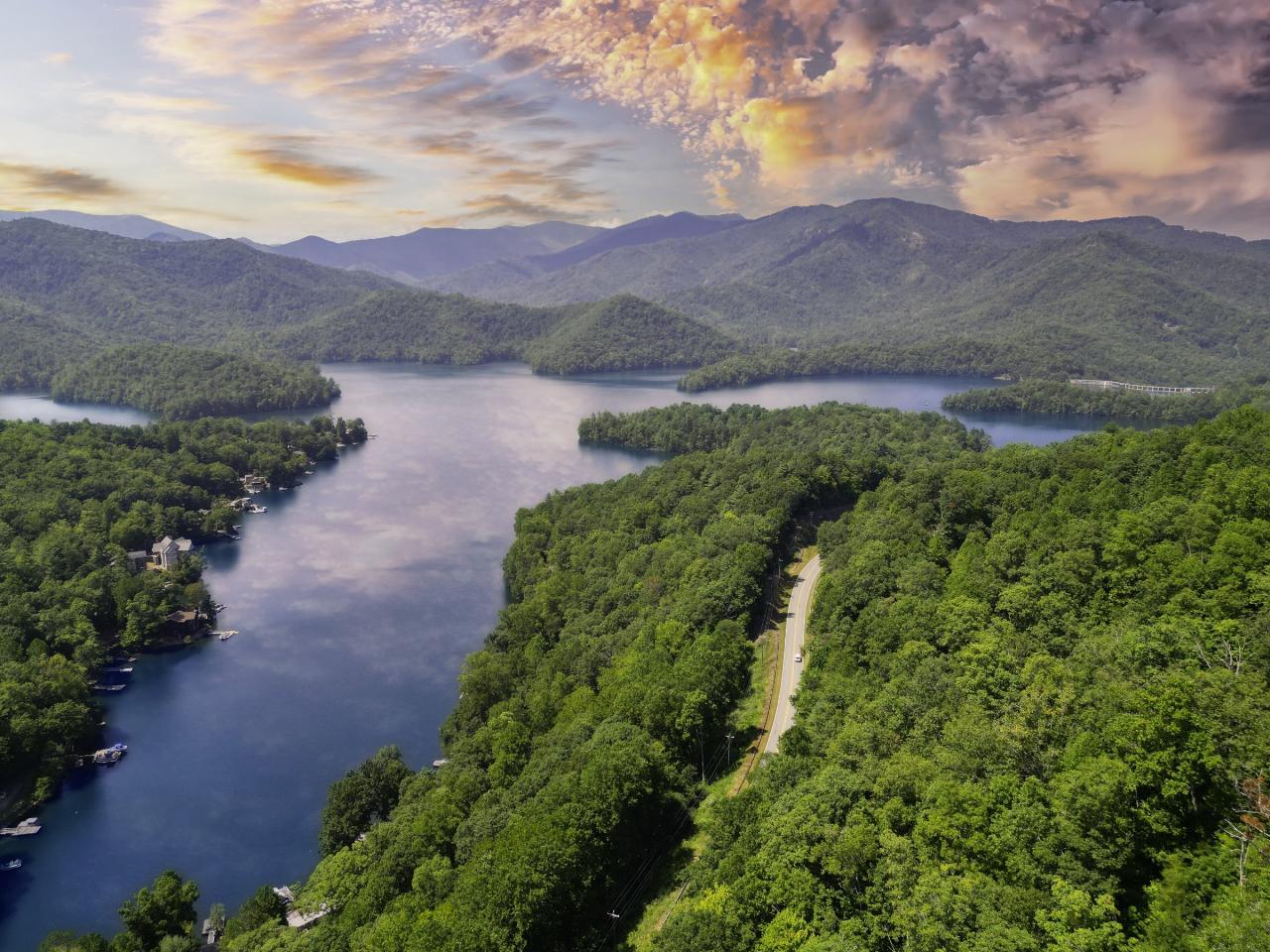 Morning mist lifting off Santeetlah Lake, seen from the shore near Cheoah Point. courtesy of Miles Buddy↗ (CC BY-SA 3.0↗)
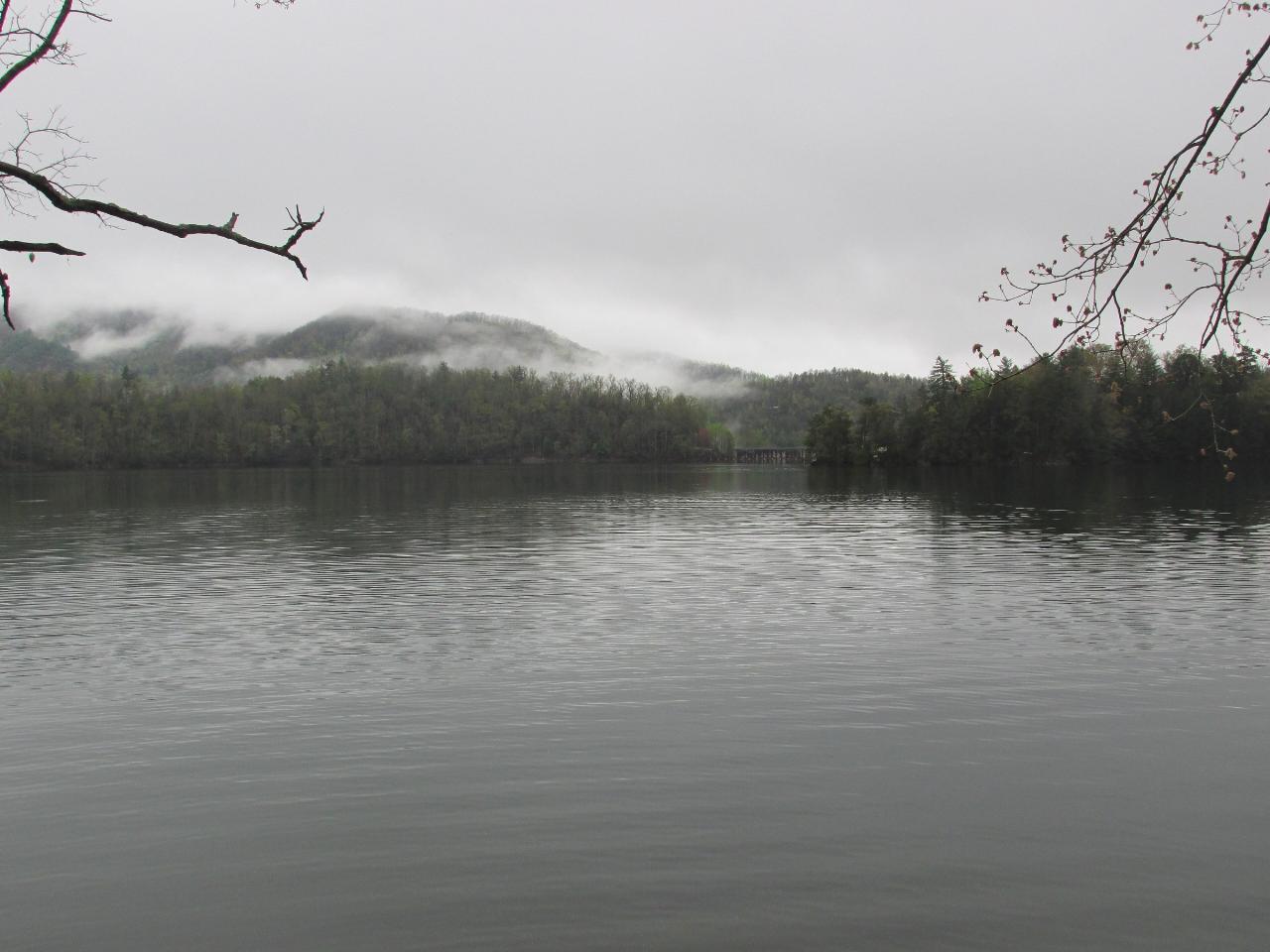
Other Swimming Holes, Hiking Trails, Canoeing Areas, and Kayaking Areas Nearby

Queens Creek Lake
Nantahala, North Carolina
13.8 miles SEA secluded reservoir in the Nantahala mountains with mountain reflections on still water, quality trout fishing, swimming on warm days, and a scenic drive up Winding Stairs Road.
Swim
Davis Branch
Tellico Plains, Tennessee
14.4 miles SWA riverside campground on the Tellico River with six campsites, each with a picnic table — a peaceful Tennessee base camp for hiking, fishing, and campfire nights.
Camp, Hike, Swim
Fingerlake
Almond, North Carolina
17.5 miles EAn offshoot of Fontana Lake open April through October, Fingerlake offers gravel-edged swimming, kayaking, canoeing, and fishing surrounded by lush forest — with restrooms and picnic tables on site.
Canoe, Kayak, Swim
Baby Falls Area
Tellico Plains, Tennessee
17.6 miles WSwim near Tellico Plains, Tennessee
Swim
Baby Falls
Tellico Plains, Tennessee
17.6 miles WA Tellico River waterfall and swimming hole that's beginner-friendly for kayakers, beautiful for hikers, and especially stunning in fall for picnics and photography.
Hike, Kayak, Swim, Whitewater
Fires Creek Area
Wake Forest, North Carolina
19.0 miles SSwim near Wake Forest, North Carolina
Swim
Deep Creek Area
Wallace, North Carolina
25.6 miles ESwim near Wallace, North Carolina
Swim
Boone Area
Otto, North Carolina
32.0 miles SESwim near Otto, North Carolina
Swim
Big Laurel Falls
Otto, North Carolina
32.0 miles SESwim near Otto, North Carolina
Swim
Mt. LeConte Lodge
Sylva, North Carolina
34.2 miles EThe highest guest lodge in the eastern United States at 6,400 feet, with spectacular Smokies views from an open glade just below the Mt. LeConte summit in Great Smoky Mountains NP.
Camp, Hike, Horseback, Rock Climb
Little Pigeon River
Gatlinburg, Tennessee
35.8 miles NESeven accessible swimming holes and tubing spots on the Little Pigeon River, surrounded by beautiful Smoky Mountain scenery near Gatlinburg's attractions.
Swim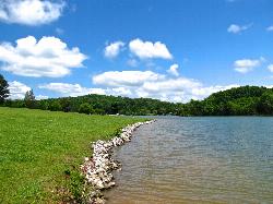
The Cove at Concord Park
Knoxville
36.5 miles NWKnox County's free public swim beach on a sheltered cove of Fort Loudoun Lake west of Knoxville, with trucked-in sand, sand volleyball and seasonal paddleboard rentals. It is a designated swim area, but there is no lifeguard.
Canoe, Hike, Kayak, Swim 3.8 mi
Ramsey Cascades
Gatlinburg, Tennessee
36.7 miles NERamsey Cascades is the tallest waterfall in Great Smoky Mountains National Park — a thundering 100-foot, multi-tiered cascade hidden deep in the old-growth forest of the Greenbrier area near...
Hike, Kayak, Swim, Whitewater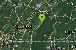
Hiwassee
Benton, Tennessee
39.6 miles WSwim near Benton, Tennessee
Swim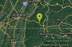
Blue Hole Ocoee
Turtletown, Tennessee
39.7 miles SWNumerous swimming holes 10-to-15 feet deep with tunnels to swim through, cliff jumping, and snorkeling in crystal-clear water — a great family adventure on the Ocoee.
Swim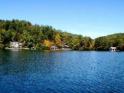
Timpson Cove Beach
Clayton
41.0 miles SEA Georgia Power swim beach on the east shore of Lake Burton, with a buoyed swim area, picnic tables and restrooms about nine miles out of Clayton. No posted fee, no lifeguard, and a winter drawdown that decides how much sand there is.
Swim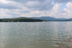
Morganton Point Recreation Area
Morganton, Georgia
41.0 miles SWForest Service swim beach, campground and boat ramp on a wooded point jutting into Lake Blue Ridge, two miles from the town of Morganton.
Camp, Canoe, Hike, Kayak, Swim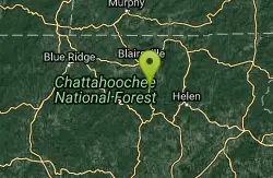
Vogle State Park
Blairsville, Georgia
41.9 miles SA 233-acre park at the base of Blood Mountain in the Chattahoochee National Forest — one of Georgia's first state parks, founded in 1931.
Camp, Canoe, Swim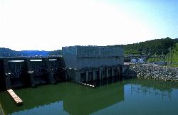
Melton Hill Dam Swimming Area
Lenoir City
42.6 miles NWA free TVA swim beach on Melton Hill Lake, just upstream of Melton Hill Dam near Lenoir City, with a buoyed swim area, boat ramp, picnic pavilions and a campground next door.
Camp, Canoe, Kayak, Swim
Big Creek
Waynesville, North Carolina
42.7 miles EBig Creek is a crystalline mountain stream tumbling through the quiet northeastern corner of Great Smoky Mountains National Park, and it may be the single best swimming creek in the Smokies. Cold,...
SwimNearby Campsites
Davis Branch
Tellico Plains, Tennessee
14.4 miles SWA riverside campground on the Tellico River with six campsites, each with a picnic table — a peaceful Tennessee base camp for hiking, fishing, and campfire nights.
Camp, Hike, Swim
Cades Cove Campground
Townsend, Tennessee
16.7 miles NOver 2 million visitors a year come to bike, hike, tour the 11-mile loop road, and watch wildlife amid wildflowers in spring and vivid fall colors in this iconic Smoky Mountain valley.
Camp
Mt. LeConte Lodge
Sylva, North Carolina
34.2 miles EThe highest guest lodge in the eastern United States at 6,400 feet, with spectacular Smokies views from an open glade just below the Mt. LeConte summit in Great Smoky Mountains NP.
Camp, Hike, Horseback, Rock Climb
Morganton Point Recreation Area
Morganton, Georgia
41.0 miles SWForest Service swim beach, campground and boat ramp on a wooded point jutting into Lake Blue Ridge, two miles from the town of Morganton.
Camp, Canoe, Hike, Kayak, Swim
Vogle State Park
Blairsville, Georgia
41.9 miles SA 233-acre park at the base of Blood Mountain in the Chattahoochee National Forest — one of Georgia's first state parks, founded in 1931.
Camp, Canoe, Swim
Melton Hill Dam Swimming Area
Lenoir City
42.6 miles NWA free TVA swim beach on Melton Hill Lake, just upstream of Melton Hill Dam near Lenoir City, with a buoyed swim area, boat ramp, picnic pavilions and a campground next door.
Camp, Canoe, Kayak, Swim
War Woman Dell Wildlife Management Area
Clayton, Georgia
44.8 miles SEA short 0.8-mile out-and-back hike near Clayton, Georgia through a nature trail to a waterfall — good for all skill levels and accessible year-round.
Camp, Hike, Horseback
Cosby Campground
Cosby, Tennessee
45.6 miles NECamp and Swim near Cosby, Tennessee
Camp, Swim
Lake Rabun Beach Recreation Area
Lakemont
48.0 miles SEA small Forest Service swim beach with a roped swim area on Lake Rabun near Lakemont, Georgia. Open sunrise to sundown year-round; day use is $5 per person age 16 and up.
Camp, Hike, Kayak, Swim


