


7 Hiking Trails near Mountain Center, CA 92561
first prev 1 next lastShowing Hiking Trails within 50 miles Distance miles of Mountain Center, CA 92561, USA City, Zip, or Address
Apple Canyon via Devil's Slide (shuttle hike)
Mountain Center, California
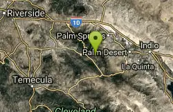
4.2 miles EHike near Mountain Center, California
Hike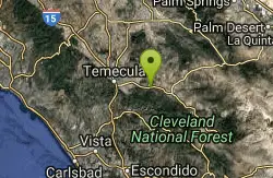
Dripping Springs Trail/Agua Tibia Wilderness
Temecula, California
21.8 miles SWIn the Agua Tibia Wilderness. Best times of the year to visit are Fall, Winter and Spring - not recommended for summer, carry water. The trail immediately begins to climb out of the campground on a...
Hike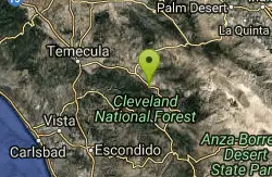
Oak Grove/High Point Trail
Warner Springs, California
22.6 miles SOak Grove Trail is the oldest established trail on the Palomar Ranger District. Although a steep trail, it offers great views of the San Jacinto and San Gorgonio Mountains and the Oak Grove valley...
Hike, Mountain Bike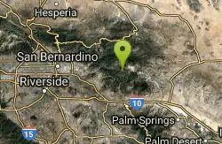
Vivian Creek Trail
Forest Falls, California
27.8 miles NThe Vivian Creek Trail is the shortest and the steepest route to the summit of Mt. San Gorgonio, located in the San Gorgonio Wilderness Area. One and two-tenths miles from the trailhead is Vivian...
Camp, Hike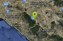
Horse Thief Canyon
Corona, California
40.6 miles WHorse Thief Canyon is a hidden play location in Lake Elsinore/Corona, California. This is an Awesome place to play off of the side of the road. Rocks, Trees, Sandpits, and more to make your game...
Airsoft, Hike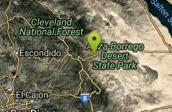
San Felipe Hills
Julian, California
44.4 miles SThe San Felipe Hills are a mountain range within the Anza-Borrego Desert State Park in the Colorado Desert, in eastern San Diego County, California.
Hike
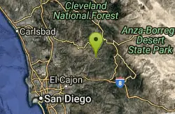
Cedar Creek Falls
Ramona, California
49.4 miles SCedar Creek Falls is a spectacular waterfall plunging 80 feet into a large pool of water. The trails to Cedar Creek Falls lead hikers through the beautiful backcountry hills of eastern San Diego....
Hike, Swim


