


Lassen Peak
Mineral, California
| Address: | Lassen Volcanic National Park, Mineral, CA 96063, USA |
| GPS: |
40°28'27.1"N 121°30'17.9"W Maps | Directions |
| State: | California |
National Park
Backpack and Hike
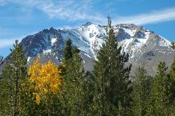
Lassen Peak is the largest plug dome volcano in the world and the second tallest volcano in Northern California. It is situated in Lassen Volcanic National Park, one of the few places in the world where all four types of volcanos can be found in one place. Part of the Cascade Range, Lassen Peak is the southernmost volcano in the range. It has not errupted since the early 1900's, though the devastated land from the erruptions helped to create Lassen Volcanic National Park.
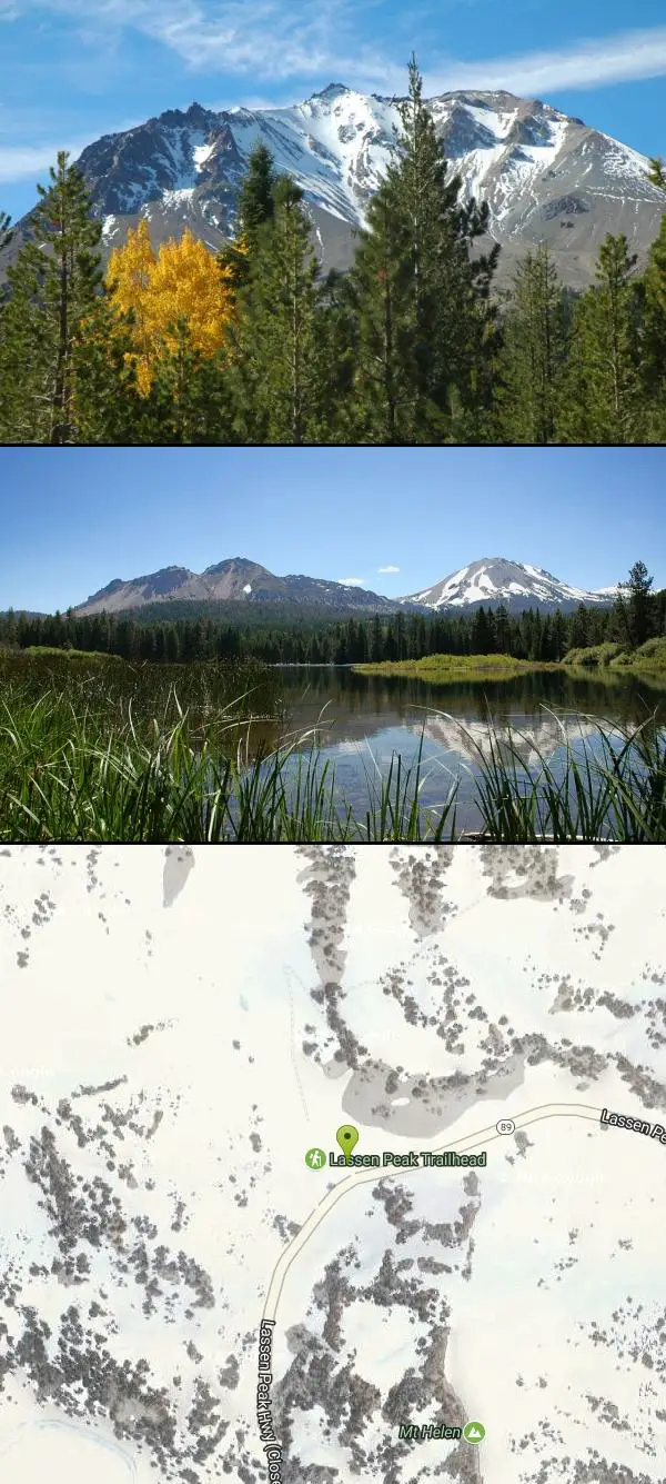
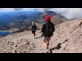
The peak can be climbed year-round, though wintertime sees a significant amount of snow on the trail. Sitting at 10,457 ft, Lassen Peak has a 5 mile round trip hike. This can take about 3-5 hours to hike and includes a steep 2,000 ft elevation gain. Hikers will begin the trek from the peak parking lot. Along the way, hikers will see fantastic views of some of the different areas of the park as well as one of the best views of the Devastated Area (the remaining aftermath of the early erruptions). Lassen Peak is an active volcano, however it is currently considered a dormant, active volcano.
This trail is just one of the 150 miles of trails available throughout the Lassen Volcanic National Park.
More Information
Be courteous, informed, and prepared. Read trailhead guidelines, stay on the trail, and don't feed the wildlife.
Read More- Plan Ahead and Prepare
- Travel & camp on durable surfaces
- Dispose of waste properly
- Leave what you find
- Minimize campfire impacts
- Respect wildlife
- Be considerate of other visitors
Directions
From Mineral, California
- Head northeast on CA-36 E toward Aspen Ln (4.3 mi)
- Turn left onto CA-89 N/Volcanic Legacy Scenic BywayMay be closed at certain times or days(12.2 mi)
- Turn leftDestination will be on the left(85 ft)


Added by cteicheira
Other Hiking Trails and Backpacking Trails Nearby
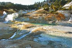
Bumpass Hell
0.8 miles SW
Bumpass Hell is the largest collection of hydrothermal features in Lassen Volcanic National Park. The overall 3 mile round trip hike takes visitors around some of the hottest and largest features in...
Hike
Kings Creek Falls
Shasta County, California
2.6 miles EWhile Lassen Volcanic National Park is known for its wide variety of hydrothermal features, there are a few other sights in the park worth seeing, including Kings Creek Falls. The trail is accessible...
Hike, Horseback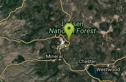
Lassen Volcanic National Park
Redding, California
4.5 miles NELassen Volcanic National Park is home to smoking fumaroles, meadows freckled with wildflowers, clear mountain lakes, and numerous volcanoes. Jagged peaks tell the story of its eruptive past while...
Backcountry Ski, Camp, Canoe, Hike, Horseback, Hot Springs, Mountain Bike, Snowshoe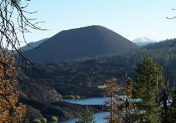
Cinder Cone and the Fantastic Lava Beds
Lassen County, California
12.4 miles NEOne of the four types of volcanos found in Lassen Volcanic National Park, Cinder Cone stands at 6,907 ft elevation and 750 ft above the surrounding landscape. Cinder Cone was formed in the...
Hike 0.3 mi
Burney Falls
Burney, California
38.1 miles NBurney Falls has been considered one of the most spectacular waterfalls in the state. It stands at 129 feet tall and is coated by curtains of green fern. The best part about this waterfall, for many...
Hike


