


Little River Falls
Fort Payne, Alabama
Swim
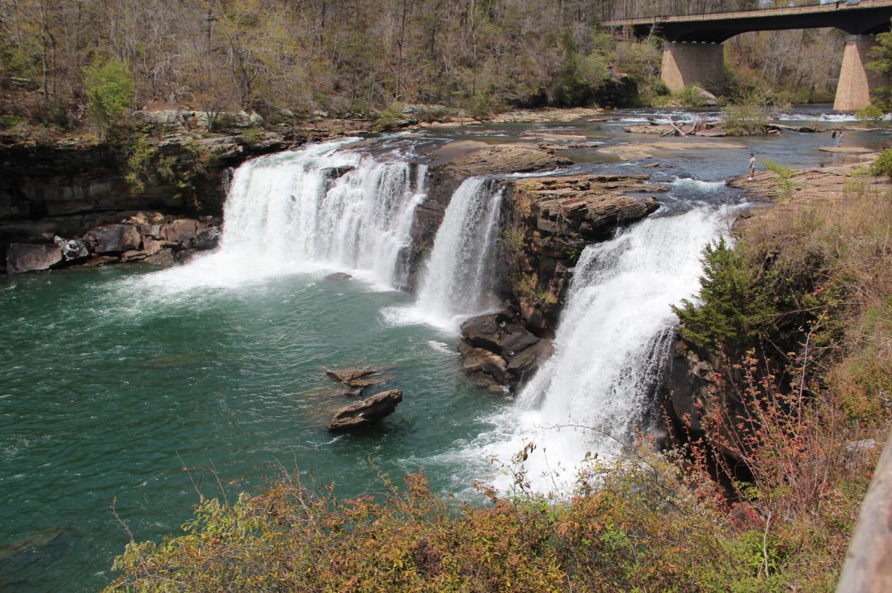
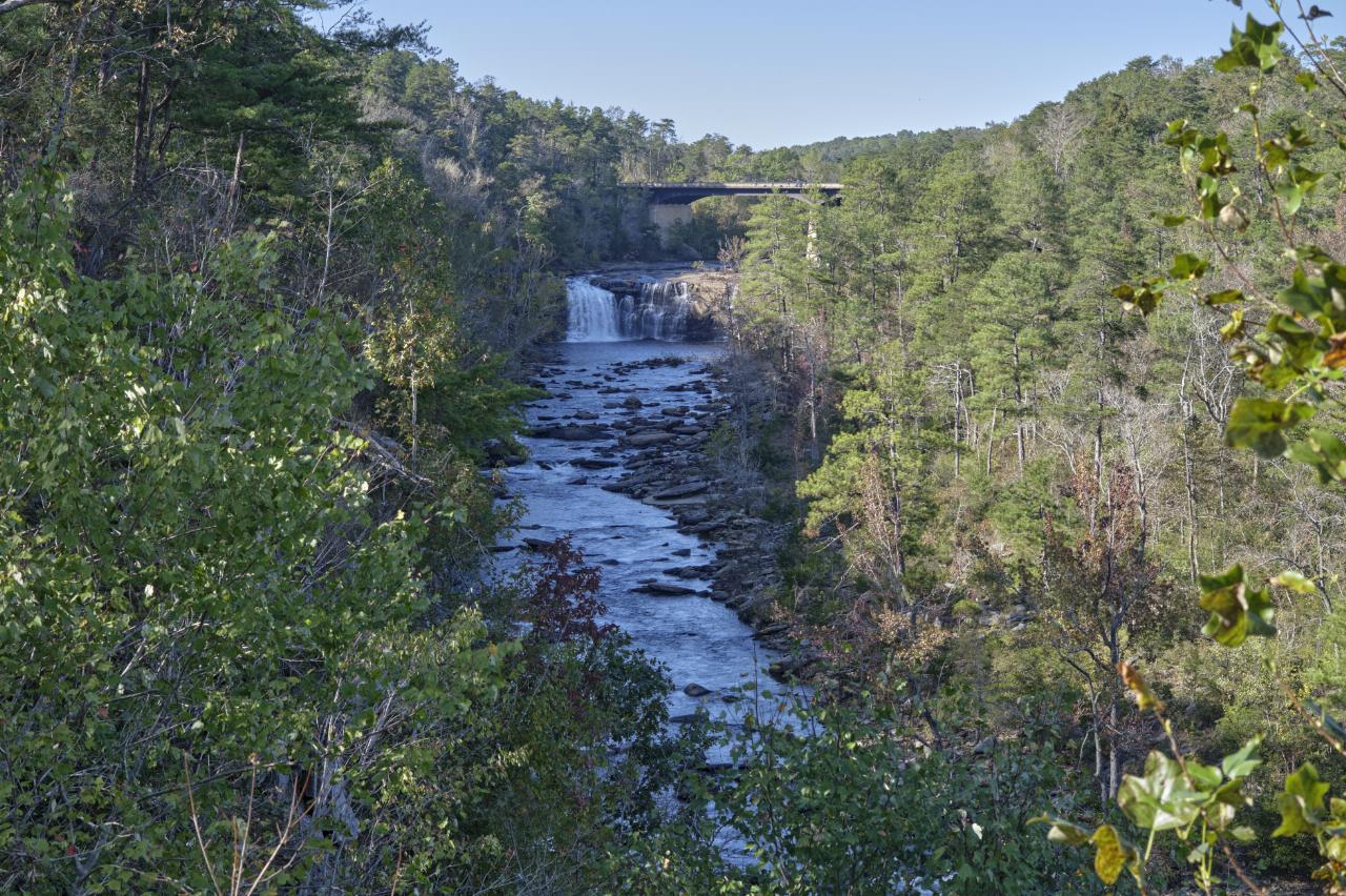
Little River Falls is the dramatic centerpiece at the head of the Little River Canyon National Preserve near Fort Payne, Alabama, on the line between DeKalb and Cherokee counties. Here the Little River, one of the very few rivers in the country that flows almost its entire length along the top of a mountain, reaches the edge of Lookout Mountain and plunges roughly 45 feet over a sandstone lip before beginning its rush into the deep gorge below. It is very likely the most accessible large waterfall in Alabama: a paved overlook and a short boardwalk deliver you right to the brink with almost no walking, which makes it the busiest and most photographed stop in the preserve.
The falls are at their most thunderous in late winter and spring, when rain and snowmelt swell the river and the whole ledge turns into a curtain of whitewater; by midsummer the flow drops and the character shifts from spectacle to swimming hole. Above and below the lip the river spreads across broad slabs of slickrock and gathers into pools that draw waders, sunbathers and swimmers on hot days. The rock is inviting but genuinely slick, and the water right at the falls is powerful, so the Park Service asks people to stay well back from the edge; most swimming happens in the calmer pools away from the drop, and this is a place where underestimating the current has gotten people into serious trouble, especially after rain.
From the falls, the 22-mile Little River Canyon Rim Parkway runs south along the west rim past a string of overlooks into one of the deepest canyons east of the Mississippi, a gorge of pale sandstone, hardwood forest and hidden pools. The preserve anchors a cluster of famous Lookout Mountain waterfalls: Grace's High Falls, among the tallest in Alabama, drops seasonally from a side canyon a few miles down the parkway, and DeSoto Falls sits a short drive north, so a single day can easily string together several of the state's best.
Practical notes are simple. The main overlook and boardwalk are open year-round and free, with parking right off Highway 35 just east of the bridge over the Little River. There is a picnic area nearby, and the Little River Canyon Center on Highway 35 makes a good first stop for current conditions and trail information. The best light for photos is morning, and the best show is any time after a good rain. Whether you come to stand at the brink of a 45-foot waterfall with no effort at all or to wade the pools on a summer afternoon, Little River Falls is the easy, iconic introduction to the canyon before the wilder swimming holes downstream.
More Information
Little River Canyon National Preserve (U.S. National Park Service)
Little River is unique because it flows for most of its length atop Lookout Mountain in northeast Alabama. Forested uplands, waterfalls, canyon rims and bluffs, pools, boulders, and sandstone cliffs offer settings for a variety of recreational activities. Natural resources and cultural heritage come together to tell the story of the Preserve, a special place in the Southern Appalachians.
https://www.nps.gov/liri/index.htmVisit Little River Falls, DeSoto Falls & Grace's High Falls
Explore Little River Canyon National Preserve, home to three of the best waterfalls in Alabama: Little River Falls, DeSoto Falls and Grace's High Falls.
https://www.northalabama.org/places-to-visit/trails/waterfalls/waterfall-trio-on-lookout-mountain/
- Plan Ahead and Prepare
- Travel & camp on durable surfaces
- Dispose of waste properly
- Leave what you find
- Minimize campfire impacts
- Respect wildlife
- Be considerate of other visitors
Directions
From Fort Payne, Alabama
- Head northeast on Gault Ave N toward 5th St (26 ft)
- Turn right onto 5th St (0.4 mi)
- Turn left onto AL-35 S/
Wallace Ave NE Continue to follow AL-35 S(7.3 mi) - Turn right onto AL-176 WDestination will be on the left(0.4 mi)
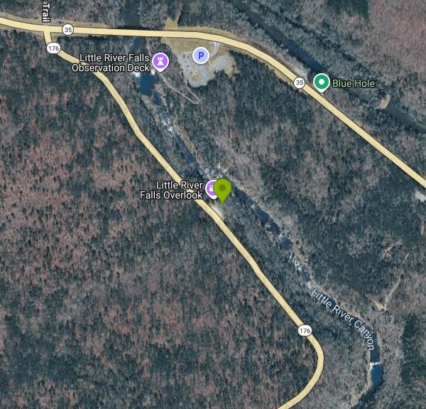
From Fort Payne, take Highway 35 east about 8 miles to the head of Little River Canyon, just after the Highway 35 bridge over the Little River. The falls overlook and boardwalk are right at the junction with the Little River Canyon Rim Parkway (Highway 176).

Other Swimming Holes Nearby
Martha's Falls
Fort Payne, Alabama
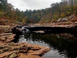
0.6 miles SMartha's Falls, also called Little Falls and known to locals as the "Hippie Hole," is the most beloved swimming hole in the Little River Canyon National Preserve near Fort Payne, Alabama, and one of...
Swim
Desoto State Park
Fort Payne, Alabama
7.5 miles NSet on scenic Lookout Mountain in northeast Alabama, this state park packs in rushing waterfalls, wildflowers, kayaking, mountain biking, rappelling, bouldering, and 94 RV campsites.
Hike, Kayak, Mountain Bike, Rock Climb, Swim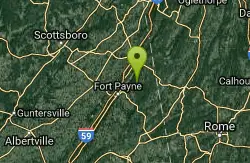
Desoto Area
Oxford, Alabama
7.6 miles NSwim near Oxford, Alabama
Swim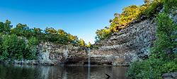
Desoto Falls
Mentone, Alabama
11.1 miles NAlabama's tallest waterfall, a 104-foot cascade with its own small canyon inside Desoto State Park — rich in Native American history and Spanish explorer legends, with upper and lower viewing areas.
Hike, Swim
Guntersville Area
Oxford, Alabama
22.4 miles WSwim near Oxford, Alabama
Swim
Conasauga Area
Cave Spring, Georgia
25.5 miles SESwim near Cave Spring, Georgia
Swim
Cave Spring
Cave Spring, Georgia
25.5 miles SEA cave-fed spring flows into a Georgia-shaped swimming pool in Rolator Park — then explore the cave itself for a one-of-a-kind small-town splash.
Swim
Blue Hole Pigeon
LaFayette, Georgia
27.0 miles NEA small, deep blue-green spring-fed pool — possibly a cave entrance — with divided pools, primitive camping nearby, and spelunking in the area; a Georgia Outdoor Recreational Pass is required.
Swim
Rockmart
Rockmart, Georgia
42.9 miles SEA concrete pump station platform over a dammed stretch of Thompson Creek on the Silver Comet Trail — reports say rocky water at low levels makes it best when the creek runs high.
Swim
Walls Of Jericho
Estillfork, Alabama
49.4 miles NWA massive 200-foot limestone waterfall in a wild Southern Cumberland Plateau amphitheater preserved by the Nature Conservancy — a strenuous 3.5-mile each-way hike to a clear green pool that may be deep enough to swim at higher water levels.
Swim


