


Martha's Falls
Fort Payne, Alabama
Swim
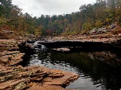
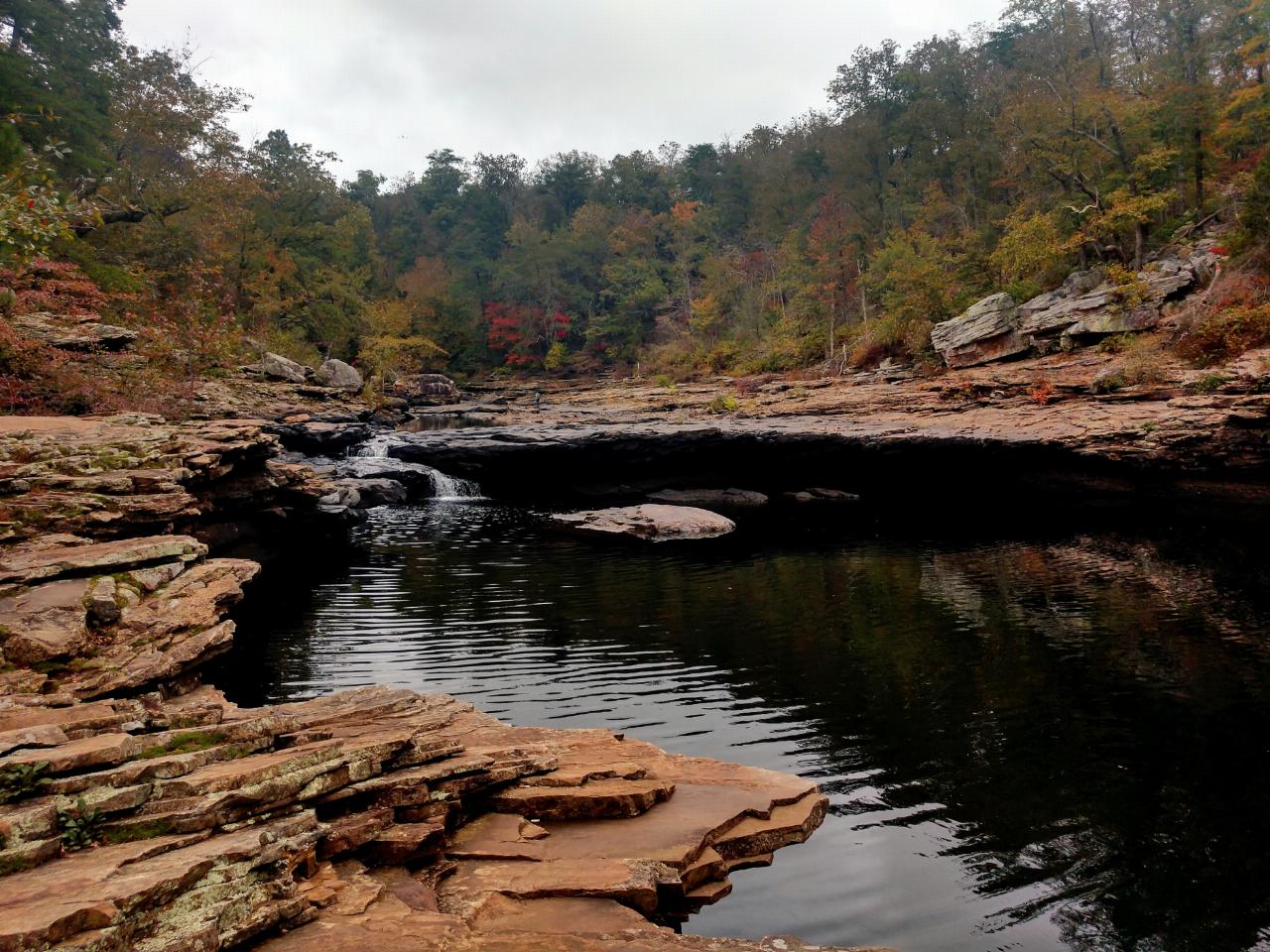
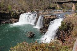
Martha's Falls, also called Little Falls and known to locals as the "Hippie Hole," is the most beloved swimming hole in the Little River Canyon National Preserve near Fort Payne, Alabama, and one of the most photographed spots in the state. It is not a tall waterfall but a wide one: the Little River slides over a broad, low shelf of sandstone into a generous pool whose water glows an almost unreal emerald green. That color is the tell of a sky-fed river running clear over pale stone, and the pool has been carved into the canyon floor over thousands of years, deep enough in the middle for real swimming and shallow at the edges for kids and waders.
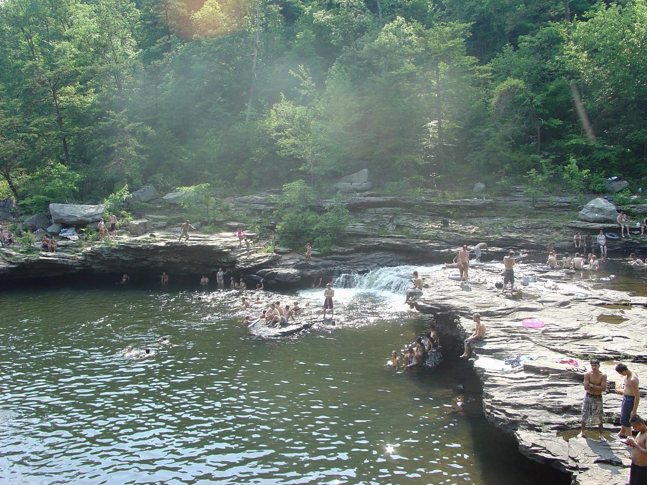
The low ledge is made for sliding and small jumps, and the rock walls around the pool give bolder swimmers a range of higher launch points, though how high is safe changes with the water level. On a hot Alabama afternoon it fills with families, teenagers and out-of-towners; international "best swimming holes" lists have found it in recent years, and summer weekends can be genuinely busy, so an early start or a weekday visit buys you more of the canyon to yourself.
Reaching the water is the price of admission. Parking is a lot off Highway 35 near County Road 861, and the trail down is close to a mile. It begins gently, an easy five-minute walk along a gravel service road, then turns left onto a rooted footpath and drops steeply over the last hundred yards of rocky ground to the canyon floor. The park has added stone steps on the steepest section, which helps, but the trail is still rated moderate-to-strenuous and can be slick when wet, and the climb back out in the heat is the hard part.
Facilities are deliberately minimal: there are no picnic tables and no trash service down at the water, dogs are welcome on a six-foot leash, and alcohol is not permitted anywhere in the preserve. The biggest thing to respect is the river itself. Levels and current rise fast after rain, the smooth rock gets slippery, and what looks like a calm pool can develop real pull, so it pays to look before you leap and to check conditions after a storm.
Late spring through early fall is the swimming season, midsummer the warmest and most crowded, the shoulder weeks quieter and cooler. Martha's Falls sits partway down the gorge from Little River Falls at the head of the canyon, so it pairs naturally with a stop at the falls overlook and a drive along the 22-mile Little River Canyon Rim Parkway. For clear green water in a rugged sandstone canyon, earned by a short, sweaty hike, it is hard to beat in the Southeast.
More Information
Little Falls (Hippy Hole) - Swim Guide
Little Falls, also known as Martha's Falls or "The Hippie Hole," is a popular swimming destination located within Little River Canyon National Preserve. The popularity of this area has increased in recent years due to international media coverage touting it as one of the nation's best swimming holes. The hike to the river from the parking area is roughly a mile. The addition of stone steps makes the hike down more manageable but it is still considered a moderate to strenuous trail. Be prepared to pack out what you pack in. There are no restrooms available at this site, so plan to go before you leave the parking area. We encourage visitors to foster an attitude of stewardship when visiting any of the sites on Little River, but especially this one due to the number of visitors and the distance of the hike in.
https://www.theswimguide.org/beach/8627/
- Plan Ahead and Prepare
- Travel & camp on durable surfaces
- Dispose of waste properly
- Leave what you find
- Minimize campfire impacts
- Respect wildlife
- Be considerate of other visitors
Directions
From Fort Payne, Alabama
- Head northeast on Gault Ave N toward 5th St (26 ft)
- Turn right onto 5th St (0.4 mi)
- Turn left onto AL-35 S/
Wallace Ave NE Continue to follow AL-35 S(7.3 mi) - Turn right onto AL-176 W (1.1 mi)
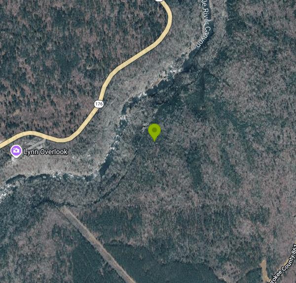
From Fort Payne, take Highway 35 east across the Little River. Parking is off Highway 35 near County Road 861. From the lot, follow the gravel service road about five minutes, bear left onto a rooted footpath, and descend a steep, rocky stretch to the canyon floor and the pool below Little Falls. The full walk is close to a mile and rugged in places.

Other Swimming Holes Nearby
Little River Falls
Fort Payne, Alabama
0.6 miles NLittle River Falls is the dramatic centerpiece at the head of the Little River Canyon National Preserve near Fort Payne, Alabama, on the line between DeKalb and Cherokee counties. Here the Little...
Swim
Desoto State Park
Fort Payne, Alabama
8.1 miles NSet on scenic Lookout Mountain in northeast Alabama, this state park packs in rushing waterfalls, wildflowers, kayaking, mountain biking, rappelling, bouldering, and 94 RV campsites.
Hike, Kayak, Mountain Bike, Rock Climb, Swim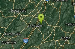
Desoto Area
Oxford, Alabama
8.1 miles NSwim near Oxford, Alabama
Swim
Desoto Falls
Mentone, Alabama
11.6 miles NAlabama's tallest waterfall, a 104-foot cascade with its own small canyon inside Desoto State Park — rich in Native American history and Spanish explorer legends, with upper and lower viewing areas.
Hike, Swim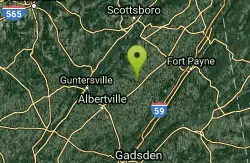
Guntersville Area
Oxford, Alabama
22.6 miles WSwim near Oxford, Alabama
Swim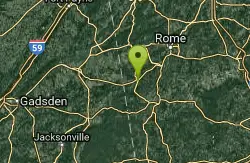
Conasauga Area
Cave Spring, Georgia
25.0 miles SESwim near Cave Spring, Georgia
Swim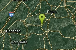
Cave Spring
Cave Spring, Georgia
25.0 miles SEA cave-fed spring flows into a Georgia-shaped swimming pool in Rolator Park — then explore the cave itself for a one-of-a-kind small-town splash.
Swim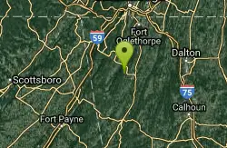
Blue Hole Pigeon
LaFayette, Georgia
27.4 miles NEA small, deep blue-green spring-fed pool — possibly a cave entrance — with divided pools, primitive camping nearby, and spelunking in the area; a Georgia Outdoor Recreational Pass is required.
Swim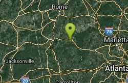
Rockmart
Rockmart, Georgia
42.5 miles SEA concrete pump station platform over a dammed stretch of Thompson Creek on the Silver Comet Trail — reports say rocky water at low levels makes it best when the creek runs high.
Swim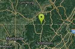
Walls Of Jericho
Estillfork, Alabama
49.9 miles NWA massive 200-foot limestone waterfall in a wild Southern Cumberland Plateau amphitheater preserved by the Nature Conservancy — a strenuous 3.5-mile each-way hike to a clear green pool that may be deep enough to swim at higher water levels.
Swim


