


Margaret Lindley Park
Williamstown, Massachusetts

| GPS: |
42°41'12.3"N 73°14'0.4"W Maps | Directions |
| State: | Massachusetts |
Swim

- Plan Ahead and Prepare
- Travel & camp on durable surfaces
- Dispose of waste properly
- Leave what you find
- Minimize campfire impacts
- Respect wildlife
- Be considerate of other visitors
Directions
From Williamstown, Massachusetts
- Head south on Spring St toward Bank St (0.2 mi)
- Turn right onto Walden St (0.2 mi)
- Turn right onto Hoxsey St (0.2 mi)
- Turn left onto Main St (0.2 mi)
- Turn left onto US-7 S (0.1 mi)
- Turn right onto US-7 S/Cold Spring Rd (2.2 mi)
- Turn right onto MA-2 W (0.1 mi)

Other Swimming Holes Nearby
Mount Hope Park
Williamstown, Massachusetts
1.3 miles SESwim near Williamstown, Massachusetts
Swim
Bellevue Falls
Adams, Massachusetts
8.0 miles SESwim near Adams, Massachusetts
Swim
Burbank Park Beach
Pittsfield
15.2 miles SPittsfield's free public swimming beach on Onota Lake, inside Burbank Park on Lakeway Drive, with a bath house, boat launch and lakeside path. Lifeguards are not hired every season, so check before you swim.
Canoe, Hike, Kayak, Swim
Windsor State Forest
Cummington, Massachusetts
18.4 miles SESwim near Cummington, Massachusetts
Swim
Petersburg Area
Copake Falls, New York
19.0 miles WSwim near Copake Falls, New York
Swim
Nassau Area
Ravena, New York
20.3 miles SWSwim near Ravena, New York
Swim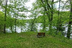
Ashfield Lake
Ashfield
24.7 miles SETown beach at Belding Memorial Park on Ashfield Lake in Ashfield, Massachusetts, with a buoyed swim area, diving dock and summer lifeguards. Free and open to everyone, not just residents.
Canoe, Kayak, Swim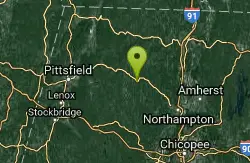
Cummington
Cummington, Massachusetts
25.1 miles SEA small, cool pond on the river with a wide sandy beach and a mostly gay social atmosphere — clothing is optional, and parking near Route 9 is limited.
Swim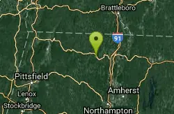
Glacial Potholes
Shelburne Falls, Massachusetts
25.8 miles ESwim near Shelburne Falls, Massachusetts
Swim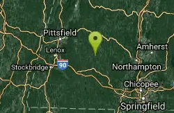
Glendale Falls
Chester, Massachusetts
26.9 miles SESwim near Chester, Massachusetts
Swim
Upper Goose Pond
Lee, Massachusetts
28.1 miles SSwim near Lee, Massachusetts
Swim
Greenfield Area
Southwick, Massachusetts
31.3 miles ESwim near Southwick, Massachusetts
Swim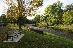
Green River Swimming and Recreation Area
Greenfield
31.8 miles EGreenfield's municipal swim area on the Green River, where a low dam backs the current into a cold, slow pool with a sand beach, a WPA era bathhouse and lawns full of shade trees.
Swim
Lake Mansfield Beach
Great Barrington
34.0 miles SGreat Barrington's free town beach on 29-acre Lake Mansfield, a short walk from downtown, with a sandy swim area, seasonal lifeguards, a picnic lawn and playground, and conservation forest trails.
Canoe, Hike, Kayak, Swim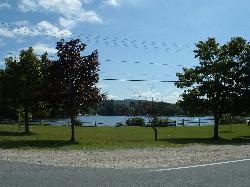
Monterey Town Beach
Monterey
34.4 miles SMonterey's lifeguarded town beach on the western tip of 275-acre Lake Garfield, off Tyringham Road. Free for residents; non-residents are asked for a voluntary $20 per vehicle per day.
Canoe, Kayak, Swim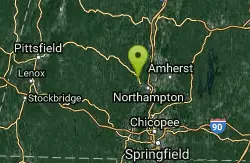
Orange Dam
Northampton, Massachusetts
35.6 miles SESwim near Northampton, Massachusetts
Swim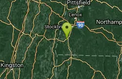
Green River
Southwick, Massachusetts
35.9 miles SSwim near Southwick, Massachusetts
Swim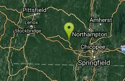
Huntington Area
Granville, Massachusetts
35.9 miles SESwim near Granville, Massachusetts
Swim
Buck River
Sandisfield, Massachusetts
40.6 miles SSwim near Sandisfield, Massachusetts
Swim
Pisgah State Park
Hinsdale, New Hampshire
40.7 miles EA clothing-optional swimming area at Kilburn Pond inside Pisgah State Park — separate from the park's Pisgah Reservoir, so be sure to head to the right body of water.
SwimNearby Campsites
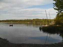
Thompson's Lake Beach
East Berne
41.2 miles WGuarded sandy beach on the north end of Thompson's Lake, inside Thacher State Park near East Berne. Open in summer with lifeguards, $7 per car, with boat rentals and a nature center next door.
Camp, Canoe, Hike, Kayak, Swim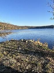
Lake Taghkanic State Park
Ancram
48.2 miles SWWest Beach at Lake Taghkanic State Park is a lifeguarded sand beach on a clear 168-acre lake off the Taconic Parkway near Ancram. Summer entry is $10 per car.
Camp, Canoe, Hike, Kayak, Swim


