


Green River Swimming and Recreation Area
Greenfield
Swim
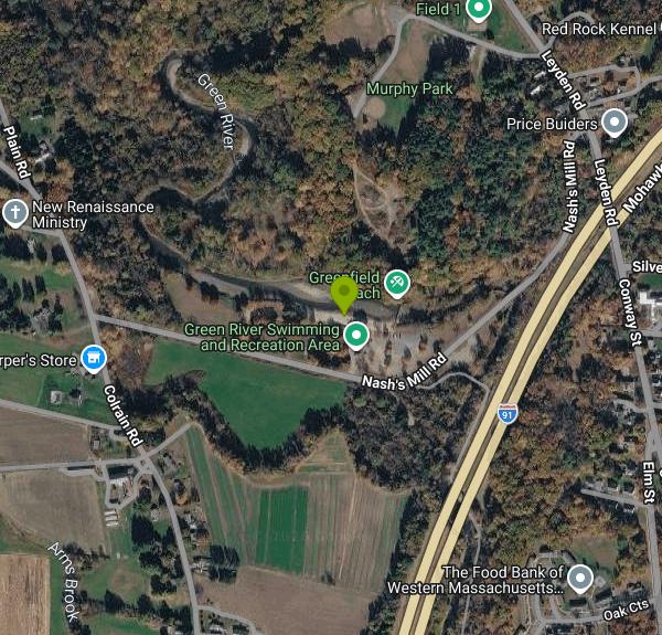
The Green River Swimming and Recreation Area is Greenfield's town swim spot, a 22 acre park on Nash's Mill Road where a low dam across the Green River backs the current up into a wide, slow pool. The town calls it an in stream swimming pool, which is exactly right. This is river water, not a chlorinated tank. Regulars call the deep water "The Pool," and the sand strip along the south bank shows up on maps as Greenfield Beach.
The Green River comes down out of the hills of Leyden and Colrain before it meets the Deerfield a short way below the park, and it carries that upland chill with it. Even in late July the water off the beach stays bracing, and the shaded upstream end of the impoundment runs colder still. Depth builds gradually from the sand, so the near edge suits small kids while the far side against the wooded bank goes well over your head. You can walk out onto the dam itself, which doubles as a footway.
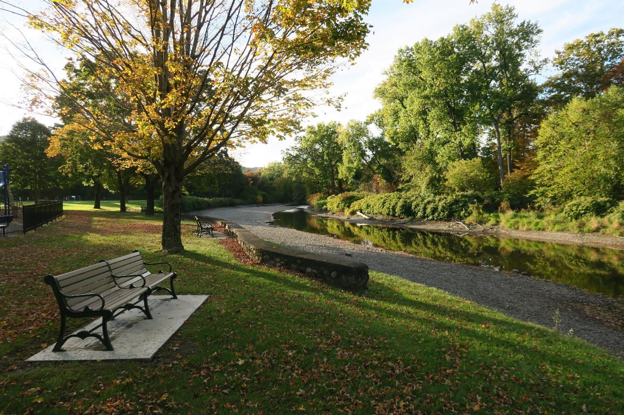
The south side holds the beach, a toddler play area, a fenced playground, restrooms and showers, a covered pavilion with a permanent grill, and a snack shack. A dozen benches sit along the back of the sand looking out over the water, and stone walls and steps laid by Depression era crews still edge the lawn. WPA workers put up a new bathhouse here in 1936, after the town took title to the land in two grants, one in 1929 and one in 1933. Cross the pedestrian bridge to the north side and you get roughly 35 numbered picnic tables under mature shade trees, no beach, and concrete stairs down into the river.
The 2026 season opens on the weekends of June 6 and June 13, runs seven days a week from June 20 through August 23, then finishes on the weekends of August 29 and September 5 through 7. Weekdays 11 to 7, weekends 10 to 8, snack shack noon to 6. Greenfield residents pay $5 adult, $4 youth and $3 senior at the gate. Non residents pay $10, $8 and $6. Under 3 is free and everyone pays half price after 5 pm. Season passes run $65 for a resident family and $95 for a non resident family.
Know the hazards before you drive up. Water quality is tested weekly under the state bathing beach code, and this stretch has a history of failing it. An E. coli spike delayed the 2024 opening, and cryptosporidium and giardia closed swimming for weeks in 2022, so check for a posted closure first. Heavy rain moves gravel and reshapes the channel, which means the bottom is not the same every year. Staff clear the river for lightning and reopen 30 minutes after the last thunder. Anyone under 9 needs a companion who is at least 16, and dogs are banned from June 1 through November 1. Parking is a gravel lot off Nash's Mill Road, and the Riverside Community Path links the park to downtown Greenfield about a mile and a half southeast.
More Information
After delay, Green River Swimming and Recreation Area sees first open weekend of season - Greenfield
GREENFIELD — The Green River Swimming and Recreation Area opened its swimming area this weekend, after the original opening date of June 1 was delayed due to a water quality test that showed elevated levels of E. coli.As required by the state...
https://recorder.com/2024/06/10/after-delay-green-river-swimming-and-recreation-area-sees-first-open-weekend-of-season-55534944/GREEN RIVER SWIM AREA - Dodson & Flinker - Landscape Architecture and Planning
Under the direction of the Greenfield Department of Planning and Development and the Greenfield Recreation Department, Dodson & Flinker led a team of
https://dodsonflinker.com/portfolio/green-river-swim-area/Greenfield Recreation Department l Green River Swimming & Recreation Area
Welcome to the Greenfield Recreation Department. We create community through people, parks, and programs!
https://www.greenfieldrecreation.com/greenriver.htmlGreenfield Recreation Department l Green River Swimming & Recreation Area l Hours and Fees
Welcome to the Greenfield Recreation Department. We create community through people, parks, and programs!
https://www.greenfieldrecreation.com/greenriverhoursandfees.html
- Plan Ahead and Prepare
- Travel & camp on durable surfaces
- Dispose of waste properly
- Leave what you find
- Minimize campfire impacts
- Respect wildlife
- Be considerate of other visitors
Directions
From Greenfield
- Head west on W Main St toward S Pennsylvania StMay be closed at certain times or days(0.4 mi)
- Turn right onto School St (341 ft)
- Turn left onto W North St (0.2 mi)
- Turn right onto N Broadway St (0.9 mi)
- At the traffic circle, take the 2nd exit and stay on N Broadway St (1.0 mi)
- Turn right onto W New Rd (0.5 mi)
- Turn left onto N State St (0.4 mi)
- Take the ramp onto I-70 E (44.1 mi)
- Slight left (4.3 mi)
- Merge onto I-70 EEntering Ohio(50.6 mi)
- Keep left to stay on I-70 E (45.7 mi)
- Take exit 93 for I-270 N/
I-270 S (0.2 mi) - Take the ramp to I-270 N (0.7 mi)
- Merge onto I-270 N via the ramp to Cleveland (16.3 mi)
- Take exit 26 for I-71 N/
I-71 S toward Cleveland/ Columbus (0.6 mi) - Take the ramp to I-71 N (85 ft)
- Slight left to merge onto I-71 N (102 mi)
- Take exit 220 for I-271 N toward Erie Pa (0.3 mi)
- Continue onto I-271 N (25.1 mi)
- Keep left to stay on I-271 N, follow signs for 271 N/
Erie Pa (15.0 mi) - Merge onto I-90 EToll roadPassing through PennsylvaniaEntering New York(447 mi)
- Slight right onto Governor Thomas E. Dewey Thruway/
NY State Thruway (signs for I-87 S/ New York/ Boston) (1.0 mi) - Continue onto I-87 S/
Governor Thomas E. Dewey Thruway/ NY State Thruway Toll road(13.6 mi) - Take exit 21A toward I-90 E/
Mass Tpke Toll road(1.0 mi) - Continue onto NY-912M EToll road(6.4 mi)
- Continue onto I-90 EToll roadEntering Massachusetts(63.1 mi)
- Take exit 45 to merge onto I-91 N toward Holyoke (32.4 mi)
- Take exit 43 for MA-2 W/
MA-2A E toward Greenfield Ctr/ North Adams (0.3 mi) - At the traffic circle, take the 3rd exit onto MA-2 W (0.3 mi)
- Turn right onto Colrain Rd (0.6 mi)
- At the traffic circle, continue straight to stay on Colrain Rd (0.8 mi)
- Turn right onto Nash's Mill Rd (0.3 mi)
- Turn leftDestination will be on the left(135 ft)
 The Green River sliding past the benches and gravel bar at the Green River Swimming and Recreation A courtesy of John Phelan↗ (CC BY-SA 4.0↗)
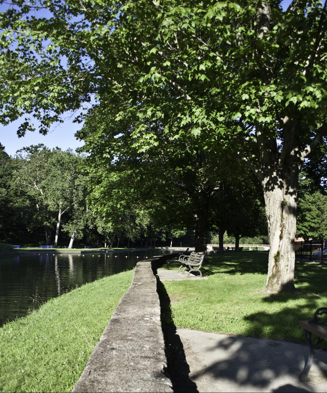
 The concrete wall and walkway along the dammed swimming pool, with the float line and the north side courtesy of davidpinter↗ (CC BY 3.0↗)
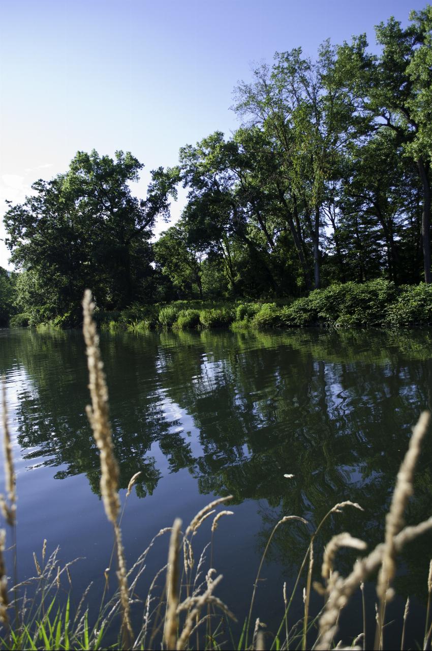
 Still water in the impoundment above the dam, the deep end locals call The Pool. courtesy of davidpinter↗ (CC BY 3.0↗)
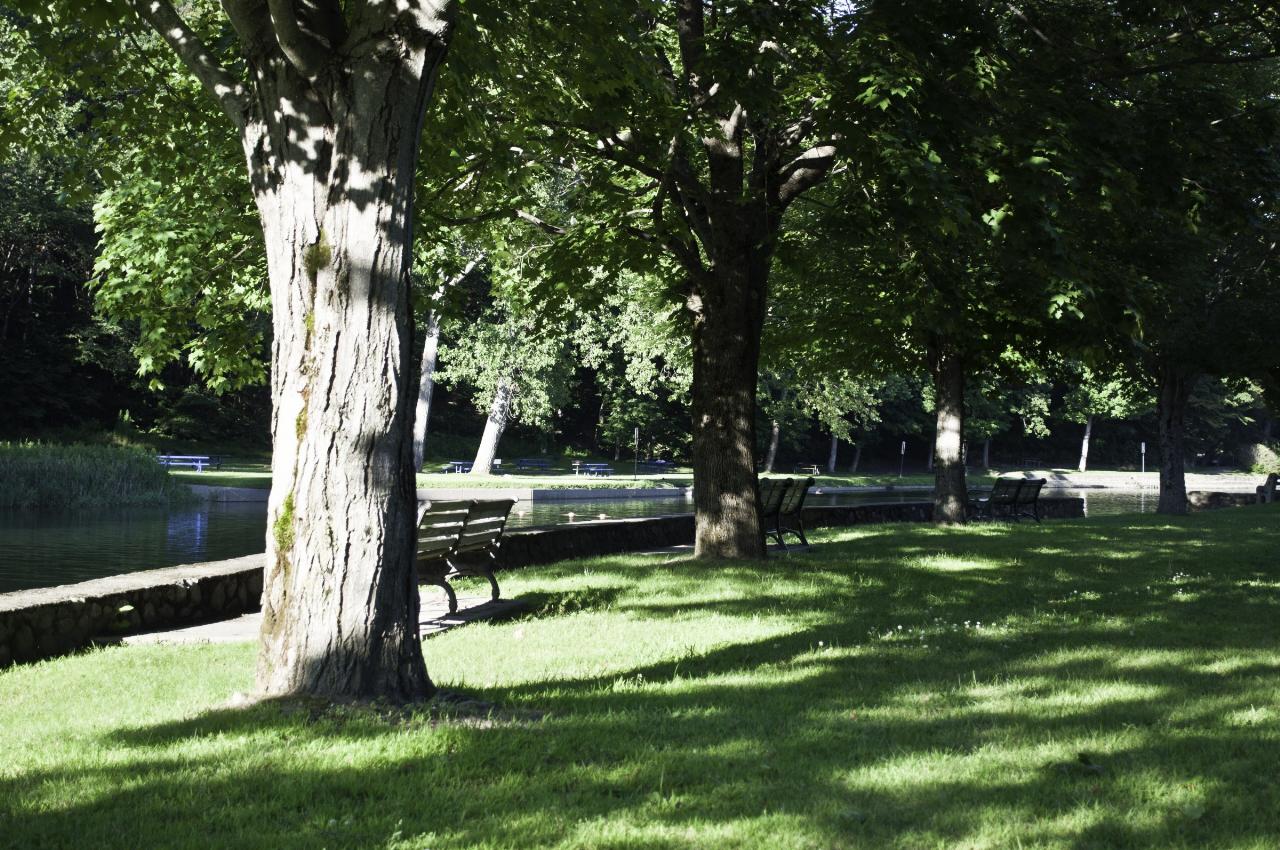
 Mature shade trees and benches on the lawn above the stone edged swimming pool. courtesy of davidpinter↗ (CC BY 3.0↗)
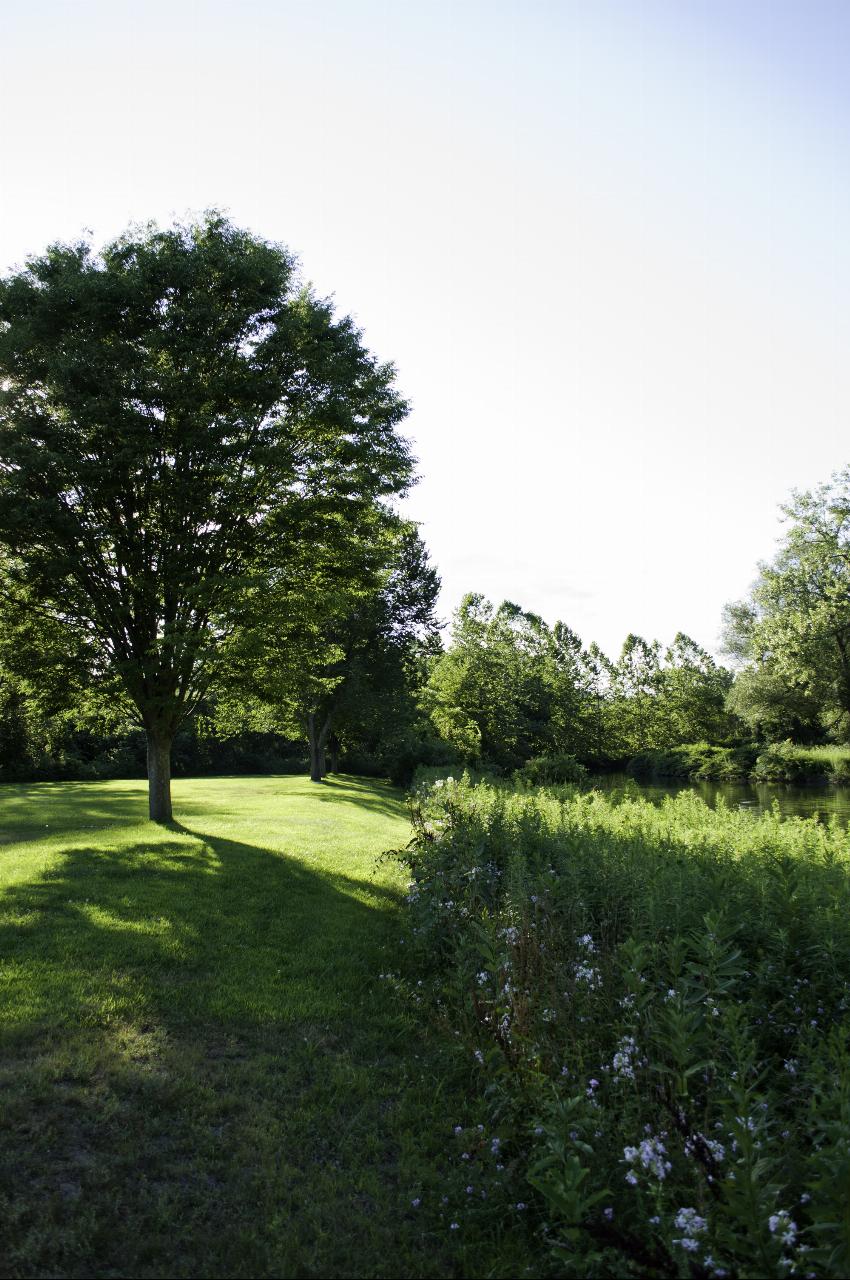
 Wildflowers along the riverbank where the mown lawn runs down to the Green River. courtesy of davidpinter↗ (CC BY 3.0↗)
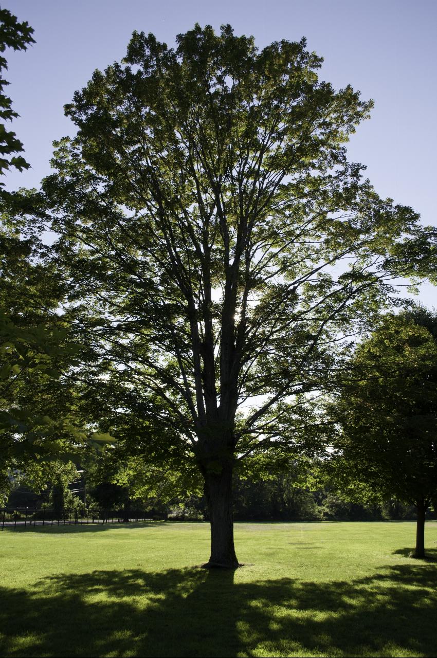
 One of the big maples on the open grass at the Green River Swimming and Recreation Area. courtesy of davidpinter↗ (CC BY 3.0↗)
Other Swimming Holes Nearby
Greenfield Area
Southwick, Massachusetts
2.8 miles NSwim near Southwick, Massachusetts
Swim
Glacial Potholes
Shelburne Falls, Massachusetts
6.2 miles WSwim near Shelburne Falls, Massachusetts
Swim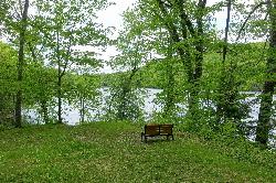
Ashfield Lake
Ashfield
10.6 miles SWTown beach at Belding Memorial Park on Ashfield Lake in Ashfield, Massachusetts, with a buoyed swim area, diving dock and summer lifeguards. Free and open to everyone, not just residents.
Canoe, Kayak, Swim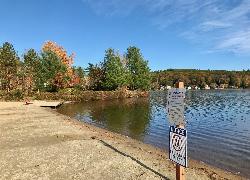
Lake Wyola State Park
Shutesbury
11.7 miles SEDCR's Carroll A. Holmes Recreation Area has a lifeguarded sand beach on the northwest shore of quiet Lake Wyola in Shutesbury, with a seasonal $8 (MA) or $30 (out-of-state) parking fee.
Canoe, Hike, Kayak, Swim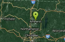
Puffers Pond
Amherst, Massachusetts
14.1 miles SSwim near Amherst, Massachusetts
Swim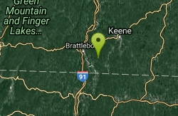
Pisgah State Park
Hinsdale, New Hampshire
16.6 miles NEA clothing-optional swimming area at Kilburn Pond inside Pisgah State Park — separate from the park's Pisgah Reservoir, so be sure to head to the right body of water.
Swim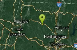
Cummington
Cummington, Massachusetts
17.1 miles SWA small, cool pond on the river with a wide sandy beach and a mostly gay social atmosphere — clothing is optional, and parking near Route 9 is limited.
Swim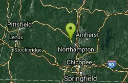
Orange Dam
Northampton, Massachusetts
17.8 miles SSwim near Northampton, Massachusetts
Swim
Royalston Falls
Royalston, Massachusetts
19.9 miles ESwim near Royalston, Massachusetts
Swim
Windsor State Forest
Cummington, Massachusetts
20.1 miles WSwim near Cummington, Massachusetts
Swim
Doane Falls
Royalston, Massachusetts
21.3 miles ESwim near Royalston, Massachusetts
Swim
Glendale Falls
Chester, Massachusetts
25.1 miles SWSwim near Chester, Massachusetts
Swim
Bellevue Falls
Adams, Massachusetts
25.9 miles WSwim near Adams, Massachusetts
Swim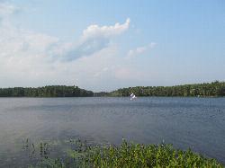
Lake Dennison Recreation Area
Winchendon
27.1 miles EA DCR-run state recreation area in Winchendon with a sandy beach on Lake Dennison, a wooded Army Corps lake. Summer parking is $8 for Massachusetts plates and $30 for others.
Camp, Canoe, Hike, Kayak, Swim
Huntington Area
Granville, Massachusetts
28.3 miles SWSwim near Granville, Massachusetts
Swim
Mount Hope Park
Williamstown, Massachusetts
30.6 miles WSwim near Williamstown, Massachusetts
Swim
Surry Mountain Lake Beach
Surry
31.4 miles NEA free Army Corps of Engineers beach on Surry Mountain Lake, six miles north of Keene, with a long sandy swim area, no lifeguards, and weekly water testing that sometimes brings summer bacteria advisories.
Canoe, Hike, Kayak, Swim
Margaret Lindley Park
Williamstown, Massachusetts
31.8 miles WSwim near Williamstown, Massachusetts
Swim
Contoocook Beach
Jaffrey
33.6 miles NEContoocook Beach is the Town of Jaffrey's sand beach on 344-acre Contoocook Lake, with a buoyed swim area, a bathhouse and concession stand, and Mount Monadnock filling the skyline across the water. Swimming is free for everyone, but the parking lot is re
Canoe, Hike, Kayak, Swim
Burbank Park Beach
Pittsfield
34.9 miles WPittsfield's free public swimming beach on Onota Lake, inside Burbank Park on Lakeway Drive, with a bath house, boat launch and lakeside path. Lifeguards are not hired every season, so check before you swim.
Canoe, Hike, Kayak, Swim


