


Van's Beach
Leland
Kayak and Swim
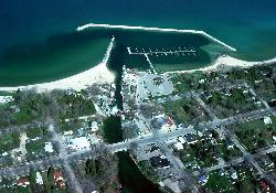
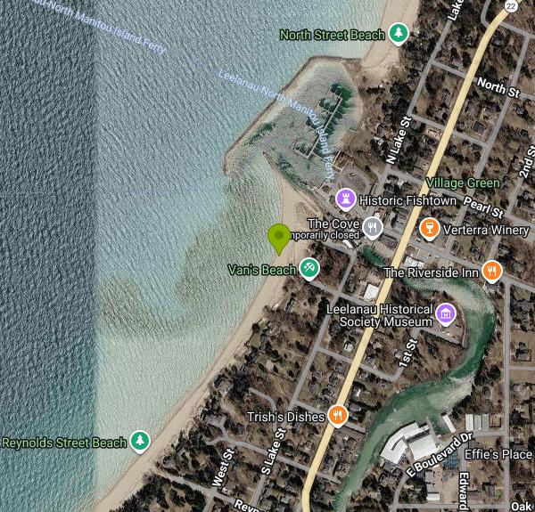
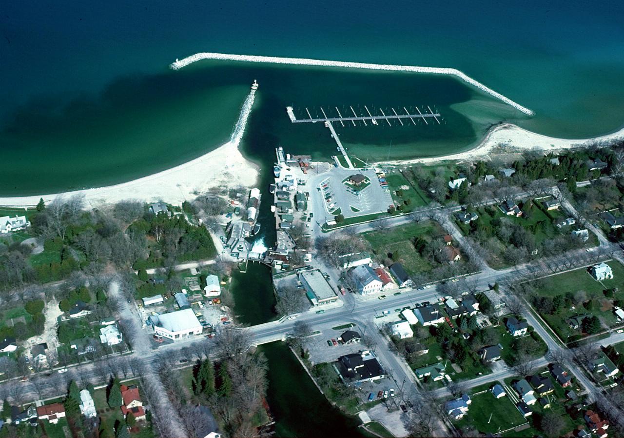
Van's Beach is the public Lake Michigan beach on the south side of the Leland harbor breakwall in the village of Leland, on the west shore of the Leelanau Peninsula. Leland Township owns and maintains it and lists it as Halls (Vans) Beach. The northern piece, about 240 feet of shoreline at the foot of the breakwall known as Hall Beach, was bought by the township in 1996 with most of the money coming from the Leelanau Conservancy and the Michigan Natural Resources Trust Fund, and the Conservancy still lists it as one of its natural areas. Together the two parcels form one continuous stretch of sand running south from the harbor mouth and Fishtown.
Getting there is simple. From M-22 in downtown Leland, take Cedar Street west toward the lake; the path to the sand starts at the end of the street just past Van's Garage (the listed address is 205 Cedar Street). The township lists parking at the site, but the lot is small, and on busy summer days it is easier to park in town and walk the few blocks. The township provides a seasonal porta-potty at the beach. Public restrooms are available at the Leland harbor next to Fishtown.
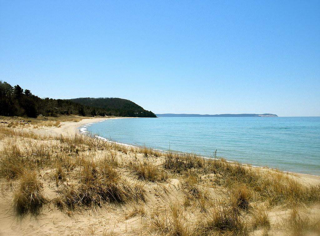
The beach is a broad strip of pale sand that faces west across open Lake Michigan toward the Manitou Islands. The water stays fairly shallow for a good distance out on calm days, which makes it popular with families, and the waterline is lined with pebbles and cobbles where people search for Leland Blue, the blue slag stone left over from the iron smelter that ran in Leland in the late 1800s. Lake Michigan here is cold: expect water in the 60s F in a typical July and August, colder after a strong offshore wind turns the lake over. There are no lifeguards at Van's Beach, so swimming is at your own risk.
There is no fee to use the beach. Leland Township parks and water access sites are open to the public daily from sunrise until one hour past sunset, and that is the window to plan around. The Leelanau Conservancy lists leashed pets as permitted on the Hall Beach parcel; check the township signs at the trailhead for current rules.
Wind is the main hazard. On a west or southwest wind, waves build quickly and can break hard on the shore, and water moving along the breakwall can pull swimmers away from the beach, so stay well clear of the rocks and stay out when the surf is up. The Benzie-Leelanau District Health Department samples Van's Beach for E. coli each week during the summer, with results posted on its website and on the state BeachGuard system. Bacteria levels tend to rise after heavy rain and wind, so check the latest result before swimming after a storm.
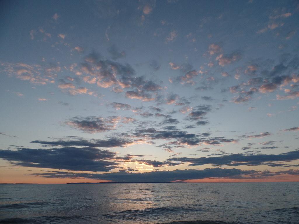
Fishtown, with its weathered shanties, fish market and shops, sits a short walk north, and the ferry to the Manitou Islands leaves from the same harbor. The beach is also one of the best places in Leland to watch the sun go down over the islands.
More Information
Beach Monitoring | Benzie-Leelanau District Health Department
Beach Monitoring Warm weather makes our local public swimming beaches a popular recreation choice. To be sure public bathing beaches are safe for swimming, the BLDHD partners with The Watershed Center Grand Traverse Bay to test nine public bathing beaches in the district for water quality during the summer swimming season. The water is tested for the indicator organism E. coli each week.
https://www.bldhd.org/beach-monitoring/Beach testing underway, Van’s Beach added
The Watershed Center Grand Traverse Bay began its annual beach testing last Wednesday, June 12. Twenty area beaches in Benzie, Grand Traverse, and Lee...
https://www.leelanaunews.com/article/2148,beach-testing-underway-van-s-beach-addedBeaches — Leland, MI
Light Up Leland is on Friday, November 27 at 6 pm! We hope to see you there!
https://www.lelandmi.org/beachesHall Beach | Leland, MI 49654
Hall Beach (adjacent to “Van’s Beach”) features crashing waves, blue skies and sugar sand. Protected in 1996, Hall beach preserves both Leland’s community character and its scenic view of Lake Michigan. The beach area was made possible by the Hall Family and the Michigan Natural Resources Trust Fund. It lies at the base of the break wall and connects Fishtown to the rest of the public beach known as “Vans Beach” to the south. Linked together, these areas create an uninterrupted protected area for both wildlife and public to enjoy. A favorite place for watching Lake Michigan sunsets, Hall Beach also protects historic Fishtown from future commercial development. Nearly 240 feet of shoreline along Lake Michigan and 300 feet along the Leland Harbor are forever protected. The Leelanau Conservancy and the Michigan Natural Resources Trust Fund provided over 90 percent of the funding for its purchase by Leland Township. Photo by Jeff Ripple for Leelanau Conservancy
https://www.traversecity.com/listings/hall-beach/4770/Hall Beach – Leelanau.com
Search Menu Menu Blog Hall BeachApril 15, 2008/in Leelanau Also known as Vans, and located on the best stretch of beach in Leelanau County (then again aren’t they all), Hall Beach is right next to the south side of the Leland Harbor breakwall. The beach is perfect sand and the floor of the lake is the same, no rocks to hurt your feet. The lake can range from perfectly calm to totally windy with waves breaking over the breakwall, but either way it is a great beach to play on.
https://leelanau.com/hall-beach/Hall Beach-Leland - The Leelanau Conservancy
Hall Beach (adjacent to “Van’s Beach”) features crashing waves, blue skies and sugar sand. Protected in 1996, Hall beach preserves both Leland’s community Hall Beach--Leland
https://leelanauconservancy.org/naturalarea/hall-beach/Van's Beach | Leland, MI 49654
Van's Beach is a public, sugar sand beach just beyond Van's Garage, and is a local favorite. The trail head to the beach is just past Van's Garage at the end of Cedar Street in downtown Leland.
https://www.traversecity.com/listings/vans-beach/384/
- Plan Ahead and Prepare
- Travel & camp on durable surfaces
- Dispose of waste properly
- Leave what you find
- Minimize campfire impacts
- Respect wildlife
- Be considerate of other visitors
Directions
From Leland
- Head northeast on N Broad St/
Old Hwy 61 toward 4th St Continue to follow Old Hwy 61(1.6 mi) - Turn right toward US-278 E/
US-61 N (144 ft) - Turn left onto US-278 E/
US-61 N Continue to follow US-61 NPass by Dollar General (on the right in 14.3 mi)(95.8 mi) - Continue straight to stay on US-61 NEntering Tennessee(34.2 mi)
- Turn left onto Horn Lake Rd (0.6 mi)
- Continue onto New Horn Lake Rd (2.1 mi)
- Continue onto Kansas St (0.2 mi)
- Turn left to merge onto I-55 N toward St LouisEntering Arkansas(11.4 mi)
- Keep right to stay on I-55 N, follow signs for Blytheville (7.9 mi)
- Continue onto US-61 N/
US-78 (6.8 mi) - Continue onto I-55 NEntering Missouri(116 mi)
- Take exit 66A to merge onto I-57 N/
US-60 E toward Chicago Continue to follow I-57 NEntering Illinois(118 mi) - Slight right to stay on I-57 N (signs for Chicago) (62.0 mi)
- Merge onto I-70 (5.3 mi)
- Slight left onto I-57 (182 mi)
- Take exit 345A to merge onto I-80 E toward Indiana/
I-294 Toll road(3.4 mi) - Keep left to stay on I-80 EToll roadEntering Indiana(23.7 mi)
- Continue onto I-94 EEntering Michigan(63.8 mi)
- Take exit 34 for I-196 N/
US-31 N toward Holland/ Grand Rapids (1.2 mi) - Continue onto I-196 N/
US-31 N Continue to follow I-196 N(76.0 mi) - Take exit 77A on the left to merge onto US-131 N toward Cadillac (90.1 mi)
- Take exit 176 for M-115/
M-55 toward Manistee/ Frankfort/ Clare (0.4 mi) - Turn left onto M-115 W/
M-55 W Continue to follow M-115 W(20.9 mi) - At the traffic circle, take the 1st exit onto M-37 N/
N 13 Rd (6.9 mi) - Turn left onto N 13 Rd (0.7 mi)
- Continue onto Co Rd 633 (14.6 mi)
- Turn left onto Secor Rd (1.5 mi)
- Turn right onto E Long Lake Rd (2.1 mi)
- Turn left onto N Long Lake Rd (0.1 mi)
- Turn right onto Strait Rd (0.9 mi)
- Turn left onto Cedar Run Rd (2.7 mi)
- Turn right onto Goodrick Rd (1.1 mi)
- Continue onto S Cedar Rd (5.3 mi)
- Continue onto County Rd 651 N/
S Kasson St Continue to follow County Rd 651 N(6.9 mi) - Turn right onto M-22 N/
Pure Michigan Byway (6.1 mi) - Turn left onto Cedar St (456 ft)




Other Swimming Holes and Kayaking Areas Nearby
West End Beach
Traverse City
18.5 miles SA free city beach on the West Arm of Grand Traverse Bay, along Grandview Parkway just west of downtown Traverse City, with open Lake Michigan bay water, sand volleyball and the TART Trail behind it.
Swim
Dam Beach
Elk Rapids
19.0 miles SEFree Village of Elk Rapids beach on East Grand Traverse Bay beside the Elk Rapids hydroelectric dam, with a sandy bottom, a small lot off Dam Road, and a busy fishing spot at the river mouth.
Kayak, Swim
North Bar Lake
Empire
19.3 miles SWA small, shallow inland lake in Sleeping Bear Dunes National Lakeshore near Empire, warmer than Lake Michigan and separated from it by a low sand bar you can walk across in a couple of minutes.
Canoe, Kayak, Swim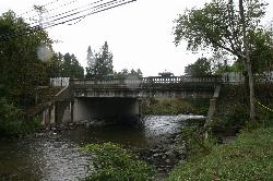
Richardi Park
Bellaire
27.3 miles EA free village swimming beach on the Intermediate River impoundment at the head of Richardi Dam, a block north of downtown Bellaire. There is no lifeguard, and the county health department posts weekly E. coli results for this beach all summer.
Canoe, Hike, Kayak, Swim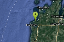
Sleeping Bear
Honor, Michigan
27.9 miles SWSwim near Honor, Michigan
Swim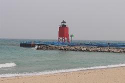
Michigan Beach Park
Charlevoix
31.7 miles NEFree city beach on open Lake Michigan beside the Charlevoix South Pier Light, with 2,000 feet of sand, a rocky shoreline band, restrooms and a playground. No dogs, and keep clear of the pier.
Hike, Swim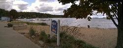
Beulah Public Beach
Beulah
31.8 miles SWA free village beach at the east end of Crystal Lake, with several hundred feet of sand and a marked swim area that shelves out shallow and warm. The Village of Beulah owns it and charges nothing to swim or to park, but dogs are banned and the weekly E. c
Canoe, Hike, Kayak, Swim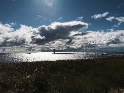
Frankfort Lake Michigan Beach
Frankfort
36.0 miles SWFrankfort's free city beach on Lake Michigan at the west end of Main Street, with soft sand, a playground and swings, and the pier out to the North Breakwater Light. Unguarded; watch the SwimSmart warning lights.
Hike, Swim
Zorn Park Beach
Harbor Springs
46.8 miles NEThe City of Harbor Springs' free public swim beach on Little Traverse Bay, with a swim platform, seasonal lifeguards until 6 PM, and cold spring-fed water steps from downtown.
Swim


