


123 Mountain Bike Trails near East Maricopa Floodway
first prev 1 2 3 4 5 6 7 next lastShowing Mountain Bike Trails within 50 miles Distance miles of Roosevelt WCD Canal Road, Mesa, AZ 85205, USA City, Zip, or Address
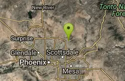
Phoenix Mcdowell / Wingate Pass / Bell Pass
Scottsdale, Arizona
18.0 miles NWThe trailhead has water, bathrooms, etc. The trail starts off shared with other short walking trails and such, then quickly becomes a steep and rocky ascent, with some nice flowing...
Mountain Bike 3.6 mi
Charles M. Christiansen Memorial Trail
Phoenix, Arizona
18.1 miles NWPhoenix, Arizona is home to some of the best and largest city parks in the country and the Charles M. Christiansen Memorial Trail is a great introduction to this fantastic park system. Also known as...
Hike, Horseback, Mountain Bike 7.1 mi
Trail 100
Phoenix, Arizona
18.1 miles NWMountain Bikers and Hikers in Phoenix, Arizona can rejoice in the challenge that is Trail 100. Trail 100, or Charles M. Christensen Memorial Trail, is a little over 14 miles out and back in the...
Hike, Mountain Bike 0.6 mi
Horseshoe Trail
Scottsdale, Arizona
18.2 miles NWHorseshoe trail is a short, fun singletrack with a lot of quick turns created by wash areas and rocks. It's a nice warm-up heading to Gateway Loop Trail. In some areas there are a lot of cactus,...
Hike, Horseback, Mountain Bike 2.3 mi
Hidden Valley Trail Via Mormon Trail
Phoenix, Arizona
18.3 miles WHidden Valley Trail via Mormon Trail is a 2-4 mile hike, depending on the route you choose to take and how much additional exploring you do. This hike offers a natural rock tunnel, petroglyphs,...
Hike, Mountain Bike 1.9 mi
Ruth Hamilton Trail
Phoenix, Arizona
18.6 miles NWHike and Mountain Bike near Phoenix, Arizona
Hike, Mountain Bike 1.7 mi
Quartz Ridge Trail
Phoenix, Arizona
18.7 miles NWThis is a very popular trail on weekend mornings. Casual hikers can get great views of Phoenix with moderate effort. Good place to bring out of town visitors The Quartz Ridge Trail is a short,...
Hike, Mountain Bike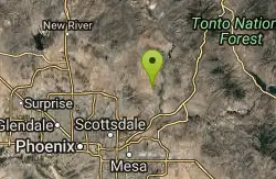
Pemberton Loop
Fort McDowell, Arizona
18.9 miles NThere are many places to start this loop from really as it crosses other trails and the main road twice. The 15 mile loop can be cut in half or about more by either the Tonto Tank tr or...
Mountain Bike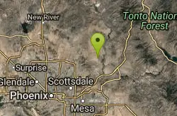
McDowell Mountain Park
Fort McDowell, Arizona
19.0 miles NThis trail is great. It is not as rocky as other Phoenix area trails( ie: Trail 100, National, Estrella Mtn Park). Twisty singletrack on rolling contour. The surface consists of small...
Mountain Bike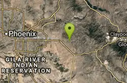
Secret, Tech & K
Gold Canyon, Arizona
19.0 miles EFrom the parking lot start riding the main trail by the sign. Ride about 30 feet and then take the single track trail to the right. This is called the Horse Trail and leads to all of...
Mountain Bike 2.6 mi
L.V. Yates Trail (#8)
Phoenix, Arizona
19.1 miles NWThe trail is strewn with large rocks and gulleys from recent torrential rains. Not impassable on foot, but definitely some hike-a-bike areas. Keep in mind there's no ridge hiking...
Hike, Horseback, Mountain Bike 4.6 mi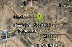
Mystery Loop
Phoenix, Arizona
19.1 miles NWThe trail is a nice combination of technical rock trail, washes, and climbs. There is a large network of trails to make the ride longer or shorter depending upon your needs. These trails cross over...
Mountain Bike
Wagner-Granite-Bluff Trails
Scottsdale, Arizona
19.2 miles NHike and Mountain Bike near Scottsdale, Arizona
Hike, Mountain Bike
Wagner Trail
Scottsdale, Arizona
19.2 miles NWagner Trail is a 2.2 mile, beginner to intermediate loop trail located in the McDowell Sonoran Preserve. The trail is well-marked and easy to follow; this wide, but rugged...
Hike, Horseback, Mountain Bike 2.5 mi
Hidden Valley from Buena Vista Trail
Phoenix, Arizona
19.4 miles WFor an easily accessible trail, butting right up against Phoenix’s southern border, it is truly surprising how special, quiet and natural the hike through Hidden Valley is! The path...
Hike, Mountain Bike
Tom's Thumb Trail
Scottsdale, Arizona
19.8 miles NTom's Thumb Trail is a popular trail on the McDowell Sonoran Preserve due to its unique thumb-like granite rock formation. This is a 4.7 out-and-back, intermediate trail because of its 1,200...
Hike, Mountain Bike, Rock Climb 2.2 mi
Marcus Landslide Trail
Scottsdale, Arizona
19.8 miles NThe Marcus Landslide Trail is named after ASU professor Melvin Marcus, a renouned geographer, after the discovery and recognition of the interesting geographical area in 2002. More than 500,000...
Hike, Horseback, Mountain Bike, Rock Climb 4.8 mi

Trail 1A
Phoenix, Arizona
20.5 miles NWThe trail can be accessed from the Dreamy Draw Park parking lot. From there, the trail can be ridden south towards its origin, or east (the trail makes an "L" shape). It is a mix of double...
Mountain Bike 4.6 mi
Perl Charles Memorial Trail (#1A)
Phoenix, Arizona
20.5 miles NWThis is a technical singletrack loop with some very steep up and down sections located in the Phoenix Mountain Preserves. This trail is for advanced riders who like to bleed and leave their skin on...
Hike, Horseback, Mountain Bike 1.3 mi
Dreamy Draw Loop Trail
Phoenix, Arizona
20.5 miles NWThe Dreamy Draw Nature Trail is a short multi-access loop trail that provides a true Sonoran Desert experience. The trail crosses a number of desert washes and, at times, becomes somewhat rocky....
Hike, Horseback, Mountain Bike


