


Pictured Rocks
Shingleton, Michigan
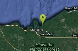
| GPS: |
46°29'45.8"N 86°32'22.9"W Maps | Directions |
| State: | Michigan |
Swim
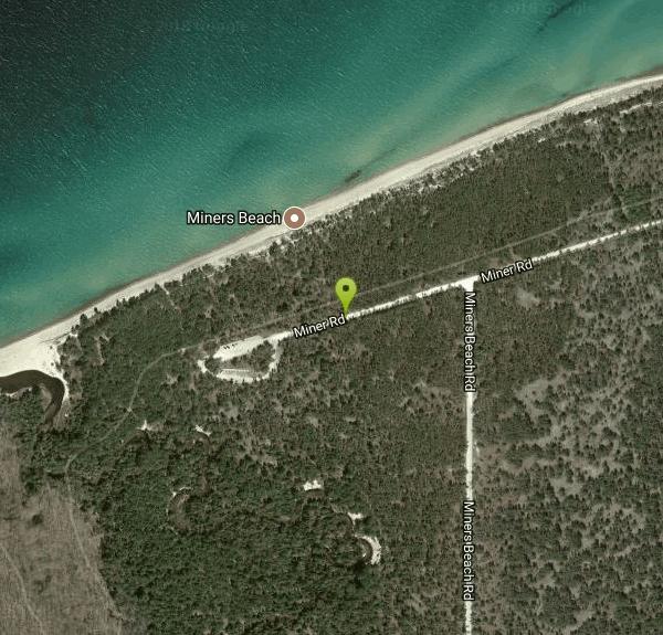
Miner's Beach is in the Pictured Rocks National Lakeshore on the north side of the Upper Peninsula in a protected part of Lake Superior. Framed by the Pictured Rocks, it is a beautiful and little-used beach.Courtesy of swimmingholes.org
Bathing suits: May be optional

- Plan Ahead and Prepare
- Travel & camp on durable surfaces
- Dispose of waste properly
- Leave what you find
- Minimize campfire impacts
- Respect wildlife
- Be considerate of other visitors
Directions
From Shingleton, Michigan
- Head north on Shingleton Rd N toward Park St (4.9 mi)
- Turn left onto Adams Trail (3.9 mi)
- Turn right onto Miners Castle Rd (5.0 mi)
- Slight right onto Miners Beach Rd (1.0 mi)
- Turn left onto Miner Rd (0.1 mi)
to add photos & videos and suggest edits
Edit Review
Delete Review
Other Swimming Holes Nearby
Add Location


Hurricane River Beach (Pictured Rocks)
Grand Marais, Michigan
21.4 miles NELake Superior beach where the Hurricane River comes out at Pictured Rocks, with a 22-site campground on the bluff, shipwreck timbers in the sand and the Au Sable Light a mile and a half east.
Camp, Hike, Swim
Sable Falls Beach
Grand Marais, Michigan
27.7 miles NELake Superior beach where Sable Creek reaches the lake below 75-foot Sable Falls, at the east end of Pictured Rocks National Lakeshore a mile from Grand Marais.
Hike, Swim
South Beach Park
Marquette
40.5 miles WA free city beach at the south end of the Marquette waterfront, where a rock break wall and a long shallow sandy shelf make Lake Superior swimmable earlier in the summer than anywhere else in town.
Kayak, Swim
Farquar Metsa Park
Gwinn, Michigan
45.4 miles WSwim near Gwinn, Michigan
Swim


