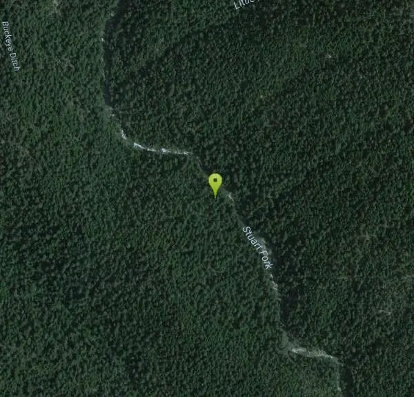
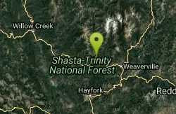
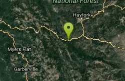
Stuarts Fork Swimming Hole
Trinity Center, California
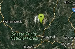
| GPS: |
40°54'6.1"N 122°56'33.0"W Maps | Directions |
| State: | California |
Swim
The Stuart Fork is one of the great swimming corridors of the Trinity Alps Wilderness, a clear mountain river running through the Shasta-Trinity National Forest of northern California, threaded by a trail that strings together pool after pool on its way into the high country. Rather than a single named swimming hole, this is a stretch of river with a series of them, each worth the walk, set in granite-and-conifer country that draws comparison to the Sierra without the crowds. For hikers and backpackers, cooling off in the Stuart Fork is half the reason to be here.
The Stuart Fork Trail runs about 13 miles to the celebrated Emerald and Sapphire Lakes, starting near Bridge Camp roughly three miles off California Highway 3, north of Weaverville in Trinity County. The trail is well kept, easy to follow and only moderately graded for most of its length, which is what makes the swimming so accessible: you can walk in a few miles, find water, and turn around without committing to the full backpack.
Two spots stand out. About 4.5 miles from the trailhead, the trail crosses Deep Creek on a footbridge, where an inviting swimming hole sits at the base of a waterfall. That one deserves real caution, as the current through it is swift and the rocks downstream are treacherous, which matters more than the pool's inviting look suggests. Just over seven miles in, the path crosses Deer Creek on a steel bridge, where another pristine hole waits, generally calmer and a favorite reward for those going deeper. Beyond that, around mile nine, Morris Meadow opens up, an idyllic meadow with one of the best late-summer wildflower displays in the Alps, yarrow, Indian paintbrush and lupine growing in profusion, with campsites scattered through the forested fringes.
May through October is the practical season, with early summer bringing high, cold, fast water off the snowpack and late summer settling into the friendliest swimming conditions. The corridor is popular for backpacking, camping and fishing, and a wilderness permit and the usual Trinity Alps regulations apply, so it's worth checking with the Shasta-Trinity National Forest before a trip.
Come prepared for a real wilderness outing even on a day hike: plenty of water and a way to treat more, sturdy footwear for the rocky trail and slick creek rock, sun protection, and layers, since mountain weather shifts fast. Cell coverage is nonexistent, so leave a plan with someone. Whether you walk in four miles for an afternoon swim or push through to Emerald Lake, the Stuart Fork is one of the finest and least-appreciated stretches of swimming water in northern California.
More Information
Stuart Fork Trail Hiking Trail, Weaverville, California
Hike to two alpine lakes at the headwaters of Stuart Fork. Near Weaverville, California.
https://www.hikingproject.com/trail/7025127/stuart-fork-trail
- Plan Ahead and Prepare
- Travel & camp on durable surfaces
- Dispose of waste properly
- Leave what you find
- Minimize campfire impacts
- Respect wildlife
- Be considerate of other visitors
Directions
From Trinity Center, California
- Head west on Airport Rd toward CA-3 N (459 ft)
- Turn left onto CA-3 S (15.9 mi)
- Turn right onto Trinity Alps RdDestination will be on the left(6.2 mi)
Located in Trinity County, California, United States