


Sunny Beach Point
Eatonville
Swim
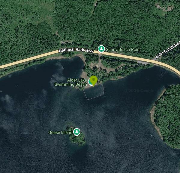
Sunny Beach Point is a 9-acre day-use park on the north shore of Alder Lake, run by Tacoma Power (Tacoma Public Utilities) as part of its Alder Lake Park. Alder Lake is a seven-mile reservoir on the Nisqually River, held back by Alder Dam, which the utility finished in the mid-1940s. The park sits on a low, grassy point that reaches south into the lake right off State Route 7, roughly 10 miles south of Eatonville in rural Pierce County, with forested ridges on every side.
From Tacoma, take I-5 south to SR 512, go east about 2 miles, then follow SR 7 (Pacific Avenue) south for about 27 miles to the main Alder Lake Park turnoff at School Road. Stay on SR 7 for roughly another half mile toward Elbe and the Sunny Beach Point lot is on the lake side of the highway (50316 Mountain Hwy. E.). Parking is limited. Tacoma Power says that once its day-use lots fill, staff may turn more visitors away, so on hot summer weekends it pays to arrive early.
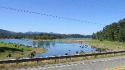
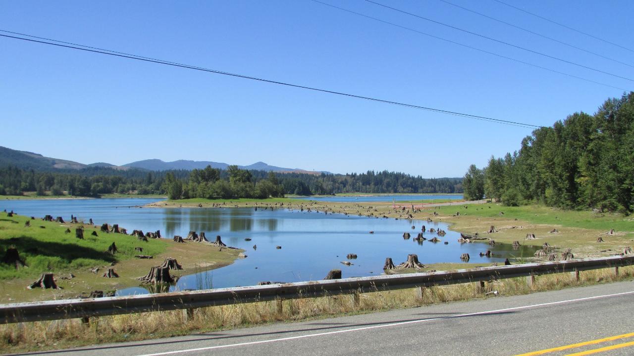
The swim and sunning area is on the point itself, with a mowed lawn running down to the water. It opens May 15 and closes Sept. 15, and even inside that window it only opens when the lake is high enough. Alder Lake's full pool is 1,207 feet, and the level moves with dam operations and snowpack. In drought years the swim area can dry out completely. When the water drops, the shallow bay beside the point turns into mud and sand studded with old tree stumps. No lifeguards are listed. The lake is fed by the Nisqually, which starts on Mount Rainier, and the water stays cold well into summer.
Tacoma Power lists Sunny Beach Point as a free day-use area. Its fee schedule also charges $10 for day-use parking at its parks on Fridays, Saturdays, Sundays and holidays between Memorial Day and Labor Day (a season day-use parking pass is $70), and the Sunny Beach listing does not say whether that applies here, so carry $10 on summer weekends. Weekdays are free. No Discover Pass is required at Tacoma Power parks. The utility does not publish daily hours for this area, and all of its parks close Dec. 20 through Jan. 1.
Cold water is the main hazard. Swimmers have drowned here close to shore, and the Pierce County Sheriff's Office warns that the lake can be shockingly cold even on the hottest days. Boats share the lake, though they are held to 5 mph within 200 feet of a public swimming area in Pierce County. Glass is banned in swimming areas, alcohol is not allowed in day-use areas, and pets are not allowed on swim beaches. Check the River Flows and Lake Levels page on MyTPU.org before you drive, since Tacoma Power posts the lake level and the open or closed status of each day-use area there.
Beyond the beach there is a kitchen shelter with a barbecue grill and electrical outlet (first come, first served), about 20 picnic sites with tables and grills, and restrooms. The main Alder Lake Park next door has a campground, boat launches, moorage and a second swim beach at Stacel Point, and Rocky Point Campground is about four miles farther along SR 7. Anglers fish the lake for kokanee, trout and bass, and there is a marked pullout on SR 7 for viewing Alder Dam.
More Information

- Plan Ahead and Prepare
- Travel & camp on durable surfaces
- Dispose of waste properly
- Leave what you find
- Minimize campfire impacts
- Respect wildlife
- Be considerate of other visitors
Directions
From Eatonville
- Head south on N Wymore Rd toward W Kennedy Blvd (0.9 mi)
- Turn right onto FL-423 S/
Lee Rd/ U.S 17 Truck/ U.S 92 Truck (0.1 mi) - Turn left to merge onto I-4 W (4.7 mi)
- Take exit 82 toward Ocoee W (0.8 mi)
- Merge onto FL-408 WToll road(8.6 mi)
- Take the Florida's Turnpike exit toward Ocala (0.6 mi)
- Merge onto Florida's TpkeToll road(42.6 mi)
- Merge onto I-75 NEntering Georgia(300 mi)
- Take exit 156 on the left for I-475 N toward Atlanta (0.7 mi)
- Continue onto I-475 N (15.3 mi)
- Merge onto I-75 N (49.5 mi)
- Keep left to stay on I-75 N (22.9 mi)
- Continue straight to stay on I-75 N (signs for Marietta) (8.5 mi)
- Keep left to stay on I-75 N (10.1 mi)
- Continue straight to stay on I-75 NEntering Tennessee(87.1 mi)
- Take exit 2 for I-24 W toward Chattanooga/
Nashville (0.7 mi) - Continue onto I-24 WEntering Georgia(16.8 mi)
- Keep right to stay on I-24 W, follow signs for NashvilleEntering Tennessee(118 mi)
- Keep left to stay on I-24 W, follow signs for I-40 W/
Nashville (2.2 mi) - Slight right to stay on I-24 W (signs for I-65 N/
Clarksville/ Louisville) (2.7 mi) - Keep right to stay on I-24 W, follow signs for I-65 N/
Clarksville/ Louisville (2.2 mi) - Take exit 88 on the left for I-24 W toward Clarksville (0.7 mi)
- Continue onto I-24 WPassing through KentuckyEntering Illinois(175 mi)
- Take exit 44B to merge onto I-57 N toward Chicago (52.1 mi)
- Keep left to continue on I-64 W, follow signs for St Louis (70.8 mi)
- Take exit 3B to merge onto I-70 W toward IL-3 N/
Kansas City Entering Missouri(3.2 mi) - Take the I-70 W exit toward Kansas City (0.3 mi)
- Continue onto I-70 W (103 mi)
- Keep left to stay on I-70 W (9.7 mi)
- Exit onto Old U.S. 40 (0.3 mi)
- Slight left to merge onto I-70 W (18.6 mi)
- Take exit 117 for MO-O/
MO-J toward Huntsdale/ Harrisburg (0.3 mi) - Merge onto I-70 W (115 mi)
- Keep right to continue on I-70 W/
US-24 W/ US-40 W, follow signs for I-29 N/ I-35 N/ US-71 N/ St Joseph/ Des Moines (0.8 mi) - Keep right to continue on US-71 N, follow signs for I-29 N/
I-35 N/ Saint Joseph/ Des Moines (0.2 mi) - Continue onto I-29 N/
I-35 N/ US-71 N (4.5 mi) - Keep left to continue on I-29 N/
US-71 N, follow signs for KCI Airport/ St Joseph (3.5 mi) - Keep right to continue on I-29 N (42.6 mi)
- Keep left to stay on I-29 NEntering Iowa(87.8 mi)
- Take exit 10 for IA-2 toward Sidney/
Nebr City (0.3 mi) - Turn left onto IA-2 W (3.0 mi)
- Continue onto NE-2 W/
J Sterling Morton Beltway Entering Nebraska(4.3 mi) - Keep left to continue on NE-2 W (44.9 mi)
- Merge onto US-77 N/
Homestead Expy (8.7 mi) - Take the ramp onto I-80 WPassing through WyomingEntering Utah(828 mi)
- Take exit 168 for I-84 W toward Ogden (0.3 mi)
- Continue onto I-84 W (38.5 mi)
- Merge onto I-15 N/
I-84 W (38.7 mi) - Keep left to continue on I-84 W, follow signs for BoiseParts of this road may be closed at certain times or daysPassing through IdahoEntering Oregon(515 mi)
- Take exit 179 for I-82 W toward Umatilla/
Kennewick (0.5 mi) - Continue onto I-82 WEntering Washington(11.1 mi)
- Take exit 131 for WA-14 W toward Plymouth/
Vancouver (0.3 mi) - Turn left onto WA-14 W (0.9 mi)
- Turn right onto S Plymouth Rd (13.0 mi)
- Continue onto Sellards Rd (11.0 mi)
- Turn right onto WA-221 N (12.5 mi)
- Turn right onto WA-22 E (0.6 mi)
- Turn right to stay on WA-22 E (signs for I-82/
Yakima) (0.3 mi) - Turn right to merge onto I-82 W toward Grandview/
Yakima (50.8 mi) - Take exit 31 for US-12 W toward Naches/
White Pass (0.5 mi) - Continue onto US-12 W (17.1 mi)
- Turn left to stay on US-12 W (53.9 mi)
- Turn right onto Skate Creek Rd SParts of this road may be closed at certain times or days(13.7 mi)
- Turn left onto NF-52/
Skate Creek Rd S Continue to follow NF-52Parts of this road may be closed at certain times or days(9.2 mi) - Turn left onto WA-706 (10.2 mi)
- Continue onto WA-7 N/
Mountain Hwy E (5.0 mi) - Turn left (285 ft)


Other Swimming Holes Nearby
Eatonville Area
Palisades, Washington
4.3 miles NSwim near Palisades, Washington
Swim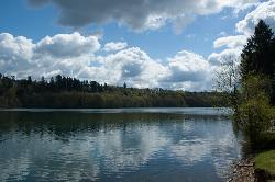
Ike Kinswa State Park Swim Area
Silver Creek
20.4 miles SWA marked swim area at the Ike Kinswa State Park day-use beach on the Tilton River arm of Mayfield Lake near Silver Creek, Washington. Open 8 a.m. to dusk; a Discover Pass ($10/day) is required.
Camp, Canoe, Hike, Kayak, Swim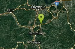
Quarry Pool
Tenino, Washington
27.3 miles WSwim near Tenino, Washington
Swim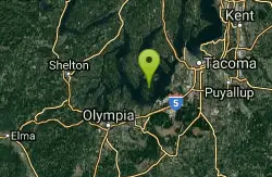
Lowell Johnson Park
Anderson Island, Washington
32.0 miles NWSwim near Anderson Island, Washington
Swim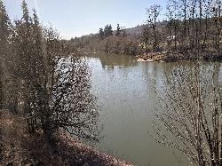
Cowlitz River
Randle, Washington
33.5 miles EA wide, deep, slow-moving stretch of the Cowlitz River near Mt. Rainier — secluded and known mostly to locals, with room to camp, kayak, and hike along the bank.
Swim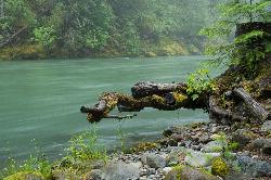
Blue Hole on the Ohanapecosh River
Packwood
34.0 miles EA clear, cold pool on the Ohanapecosh River in La Wis Wis Campground east of Packwood, reached by a 100-yard Forest Service trail from the Hatchery Loop just above the start of the Cowlitz River.
Camp, Hike, Swim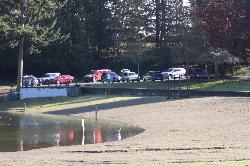
Steel Lake Park
Federal Way
36.4 miles NSteel Lake Park is a 52 acre City of Federal Way park with a guarded sand swim beach on a 46 acre lowland lake. The swim zone is buoyed off, entry and parking are free, and a bathhouse, fishing pier, playground and sand volleyball pit sit behind the beach
Canoe, Hike, Kayak, Swim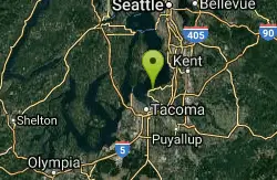
Dash Point Beach
Federal Way, Washington
36.6 miles NDash Point State Park beach catches afternoon sun and relatively warm Puget Sound water, with restrooms, an outdoor shower, and camping just steps away.
Swim
Lake Wilderness Park Swim Beach
Maple Valley, Washington
41.4 miles NFree city park beach on Lake Wilderness in Maple Valley with summer lifeguards, canoe and paddleboard rentals, a concession stand, a big playground and a 40-acre arboretum.
Canoe, Hike, Kayak, Swim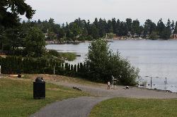
Angle Lake Beach
SeaTac
43.5 miles NAngle Lake Beach is the guarded sand swimming beach at Angle Lake Park, a ten-acre City of SeaTac park on the west shore of a 102-acre glacial lake less than a mile from the Sea-Tac runways. King County samples the water weekly through the summer, and the
Canoe, Hike, Kayak, Swim
Rainbow Falls State Park
Chehalis, Washington
46.8 miles WA rainbow-crowned waterfall spills into an official swimming hole at the base in this 1935-era state park, surrounded by old-growth forest and 3,400 feet of river shoreline.
Camp, Hike, Swim
Green River Area
Ronald, Washington
47.0 miles NESeveral informal swimming spots in the Upper Green River east of Seattle and North Bend — a casual and scenic escape with clothing sometimes optional.
SwimNearby Campsites
Ike Kinswa State Park Swim Area
Silver Creek
20.4 miles SWA marked swim area at the Ike Kinswa State Park day-use beach on the Tilton River arm of Mayfield Lake near Silver Creek, Washington. Open 8 a.m. to dusk; a Discover Pass ($10/day) is required.
Camp, Canoe, Hike, Kayak, Swim
Mount Rainer
Ashford, Washington
26.4 miles EThe most glaciated peak in the contiguous U.S. at 14,410 feet — an active volcano with six major rivers, subalpine wildflower meadows, ancient forest, and abundant wildlife.
Camp, Hike, Mountain Bike
Blue Hole on the Ohanapecosh River
Packwood
34.0 miles EA clear, cold pool on the Ohanapecosh River in La Wis Wis Campground east of Packwood, reached by a 100-yard Forest Service trail from the Hatchery Loop just above the start of the Cowlitz River.
Camp, Hike, Swim
Rainbow Falls State Park
Chehalis, Washington
46.8 miles WA rainbow-crowned waterfall spills into an official swimming hole at the base in this 1935-era state park, surrounded by old-growth forest and 3,400 feet of river shoreline.
Camp, Hike, Swim


