


Blue Hole on the Ohanapecosh River
Packwood
Camp, Hike, and Swim
Blue Hole is a clear pool on the Ohanapecosh River inside La Wis Wis Campground in the Gifford Pinchot National Forest, a few miles east of Packwood off US Highway 12. It sits in a small canyon only a few hundred yards above the spot where the Ohanapecosh meets the Clear Fork and the two become the Cowlitz River. The Forest Service describes it as a beautiful pool and notes that the Upper Cowlitz people used it as a fishing site.
Getting to the water is about as easy as river swimming gets. Turn into La Wis Wis from US 12, follow the campground road to the Hatchery Loop, and look for the sign for Blue Hole Trail #167. The trail is roughly 100 yards of dirt path through the campground's old-growth Douglas fir, hemlock and cedar, and it ends at an overlook and interpretive site above the pool. It is open to hikers only, with no bikes or horses.
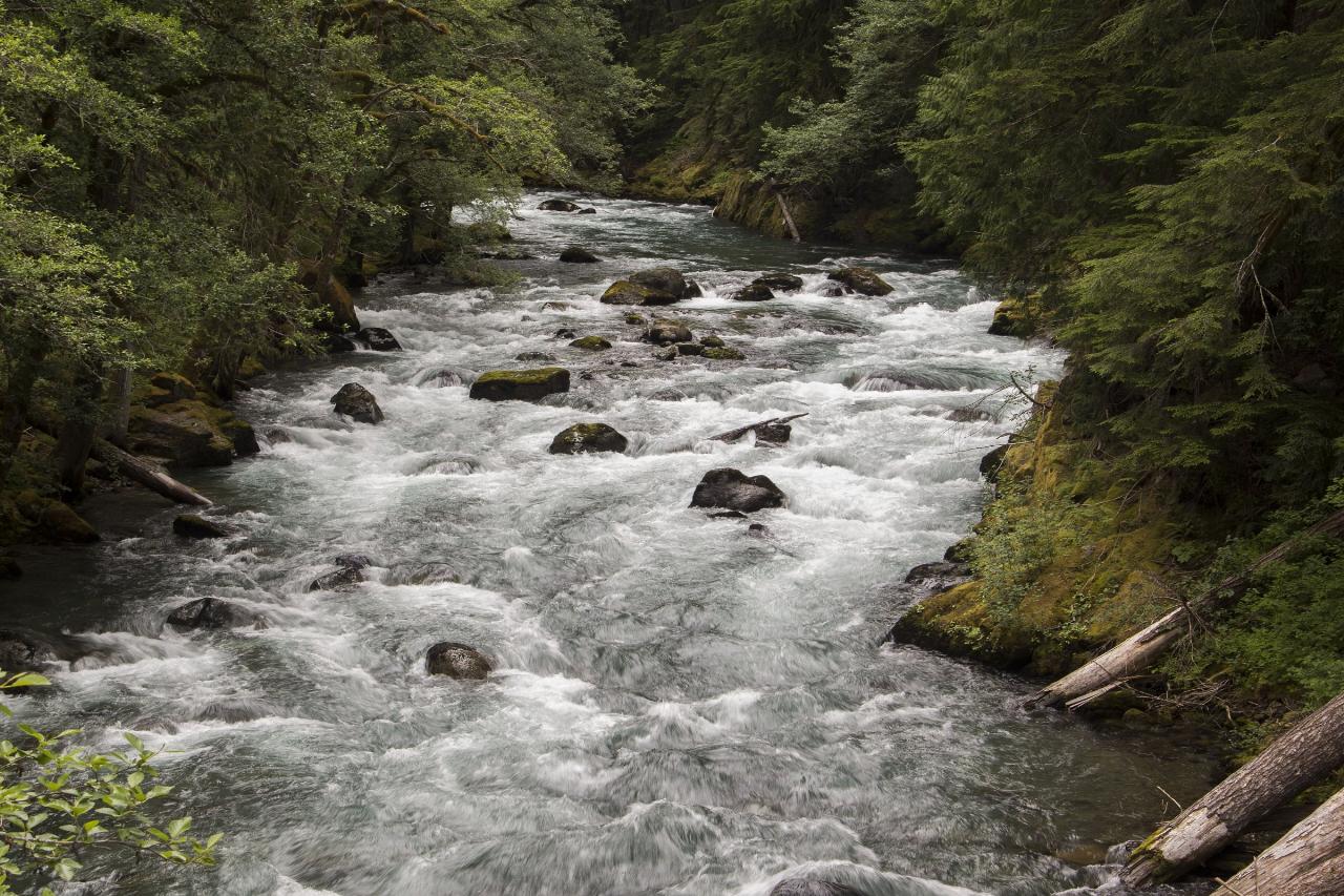
The Ohanapecosh starts at the Ohanapecosh Glacier on the southeast side of Mount Rainier and runs about 16 miles, most of it inside Mount Rainier National Park, before this last stretch through the national forest. It is known for unusually clear water, and the Washington Place Names database says the river's name may mean clear stream or deep blue holes. Expect it to be cold even in August.
The campground is open from mid-May to mid-September and is run by a concessionaire. From mid-September to Memorial Day the entrance is gated at US 12, but the Forest Service says you can still walk down through the campground to reach the trail. Don't block the gate if you park out by the highway. The campground is a fee site, and the Forest Service lists a day-use fee for its picnic area (the amount is not posted online, and holders of Interagency Senior or Access passes get half off). No separate trail permit is required. For the 2026 season there is no drinking water anywhere in the campground because the water system has tested high for benzene, so bring what you need.
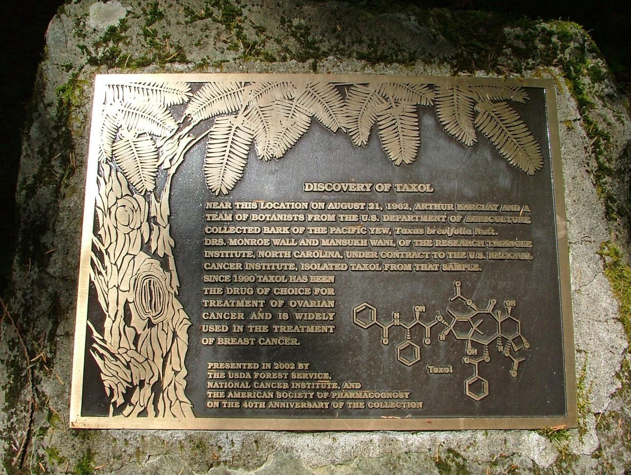
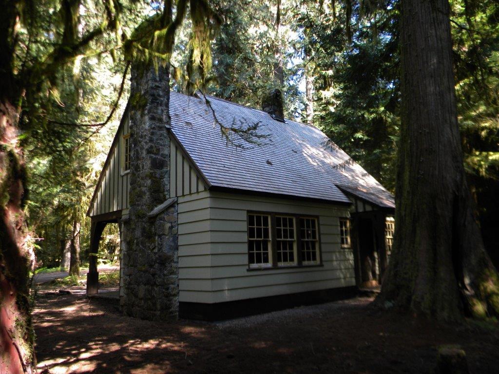
La Wis Wis has a long history for a campground. Grant Purcell homesteaded the land in the 1890s and pushed the Forest Service to make it a public park. The Civilian Conservation Corps built the camp in the 1930s, and it was renamed from Clear Fork Campground to La Wis Wis at a large ceremony on July 20, 1935. The Gifford Pinchot National Forest itself was dedicated here in 1949. The 1937 CCC guard station still stands and has been on the National Register of Historic Places since 1986. A bronze plaque in the campground marks the spot where botanists collected Pacific yew bark on August 21, 1962, the sample that led to the cancer drug Taxol.
Grant Purcell Falls Trail #162A also starts from the campground and makes an easy add-on. The Stevens Canyon entrance to Mount Rainier National Park is a short drive up State Route 123, and Paradise is about 28 miles away, which makes Blue Hole a good cool-off after a day in the park.
More Information
Blue Hole — Washington Trails Association
Washington Trails Association Trails for everyone, forever
https://www.wta.org/go-hiking/hikes/blue-holeCowlitz River at Packwood, WA - USGS Water Data for the Nation
Discover water data collected at monitoring location USGS-14226500, located in Lewis County, Washington and find additional nearby monitoring locations.
https://waterdata.usgs.gov/monitoring-location/USGS-14226500/Gifford Pinchot National Forest | La Wis Wis Campground and Coho Group Site | Forest Service
This large campground is located right off of US Highway 12 at the junction of the Clear Fork of the Cowlitz and the Ohanapecosh Rivers. It is situated in an old growth stand of Douglas fir, hemlock, and cedar. Most sites offer good privacy.The Coho Group Site, located at the back of the campground, is a small group area that has room for 5 vehicles and 25-30 people. The Purcell Falls Trail #162A and the Blue Hole Trail #167 originate from the campground and offer views of the falls and the Blue Hole along the Ohanapecosh River. This is a great destination for those traveling through looking for an overnight stay and also makes a great central location for an extended stay while exploring the local area.There is also a Picnic Area within the campground. There is a shelter, tables, and interpretive plaque at the picnic area. The picnic area is for day use only. View a La Wis Wis Campground map (PDF).
https://www.fs.usda.gov/r06/giffordpinchot/recreation/la-wis-wis-campground-and-coho-group-siteGifford Pinchot National Forest | Trail #167 Blue Hole | Forest Service
An official website of the United States government
https://www.fs.usda.gov/r06/giffordpinchot/recreation/trails/trail-167-blue-holeLa Wis Wis Campground - Visit Rainier
La Wis Wis Campground is located in Randle, Washington, and managed by the Gifford Pinchot National Forest. Some sites are large enough for RVs. Campsites are located in a forested area near short hiking trails.
https://visitrainier.com/la-wis-wis-campground/La Wis Wis Campground, Gifford Pinchot National Forest - Recreation.gov
Explore La Wis Wis Campground in Gifford Pinchot National Forest, Washington with Recreation.gov. Situated at the confluence of three waterways near Mount Rainier, La Wis Wis is nestled under a canopy of towering Douglas firs and red cedars. The handful of s
https://www.recreation.gov/camping/campgrounds/233877Be courteous, informed, and prepared. Read trailhead guidelines, stay on the trail, and don't feed the wildlife.
Read More
- Plan Ahead and Prepare
- Travel & camp on durable surfaces
- Dispose of waste properly
- Leave what you find
- Minimize campfire impacts
- Respect wildlife
- Be considerate of other visitors
Directions
From Packwood
- Head north on US-12 E toward Snyder Rd (6.8 mi)
- Turn left onto NF-1272 (0.6 mi)
- Turn right onto NF-1273 (0.4 mi)
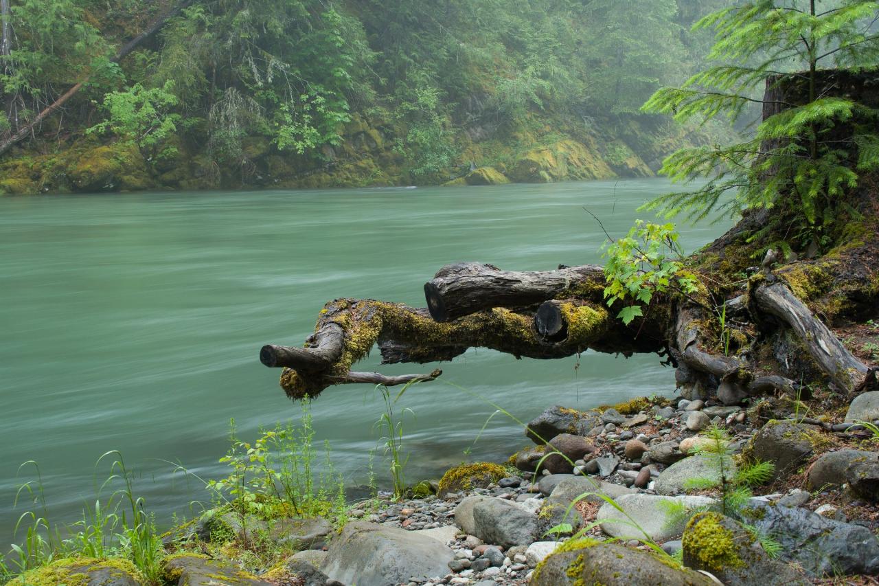
 The Cowlitz River a short way downstream of La Wis Wis, just below where the Ohanapecosh joins it courtesy of etnin↗ (CC BY 2.0↗)
 A green pool on the Ohanapecosh River upstream in Mount Rainier National Park courtesy of Mount Rainier National Park from Ashford, WA, United States↗ (Public domain↗)
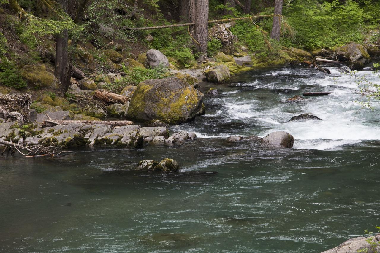
 The Ohanapecosh River in Mount Rainier National Park, upstream of Blue Hole courtesy of Mount Rainier National Park from Ashford, WA, United States↗ (Public domain↗)
 Plaque at La Wis Wis Campground marking the 1962 Pacific yew bark collection that led to Taxol courtesy of U.S. Forest Service- Pacific Northwest Region↗ (Public domain↗)
 The 1937 La Wis Wis Guard Station, built by the Civilian Conservation Corps
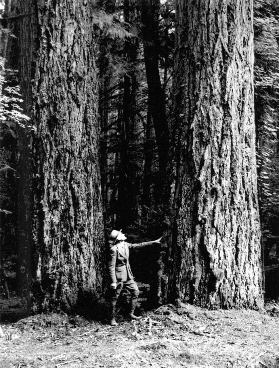
 Old-growth Douglas fir at La Wis Wis in 1949 courtesy of U.S. Forest Service- Pacific Northwest Region↗ (Public domain↗)
Other Swimming Holes and Hiking Trails Nearby
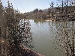
Cowlitz River
Randle, Washington
1.4 miles SWA wide, deep, slow-moving stretch of the Cowlitz River near Mt. Rainier — secluded and known mostly to locals, with room to camp, kayak, and hike along the bank.
Swim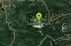
Mount Rainer
Ashford, Washington
14.4 miles NWThe most glaciated peak in the contiguous U.S. at 14,410 feet — an active volcano with six major rivers, subalpine wildflower meadows, ancient forest, and abundant wildlife.
Camp, Hike, Mountain Bike
Skyscraper Mountain Trail
Ashford, Washington
17.9 miles NA gorgeous day hike to 7,078-foot Skyscraper Mountain in Mount Rainier NP, with unobstructed Cascade Range views, Moraine Peak vistas, and Mystic Lake sightings from the summit.
Hike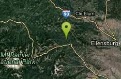
Rainier East Area
Naches, Washington
31.3 miles NESwim near Naches, Washington
Swim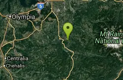
Eatonville Area
Palisades, Washington
34.3 miles WSwim near Palisades, Washington
Swim
Green River Area
Ronald, Washington
36.9 miles NSeveral informal swimming spots in the Upper Green River east of Seattle and North Bend — a casual and scenic escape with clothing sometimes optional.
Swim
Taneum Creek
Thorp, Washington
45.7 miles NEA popular swimming hole with a deep front pool and a wide, shallow play area directly above and across the creek — a great combo for mixed groups of swimmers.
Swim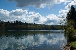
Ike Kinswa State Park Swim Area
Silver Creek
46.0 miles WA marked swim area at the Ike Kinswa State Park day-use beach on the Tilton River arm of Mayfield Lake near Silver Creek, Washington. Open 8 a.m. to dusk; a Discover Pass ($10/day) is required.
Camp, Canoe, Hike, Kayak, Swim
Ape Cave
Cougar, Washington
49.8 miles SWThe longest lava tube in the continental US at over two miles, carved beneath Mount St. Helens — open year-round for exploring in the Mount St. Helens National Monument south of Cougar, Washington.
Cave, Hike
Granite Mountain
North Bend, Washington
49.8 miles NA steep, rewarding hike up Granite Mountain gaining about 1,000 feet per mile, with panoramic summit views of Mount Rainier, Mount Stewart, and the Teanaway — best tackled after the snow melts.
Backpack, HikeNearby Campsites
Mount Rainer
Ashford, Washington
14.4 miles NWThe most glaciated peak in the contiguous U.S. at 14,410 feet — an active volcano with six major rivers, subalpine wildflower meadows, ancient forest, and abundant wildlife.
Camp, Hike, Mountain Bike
Ike Kinswa State Park Swim Area
Silver Creek
46.0 miles WA marked swim area at the Ike Kinswa State Park day-use beach on the Tilton River arm of Mayfield Lake near Silver Creek, Washington. Open 8 a.m. to dusk; a Discover Pass ($10/day) is required.
Camp, Canoe, Hike, Kayak, Swim


