


Ike Kinswa State Park Swim Area
Silver Creek
Camp, Canoe, Hike, Kayak, and Swim
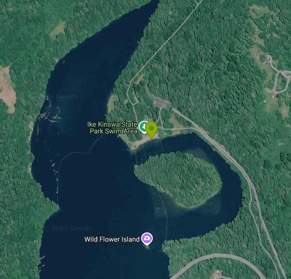
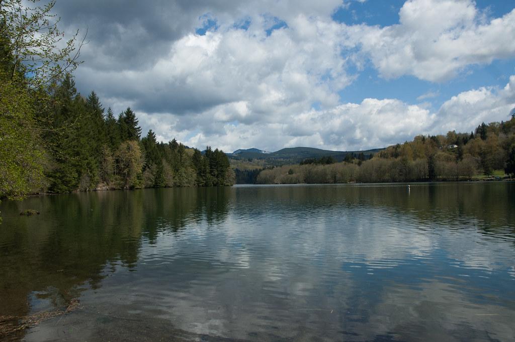
The swim area at Ike Kinswa State Park is a marked swimming spot off the park's day-use area on Mayfield Lake, the 2,250-acre reservoir Tacoma Power created when it finished Mayfield Dam on the Cowlitz River in 1963. Washington State Parks runs the 454-acre park, which takes in about 46,000 feet of shoreline on the north side of the lake, much of it along the flooded lower Tilton River. The swim area sits on that Tilton arm just upstream of the State Route 122 bridge, with forested banks on both sides.
The park address is 873 State Route 122, Silver Creek. From Interstate 5, head east on US 12 toward Mossyrock, then follow SR 122 (the old Harmony Road) around the lake to the park. The campground loops and the boat launch are south of the bridge. The day-use area is on the north side, with a playground, horseshoe pits, picnic tables and a restroom building a few steps from the water. Park in the day-use lot and the beach is a short walk. Campers should know the beach is a fair distance from most campsites, so driving over is usually easier.
Washington State Parks lists swimming among the park's activities and a sandy beach among its features. The marked area keeps swimmers along the shore and out of the boat traffic on the open lake. The state does not publish depth figures for the beach, and the lake drops off steeply in places: a 2014 recovery near the boat launch was made in 65 feet of water. The Cowlitz reaches Mayfield Lake after passing through Riffe Lake and Mossyrock Dam upstream, and the Tilton comes down from the hills to the north, so expect cool water even in midsummer. The lake level is held within about ten feet through the year, so the beach does not vanish in a late-season drawdown. The park page lists no lifeguards, so plan on swimming unsupervised.
Hours are 8 a.m. to dusk year-round. Day use is not free: parking requires a Washington Discover Pass, which costs $10 for one day or $45 for an annual pass. Launching a boat costs an extra $7 per day, and the RV dump is $5 per use. Dogs are allowed in the park on a leash.
Boats and depth are the main hazards. Mayfield Lake is busy in summer with powerboats, water-skiers and anglers fishing for tiger muskie, so stay inside the marked area. Cliff jumping along the shore near the boat launch has been deadly: a Winlock man died there in 2014 after a 30-foot jump. The park's concrete boat ramp currently ends in a 10-inch drop where material washed out from under it, which matters if you are launching a kayak. In mid-September 2026 the park was under a Level 2 burn ban, so check the park's alerts before planning a campfire.
The park also has about 100 campsites, nine small cabins along the lake, hot showers, a hiker-biker camp and roughly 2.5 miles of hiking trail. Canoes and kayaks can explore the quieter Tilton arm above the swim area. The park was called Mayfield Lake State Park until 1971, when it was renamed for Ike Kinswa, a Cowlitz tribal member who represented his people in the 1880s. Tacoma Power's Mayfield Lake Park, elsewhere on the lake, is the other public option nearby.
More Information
Be courteous, informed, and prepared. Read trailhead guidelines, stay on the trail, and don't feed the wildlife.
Read More
- Plan Ahead and Prepare
- Travel & camp on durable surfaces
- Dispose of waste properly
- Leave what you find
- Minimize campfire impacts
- Respect wildlife
- Be considerate of other visitors
Directions
From Silver Creek
- Head south on US-20 W/
Main St toward Park Pl (10.0 mi) - At the traffic circle, take the 1st exit onto NY-60 N/
Bennett Rd (0.6 mi) - Take the ramp onto I-90 WToll roadPassing through PennsylvaniaEntering Ohio(129 mi)
- Keep right to stay on I-90 W, follow signs for I-271 S/
Cleveland (1.3 mi) - Keep right to stay on I-90 W, follow signs for Cleveland (3.1 mi)
- Keep left to stay on I-90 W (11.5 mi)
- Slight left to stay on I-90 W (signs for I-71) (3.2 mi)
- Take exit 170B for I-71 S toward Columbus (1.2 mi)
- Continue onto I-71 S (7.5 mi)
- Take exit 238-239 on the left to merge onto I-480 W toward Toledo (9.4 mi)
- Take the I-80 W/
Ohio Turnpike exit toward I-480 W/ Toledo Toll road(1.1 mi) - Merge onto I-80 WToll road(147 mi)
- Keep left to continue on I-90 WToll roadEntering Indiana(160 mi)
- Keep left to stay on I-90 WToll roadEntering Illinois(7.8 mi)
- Take the I-94 W/
I-90 W exit on the left toward Ryan Expy Toll road(0.3 mi) - Merge onto I-90Exp W/
I-94Exp W (4.8 mi) - Merge onto I-90 W/
I-94 W (10.7 mi) - Keep left to continue on I-90 W, follow signs for Kennedy Expwy/
O'Hare/ Rockford (4.7 mi) - Keep left to stay on I-90 WToll road(2.8 mi)
- Continue straight to stay on I-90 WToll road(23.1 mi)
- Keep left to stay on I-90 WToll roadEntering Wisconsin(196 mi)
- Keep right to continue on I-94 WEntering Minnesota(156 mi)
- Take exit 249 for I-694 S (0.7 mi)
- Merge onto I-694 N (11.5 mi)
- Slight right onto I-694 W (3.7 mi)
- Continue straight onto I-694 (7.1 mi)
- Keep left to continue on I-694 W, follow signs for I-94 W/
St Cloud (7.5 mi) - Keep right to continue on I-94 W, follow signs for St Cloud (17.0 mi)
- Keep right to stay on I-94 WParts of this road may be closed at certain times or daysPassing through North DakotaEntering Montana(801 mi)
- Continue onto I-90 WPassing through IdahoEntering Washington(714 mi)
- Take exit 110 for I-82 E/
US-97 S toward Yakima (1.4 mi) - Continue onto I-82 E/
US-97 S (30.2 mi) - Take exit 31A for US-12 W toward N 1st St/
Naches (348 ft) - Take the ramp onto US-12 W (17.2 mi)
- Turn left to stay on US-12 W (96.9 mi)
- Turn right onto Larson Rd (2.4 mi)
- Turn right onto WA-122 W (1.8 mi)
- Turn right (0.8 mi)
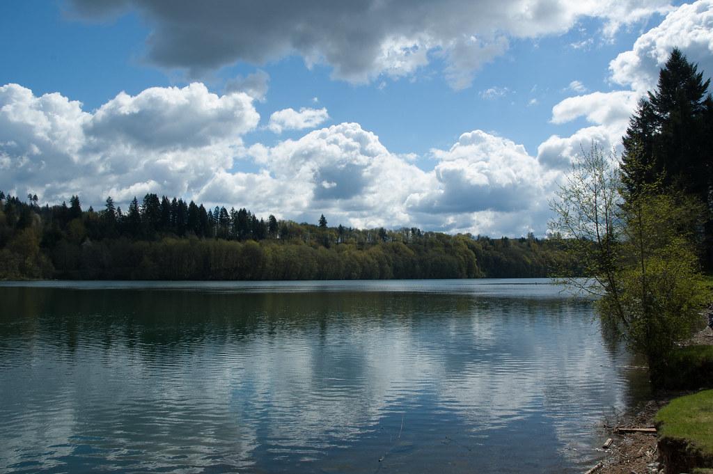
 Mayfield Lake from the shoreline at Ike Kinswa State Park on a spring day. courtesy of TerriJane01↗ (CC BY-SA 2.0↗)
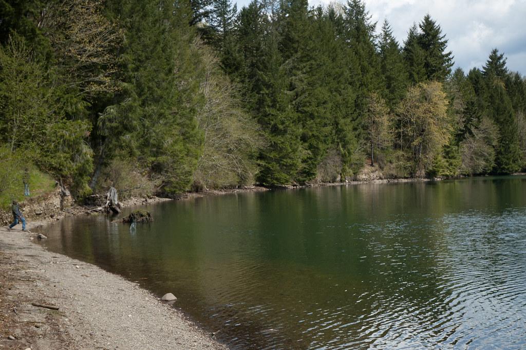
 Gravel shoreline and forested bank along Mayfield Lake at Ike Kinswa State Park. courtesy of TerriJane01↗ (CC BY-SA 2.0↗)
 Calm water and wooded shores on Mayfield Lake at Ike Kinswa State Park. courtesy of TerriJane01↗ (CC BY-SA 2.0↗)
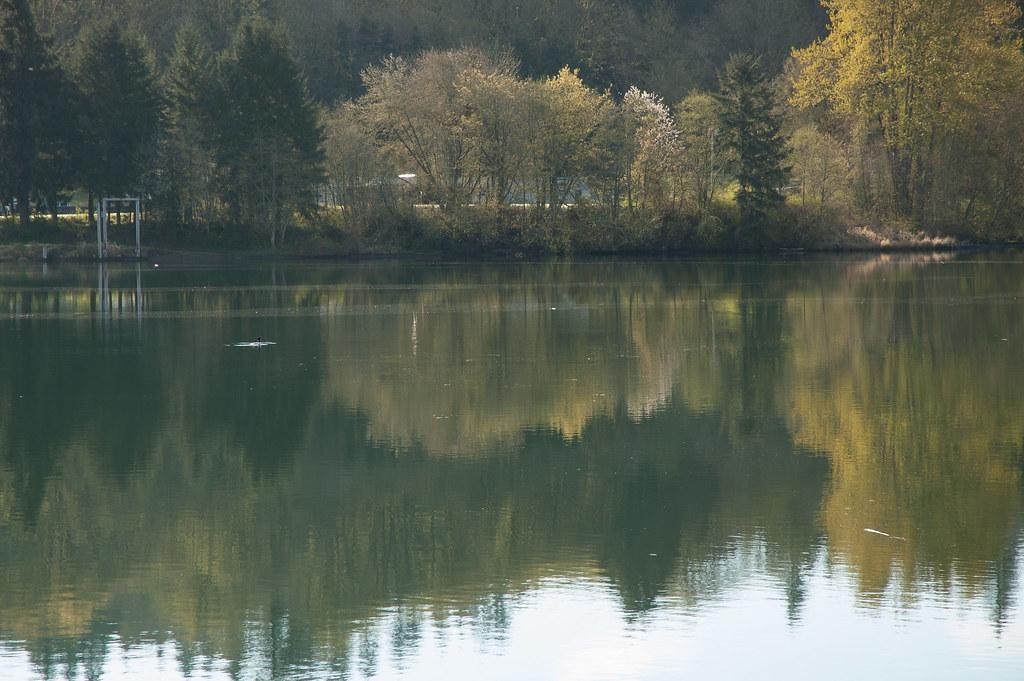
 Morning reflections on Mayfield Lake below Ike Kinswa State Park. courtesy of TerriJane01↗ (CC BY-SA 2.0↗)

Other Swimming Holes, Hiking Trails, Canoeing Areas, and Kayaking Areas Nearby
Eatonville Area
Palisades, Washington
24.4 miles NESwim near Palisades, Washington
Swim
Quarry Pool
Tenino, Washington
25.3 miles NWSwim near Tenino, Washington
Swim
Rainbow Falls State Park
Chehalis, Washington
33.5 miles WA rainbow-crowned waterfall spills into an official swimming hole at the base in this 1935-era state park, surrounded by old-growth forest and 3,400 feet of river shoreline.
Camp, Hike, Swim
Ape Cave
Cougar, Washington
34.9 miles SEThe longest lava tube in the continental US at over two miles, carved beneath Mount St. Helens — open year-round for exploring in the Mount St. Helens National Monument south of Cougar, Washington.
Cave, Hike
Lowell Johnson Park
Anderson Island, Washington
42.6 miles NSwim near Anderson Island, Washington
Swim
Mount Rainer
Ashford, Washington
43.5 miles NEThe most glaciated peak in the contiguous U.S. at 14,410 feet — an active volcano with six major rivers, subalpine wildflower meadows, ancient forest, and abundant wildlife.
Camp, Hike, Mountain Bike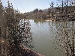
Cowlitz River
Randle, Washington
44.9 miles EA wide, deep, slow-moving stretch of the Cowlitz River near Mt. Rainier — secluded and known mostly to locals, with room to camp, kayak, and hike along the bank.
Swim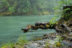
Blue Hole on the Ohanapecosh River
Packwood
45.9 miles EA clear, cold pool on the Ohanapecosh River in La Wis Wis Campground east of Packwood, reached by a 100-yard Forest Service trail from the Hatchery Loop just above the start of the Cowlitz River.
Camp, Hike, Swim
Skyscraper Mountain Trail
Ashford, Washington
47.0 miles NEA gorgeous day hike to 7,078-foot Skyscraper Mountain in Mount Rainier NP, with unobstructed Cascade Range views, Moraine Peak vistas, and Mystic Lake sightings from the summit.
HikeNearby Campsites
Rainbow Falls State Park
Chehalis, Washington
33.5 miles WA rainbow-crowned waterfall spills into an official swimming hole at the base in this 1935-era state park, surrounded by old-growth forest and 3,400 feet of river shoreline.
Camp, Hike, Swim
Mount Rainer
Ashford, Washington
43.5 miles NEThe most glaciated peak in the contiguous U.S. at 14,410 feet — an active volcano with six major rivers, subalpine wildflower meadows, ancient forest, and abundant wildlife.
Camp, Hike, Mountain Bike
Blue Hole on the Ohanapecosh River
Packwood
45.9 miles EA clear, cold pool on the Ohanapecosh River in La Wis Wis Campground east of Packwood, reached by a 100-yard Forest Service trail from the Hatchery Loop just above the start of the Cowlitz River.
Camp, Hike, Swim


