


Teeple Lake Beach
White Lake
Camp, Canoe, Hike, Kayak, and Swim
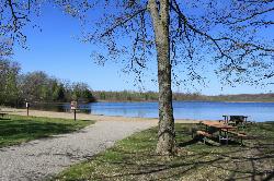
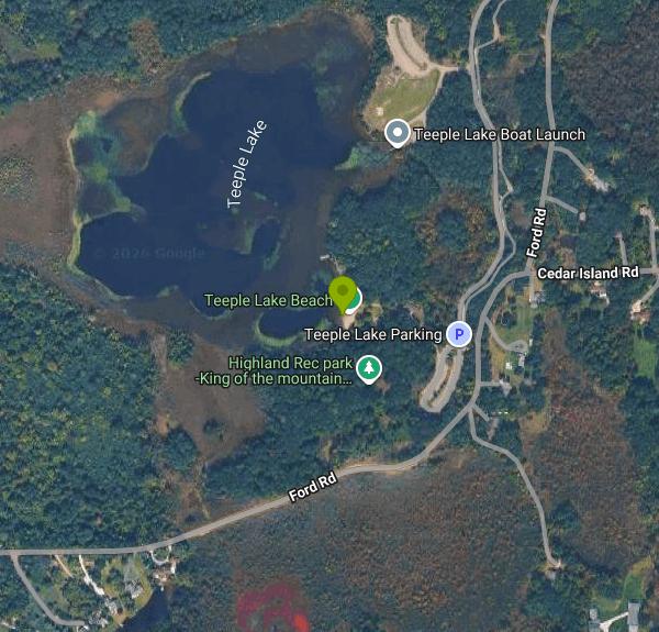
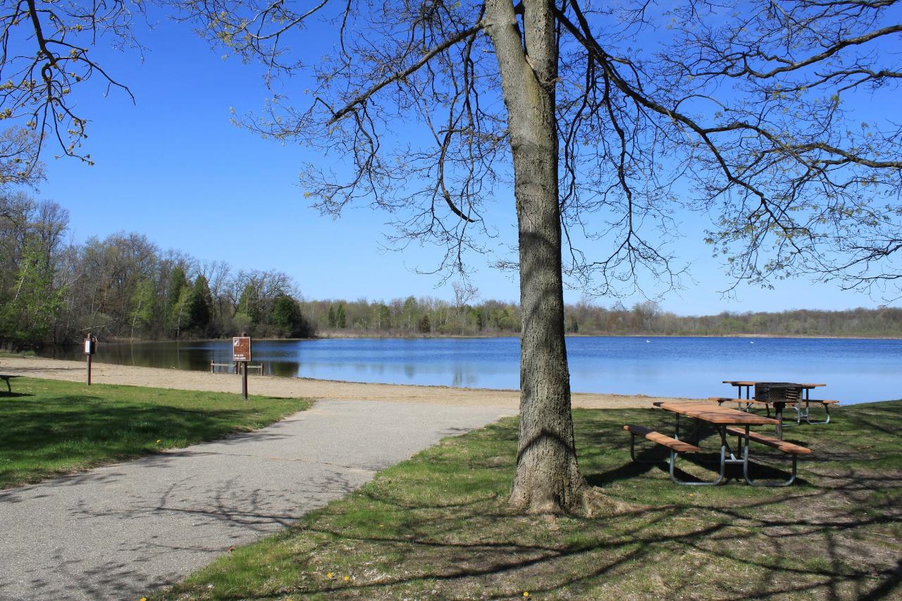
Teeple Lake Beach is the designated swimming beach of Highland Recreation Area, a 5,900-acre state recreation area run by the Michigan Department of Natural Resources in Oakland County, northwest of Pontiac. The beach sits on the southeast shore of Teeple Lake, a 48-acre glacial lake surrounded by wooded hills in the southeast corner of the park. It is the only developed swim area among the more than ten inland lakes inside the recreation area.
The park's address is 5200 Highland Road (M-59) in White Lake, about 3 miles west of the township center and within an hour's drive of Detroit by way of I-96 or M-59. The Teeple Lake day-use area has parking lots on the south side of the beach, a short walk from the sand. An accessible beach house with modern restrooms stands beside the swim area, along with picnic tables, charcoal grills and a reservable picnic pavilion with electricity. The park office can be reached at 248-889-3750.
The swim area is a buoyed section of shoreline in front of a small sand beach. The shallows close to shore suit wading and younger swimmers, but Teeple Lake reaches about 28 feet at its deepest point, so stay inside the buoys. The lake is still water with no current, and like other inland lakes in southeast Michigan it is usually warm enough for comfortable swimming from late June into early September. The DNR does not list lifeguards for this beach, so plan to supervise children yourself. Pets are allowed along the park's other lakeshores but not on the designated swim beach.
There is no separate swim fee. Every vehicle entering a Michigan state park needs a Recreation Passport. For Michigan-registered vehicles it is an annual pass, $15 when added at license plate renewal through the Secretary of State (a $5 convenience fee applies if you buy it later at a park or online), and there is no daily option for Michigan plates. Out-of-state vehicles can buy a $12 daily pass or a $42 annual pass. Visitors who walk or bike in do not need a passport. Call the park office for current day-use hours before an evening visit.
Teeple Lake is a no-wake lake with a boat launch, and the DNR describes the park's lakes as popular with kayakers, canoeists and anglers. Northern pike, bluegill, crappie, perch, bass and bullhead are all found here, so expect some fishing boats offshore of the buoy line. Inland beaches in Michigan can close after heavy rain if bacteria counts rise, and the DNR posts park closures on its website, so check before driving out on a stormy week.
Highland Recreation Area has about 44 miles of trails for hiking, mountain biking and horseback riding. The Cedar Creek Trail starts at Teeple Lake and runs 2.75 miles through forest and marsh to the Haven Hill gatehouse, giving swimmers an easy walk before or after time on the beach. The park also has the Haven Hill Natural Area, a rustic and equestrian campground with 25 sites, dog field trial areas and a radio-controlled flying field on Teeple Lake Road.
More Information
Be courteous, informed, and prepared. Read trailhead guidelines, stay on the trail, and don't feed the wildlife.
Read More
- Plan Ahead and Prepare
- Travel & camp on durable surfaces
- Dispose of waste properly
- Leave what you find
- Minimize campfire impacts
- Respect wildlife
- Be considerate of other visitors
Directions
From White Lake
- Head north on White Lake Dr toward Tarheel Cir (1.2 mi)
- Turn left onto US-701 Hwy S (5.8 mi)
- Turn right onto NC-242 N/
NC-53 W Continue to follow NC-53 W(23.7 mi) - Slight left toward NC-53 W/
Cedar Creek Rd (0.1 mi) - Continue onto NC-53 W/
Cedar Creek Rd Pass by Subway (on the left in 7.5 mi)(10.8 mi) - Slight left onto NC-210 N/
NC-24 W (2.1 mi) - Turn right onto NC-210 NPass by Ruby Tuesday (on the right in 8.9 mi)(9.1 mi)
- Continue onto NC-87 N/
N Bragg Blvd Continue to follow NC-87 NPass by Bank of America (with Drive-thru ATM) (on the left in 1.2 mi)(20.9 mi) - Keep left to continue on NC-87 BYP (1.6 mi)
- Continue onto US-421 N (54.4 mi)
- Take exit 197 to merge onto I-85 S toward Winston - Salem/
Charlotte (5.8 mi) - Slight right onto US-421 N (signs for I-73 N/
Winston-Salem/ Martinsville) (0.6 mi) - Merge onto I-73 N/
US-421 N (6.1 mi) - Slight left onto US-421 N (signs for I-40 W/
Winston-Salem) (0.6 mi) - Merge onto I-40/
US-421 N (5.2 mi) - Take exit 206 for US-421 N toward Salem Pkwy Kernersville/
Winston-Salem/ Downtown (0.3 mi) - Continue onto US-421 N (6.2 mi)
- Take exit 227 for NC-74 W toward US-311 (0.8 mi)
- Merge onto I-74 W/
NC-74 (12.9 mi) - Continue onto US-52 N (20.9 mi)
- Take exit 18 for I-74 W toward I-77/
Wytheville (0.5 mi) - Continue onto I-74 W (11.2 mi)
- Keep right to stay on I-74 W, follow signs for I-77 N/
Wytheville Entering Virginia(5.0 mi) - Continue onto I-77 N (31.9 mi)
- Take the exit onto I-77 N/
I-81 S toward Bluefield/ Wytheville (9.1 mi) - Take exit 72 for I-77 N toward Bluefield/
Charleston W.VA (0.4 mi) - Continue onto I-77 NToll roadEntering West Virginia(127 mi)
- Slight left onto I-64 WParts of this road may be closed at certain times or days(17.9 mi)
- Take exit 40 toward Winfield/
Pt. Pleasant (0.6 mi) - Merge onto US-35 NEntering Ohio(96.2 mi)
- Slight right onto US-23 N/
Corridor C (signs for Columbus) Pass by Dollar General (on the left in 26.5 mi)(37.1 mi) - Turn right to merge onto I-270 W toward I-71 (2.1 mi)
- Take exit 55 to merge onto I-71 N toward Columbus (4.7 mi)
- Take exit 106 for OH-315 N toward Worthington (0.6 mi)
- Continue onto OH-315 N (11.6 mi)
- Keep left to stay on OH-315 N (4.5 mi)
- At the traffic circle, take the 2nd exit and stay on OH-315 N (2.9 mi)
- At the traffic circle, take the 2nd exit and stay on OH-315 N (3.0 mi)
- Turn left onto US-23 N (48.2 mi)
- Keep right to stay on US-23 N, follow signs for Toledo (7.5 mi)
- Continue onto OH-15 W (14.4 mi)
- Continue onto OH-15 W/
US-68 N (2.5 mi) - Take the exit onto I-75 N/
OH-15 W toward OH-15 W/ Toledo Continue to follow I-75 N(35.3 mi) - Take exit 192 on the left to merge onto I-475 N/
US-23 N toward Maumee/ Ann Arbor (13.6 mi) - Keep left to continue on US-23 N, follow signs for Sylvania/
Ann Arbor Entering Michigan(39.1 mi) - Continue onto I-94BL/
US-23 N (1.5 mi) - Continue onto US-23 N (4.8 mi)
- Take the exit onto M-14 W/
US-23 N toward Flint (2.6 mi) - Keep right to continue on US-23 N (22.2 mi)
- Take exit 67 for M-59 E toward Pontiac (0.3 mi)
- Turn right onto M-59 E (10.9 mi)
- Turn right onto Haven Rd (1.2 mi)
- Continue onto Morraine Rd (1.3 mi)
- Turn right to stay on Morraine Rd (98 ft)
Other Swimming Holes, Hiking Trails, Canoeing Areas, and Kayaking Areas Nearby
Mercer Beach
Walled Lake
7.4 miles SEFree City of Walled Lake beach with about 200 feet of sand on the north shore of Walled Lake, at the edge of downtown. Buoyed swim area, no lifeguard, seasonal restrooms, playground, no pets.
Swim
Spring Mill Pond Beach
Brighton
13.0 miles SWA buoyed swim beach on small, spring-fed Spring Mill Pond inside Island Lake Recreation Area near Brighton, with cooler, clearer water than the park's river lakes. A Michigan Recreation Passport is required.
Hike, Swim
Linden County Park
Linden
17.0 miles NWClover Beach at Genesee County's Linden County Park is a free, unguarded swim beach on Byram Lake just south of Linden, open 8 a.m. to 8 p.m. daily from Memorial Day weekend through Labor Day.
Hike, Swim
Baypoint Beach
Rochester
24.3 miles EUnguarded sand swimming beach on the west shore of Stony Creek Lake in Stony Creek Metropark, a quieter alternative to Eastwood Beach. Open May 1 to October 1, 8 a.m. to 8 p.m., with a $10 daily vehicle pass.
Canoe, Hike, Kayak, Swim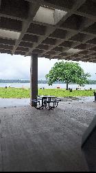
Eastwood Beach
Washington Township
24.6 miles EUnguarded sand beach on 500-acre Stony Creek Lake in Stony Creek Metropark, Washington Township, with changing rooms, a big playground and kayak rentals. A $10 Metroparks daily vehicle pass gets you in.
Camp, Canoe, Hike, Kayak, Swim
Pickerel Lake
Dexter, Michigan
26.7 miles SWA spring-fed, totally undeveloped lake surrounded by conifers near Dexter — clean enough to float in, home to herons and sandhill cranes, with a small sandy beach.
Swim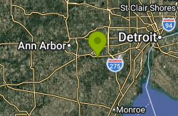
Van Buren Park Beach
Belleville
28.6 miles SThe only public swim beach on Belleville Lake, a small sand beach and sandbar inside Van Buren Township's 101-acre Van Buren Park. Vehicle entry is $8 a day for non-residents ($6 residents); no lifeguards are listed.
Hike, Swim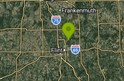
Bluebell Beach
Flint
32.3 miles NFree Genesee County Parks sand beach on C.S. Mott Lake just northeast of Flint, open daily 8 a.m. to 8 p.m. in summer, with a splash pad, pavilions and the Flint River Trail. No lifeguards.
Hike, Swim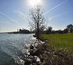
Belle Isle Beach
Detroit
35.0 miles SEA half mile of Detroit River sand on a state-run island park between Detroit and Windsor, with a buoyed swim area open Memorial Day through Labor Day. No lifeguards, a three mile an hour river past the buoys, and periodic E. coli closures.
Canoe, Hike, Kayak, Swim
Portage Lake Beach
Grass Lake
40.5 miles SWThe day-use swimming beach on Big Portage Lake in Waterloo Recreation Area, Michigan's largest Lower Peninsula state park. A state Recreation Passport is required for vehicles.
Camp, Canoe, Hike, Kayak, Swim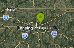
Park Lake Beach
Bath
46.5 miles WSmall free township beach on the north shore of Park Lake in Bath Township, Michigan, with a defined swim area, pavilion and fishing dock next to the Park Lake Creamery. Check for E. coli advisories before swimming.
SwimNearby Campsites
Eastwood Beach
Washington Township
24.6 miles EUnguarded sand beach on 500-acre Stony Creek Lake in Stony Creek Metropark, Washington Township, with changing rooms, a big playground and kayak rentals. A $10 Metroparks daily vehicle pass gets you in.
Camp, Canoe, Hike, Kayak, Swim
Portage Lake Beach
Grass Lake
40.5 miles SWThe day-use swimming beach on Big Portage Lake in Waterloo Recreation Area, Michigan's largest Lower Peninsula state park. A state Recreation Passport is required for vehicles.
Camp, Canoe, Hike, Kayak, Swim


