


186 Things to do near Jumping Rock at Phelp's Lake
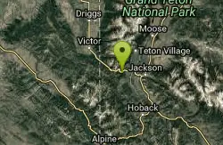
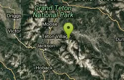
first prev 1 2 3 4 5 6 7 8 9 10 next lastShowing results within 50 miles Distance miles of LSR Preserve Entrance Road, Jackson, WY 83001, USA City, Zip, or Address
Black Canyon
Wilson, Wyoming
11.5 miles SWTrail starts at the parking lot ontop of the pass. Take the service road on the west side of the parking lot. The road will turn into singletrack when you reach a service building...
Mountain Bike 3.8-6.4 mi
Table Rock / Table Mountain
Driggs, Idaho
11.5 miles NWAt 11,300 feet, Table Mountain is possibly the most beautiful climb this side of the Tetons and offers what may well be the very best view of the Grand Tetons. It's just far enough away...
Camp, Hike
Teton Canyon Campground
Alta, Wyoming
11.6 miles NWTeton Canyon is the start of several great adventures, including the Alaska Basin Trail, Table Rock, Devil's Stairs, and the Teton Crest. The campground offers a perfect basecamp to get an...
Camp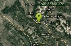
Fuzzy Bunny/Power Line Jumps/Parallel
Wilson, Wyoming
12.2 miles SWThis is a steep, fast, rugged downhill trail with some freeride features that are also "ride-around-able." At the end of Fuzzy Bunny, look for Power Line Jumps off the Old Pass Road...
Mountain Bike
Reunion Flat Campground
Alta, Wyoming
12.7 miles NWCamp near Alta, Wyoming
Camp
Darby Canyon Camping
Alta, Wyoming
12.8 miles WThere's no official campgrounds up the canyon but there are several dispersed campsites with existing fire lays. Please adhere to principles of Leave No Trace. Use existing fire lays and leave...
Camp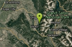
Darby Canyon Cliffs
Alta, Wyoming
13.0 miles WAn interesting cave by Darby Canyon is the major draw to this popular west slope hike, closely followed by intermittent waterfalls splashing down the canyon rim along with impressive displays of...
Rock Climb 4.6 mi
Coal Creek Trail
Alta, Wyoming
13.4 miles SWEnjoy outstanding views from upper Coal Creek Meadows, this hike description travels just beyond the meadows to the top of Coal-Mesquite Divide where you'll enjoy some rather dramatic views of...
Hike, Mountain Bike
Blue Miner Lake
Jackson, Wyoming
13.7 miles EBackpack and Hike near Jackson, Wyoming
Backpack, Hike
Cache Creek Trial
Jackson, Wyoming
13.9 miles SHilly terrain with an elevation gain/loss of 850’. Groomed 4.6 miles to Noker Mine Draw on Monday, Wednesday and Friday, generally in the morning. Snowmobiles are allowed on the Cache Creek...
Hike 4.5 mi
Sheep Bridge Trail
Driggs, Idaho
14.1 miles NWThis is a great easy trail for beginner hikers or mountain bikers. In the early summer, you'll find many beautiful wildflowers and large kaleidoscopes of butterflies to go with them. You...
Hike, Mountain Bike 7.1 mi
Mill Creek Trail
Moose, Wyoming
14.2 miles NWThere are two ways to do this ride, one as a loop with the Targhee road providing the bulk of the climb, or as an out and back (up the trail and back down). Keep in mind that this trail is...
Cross-country Ski, Mountain Bike, Snowshoe
Mt. Moran
Alta, Wyoming
14.4 miles NMount Moran (12,610 feet (3,840 m)) is a mountain in Grand Teton National Park of western Wyoming, USA. The mountain is named for Thomas Moran, an American western frontier landscape artist....
Hike 4.0 mi
Quakie Ridge
Moose, Wyoming
14.5 miles NWTrail starts at the base ski area on a service road then heads out on nice single track. Trail winds through meadows of wildflowers. Some minor altitude gain along the trail. The...
Mountain Bike 2.1 mi
Buffalo Soldier
Moose, Wyoming
14.5 miles NWTrail is a nice loop, all singletrack, with about 300' of elevation gain. Trail is about 1.8 miles one way. You can also use it as a connector to Mill Creek or lightning loop. Buffalo...
Mountain Bike 1.1 mi
More Cowbell
Moose, Wyoming
14.5 miles NWThis singletrack trail winds through aspens, high alpine meadows and old growth conifers.
Mountain Bike 1.9 mi
Perm-a-grin
Moose, Wyoming
14.5 miles NWPerma Grin is guaranteed to fix a smile on your face indefinitely! This swooping, flowing, smooth singletrack descends the hillside above Rick's Basin.
Mountain Bike 0.6-4.0 mi
Grand Targhee XC Park
Moose, Wyoming
14.5 miles NWMountain Bike 4.5 mi

Aspen Trail
Alta, Wyoming
14.6 miles NWAspen Trail (tr 034) is single track trail for 4.35 miles along 6,800 ft contour to Darby Canyon (tr 012). Spring Creek Trail (tr 032) is double track trail for 3.68 miles to end. The trail starts...
Hike, Mountain Bike
Cold Springs
Moose, Wyoming
14.8 miles NWTrail is easiet down as a loop but can be done as a shuttle as well. Take a right into Teton Canyon and park at the first big parking lot on the left. About 50 yards from Ski Hill rd....
Mountain Bike


