


Mt. Moran
Alta, Wyoming
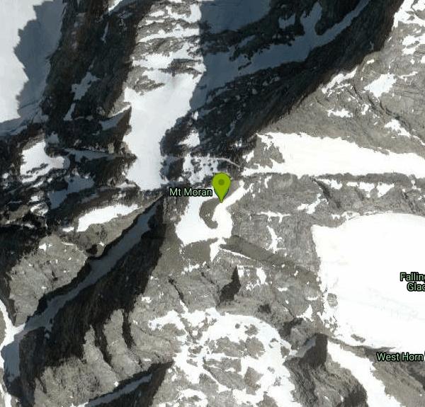
| Address: | Mt Moran, Wyoming 83414, USA |
| GPS: |
43°50'6.8"N 110°46'34.8"W Maps | Directions |
| State: | Wyoming |
Hike
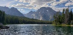
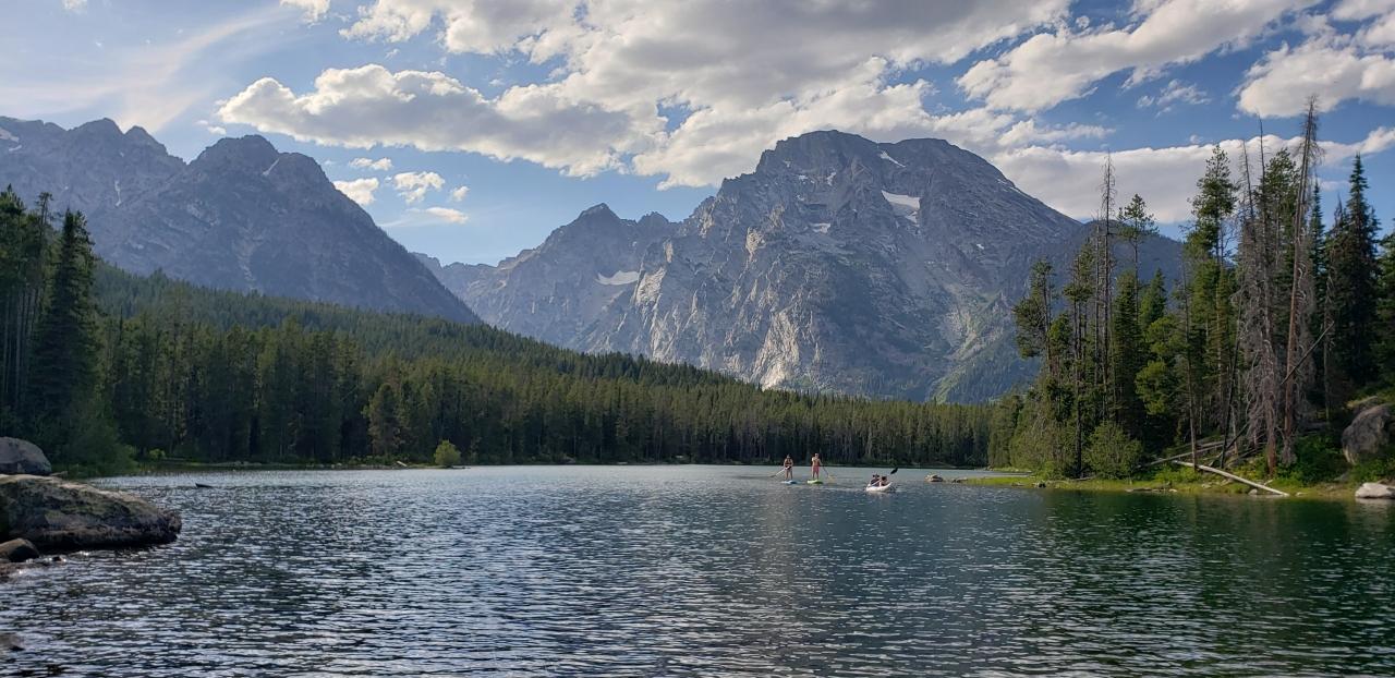
Mount Moran (12,610 feet (3,840 m)) is a mountain in Grand Teton National Park of western Wyoming, USA. The mountain is named for Thomas Moran, an American western frontier landscape artist. Mount Moran dominates the northern section of the Teton Range rising 6,000 feet (1,800 m) above Jackson Lake. Several active glaciers exist on the mountain with Skillet Glacier plainly visible on the monolithic east face. Like the Middle Teton in the same range, Mount Moran's face is marked by a distinctive basalt intrusion known as the Black Dike.Courtesy of en.wikipedia.org
More Information
Climbing Mount Moran - CMC Route, Grand Teton National Park
Come join us for a climb up Grand Teton National Parks Mt Moran. Learn all about the popular CMC Route up this fine alpine peak.
https://www.timberlinetrails.com/Moran.htmlRock Climbing in Mount Moran, Grand Teton National Park
Find rock climbing routes, photos, and guides for every state, along with experiences and advice from fellow climbers.
https://www.mountainproject.com/area/105823389/mount-moranBe courteous, informed, and prepared. Read trailhead guidelines, stay on the trail, and don't feed the wildlife.
Read More
- Plan Ahead and Prepare
- Travel & camp on durable surfaces
- Dispose of waste properly
- Leave what you find
- Minimize campfire impacts
- Respect wildlife
- Be considerate of other visitors
Directions
- Get directions on Google Maps



Other Hiking Trails Nearby
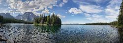
Leigh Lake
Alta, Wyoming
3.9 miles SETucked beneath Mount Moran and just a mile from the String Lake trailhead, Leigh Lake rewards with majestic serenity, shoreline views of Boulder Island, and calm waters perfect for kayaking or canoeing.
Backpack, Canoe, Hike, Kayak 3.6 mi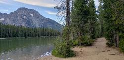
String Lake
Jackson Hole, Wyoming
4.1 miles SEA shallow, warm lake connecting Jenny and Leigh Lakes at the base of the Tetons — the clear water lets you see the bottom from a kayak, wade easily with kids, and access wilder open water beyond.
Canoe, Hike, Kayak, Swim 10.5-16.2 mi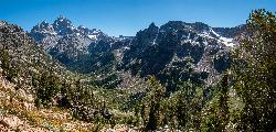
Paintbrush Canyon
Jackson Hole, Wyoming
4.3 miles SEA beautiful trail along String Lake, Leigh Lake, and Lake Solitude in Grand Teton — with a short, rewarding scramble to the secluded Micah Lake perch for even fewer crowds.
Backpack, Hike 1.0-5.1 mi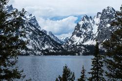
Jenny Lake Trail
Jackson Hole, Wyoming
5.0 miles SAn easy loop around Jenny Lake in Grand Teton National Park — visiting Hidden Falls, Inspiration Point, and abundant wildlife including marmots, moose, and occasional bears along the well-built stone-stair trail.
Hike 24.3 mi
Cascade Canyon Trail
Jackson Hole, Wyoming
6.4 miles SEA wildlife-rich canyon hike past Hidden Falls and into Cascade Canyon, where waterfalls pour off glacier-fed mountains flanking the Grand Teton.
Backpack, Hike
Teewinot Mountain
Jackson Hole, Wyoming
7.1 miles STeewinot Mountain is a 12,325-ft Teton spire above Jenny Lake — the range's deadliest peak and a committing 4th-class East Face climb, not a hike.
Backpack, Hike
Mount Owen
Jackson, Wyoming
7.2 miles SMount Owen is the second-highest peak in the Teton Range, a striking 12,928-foot summit rising in the heart of Grand Teton National Park, Wyoming, just north of its famous neighbor, the Grand Teton....
Hike 13.8 mi
Middle Teton
Jackson Hole, Wyoming
7.2 miles SThe 12,804-ft Middle Teton rewards serious alpinists with glacier bouldering through the Southwest Couloir and panoramic views of the Grand, South, and surrounding Tetons.
Backpack, Hike, Rock Climb 3.9-14.4 mi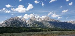
Grand Teton
Jackson Hole, Wyoming
7.2 miles SAt 13,770 feet, the Grand Teton towers over Western Wyoming — all popular routes require rock climbing gear and are for skilled climbers only, with 3,000 feet of exposure where a fall is fatal.
Backpack, Hike, Rock Climb 4.9 mi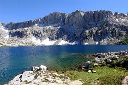
Amphitheater Lake
Alta, Wyoming
7.3 miles SAmphitheater Lake is one of Grand Teton National Park's most rewarding alpine destinations — a sparkling cirque lake cradled in granite high above the treeline, beneath the soaring peaks of...
Backpack, Hike 7.9 mi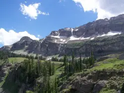
Devil's Stairs
Driggs, Idaho
8.8 miles SWAn 8-mile round-trip trail that starts from the Teton Canyon Trailhead, climbs 1,000 feet in switchbacks, and arrives at a stunning high meadow filled with wildflowers and framed by a towering cliff.
Backpack, Hike 15.0-18.4 mi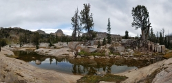
Alaska Basin
Driggs, Idaho
8.8 miles SWA stunning trail through the Jedediah Wilderness into Wyoming near Grand Teton National Park, with wildflowers, rushing rivers, the Teton Range, and the serene Alaska Basin — intermediate to advanced.
Backpack, Hike, Horseback 3.8-6.4 mi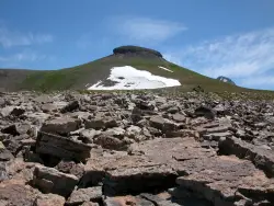
Table Rock / Table Mountain
Driggs, Idaho
8.9 miles SWA big climb to 11,300 feet for arguably the finest view of the Grand Tetons — pick the steep Face or the gradual Huckleberry trail.
Camp, Hike 4.5 mi
Sheep Bridge Trail
Driggs, Idaho
11.7 miles SWAn easy 2.25-mile trail through summer wildflowers and kaleidoscopes of butterflies along Teton Creek — cross a bridge, meander east, and dip down to the creek at a midway rest spot.
Hike, Mountain Bike 6.2 mi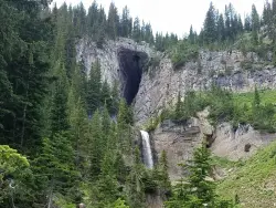
Darby Wind Cave
Driggs, Idaho
14.1 miles SWWaterfalls, wildflowers, creek crossings, and a wind cave high on the canyon wall — Darby's switchback trail rewards hikers with views found nowhere else in the Tetons.
Backpack, Cave, Hike, Rock Climb 1.3-4.3 mi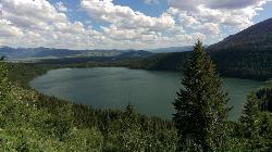
Phelps Lake
Jackson, Wyoming
14.4 miles SA 5.5-mile loop around beautiful Phelps Lake with mountain scenery, majestic blue water, several Teton waterfalls, and lakeside campsites — plus a popular cliff jumping rock along the trail.
Backpack, Camp, Dive, Hike, Swim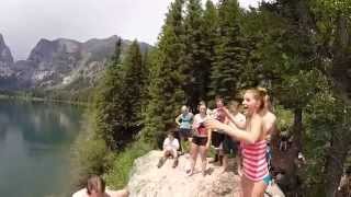
Jumping Rock at Phelp's Lake
Jackson, Wyoming
14.4 miles SA solo 20-foot boulder perched above deep water at Phelps Lake, with Death Canyon looming overhead — one of the most dramatic jump spots in all of Wyoming.
Dive, Hike, Swim 4.5 mi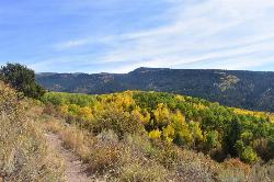
Aspen Trail
Alta, Wyoming
15.2 miles SWFlowing singletrack along a 6,800-ft ridgeline contour connects to Darby Canyon on a mix of smooth and rocky terrain — a satisfying intermediate out-and-back or loop.
Hike, Mountain Bike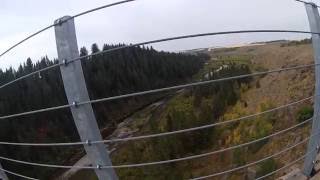
Bitch Creek Trestle
Tetonia, Idaho
20.4 miles NWA Rails-to-Trails railroad bridge converted into an easy family viewpoint above Bitch Creek — part of the 30-mile Ashton-Tetonia Trail with more trestle adventures nearby.
Hike 1.9 mi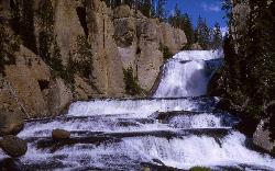
Terraced Falls
Grant Village, Yellowstone National Park
20.6 miles NAn easy 3.6-mile out-and-back hike to a tiered waterfall along the southern Yellowstone border — the trailhead is on the Ashton-Flagg Ranch Road, which closes in winter.
HikeNearby Campsites
Jenny Lake Campground
Jackson Hole, WY
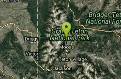
6.4 miles SETucked right at the base of the Tetons, this tent-only campground fills before 8 AM in summer for good reason — alpine beauty, quiet sites, and unbeatable Teton proximity.
Camp 3.8-6.4 mi
Table Rock / Table Mountain
Driggs, Idaho
8.9 miles SWA big climb to 11,300 feet for arguably the finest view of the Grand Tetons — pick the steep Face or the gradual Huckleberry trail.
Camp, Hike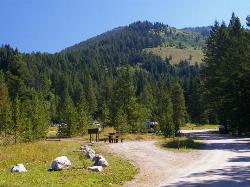
Teton Canyon Campground
Alta, Wyoming
9.0 miles SWTeton Canyon Campground is the gateway to Alaska Basin, Table Rock, and the Teton Crest Trail — each site stocked with a picnic table, fire ring, and bear box.
Camp
Reunion Flat Campground
Alta, Wyoming
10.3 miles SWCamp near Alta, Wyoming
Camp 1.3-4.3 mi
Phelps Lake
Jackson, Wyoming
14.4 miles SA 5.5-mile loop around beautiful Phelps Lake with mountain scenery, majestic blue water, several Teton waterfalls, and lakeside campsites — plus a popular cliff jumping rock along the trail.
Backpack, Camp, Dive, Hike, Swim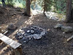
Darby Canyon Camping
Alta, Wyoming
16.5 miles SWDispersed campsites with fire lays in scenic Darby Canyon — no official campground, just established spots in Wyoming wilderness. Leave No Trace and use existing rings only.
Camp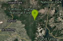
Loon Lake
Ashton, Idaho
21.1 miles NWLoon Lake is a small, lively mountain lake tucked into the Caribou-Targhee National Forest just off Ashton's Fish Creek Road, in the timbered high country of eastern Idaho near the gateway to...
Camp, Kayak, Swim
Sheep Falls on Fall River
Ashton, Idaho
23.1 miles NWA local gem off Cave Falls Road where the river splits into multiple falls tumbling over each other — primitive campsites and beautiful views make it a great picnic stop.
Camp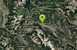
Crystal Creek Campground
Jackson, Wyoming
23.2 miles SEA small, peaceful campground along two Wild and Scenic Rivers — the Gros Ventre and Crystal Creek — with nearby options for hiking, biking, and OHV riding.
Camp
Cave Falls of Yellowstone
Ashton, Idaho
23.9 miles NWA campground right on the Fall River along Yellowstone's south boundary puts you steps from legendary fishing, with fire rings and bear-proof boxes at each site.
Camp, Hike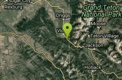
Mike Harris Campground
Victor, Idaho
24.2 miles SWA scenic mountain campground at 6,200 feet along Teton Pass just 5 miles from Victor, Idaho — a peaceful base for fishing, trail exploring, and sightseeing in the Teton region.
Camp
Horseshoe Lake
Ashton, Idaho
27.7 miles NWA lily-pad-dotted lake hidden in the Targhee National Forest with a gradual beach entry perfect for wading, a floating dock for jumping, and no motorized boats.
Camp, Canoe, Dive, Swim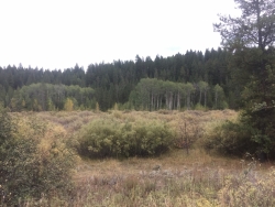
Porcupine Creek
Ashton, Idaho
28.1 miles NWA backcountry hunting, fishing, camping, and swimming spot in Targhee National Forest, surrounded by forests, meadows, a creek, and unmarked trails — bear country, so pack and store food carefully.
Camp, Swim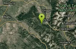
Pine Creek Campground
Victor, Idaho
28.1 miles SWThe Pine Creek Campground has 10 single units and has restrooms.
Camp 0.1 mi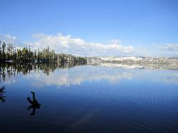
Lewis Lake Campground
Grant Village, Yellowstone National Park
31.8 miles NYellowstone's third-largest lake draws canoeists, kayakers, and serious anglers, with a quiet campground open mid-June through early November on a first-come basis.
Camp, Canoe, Kayak 17.5 mi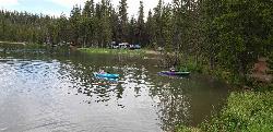
Tear Drop Lake
Ashton, Idaho
32.1 miles NWA small, lively lake in the Targhee forest for kayaking, swimming, and an easy loop trail — family fun with primitive lakeside camping.
Camp, Canoe, Hike, Kayak, Mountain Bike, Swim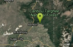
Warm River Campground
Ashton, Idaho
33.0 miles NWSlow-moving warm water and willow-lined banks make this campground a perfect spot for tubing, trout fishing, and peaceful mountain biking at 5,200 ft elevation.
Camp 0.3-0.6 mi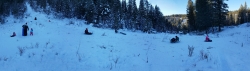
Bear Gulch
Ashton, Idaho
33.4 miles NWAn abandoned ski hill from 1969 with overgrown runs that still deliver great sledding — the lower run is fast and winding all the way down to the old ski lift.
Camp, Cross-country Ski, Hike, Sled 6.9 mi
Heart Lake Trail
Grant Village, Yellowstone National Park
34.5 miles NAn 8-mile moderate hike to a remote backcountry lake with blue thermal pools, fumaroles, Rustic Geyser, and remarkable fishing for native cutthroat, mountain whitefish, and Arctic grayling.
Backpack, Camp, Hike, Hot Springs
Moody Meadows
Driggs, Idaho
36.0 miles WGood place for kids, they can ride bikes in the meadow, play in the stream, and camping is off of the road. Hiking, motorbiking, and horseback riding trails are abundant in the area.
Camp


