


19 Things to do near Morrell Falls National Recreation Trail
first prev 1 next lastShowing results within 50 miles Distance miles of Morrell Falls National Recreation Trail near Condon, Montana City, Zip, or Address
Seeley Lake Campground
Seeley Lake
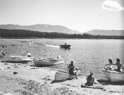
7.0 miles SFree Lolo National Forest day-use beach with a roped swim area and boat launch on the west shore of Seeley Lake, reached from the north end of Boy Scout Road since the south bridge closed.
Camp, Canoe, Kayak, Swim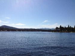
River Point Campground
Seeley Lake
7.1 miles SFree roped swim beach at a Lolo National Forest campground on the west shore of Seeley Lake, where the Clearwater River leaves the lake, about 2 miles from the town of Seeley Lake.
Camp, Canoe, Hike, Kayak, Swim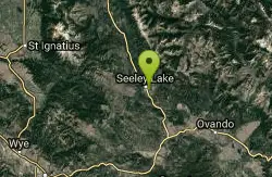
Blackhawk Disc Golf
Seeley Lake, Montana
7.7 miles STowering Ponderosa Pines along Morrell Creek frame this flat, well-marked disc golf course at Seeley Lake's high school — no alcohol on school property.
Disc Golf
Alpine Trail #7
Bigfork, Montana
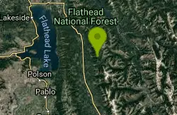
38.4 miles NA sweeping 54.7-mile multi-use trail from the Columbia Mountain junction to Inspiration Point, open to hikers, bikers, and motorcycle riders near Bigfork, Montana.
Mountain Bike
Pattee Canyon
Missoula, Montana
39.2 miles SWA park-like wooded disc golf course near Missoula that's beginner-friendly but still challenging — closed November 1 to July 1 to protect ski trails in winter and vegetation in spring.
Disc Golf
Echo Valley
Frenchtown, Montana
40.1 miles SWA disc golf course set in Lolo National Forest meadows, trees, and hills with a small stream crossing — pack out your trash in this scenic Montana setting.
Disc Golf
Ymca Skatepark Of Missoula
Missoula, Montana
40.2 miles SWSkateboard near Missoula, Montana
Skateboard
South Lost Creek Trail #86
Bigfork, Montana
41.0 miles NA 5.8-mile trail climbing 2,200 feet near Bigfork — caution advised near the first mile where a 2010 wildfire left standing dead trees and unstable terrain.
Mountain Bike
Gaten Hill/Upper Miller Creek Hill
Missoula, Montana
42.5 miles SWgentle slope
Sled
Nicole Park
Missoula, Montana
43.1 miles SWSlope: ~45° Length:~100-200ft
Sled
Riverside Park
Polson, Montana
43.2 miles NWSwim near Polson, Montana
Swim
Rainbow Park
Missoula, Montana
43.4 miles SWRainbow Park is one of Missoula's best-kept sledding secrets, a neighbourhood park up on the Linda Vista bench southwest of town where the hill does exactly what a sledding hill should. Locals...
Sled
Blue Mountain
Missoula, Montana
43.4 miles SWThree 500-foot-plus holes, beautiful scenery, and a generous helping of elevation make Blue Mountain one of the most rewarding free disc golf outings in Missoula.
Disc Golf
Stony Hill Trail #231
Hungry Horse, Montana
43.7 miles NA 6.4-mile trail open for hiking, backpacking, horseback riding, and mountain biking from a forest junction to the Stony Hill Communication Site near Hungry Horse.
Mountain Bike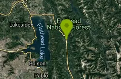
Bond Creek Trail #21
Bigfork, Montana
46.4 miles NA 7.5-mile trail climbing alongside a creek through an avalanche slide path to two alpine lakes, with a popular waterfall picnic spot at the 3.5-mile mark.
Mountain Bike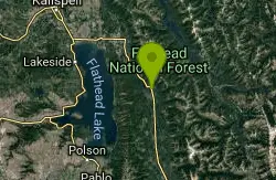
Hall Lake Trail #61
Bigfork, Montana
47.9 miles NA 5.8-mile mountain trail climbing about 2,000 feet to Hall Lake — open to hikers, horseback riders, and mountain bikers, ending at the Alpine Trail junction.
Mountain Bike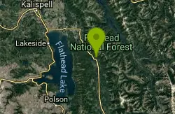
Sixmile Sidehill Trail #27
Bigfork, Montana
49.2 miles NA 2.5-mile multi-use trail for hikers, mountain bikers, horseback riders, and motorcyclists branching from the Sixmile Lookout Trail — bring a map and respect private property at the north end.
Mountain Bike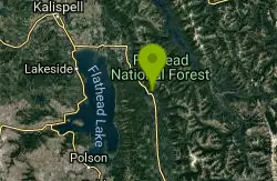
Sixmile Lookout Trail #10
Bigfork, Montana
49.2 miles NA demanding 4.6-mile mountain trail climbing 3,400 feet to Sixmile Peak near Bigfork — open for hiking, mountain biking, horseback riding, and motorcycle use.
Mountain Bike
Beardance
Bigfork, Montana
49.8 miles NWA stinking-killer climb up Beardance Trail 314 rewards mountain bikers with a sweet singletrack descent on steep switchbacks, rocks, roots, drops, and stunning Flathead Lake views.
Mountain Bike


