


155 Things to do near Verde Hot Springs
first prev 1 2 3 4 5 6 7 8 next lastShowing results within 50 miles Distance miles of Child's Power Rd, Arizona, USA City, Zip, or Address
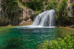
Fossil Creek Waterfall
Pine, Arizona
6.2 miles NEOne of Arizona's two Wild and Scenic rivers, with a short hike from a dirt-road parking area to a deep pool at the base of the falls — watch for snakes on the trail.
Hike, Swim 1.1-4.6 mi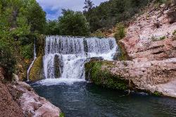
Fossil Creek Dam (Toilet Bowl)
Pine, Arizona
8.4 miles NEA waterfall over an old Fossil Creek dam with a spinning natural rock slide that launches swimmers into the main pool — plus a shallow cave for shade on hot Arizona days.
Dive, Hike, Swim 0.1-3.8 mi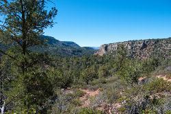
Fossil Springs Trail No. 18
Pine, Arizona
8.4 miles NEA 4.75-mile desert canyon trail to the springs and an old dam in the Fossil Springs Wilderness — little shade and a brutal uphill return make summer visits genuinely dangerous.
Hike, Horseback, Swim 0.4 mi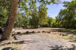
Clear Creek Campground
Camp Verde, Arizona
12.2 miles NA grassy creekside campground shaded by tall cottonwoods on West Clear Creek — ideal for hiking, swimming, fishing for smallmouth bass and sunfish, and wildlife watching in a desert canyon oasis.
Camp, Hike, Swim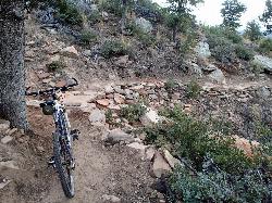
Bearfoot Trail
Strawberry, Arizona
12.8 miles EBearfoot Trail (#13) is a mellow, shady Mogollon Rim hike and mountain-bike ride linking Strawberry to Pine Creek, near Pine, Arizona.
Hike, Mountain Bike 3.0 mi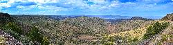
Blodgett Basin Trail No. 31
Camp Verde, Arizona
13.3 miles NA 3-mile riparian canyon trail through West Clear Creek Wilderness with 1,700 feet of elevation change, fishing, camping, and wading in a desert oasis — expect to get your feet wet.
Backpack, Hike, Swim 8.4 mi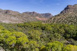
West Clear Creek Trail No. 17
Camp Verde, Arizona
13.3 miles NWest Clear Creek Trail winds down a shaded canyon to cool creek swimming, fishing, and dispersed camping — bring wading shoes, because wet feet are guaranteed.
Backpack, Hike, Swim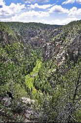
Bullpen Day Use Area
Camp Verde, Arizona
13.3 miles NA big red jumping rock on West Clear Creek, shaded picnic areas, and trails down a stunning canyon below the Mogollon Rim — a full afternoon of swimming and hiking.
Backpack, Dive, Hike, Swim 0.6-2.9 mi
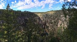
Tramway Trail No. 32
Happy Jack, Arizona
21.4 miles NEA steep, rock-scrambling descent through the Mogollon Rim to West Clear Creek, with deep fishing and swimming holes waiting at the bottom — not for beginners.
Hike, Rock Climb, Swim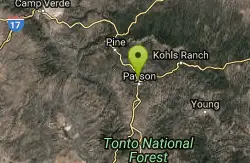
Rumsey Park
Payson, Arizona
22.0 miles EA 9-basket dual-tee disc golf course in Payson with dirt tees and no signs — bring the map to navigate this understated but playable layout.
Disc Golf
Beaver Creek Campground
Camp Verde, Arizona
22.3 miles NBeaver Creek is a refreshing creekside oasis in the high desert of central Arizona, where the cool, clear waters of Wet Beaver Creek wind beneath big cottonwoods and sycamores in the Coconino...
Camp, Canoe, Kayak, Swim 7.1 mi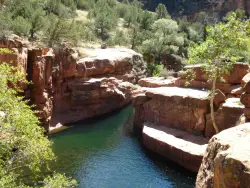
The Crack at Wet Beaver Creek
Rimrock, Arizona
22.6 miles NCrystal-clear water and cliffs high enough to jump from, about 3.5 miles down Bell Trail along Wet Beaver Creek — a rewarding desert hike to a stunning red-rock swimming hole.
Dive, Hike, Horseback, Swim
Beaver Creek Dispersed Camping
Rimrock, Arizona
22.6 miles NThis free dispersed camping area sits on the cliffs above Wet Beaver Creek in the Coconino National Forest of central Arizona, in the red-rock and juniper country near Rimrock and Camp Verde, not far...
Camp 1.0 mi
Maxwell Trail No. 37
Happy Jack, Arizona
22.6 miles NEMaxwell Trail drops from the Mogollon Rim down into West Clear Creek, ending at shaded swimming holes, small caves, and great fishing — water shoes required.
Hike, Swim 0.2-0.6 mi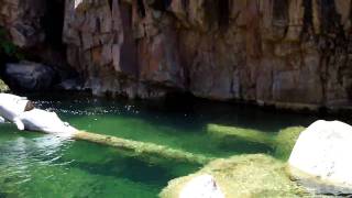
Ellison Creek Falls
Payson, Arizona
23.8 miles EFour waterfalls, multiple swimming holes, and trout fishing along Ellison Creek near Payson — the most popular stop is a short walk from the parking lot.
Dive, Hike, Swim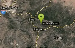
Payson Area
Cornville, Arizona
24.0 miles EThe Payson area northeast of Phoenix offers numerous swimming holes in the Tonto National Forest rivers, including Ellison Creek Falls, Christopher Creek Gorge, Fossil Creek, and Verde Hot Springs.
Swim 3.9 mi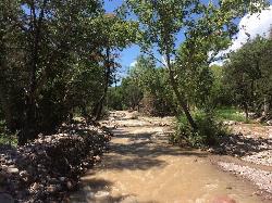
Cave Creek Swimming Hole
Cave Creek, Arizona
27.7 miles SA refreshing desert swimming hole at the end of nearly four miles of Cave Creek Trail — worth the cactus-country hike for the cool pool waiting in the shade.
Hike, Swim 0.2 mi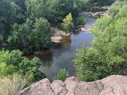
Mormons Crossing
Cornville, Arizona
29.8 miles NShaded swimming holes, gentle rapids, and a rope swing along Oak Creek — an easy spot to cool off in Cornville.
Swim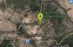
Cathedral Rock Trail
Sedona, Arizona
30.2 miles NAccess via a tunnel under Highway 179, this Sedona trail delivers fast rolling flow with some good-sized drops on the downhill sections.
Mountain Bike
Slim Shady
Sedona, Arizona
30.5 miles NA 2.4-mile one-way backbone trail connecting Yavapai Point to Made in the Shade, Hiline, and more — a key link in Sedona's trail network for mountain bikers.
Mountain Bike


