


Bullpen Day Use Area
Camp Verde, Arizona
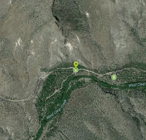
| Address: | Bullpen Day Use Area, Bull Pen Rd, Camp Verde, AZ 86322, USA |
| GPS: |
34°32'25.0"N 111°42'28.0"W Maps | Directions |
| State: | Arizona |
Restrooms Rivers Trails Fishing
Backpack, Dive, Hike, and Swim
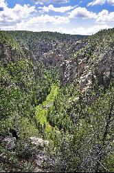
Bullpen Day Use Area — better known to locals as the Bull Pen swimming hole — is a shady, family-friendly stretch of West Clear Creek below the Mogollon Rim near Camp Verde, Arizona. It's one of the most beloved cool-off spots in the Verde Valley: clear creek water, red-rock canyon walls, cliffs for jumping, and (if you're lucky) a rope swing or two, all within an easy walk of the parking area.
A short hike of about three-quarters of a mile from the lot leads down to the water, where a popular spot with a big red rock draws jumpers of all nerve levels — there are ledges of a few different heights, and the creek reaches around 7 feet deep in the swimming hole. It's a great spot for kids and families, with plenty of shallow water to splash in too. Beyond the swimming hole, the West Clear Creek Trail continues up a gorgeous canyon, so you can turn a quick swim into a full day of exploring, wading, and rock-hopping deeper into the wilderness.
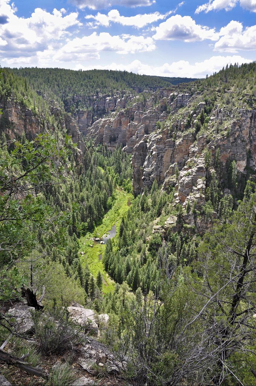
The setting is the payoff. West Clear Creek carves one of the longest and most rugged canyons below the Mogollon Rim, and the water here runs clear and cool even when the desert above is baking. Anglers fish the creek, hikers work their way up the canyon, and on a hot afternoon the shaded pools are pure relief.
A few practical notes. Getting there involves a drive on Forest Road 618 (off Highway 260 east of Camp Verde), including some dirt road, so allow time. There's a vault toilet and room to park and picnic, but no trash service, so pack out everything you bring. This is a day-use area only — no overnight camping is allowed at Bullpen or the trailhead, though backpackers can find dispersed camping farther down the creek in the West Clear Creek Wilderness.
West Clear Creek is also a gateway to real backcountry. Strong hikers and backpackers use the trailhead here to launch multi-day trips deep into the West Clear Creek Wilderness, following the canyon upstream through a maze of pools, boulder gardens, and sheer red-and-cream cliffs — some sections require swimming through deep, cold pools with your pack. Even if you never go that far, the wildlife-rich riparian corridor, alive with birds, dragonflies, and the odd deer coming down to drink, makes the shaded creekside a lovely place to linger.
Come prepared with water shoes for the rocky creek bed, sun protection, and plenty of drinking water, and always check the depth before you jump, since water levels change with the season and flash floods can roar through this canyon after summer storms. Late spring through early fall is prime swimming season. Whether you stay by the swimming hole or venture up the canyon, Bull Pen is a classic Arizona creek day.
More Information
Bull Pen Swimming Hole
Bull Pen swimming hole. Cool off this summer at one of Arizona
http://www.azswimmingholes.com/bull_pen.htmlCoconino National Forest : Recreation Site - Bull Pen Day Use Area & Trailhead
This popular day-use area is the trailhead for several trails.
https://www.fs.usda.gov/r03/coconino/recreation/bull-pen-day-use-area-trailheadBe courteous, informed, and prepared. Read trailhead guidelines, stay on the trail, and don't feed the wildlife.
Read More
- Plan Ahead and Prepare
- Travel & camp on durable surfaces
- Dispose of waste properly
- Leave what you find
- Minimize campfire impacts
- Respect wildlife
- Be considerate of other visitors
Directions
From Camp Verde, Arizona
- Head south on S Main St toward S 1st St (0.5 mi)
- Turn left onto AZ-260 E (5.4 mi)
- Turn left onto Forest Service Rd 618 (2.2 mi)
- Continue straight onto Bull Pen Rd (2.9 mi)


Added by camilledupar
Other Swimming Holes, Hiking Trails, Diving Platforms, and Backpacking Trails Nearby
West Clear Creek Trail No. 17
Camp Verde, Arizona
0.0 miles SWWest Clear Creek Trail winds down a shaded canyon to cool creek swimming, fishing, and dispersed camping — bring wading shoes, because wet feet are guaranteed.
Backpack, Hike, Swim 3.0 mi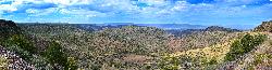
Blodgett Basin Trail No. 31
Camp Verde, Arizona
0.2 miles EA 3-mile riparian canyon trail through West Clear Creek Wilderness with 1,700 feet of elevation change, fishing, camping, and wading in a desert oasis — expect to get your feet wet.
Backpack, Hike, Swim 0.4 mi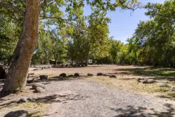
Clear Creek Campground
Camp Verde, Arizona
3.8 miles SWA grassy creekside campground shaded by tall cottonwoods on West Clear Creek — ideal for hiking, swimming, fishing for smallmouth bass and sunfish, and wildlife watching in a desert canyon oasis.
Camp, Hike, Swim
Beaver Creek Campground
Camp Verde, Arizona
9.0 miles NBeaver Creek is a refreshing creekside oasis in the high desert of central Arizona, where the cool, clear waters of Wet Beaver Creek wind beneath big cottonwoods and sycamores in the Coconino...
Camp, Canoe, Kayak, Swim 7.1 mi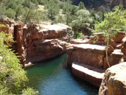
The Crack at Wet Beaver Creek
Rimrock, Arizona
9.3 miles NCrystal-clear water and cliffs high enough to jump from, about 3.5 miles down Bell Trail along Wet Beaver Creek — a rewarding desert hike to a stunning red-rock swimming hole.
Dive, Hike, Horseback, Swim 1.1 mi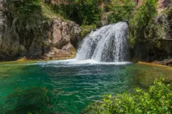
Fossil Creek Waterfall
Pine, Arizona
10.8 miles SEOne of Arizona's two Wild and Scenic rivers, with a short hike from a dirt-road parking area to a deep pool at the base of the falls — watch for snakes on the trail.
Hike, Swim 0.1-3.8 mi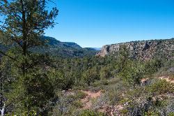
Fossil Springs Trail No. 18
Pine, Arizona
12.2 miles SEA 4.75-mile desert canyon trail to the springs and an old dam in the Fossil Springs Wilderness — little shade and a brutal uphill return make summer visits genuinely dangerous.
Hike, Horseback, Swim 1.1-4.6 mi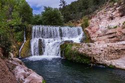
Fossil Creek Dam (Toilet Bowl)
Pine, Arizona
12.2 miles SEA waterfall over an old Fossil Creek dam with a spinning natural rock slide that launches swimmers into the main pool — plus a shallow cave for shade on hot Arizona days.
Dive, Hike, Swim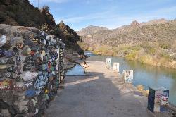
Verde Hot Springs
Camp Verde, Arizona
13.3 miles SNatural hot spring pools beside the Verde River — the remnants of an old resort — reached by wading upstream from a dispersed camping area with no amenities near Sedona.
Camp, Hike, Hot Springs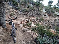
Bearfoot Trail
Strawberry, Arizona
15.8 miles SEBearfoot Trail (#13) is a mellow, shady Mogollon Rim hike and mountain-bike ride linking Strawberry to Pine Creek, near Pine, Arizona.
Hike, Mountain Bike 0.6-2.9 mi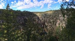
Tramway Trail No. 32
Happy Jack, Arizona
16.3 miles EA steep, rock-scrambling descent through the Mogollon Rim to West Clear Creek, with deep fishing and swimming holes waiting at the bottom — not for beginners.
Hike, Rock Climb, Swim 1.0 mi
Maxwell Trail No. 37
Happy Jack, Arizona
17.8 miles EMaxwell Trail drops from the Mogollon Rim down into West Clear Creek, ending at shaded swimming holes, small caves, and great fishing — water shoes required.
Hike, Swim 0.2 mi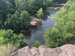
Mormons Crossing
Cornville, Arizona
17.9 miles NWShaded swimming holes, gentle rapids, and a rope swing along Oak Creek — an easy spot to cool off in Cornville.
Swim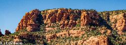
Red Rock State Park
Sedona, Arizona
20.5 miles NRed Rock's crimson sandstone layers tell 275 million years of geologic history — from ancient beachfronts to sand dunes to shallow seas — and inspired an art migration that fills the area with museums and galleries today.
Hike, Swim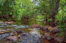
Chavez Crossing
Sedona, Arizona
21.3 miles NA campground on Oak Creek in Sedona's red-rock canyon, perfectly placed for cool water play, sunsets over Munds Mountain, and access to nearby swimming holes.
Camp, Hike, Swim 3.0 mi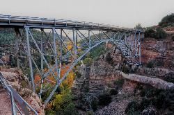
Huckaby Trail
Sedona, Arizona
22.7 miles NA 3-mile Sedona trail through Arizona Sycamores and striking Red Rock formations — crossing Oak Creek at the bottom where you can take a dip, with a boulder passage and optional mountain bike cruise on the other side.
Canoe, Hike, Mountain Bike 4.2 mi
Munds Wagon Trail
Sedona, Arizona
23.2 miles NA gnarly, loose-rock mountain bike climb near Sedona with 1,700 feet of elevation gain over six miles, delivering increasingly jaw-dropping views the higher you ride.
Hike, Mountain Bike
Midgley Bridge Trail
Sedona, Arizona
23.9 miles NHike near Sedona, Arizona
Hike
Wilson Mountain Trail
Sedona, Arizona
24.0 miles NHike near Sedona, Arizona
Hike 3.4 mi
Grasshopper Point
Sedona, Arizona
24.1 miles NCrimson red rock walls frame a teal swimming hole in Oak Creek Canyon — with multiple cliff jumping spots, picnic tables, restrooms, and access via Allen's Bend and the Huckaby Trail.
Dive, Hike, SwimNearby Campsites
Clear Creek Campground
Camp Verde, Arizona
3.8 miles SWA grassy creekside campground shaded by tall cottonwoods on West Clear Creek — ideal for hiking, swimming, fishing for smallmouth bass and sunfish, and wildlife watching in a desert canyon oasis.
Camp, Hike, Swim
Beaver Creek Campground
Camp Verde, Arizona
9.0 miles NBeaver Creek is a refreshing creekside oasis in the high desert of central Arizona, where the cool, clear waters of Wet Beaver Creek wind beneath big cottonwoods and sycamores in the Coconino...
Camp, Canoe, Kayak, Swim
Beaver Creek Dispersed Camping
Rimrock, Arizona
9.3 miles NThis free dispersed camping area sits on the cliffs above Wet Beaver Creek in the Coconino National Forest of central Arizona, in the red-rock and juniper country near Rimrock and Camp Verde, not far...
Camp
Verde Hot Springs
Camp Verde, Arizona
13.3 miles SNatural hot spring pools beside the Verde River — the remnants of an old resort — reached by wading upstream from a dispersed camping area with no amenities near Sedona.
Camp, Hike, Hot Springs
Chavez Crossing
Sedona, Arizona
21.3 miles NA campground on Oak Creek in Sedona's red-rock canyon, perfectly placed for cool water play, sunsets over Munds Mountain, and access to nearby swimming holes.
Camp, Hike, Swim 0.1-0.7 mi
Cave Springs
Sedona, Arizona
31.5 miles NAn 84-site campground on Oak Creek in Sedona's canyon, with picnic tables and natural tree shade, close to Slide Rock, swimming holes, and the Coconino National Forest.
Camp, Hike, Swim 1.1-3.5 mi
Horton Springs
Payson, Arizona
37.6 miles EA spring on the Mogollon Rim where water emerges dramatically from the mountainside — hike the easy Horton Creek Trail through wildflowers and maples, splash in the cold creek, and camp near the spring.
Backpack, Camp, Hike
Upper Tonto Creek Campground
Payson, Arizona
37.7 miles EA 9-site first-come-first-served campground at the junction of Tonto and Horton Creeks — with vault toilets, drinking water, and trailheads for Horton Spring and the Highline Trail nearby.
Camp, Hike
Hell's Gate
Payson, Arizona
41.2 miles SEHellsgate Wilderness hides deep canyon pools possibly separated by impassable falls in a remote 37,000-acre preserve — a true adventure for spring and fall explorers.
Backpack, Camp, Hike, Swim 1.1 mi
Christopher Creek Campground
Payson, Arizona
41.3 miles EA creekside campground east of Payson with swimming holes, small waterfalls, spring trout stocking, and cross-country skiing in winter — open for day-use and overnight camping spring through fall.
Camp, Canyoneer, Cross-country Ski, Hike, Swim 0.1-7.8 mi
Wolf Creek Falls
Prescott, Arizona
43.7 miles WSix miles of trails, two campgrounds, and a 90-foot waterfall that roars in spring storms and glitters as a frozen cascade in winter — Wolf Creek Falls is dramatic in every season.
Camp, Hike, Swim 4.0 mi
Woods Canyon Lake
Payson, Arizona
45.8 miles EA trout-fishing lake near Payson with a scenic loop hike and Mogollon Rim views — swimming is not recommended, but the scenery and fishing make it well worth the visit.
Camp, Hike, Swim
Aspen Campground
Payson, Arizona
45.9 miles EA large, popular campground near Woods Canyon Lake in the Apache-Sitgreaves National Forest — note that Rim Road closes in winter, so the site is inaccessible during that time.
Camp
Haigler Canyon Campground
Payson, Arizona
48.0 miles SEA 2007-built campground along Haigler Creek with 14 overnight sites, trout fishing stocked April through late August, and chiseled canyon swimming holes nearby.
Camp, Hike, Swim
Sinkhole Campground
Payson, Arizona
49.6 miles ESinkhole Campground sits in cool ponderosa pines atop the Mogollon Rim, a short walk from the trout waters of Willow Springs Lake.
Camp, Hike, Mountain Bike


