


Verde Hot Springs
Camp Verde, Arizona
| Address: | Child's Power Rd, Arizona, USA |
| GPS: |
34°20'52.9"N 111°41'50.5"W Maps | Directions |
| State: | Arizona |
Rivers
Camp, Hike, and Hot Springs
Verde Hot Springs is one of Arizona's most atmospheric and adventurous soaks — a cluster of natural hot pools tucked among the graffiti-covered ruins of a long-gone 1920s resort, perched on the bank of the Verde River deep in the forest west of Camp Verde. Reaching it takes some effort and a river crossing, which is exactly why this remote, free hot spring has such a devoted following.
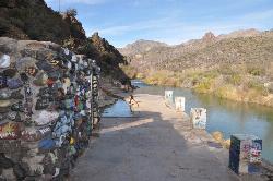
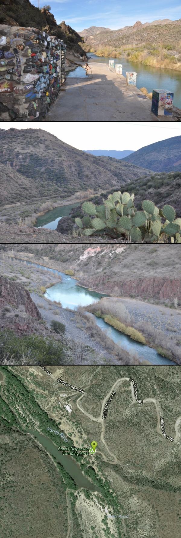
The springs sit across the river from the Childs Dispersed Camping Area, near the site of the old Childs power plant. The historic Verde Hot Springs Resort that once stood here burned down in 1962, and today its concrete foundations — now layered in colorful murals and graffiti — cradle the main soaking pool, with several more primitive pools tucked into the cliffside above the river. Soaking in the warm mineral water with the Verde flowing past and canyon walls rising overhead is a genuinely magical experience.
Getting there is part of the adventure, and it demands respect. The drive in is a long, rough dirt road where a high-clearance (ideally four-wheel-drive) vehicle is strongly recommended. From the Childs area it's a short hike of roughly 2.5 miles round trip — but you must ford the Verde River to reach the pools. On a calm day the crossing can be ankle-deep and easy; after rain or during spring runoff it can run knee- to waist-deep with a dangerous current. Never cross when the river is high or fast, check conditions before you go, and turn back if it doesn't look safe.
The site is free and open to the public with no permit required. Come fully prepared for the remote desert backcountry: bring plenty of water, sun protection, and sturdy shoes for the ford, and pack out absolutely everything. Late fall through spring offers the most pleasant temperatures and the calmest, safest river crossings. Earn it, respect the river, and Verde Hot Springs rewards you with one of the Southwest's most unforgettable soaks.
More Information
ARIZONA -- United States Hot Springs
Number of hot springs found: 60
https://deepcreekhotsprings.net/dchs/showhs.php?state=AZCoconino National Forest : Recreation
Find and Discover Recreation Sites and Trails in Coconino National Forest
https://www.fs.usda.gov/r03/coconino/recreationEnjoy Camp Verde River Kayaking in the Verde Valley
Paddle through scenic beauty with Camp Verde River kayaking. Enjoy peaceful waters, wildlife sightings, and a true Arizona adventure.
https://visitcampverde.com/verde-river/Be courteous, informed, and prepared. Read trailhead guidelines, stay on the trail, and don't feed the wildlife.
Read More
Be careful. Pay attention to posted signs and always test the waters before you get in. Some hot springs can get up to boiling temperatures. Be sure to drink plenty of water to combat the dehydrating effect of the spring.
Be respectful of other soakers and the hot spring. Don't hog the pool. Camp at least 200 yards away and keep fires in designated areas. Keep your pets out of the water and never pee in thermal feature. Glass bottles should never go near a hot spring.

- Plan Ahead and Prepare
- Travel & camp on durable surfaces
- Dispose of waste properly
- Leave what you find
- Minimize campfire impacts
- Respect wildlife
- Be considerate of other visitors
Directions
From Camp Verde, Arizona
- Head south on S Main St toward S 1st St (0.5 mi)
- Turn left onto AZ-260 E (7.3 mi)
- Turn right onto Fossil Creek RdMay be closed at certain times or days(13.8 mi)
- Sharp right onto Child's Power Rd (3.7 mi)
- Turn right to stay on Child's Power Rd (2.6 mi)
From the White Bridge in Camp Verde, go east on Hwy 260 6.8 miles to FR 708 (Fossil Creek Road); turn right and go 15 miles to the junction of FR 708 and FR 502. Go south on FR 502 for 6 miles of VERY BAD Road to the Childs Power Plant and the Verde River. Courtesy of fs.usda.gov
GPS coordinates should be accurate to within 0.57 miles

Other Hiking Trails and Hot Springs Nearby
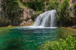
Fossil Creek Waterfall
Pine, Arizona
6.2 miles NEOne of Arizona's two Wild and Scenic rivers, with a short hike from a dirt-road parking area to a deep pool at the base of the falls — watch for snakes on the trail.
Hike, Swim 1.1-4.6 mi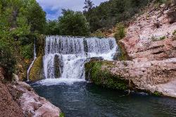
Fossil Creek Dam (Toilet Bowl)
Pine, Arizona
8.4 miles NEA waterfall over an old Fossil Creek dam with a spinning natural rock slide that launches swimmers into the main pool — plus a shallow cave for shade on hot Arizona days.
Dive, Hike, Swim 0.1-3.8 mi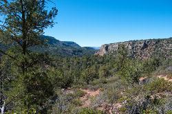
Fossil Springs Trail No. 18
Pine, Arizona
8.4 miles NEA 4.75-mile desert canyon trail to the springs and an old dam in the Fossil Springs Wilderness — little shade and a brutal uphill return make summer visits genuinely dangerous.
Hike, Horseback, Swim 0.4 mi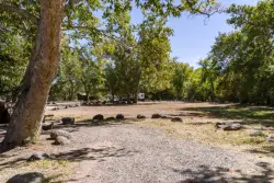
Clear Creek Campground
Camp Verde, Arizona
12.2 miles NA grassy creekside campground shaded by tall cottonwoods on West Clear Creek — ideal for hiking, swimming, fishing for smallmouth bass and sunfish, and wildlife watching in a desert canyon oasis.
Camp, Hike, Swim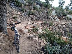
Bearfoot Trail
Strawberry, Arizona
12.8 miles EBearfoot Trail (#13) is a mellow, shady Mogollon Rim hike and mountain-bike ride linking Strawberry to Pine Creek, near Pine, Arizona.
Hike, Mountain Bike 3.0 mi
Blodgett Basin Trail No. 31
Camp Verde, Arizona
13.3 miles NA 3-mile riparian canyon trail through West Clear Creek Wilderness with 1,700 feet of elevation change, fishing, camping, and wading in a desert oasis — expect to get your feet wet.
Backpack, Hike, Swim 8.4 mi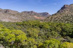
West Clear Creek Trail No. 17
Camp Verde, Arizona
13.3 miles NWest Clear Creek Trail winds down a shaded canyon to cool creek swimming, fishing, and dispersed camping — bring wading shoes, because wet feet are guaranteed.
Backpack, Hike, Swim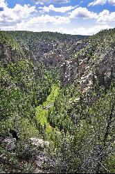
Bullpen Day Use Area
Camp Verde, Arizona
13.3 miles NA big red jumping rock on West Clear Creek, shaded picnic areas, and trails down a stunning canyon below the Mogollon Rim — a full afternoon of swimming and hiking.
Backpack, Dive, Hike, Swim 0.6-2.9 mi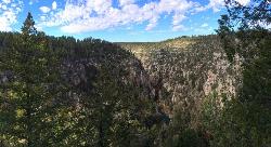
Tramway Trail No. 32
Happy Jack, Arizona
21.4 miles NEA steep, rock-scrambling descent through the Mogollon Rim to West Clear Creek, with deep fishing and swimming holes waiting at the bottom — not for beginners.
Hike, Rock Climb, Swim 7.1 mi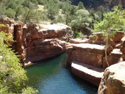
The Crack at Wet Beaver Creek
Rimrock, Arizona
22.6 miles NCrystal-clear water and cliffs high enough to jump from, about 3.5 miles down Bell Trail along Wet Beaver Creek — a rewarding desert hike to a stunning red-rock swimming hole.
Dive, Hike, Horseback, Swim 1.0 mi
Maxwell Trail No. 37
Happy Jack, Arizona
22.6 miles NEMaxwell Trail drops from the Mogollon Rim down into West Clear Creek, ending at shaded swimming holes, small caves, and great fishing — water shoes required.
Hike, Swim 0.2-0.6 mi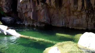
Ellison Creek Falls
Payson, Arizona
23.8 miles EFour waterfalls, multiple swimming holes, and trout fishing along Ellison Creek near Payson — the most popular stop is a short walk from the parking lot.
Dive, Hike, Swim 3.9 mi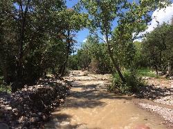
Cave Creek Swimming Hole
Cave Creek, Arizona
27.7 miles SA refreshing desert swimming hole at the end of nearly four miles of Cave Creek Trail — worth the cactus-country hike for the cool pool waiting in the shade.
Hike, Swim
East Clear Creek
Happy Jack, Arizona
33.5 miles NEA Wild and Scenic river winding through the Mogollon Rim with canyon views, cliff-scaling canyoneers, trout fishing, and deep swimming holes for a full adventure day.
Canyoneer, Hike, Swim
Red Rock State Park
Sedona, Arizona
33.6 miles NRed Rock's crimson sandstone layers tell 275 million years of geologic history — from ancient beachfronts to sand dunes to shallow seas — and inspired an art migration that fills the area with museums and galleries today.
Hike, Swim 1.1-3.5 mi
Horton Springs
Payson, Arizona
34.3 miles EA spring on the Mogollon Rim where water emerges dramatically from the mountainside — hike the easy Horton Creek Trail through wildflowers and maples, splash in the cold creek, and camp near the spring.
Backpack, Camp, Hike
Upper Tonto Creek Campground
Payson, Arizona
34.4 miles EA 9-site first-come-first-served campground at the junction of Tonto and Horton Creeks — with vault toilets, drinking water, and trailheads for Horton Spring and the Highline Trail nearby.
Camp, Hike
Chavez Crossing
Sedona, Arizona
34.5 miles NA campground on Oak Creek in Sedona's red-rock canyon, perfectly placed for cool water play, sunsets over Munds Mountain, and access to nearby swimming holes.
Camp, Hike, Swim 0.8-1.8 mi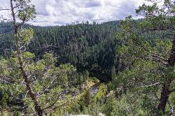
Kinder Crossing Trail #19
Happy Jack, Arizona
34.8 miles NEA short but steep 0.75-mile hike dropping 500 feet to beautiful East Clear Creek — high-clearance vehicle required on FR 95T, no motorized vehicles past the trailhead, closed in winter snow.
Hike, Swim
Hell's Gate
Payson, Arizona
35.3 miles EHellsgate Wilderness hides deep canyon pools possibly separated by impassable falls in a remote 37,000-acre preserve — a true adventure for spring and fall explorers.
Backpack, Camp, Hike, SwimNearby Campsites
Clear Creek Campground
Camp Verde, Arizona
12.2 miles NA grassy creekside campground shaded by tall cottonwoods on West Clear Creek — ideal for hiking, swimming, fishing for smallmouth bass and sunfish, and wildlife watching in a desert canyon oasis.
Camp, Hike, Swim
Beaver Creek Campground
Camp Verde, Arizona
22.3 miles NBeaver Creek is a refreshing creekside oasis in the high desert of central Arizona, where the cool, clear waters of Wet Beaver Creek wind beneath big cottonwoods and sycamores in the Coconino...
Camp, Canoe, Kayak, Swim
Beaver Creek Dispersed Camping
Rimrock, Arizona
22.6 miles NThis free dispersed camping area sits on the cliffs above Wet Beaver Creek in the Coconino National Forest of central Arizona, in the red-rock and juniper country near Rimrock and Camp Verde, not far...
Camp 1.1-3.5 mi
Horton Springs
Payson, Arizona
34.3 miles EA spring on the Mogollon Rim where water emerges dramatically from the mountainside — hike the easy Horton Creek Trail through wildflowers and maples, splash in the cold creek, and camp near the spring.
Backpack, Camp, Hike
Upper Tonto Creek Campground
Payson, Arizona
34.4 miles EA 9-site first-come-first-served campground at the junction of Tonto and Horton Creeks — with vault toilets, drinking water, and trailheads for Horton Spring and the Highline Trail nearby.
Camp, Hike
Chavez Crossing
Sedona, Arizona
34.5 miles NA campground on Oak Creek in Sedona's red-rock canyon, perfectly placed for cool water play, sunsets over Munds Mountain, and access to nearby swimming holes.
Camp, Hike, Swim
Hell's Gate
Payson, Arizona
35.3 miles EHellsgate Wilderness hides deep canyon pools possibly separated by impassable falls in a remote 37,000-acre preserve — a true adventure for spring and fall explorers.
Backpack, Camp, Hike, Swim 1.1 mi
Christopher Creek Campground
Payson, Arizona
37.7 miles EA creekside campground east of Payson with swimming holes, small waterfalls, spring trout stocking, and cross-country skiing in winter — open for day-use and overnight camping spring through fall.
Camp, Canyoneer, Cross-country Ski, Hike, Swim
Haigler Canyon Campground
Payson, Arizona
42.9 miles EA 2007-built campground along Haigler Creek with 14 overnight sites, trout fishing stocked April through late August, and chiseled canyon swimming holes nearby.
Camp, Hike, Swim
Aspen Campground
Payson, Arizona
42.9 miles EA large, popular campground near Woods Canyon Lake in the Apache-Sitgreaves National Forest — note that Rim Road closes in winter, so the site is inaccessible during that time.
Camp 4.0 mi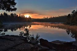
Woods Canyon Lake
Payson, Arizona
42.9 miles EA trout-fishing lake near Payson with a scenic loop hike and Mogollon Rim views — swimming is not recommended, but the scenery and fishing make it well worth the visit.
Camp, Hike, Swim 0.1-7.8 mi
Wolf Creek Falls
Prescott, Arizona
44.5 miles WSix miles of trails, two campgrounds, and a 90-foot waterfall that roars in spring storms and glitters as a frozen cascade in winter — Wolf Creek Falls is dramatic in every season.
Camp, Hike, Swim 0.1-0.7 mi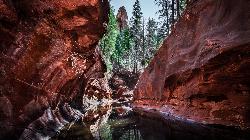
Cave Springs
Sedona, Arizona
44.8 miles NAn 84-site campground on Oak Creek in Sedona's canyon, with picnic tables and natural tree shade, close to Slide Rock, swimming holes, and the Coconino National Forest.
Camp, Hike, Swim
Sinkhole Campground
Payson, Arizona
46.4 miles ESinkhole Campground sits in cool ponderosa pines atop the Mogollon Rim, a short walk from the trout waters of Willow Springs Lake.
Camp, Hike, Mountain Bike


