


Bde Maka Ska 32nd Street Beach
Minneapolis
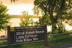
Canoe, Kayak, and Swim
Bde Maka Ska 32nd Street Beach is a small public sand beach on the east shore of Bde Maka Ska (formerly Lake Calhoun), the largest lake in Minneapolis. The Minneapolis Park and Recreation Board runs it as one of three beaches on the lake, alongside North Beach and Thomas Beach, and one of 12 beaches in the city park system. The lake covers about 424 acres and reaches 90 feet at its deepest point.
The beach address is 3200 E Bde Maka Ska Parkway, at the foot of West 32nd Street, a few blocks south of Lake Street. The park board lists a pay parking lot here (the 32nd Street lot, which also holds a small skate park), and nearby residential streets have some free curbside parking when spaces are open. The paved walking and biking paths that circle the lake pass right behind the sand, and the Minnesota DNR notes that Metro Transit routes 6, 12, 17 and 28 run within two blocks of the lake.
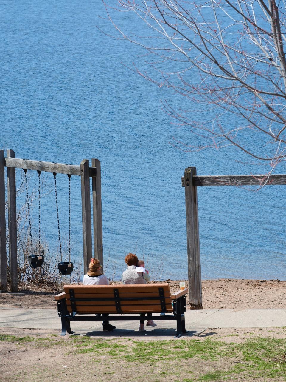
The swim area is a buoyed stretch of water off a sand beach, with a playground and benches just behind it. There are no lifeguards here. The park board's 2026 lifeguard schedule (1 pm to 7 pm daily, June 13 through August 23) covers Thomas Beach on the south shore and a few other city beaches, not this one. Stay inside the buoys: city ordinance bars swimming across any lake unless a boat goes with you, and the park board's rules ban inflatable floats, tubes and air mattresses without a permit (Coast Guard approved life jackets, foam noodles and soft balls are allowed). Children under 8 must have an adult with them at all times, dogs are not allowed on the beach or in the water, glass is banned, and the board asks people not to swim when the air is 65 degrees or colder.
There is no entrance fee. The beach is open 6 am to 10 pm daily under park ordinance PB-3-1, and swimming or gathering on the beach between 10 pm and 6 am is prohibited. The only cost is the parking lot if you drive and park there.
Water quality is the main thing to check before you go. Park board staff sample city beaches weekly from Memorial Day to Labor Day and close a beach when E. coli counts pass state limits, reopening it after a clean retest. This beach has been closed for E. coli more than once; in July 2021 it was shut twice in one summer. Staff also watch for blue-green algae and post yellow advisory signs when a bloom drifts in, and current status is shown on the board's Lake Water Quality Map. Skip swimming for about 48 hours after heavy rain, when bacteria levels tend to spike. Swimmer's itch shows up on hot, calm days, and the board recommends toweling off briskly and showering soon after you get out. Geese like to loaf on this stretch of shore, and the board has piloted lighted goose deterrent buoys here.
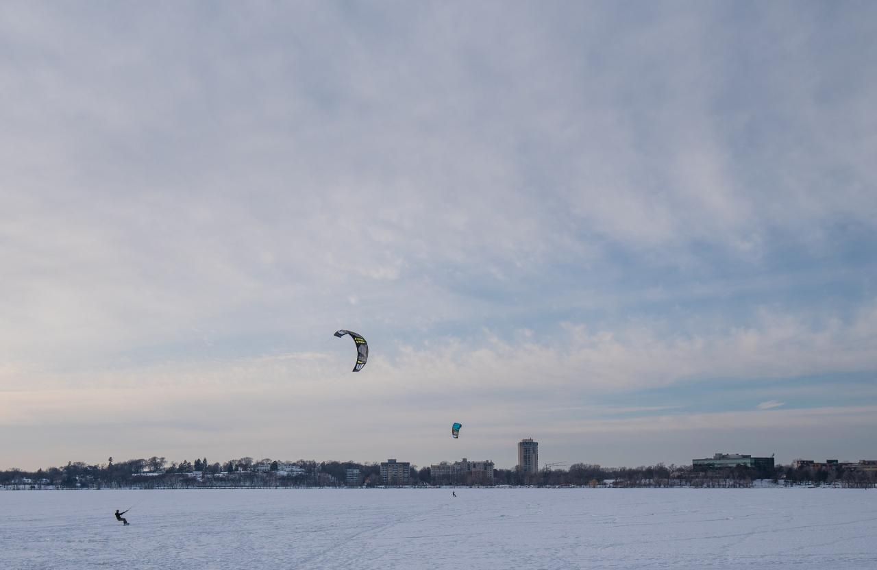
The Bde Maka Ska Pavilion on the northeast corner of the lake, a short walk north along the shore path, has a restaurant and seasonal Wheel Fun Rentals for canoes, kayaks, paddleboards and pedal boats. The lake is also popular for sailing and fishing, the 3.1 mile loop trail is busy year round, and in winter the frozen lake off this beach draws snow kiters.
More Information
Bde Maka Ska - Wikipedia
Bde Maka Ska (/bəˈdeɪ məˈkɑː skɑː/ bə-DAY mə-KAH skah;[3] formerly known as Lake Calhoun)[4][5][6] is the largest lake in Minneapolis, Minnesota, United States, and part of the city's Chain of Lakes. Surrounded by city park land and circled by bike and walking trails, it is popular for many outdoor activities. The lake has an area of 424 acres (1.72 km2) and a maximum depth of 90 feet (27 m).
https://en.wikipedia.org/wiki/Bde_Maka_SkaBde Maka Ska 32nd Street Beach - Minneapolis Park & Recreation Board
The current version of your browser may not support all features of this site, please upgrade or install Google Chrome for the best experience.
https://www.minneapolisparks.org/activities-events/water-activities/beaches/bde_maka_ska_32nd_street_beach/Bde Maka Ska Park - Minneapolis Park & Recreation Board
Bde Maka Ska Park has pedestrian and bike trails encircling the lake and offers swimming, athletic fields and more. Click to plan your visit.
https://www.minneapolisparks.org/parks-destinations/parks-lakes/bde_maka_ska_park/Bde Maka Ska | Minnesota DNR
Minnesota Department of Natural Resources provides information on fishes and fishing at Bde Maka Ska [Lake Calhoun]. Also includes directions to the lake, facilities and other related information.
https://www.dnr.state.mn.us/fishing/downtown/bde-maka-ska.htmlBde Maka Ska's 32nd Street Beach Closes Due To E. Coli Levels - CBS Minnesota
Bde Maka Ska's 32nd Street Beach closed Tuesday after officials found elevated E. coli bacteria levels during routine testing.
https://www.cbsnews.com/minnesota/news/bde-maka-skas-32nd-street-beach-closes-due-to-e-coli-levels/Beach Water Resources - Minneapolis Park & Recreation Board
The current version of your browser may not support all features of this site, please upgrade or install Google Chrome for the best experience.
https://www.minneapolisparks.org/park-care-improvements/water_resources/beach_water_resources/Beaches - Minneapolis Park & Recreation Board
The Minneapolis park system features 12 beaches at six lakes, perfect for swimming and enjoying nature. Click to plan your visit.
https://www.minneapolisparks.org/activities-events/water-activities/beaches/Top 10 Beaches in and Around the Twin Cities | Minnesota Monthly
Looking to cool off during the warm days ahead? Suit up and take a dip at one of these local spots.
https://www.minnesotamonthly.com/travel-recreation/top-10-beaches-in-and-around-the-twin-cities/
- Plan Ahead and Prepare
- Travel & camp on durable surfaces
- Dispose of waste properly
- Leave what you find
- Minimize campfire impacts
- Respect wildlife
- Be considerate of other visitors
Directions
From Minneapolis
- Head southeast on S 4th St (194 ft)
- Turn right onto 4th Ave S (0.5 mi)
- Slight left onto the MN-65 ramp to I-35W S (0.3 mi)
- Continue onto MN-65 (0.5 mi)
- Merge onto I-35W S (0.6 mi)
- Take exit 15A toward Lake St/
31st St (0.2 mi) - Merge onto Stevens Ave (0.2 mi)
- Turn right onto E 31st St (1.1 mi)
- Turn left onto Hennepin Ave (0.1 mi)
- Turn right onto W 32nd St (0.3 mi)
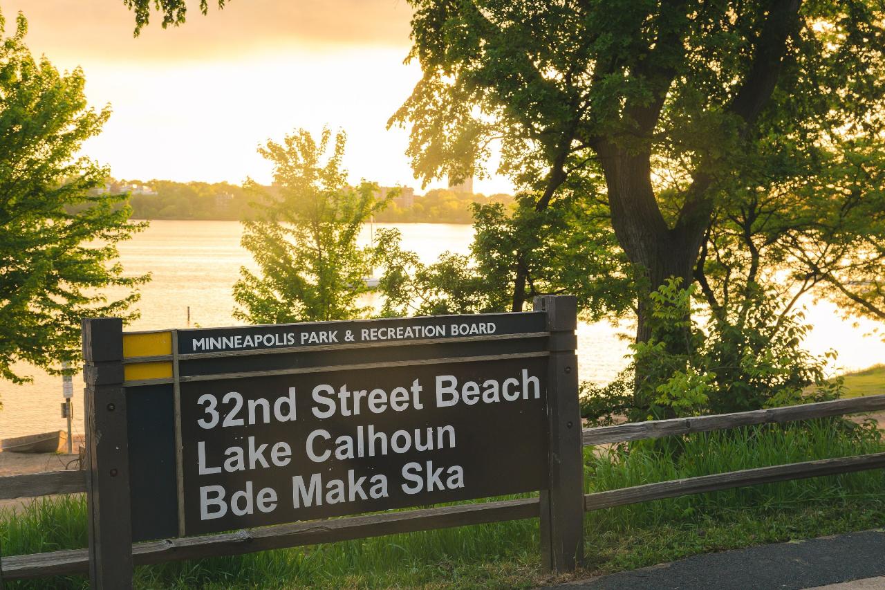
 Park board sign at 32nd Street Beach with Bde Maka Ska behind it at sunset. courtesy of Tony Webster from Minneapolis, Minnesota, United States↗ (CC BY-SA 2.0↗)
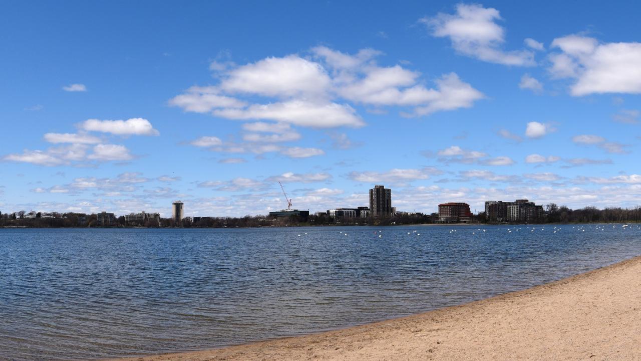
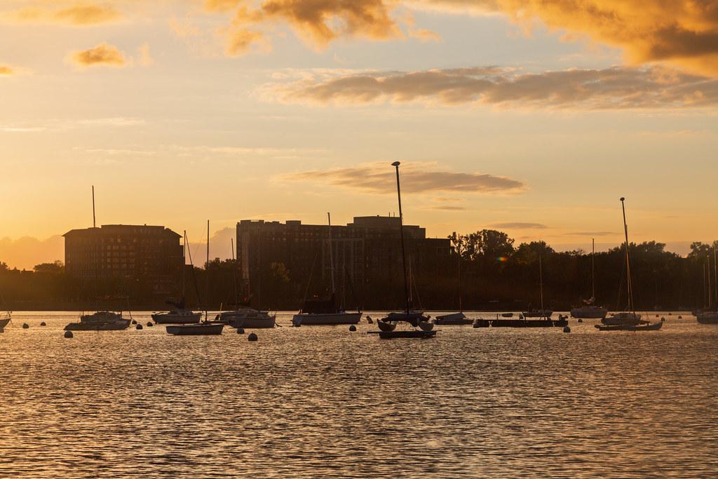
 The sand at 32nd Street Beach curving along Bde Maka Ska, with buoys offshore. courtesy of Fibonacci Blue from Minnesota, USA↗ (CC BY 2.0↗)
 Sunset over Bde Maka Ska from 32nd Street Beach. courtesy of Tony Webster↗ (CC BY 2.0↗)
 Bench and swings at the back of 32nd Street Beach, looking out over the lake. courtesy of Fibonacci Blue from Minnesota, USA↗ (CC BY 2.0↗)
 Snow kiters on the frozen lake off 32nd Street Beach in January. courtesy of Tony Webster from Minneapolis, Minnesota, United States↗ (CC BY-SA 2.0↗)
Other Swimming Holes, Canoeing Areas, and Kayaking Areas Nearby
Cedar Lake Ice Hole
Minneapolis
1.3 miles NWA permitted winter plunge hole cut in the ice on the west side of Cedar Lake, maintained by Endurance United volunteers. Free, waiver required, no lifeguard, and cold shock is the real danger.
Canoe, Hike, Kayak, Swim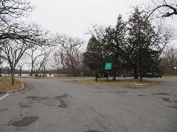
Cedar Lake Point Beach
Minneapolis
1.4 miles NWA free, lifeguarded summer sand beach on a wooded point on Cedar Lake's west shore in Minneapolis, run by the park board and popular with kayakers and open-water swimmers.
Canoe, Hike, Kayak, Swim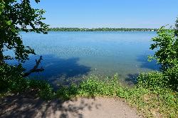
Lake Harriet Southeast Beach
Minneapolis
1.9 miles SFree sand beach on the southeast corner of Lake Harriet in Minneapolis, run by the Minneapolis Park and Recreation Board. No lifeguards; open 6 am to 10 pm, with weekly summer bacteria testing.
Canoe, Kayak, Swim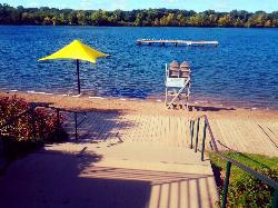
Shady Oak Beach
Minnetonka
6.6 miles WLifeguarded, spring-fed swimming beach on Shady Oak Lake in Minnetonka, owned by Hopkins and run by Minnetonka Recreation. Summer only; day passes are $7 ($5 after 6 p.m.).
Canoe, Kayak, Swim
Silver Lake Park
Columbia Heights
7.9 miles NEColumbia Heights' only city swimming beach, a small free strip of sand on the northwest shore of Silver Lake at 4305 Stinson Blvd NE, next to Silverwood Park. No lifeguard on duty.
Canoe, Hike, Kayak, Swim
Round Lake Park Beach
Eden Prairie
10.5 miles SWFree, unguarded city swimming beach on Round Lake in Eden Prairie's Round Lake Park, next to a free splash pad, fishing pier and loop trail. Open Memorial Day to Labor Day, with occasional closures for bacteria.
Hike, Swim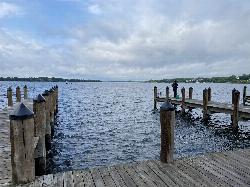
Wayzata Beach
Wayzata
10.6 miles WWayzata Beach is the City of Wayzata's free public sand beach on Wayzata Bay of Lake Minnetonka, with a swimming dock, playground and picnic areas, open mid-June to mid-August with no lifeguard on duty.
Kayak, Swim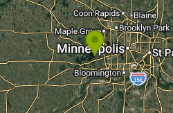
Deephaven Beach
Deephaven
10.9 miles WDeephaven's largest city beach, a sandy swim area with a swimming dock and summer lifeguards on St. Louis Bay of Lake Minnetonka. Swimming is free, but the beach lot requires a city parking sticker.
Swim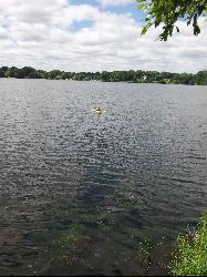
Lake Gervais County Park
Little Canada
12.2 miles NEFree, unguarded Ramsey County beach on the southwest shore of 234-acre Gervais Lake in Little Canada, with a buoyed swim area from late May through Labor Day, a fishing pier and a playground.
Canoe, Kayak, Swim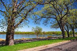
Phalen Regional Park Beach
Saint Paul
12.6 miles ESaint Paul's free, lifeguarded city beach on Lake Phalen, with a splash pad, changing rooms, kayak and paddleboard rentals and free parking on the East Side.
Canoe, Hike, Kayak, Swim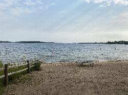
Excelsior Public Beach
Excelsior
13.2 miles WFree, unguarded city swimming beach in The Commons on Excelsior Bay of Lake Minnetonka, open daily 7 am to 8 pm from Memorial Day to Labor Day, with a buoyed swim area and paid street parking nearby.
Swim
Lake Ann Beach
Chanhassen
13.5 miles SWFree, unguarded city beach on the south shore of Lake Ann in Chanhassen's Lake Ann Park, on a quiet non-motorized lake with paddle rentals in summer.
Canoe, Hike, Kayak, Swim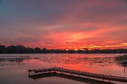
Golden Lake Park
Circle Pines
15.3 miles NEFree city park on Golden Lake in Circle Pines with a small sand swim beach, open sunrise to sunset with no entrance fee. Unguarded, electric-motor-only lake with a fishing pier and boat launch.
Canoe, Kayak, Swim
Carver Lake Beach
Woodbury
16.2 miles EFree, unguarded sand beach on Carver Lake in Woodbury's Carver Lake Park, open for swimming 9 a.m. to 8 p.m. from Memorial Day to Labor Day, with showers, restrooms and a boardwalk.
Hike, Swim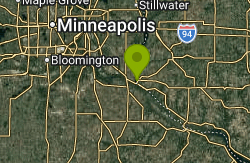
Prescott City Beach
Prescott
27.7 miles SESmall free city beach on the St. Croix River just north of downtown Prescott, Wisconsin, with a designated swim area, bathhouse and restrooms. No lifeguards; watch for boat wakes and quick drop-offs.
Swim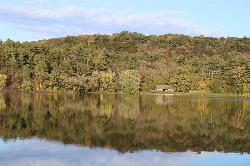
Lake O' the Dalles Beach
St. Croix Falls
44.4 miles NEThe swimming beach at Wisconsin's Interstate Park, on a calm lake below the St. Croix River bluffs in St. Croix Falls. Sand beach, no lifeguards, state park vehicle pass required.
Camp, Canoe, Hike, Kayak, Swim


