


Cedar Lake Point Beach
Minneapolis
Canoe, Hike, Kayak, and Swim
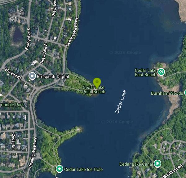
Cedar Lake Point Beach is a sand swimming beach on a wooded peninsula along the west shore of Cedar Lake in Minneapolis. The Minneapolis Park and Recreation Board runs it as part of Cedar Lake Park, which in turn belongs to the Minneapolis Chain of Lakes Regional Park. It is one of three official beaches on the lake (the others are South Beach and East Beach, which locals call Hidden Beach) and one of twelve in the city park system. Cedar Lake covers about 169 acres and reaches 51 feet at its deepest. From the point you look east across open water toward the Kenwood shoreline, with downtown towers showing over the trees.
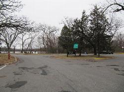
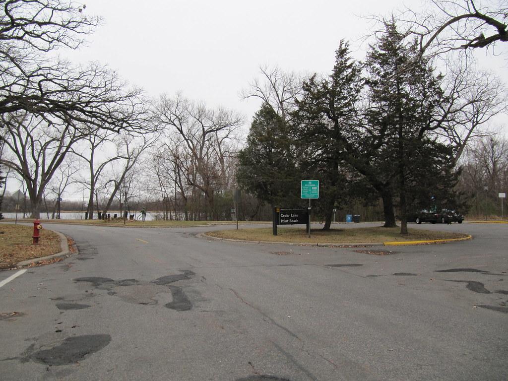
The park board lists the address as 2101 Cedar Lake Parkway. Drivers turn off the parkway onto a short access road that ends at a small park board pay lot, with rates posted at the pay station. Spaces go fast on hot weekends, and from the lot it is a short walk out to the sand. Biking is often easier. The Cedar Lake Regional Trail and the Kenilworth Trail pass close by, there are bike racks near the beach, and the Cedar Lake Parkway path links the point to Lake of the Isles and the rest of the Grand Rounds.
The beach is a modest strip of sand wrapped around the tip of the point, with a buoyed swim area in front of it and a sandy bottom near shore. Lifeguards are scheduled in summer. For 2026 the park board listed guards from 1 pm to 7 pm daily from June 13 through August 23, then 4 pm to 7 pm on weekdays and 1 pm to 7 pm on weekends and Labor Day through September 7. Outside those hours you swim unguarded. The beach is open 6 am to 10 pm daily, and city ordinance bars swimming in the lakes between 10 pm and 6 am. Swimming and beach use are free. The only cost is parking if you drive.
Check water quality before you go in. The park board samples its beaches through the season and closes them for high bacteria or blue-green algae. On August 6, 2026 it put all three Cedar Lake beaches, Point Beach included, under a blue-green algae warning after toxin levels at South Beach passed the closure threshold, and told people and pets to stay out of the water until further notice. Look up the current status on the park board's beach page before swimming, stay out for about 48 hours after heavy rain, and towel off right away to cut the risk of swimmer's itch. Beach rules keep dogs off the sand and out of the lake, ban glass, and say not to enter the water when the air is 65 degrees F or colder.
The point is also one of the busiest paddling spots on the lake. Kayakers and paddleboarders carry boats down to the shore, youth programs and paddling classes put in here, and open-water swimmers use it as a starting point for laps. Watercraft storage racks sit beside the beach, and there is a drinking fountain. A dirt path loops around the wooded peninsula, where Cedar Lake Park Association volunteers have been clearing invasive brush. The association also calls this the least improved of the three Cedar Lake beaches, with clay and thin turf around the gathering area, so expect a simple shoreline rather than a groomed one.
More Information
Be courteous, informed, and prepared. Read trailhead guidelines, stay on the trail, and don't feed the wildlife.
Read More
- Plan Ahead and Prepare
- Travel & camp on durable surfaces
- Dispose of waste properly
- Leave what you find
- Minimize campfire impacts
- Respect wildlife
- Be considerate of other visitors
Directions
From Minneapolis
- Head southeast on S 4th St (194 ft)
- Turn right onto 4th Ave S (0.2 mi)
- Turn right onto S 7th St (0.7 mi)
- Turn left onto Twins Way (0.2 mi)
- Continue onto Glenwood Ave (0.9 mi)
- Turn left onto Cedar Lake Rd N (1.1 mi)
- Continue onto N Wayzata Blvd (0.4 mi)
- Turn left onto Theodore Wirth Pkwy (0.1 mi)
- Continue onto Cedar Lake Pkwy (0.6 mi)
- Turn left (125 ft)


Other Swimming Holes, Hiking Trails, Canoeing Areas, and Kayaking Areas Nearby
Cedar Lake Ice Hole
Minneapolis
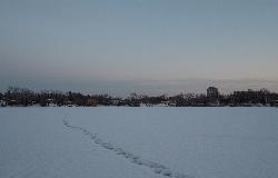
0.3 miles SWA permitted winter plunge hole cut in the ice on the west side of Cedar Lake, maintained by Endurance United volunteers. Free, waiver required, no lifeguard, and cold shock is the real danger.
Canoe, Hike, Kayak, Swim
Wayzata Beach
Wayzata
9.6 miles WWayzata Beach is the City of Wayzata's free public sand beach on Wayzata Bay of Lake Minnetonka, with a swimming dock, playground and picnic areas, open mid-June to mid-August with no lifeguard on duty.
Kayak, Swim
Excelsior Public Beach
Excelsior
12.6 miles WFree, unguarded city swimming beach in The Commons on Excelsior Bay of Lake Minnetonka, open daily 7 am to 8 pm from Memorial Day to Labor Day, with a buoyed swim area and paid street parking nearby.
Swim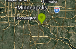
Prescott City Beach
Prescott
29.0 miles SESmall free city beach on the St. Croix River just north of downtown Prescott, Wisconsin, with a designated swim area, bathhouse and restrooms. No lifeguards; watch for boat wakes and quick drop-offs.
Swim
Lake O' the Dalles Beach
St. Croix Falls
44.3 miles NEThe swimming beach at Wisconsin's Interstate Park, on a calm lake below the St. Croix River bluffs in St. Croix Falls. Sand beach, no lifeguards, state park vehicle pass required.
Camp, Canoe, Hike, Kayak, Swim


