


Lake Gervais County Park
Little Canada
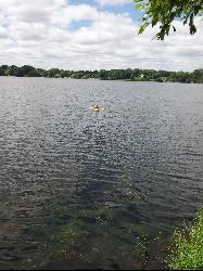
Canoe, Kayak, and Swim
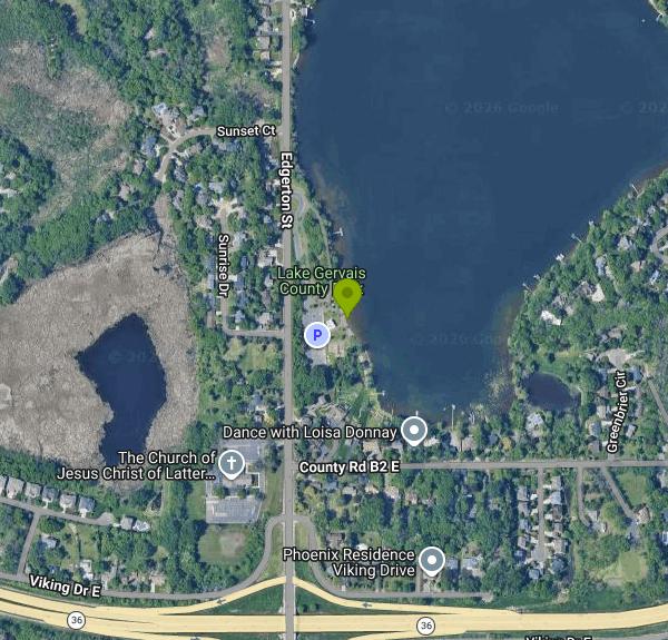
Lake Gervais County Park is a small Ramsey County Parks and Recreation park at 2420 Edgerton Street in Little Canada, a suburb just north of St. Paul. It sits on the southwest corner of Gervais Lake, a lake of roughly 234 acres that is the second link in the Phalen Chain of Lakes. The watershed district puts the average depth at about 22 feet and the maximum at 41 feet, so this is a real lake rather than a shallow pond, and it has a long record of good, stable water clarity.
The park is on the east side of Edgerton Street, a short distance north of Highway 36. A small surface parking lot sits right beside the beach, and the walk from car to sand is only a minute or two. Metro Transit route 71 stops on Edgerton next to the park, which makes this one of the easier county beaches to reach without a car. Edgerton has a striped bike lane past the entrance as well.
The swim area is a strip of sand on the lake's southwest shore, marked by buoys. Ramsey County sets the buoys out from May 27 through Labor Day, and swimming is only allowed inside them. The beach is unguarded. Ramsey County staffs lifeguards only at Long Lake Regional Park, so at Gervais you are responsible for your own group, and small children need an adult within arm's reach. Water temperature follows the usual Twin Cities pattern: cold in late May and June, warmest from mid-July into August. There is no current, but boat wakes from the main lake do roll in.
Entry is free. Ramsey County lists no admission or parking fee for the park or the beach. The park is open 5 a.m. to 11 p.m. from early May to mid-November and closes for winter. Beach hours are shorter: the county opens its beaches Memorial Day weekend and sets beach hours at 30 minutes before sunrise to 30 minutes past sunset.
Gervais is a busy lake. Motorboats and water skiers reach it through a channel from Spoon Lake, and the DNR warns that it is popular with recreational boaters. Stay inside the buoys. A swimmer has drowned here trying to swim across the lake, so do not swim out into open water from the beach. The lake also carries Eurasian watermilfoil, an invasive weed that can grow thick in shallow water. Ramsey County samples its beaches for bacteria during the season and posts the results on its beach water quality page, which is worth a look after heavy rain. The state lists the lake as impaired for mercury, which affects fish consumption advice rather than swimming.
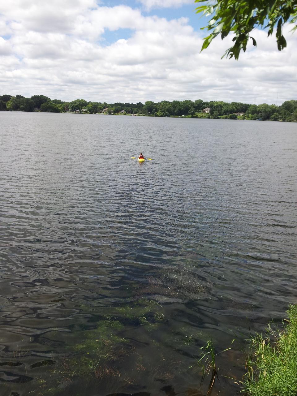
Beyond the beach, the park has changing facilities, flush toilets in summer, a playground, picnic tables and a fishing pier. There are no picnic shelters. Shore anglers fish from the pier and the public shoreline for walleye, northern pike, largemouth bass, bluegill, crappie, yellow perch and stocked tiger muskie. The county also lists non-motorized boating, so a canoe or kayak can be carried down to the water here.
More Information
Gervais Lake (MN) – Fishing, Map & Access | Lake-Link
Gervais Lake is a 235 acre lake located in beautiful Ramsey County, Minnesota. The lake has a maximum depth of 41 feet.
https://www.lake-link.com/minnesota-lakes/ramsey-county/gervais-lake/9038/Gervais Lake - Ramsey-Washington Metro Watershed District
Preserving and improving water resources and related ecosystems in eastern Ramsey County and western Washington County, Minnesota.
https://rwmwd.org/waters/waters-map/gervais-lake/Gervais Lake | Minnesota DNR
Information on Lake Gervais, Ramsey County, Mn.
https://www.dnr.state.mn.us/areas/fisheries/eastmetro/lakes/gervais.htmlLake Gervais County Park - Family Fun Twin Cities
Website Lake Gervais County Park
https://www.familyfuntwincities.com/locations/lake-gervais-county-park-little-canada/Lake Gervais County Park | Ramsey County, Minnesota
Lake Gervais County Park in Little Canada offers a range of amenities including a fishing pier, picnic area, playground, and swimming beach.
https://www.ramseycountymn.gov/residents/parks-recreation/parks-trails/find-park/lake-gervais-county-parkSheriff: Missing Man's Body Recovered From Gervais Lake - CBS Minnesota
The search resumed Sunday for a missing swimmer in a Twin Cities lake. Authorities say two men tried swimming across Gervais Lake Saturday afternoon. One of them reached the shore, the other never made it. By Sunday afternoon, The Ramsey County Sheriff
https://www.cbsnews.com/minnesota/news/search-for-missing-swimmer-resumes-sunday-at-gervais-lake/Swimming Beaches | Ramsey County, Minnesota
Explore Ramsey County’s swimming beaches. Enjoy designated swim areas, lifeguard services at Long Lake, and adhere to rules for safety.
https://www.ramseycountymn.gov/residents/parks-recreation/swimming-beaches
- Plan Ahead and Prepare
- Travel & camp on durable surfaces
- Dispose of waste properly
- Leave what you find
- Minimize campfire impacts
- Respect wildlife
- Be considerate of other visitors
Directions
From Little Canada
- Head north toward Gould St (44 m)
- Turn left onto Gould St (54 m)
- Turn left onto Yonge StTurn may not be allowed at certain times or days(43 m)
- Turn right onto Edward StTurn may not be allowed at certain times or days(0.6 km)
- Turn left onto University Ave (0.7 km)
- Turn right onto Richmond St W (0.8 km)
- Turn left onto Spadina Ave. (1.0 km)
- Turn right onto the Gardiner Expwy. West/
Lake Shore Blvd. West ramp (59 m) - Slight left onto the Gardiner Expwy. W ramp (0.4 km)
- Merge onto Frederick G. Gardiner Expy/
Gardiner Expy W (13.7 km) - Continue onto Queen Elizabeth Wy (16.6 km)
- Merge onto Queen Elizabeth Wy/
ON-403 W (21.1 km) - Slight right onto ON-403 W (83.1 km)
- Merge onto ON-401 W (49.9 km)
- Keep right to continue on ON-402 W, follow signs for SarniaToll road(102 km)
- Continue onto Blue Water Brg WToll roadEntering the United States of America (Michigan)(1.0 km)
- Continue onto I-69/
Blue Water Brg W Toll road(1.3 km) - Keep left to continue on I-69/
I-94 W, follow signs for Detroit/ Flint/ Lansing Toll road(4.2 km) - Take exit 271 for I-69 toward Flint/
Lansing (1.4 km) - Continue onto I-69 W (190 km)
- Take exit 81 to merge onto I-96 W toward Grand Rapids (86.4 km)
- Keep right to continue on I-96 W/
M-37 N, follow signs for Interstate 96/ Muskegon Continue to follow I-96 W(59.7 km) - Continue onto Seaway DrPass by AutoZone Auto Parts (on the left in 6.5 km)(8.3 km)
- Make a U-turn (0.2 km)
- Turn right onto W Laketon Ave (1.7 km)
- Continue onto Lakeshore Dr (0.6 km)
- Turn right onto Estes St (0.5 km)
- Take the Milwaukee - Muskegon ferry to MilwaukeeToll roadMay be closed at certain times or daysEntering Wisconsin(133 km)
- Continue straight onto Exit Rte (0.1 km)
- Continue onto Ferry Loading (0.2 km)
- Continue onto Lake Express Ferry (0.1 km)
- Turn left onto S Lincoln Memorial Dr (36 m)
- Turn right onto S Carferry Dr (0.1 km)
- Merge onto I-794 W via the ramp to I-94 E/
Downtown (4.9 km) - Slight left onto I-794 (signs for I-94 W/
Madison) (1.2 km) - Continue onto I-94 WParts of this road may be closed at certain times or days(8.2 km)
- Keep left to stay on I-94 W (253 km)
- Keep right to stay on I-94 WEntering Minnesota(262 km)
- Take exit 242 B to merge onto I-35E N/
US-10 W (6.2 km) - Take exit 111A to merge onto MN-36 E toward Stillwater (0.8 km)
- Take the Edgerton Street exit (0.4 km)
- Sharp left onto Edgerton St (0.7 km)
- Turn right (0.2 km)
- Turn left (22 m)
- Turn left (9 m)
Other Swimming Holes, Canoeing Areas, and Kayaking Areas Nearby
Phalen Regional Park Beach
Saint Paul
2.4 miles SESaint Paul's free, lifeguarded city beach on Lake Phalen, with a splash pad, changing rooms, kayak and paddleboard rentals and free parking on the East Side.
Canoe, Hike, Kayak, Swim
Silver Lake Park
Columbia Heights
7.8 miles WColumbia Heights' only city swimming beach, a small free strip of sand on the northwest shore of Silver Lake at 4305 Stinson Blvd NE, next to Silverwood Park. No lifeguard on duty.
Canoe, Hike, Kayak, Swim
Carver Lake Beach
Woodbury
8.9 miles SEFree, unguarded sand beach on Carver Lake in Woodbury's Carver Lake Park, open for swimming 9 a.m. to 8 p.m. from Memorial Day to Labor Day, with showers, restrooms and a boardwalk.
Hike, Swim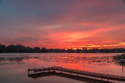
Golden Lake Park
Circle Pines
9.4 miles NWFree city park on Golden Lake in Circle Pines with a small sand swim beach, open sunrise to sunset with no entrance fee. Unguarded, electric-motor-only lake with a fishing pier and boat launch.
Canoe, Kayak, Swim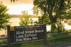
Bde Maka Ska 32nd Street Beach
Minneapolis
12.2 miles SWA free, unguarded sand beach on the east shore of Bde Maka Ska in Minneapolis, run by the Minneapolis Park and Recreation Board and open 6 am to 10 pm daily.
Canoe, Kayak, Swim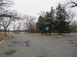
Cedar Lake Point Beach
Minneapolis
12.6 miles WA free, lifeguarded summer sand beach on a wooded point on Cedar Lake's west shore in Minneapolis, run by the park board and popular with kayakers and open-water swimmers.
Canoe, Hike, Kayak, Swim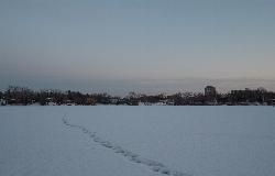
Cedar Lake Ice Hole
Minneapolis
12.8 miles WA permitted winter plunge hole cut in the ice on the west side of Cedar Lake, maintained by Endurance United volunteers. Free, waiver required, no lifeguard, and cold shock is the real danger.
Canoe, Hike, Kayak, Swim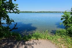
Lake Harriet Southeast Beach
Minneapolis
12.9 miles SWFree sand beach on the southeast corner of Lake Harriet in Minneapolis, run by the Minneapolis Park and Recreation Board. No lifeguards; open 6 am to 10 pm, with weekly summer bacteria testing.
Canoe, Kayak, Swim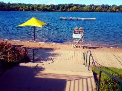
Shady Oak Beach
Minnetonka
18.8 miles WLifeguarded, spring-fed swimming beach on Shady Oak Lake in Minnetonka, owned by Hopkins and run by Minnetonka Recreation. Summer only; day passes are $7 ($5 after 6 p.m.).
Canoe, Kayak, Swim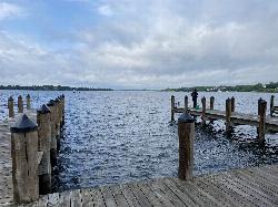
Wayzata Beach
Wayzata
21.9 miles WWayzata Beach is the City of Wayzata's free public sand beach on Wayzata Bay of Lake Minnetonka, with a swimming dock, playground and picnic areas, open mid-June to mid-August with no lifeguard on duty.
Kayak, Swim
Prescott City Beach
Prescott
22.1 miles SESmall free city beach on the St. Croix River just north of downtown Prescott, Wisconsin, with a designated swim area, bathhouse and restrooms. No lifeguards; watch for boat wakes and quick drop-offs.
Swim
Round Lake Park Beach
Eden Prairie
22.7 miles SWFree, unguarded city swimming beach on Round Lake in Eden Prairie's Round Lake Park, next to a free splash pad, fishing pier and loop trail. Open Memorial Day to Labor Day, with occasional closures for bacteria.
Hike, Swim
Deephaven Beach
Deephaven
22.8 miles WDeephaven's largest city beach, a sandy swim area with a swimming dock and summer lifeguards on St. Louis Bay of Lake Minnetonka. Swimming is free, but the beach lot requires a city parking sticker.
Swim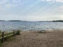
Excelsior Public Beach
Excelsior
25.3 miles WFree, unguarded city swimming beach in The Commons on Excelsior Bay of Lake Minnetonka, open daily 7 am to 8 pm from Memorial Day to Labor Day, with a buoyed swim area and paid street parking nearby.
Swim
Lake Ann Beach
Chanhassen
25.7 miles SWFree, unguarded city beach on the south shore of Lake Ann in Chanhassen's Lake Ann Park, on a quiet non-motorized lake with paddle rentals in summer.
Canoe, Hike, Kayak, Swim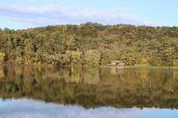
Lake O' the Dalles Beach
St. Croix Falls
33.4 miles NEThe swimming beach at Wisconsin's Interstate Park, on a calm lake below the St. Croix River bluffs in St. Croix Falls. Sand beach, no lifeguards, state park vehicle pass required.
Camp, Canoe, Hike, Kayak, Swim
South Twin Park Beach
Amery
40.0 miles NEAmery's free city swimming beach on the east shore of South Twin Lake, a few blocks from downtown. No lifeguards, and check for bacteria advisories before swimming.
Swim
Eau Galle Lake Main Day Use Area
Spring Valley
42.0 miles ESandy, unguarded swim beach on the Army Corps' Eau Galle reservoir at the north edge of Spring Valley, Wisconsin. A Corps day-use pass is required per vehicle from April 15 to October 31.
Canoe, Hike, Kayak, Swim


