


Lake O' the Dalles Beach
St. Croix Falls
Camp, Canoe, Hike, Kayak, and Swim
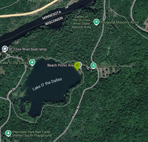
Lake O' the Dalles Beach is the swimming beach at Interstate Park, the Wisconsin state park on the St. Croix River just south of downtown St. Croix Falls. The Wisconsin Department of Natural Resources manages the park, which opened in 1900 and is the oldest in the state system. The beach sits on the east shore of Lake O' the Dalles, a small lake tucked into a wooded basin below the basalt bluffs of the Dalles of the St. Croix, the gorge that gives the lake its name. A Minnesota park of the same name sits across the river in Taylors Falls, but the lake and its beach are on the Wisconsin side.
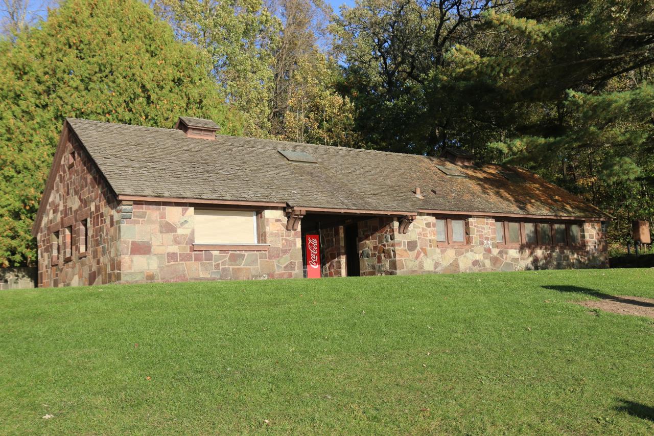
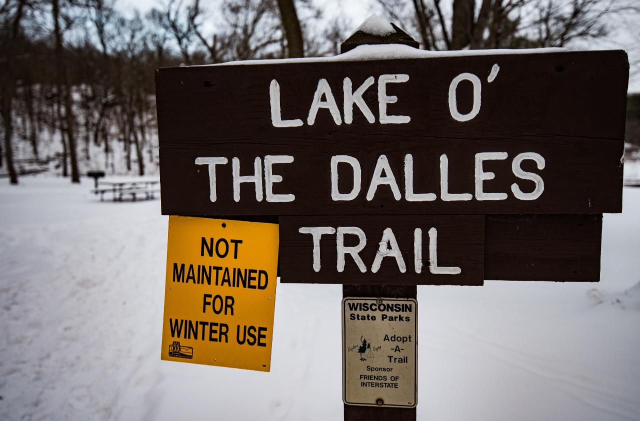
The park entrance is on State Highway 35 at the south edge of St. Croix Falls, close to where U.S. Highway 8 crosses the river into Minnesota. Follow the park road to the beach area, where there is a parking lot a short walk from the sand, along with a picnic shelter, a playground and flush toilets. The stone beach house above the shoreline was built by the Civilian Conservation Corps in the 1930s and is still in use. A hiking route, the Lake O' the Dalles Trail, loops around the water from the beach.
The beach itself is a strip of sand at the foot of a grassy lawn. A restoration project around 2019 took out an old retaining wall, roughly doubled the size of the sand area and eased the slope above it. The bottom is sand near shore, but the DNR warns that depth can change abruptly, so wade in carefully, especially with kids. No lifeguards are on duty at any time. The lake is calm water with no current, and only nonmotorized boats are allowed, so swimmers share it with canoes, kayaks and people fishing from shore. There is also an accessible shore fishing station on the lake.
Swimming is not free. Every vehicle in a Wisconsin state park needs an admission pass. Since Aug. 19, 2025, a daily pass costs $13 for a car with Wisconsin plates, $3 for Wisconsin residents 65 and older, and $16 for out-of-state plates. Annual passes run $28 for Wisconsin plates and $50 for out-of-state vehicles. Visitors who use the park without buying a pass first owe an extra $5 and can be cited. The park is open from 6 a.m. to 11 p.m. every day of the year, but the beach area flush toilets and drinking fountains are shut off at the end of September each year.
Stay in the lake. The DNR prohibits swimming in the St. Croix River upstream of the park boat launch, and cliff jumping is banned along the whole river, where fast current runs through the gorge. As of October 2026, the park says several construction projects running through fall 2026 will affect availability of the beach and other facilities, so check the park conditions page before you go.
There is plenty to fill the rest of the day. The park has two campgrounds, the Ice Age Interpretive Center, and trails along the river bluffs to the glacial potholes and overlooks of the Dalles. The Pothole Trail, which drops down among the rock formations at the river's edge, starts a short drive north of the beach.
More Information
Conditions | Interstate Park | Wisconsin DNR
Several construction projects will be taking place at Interstate Park through fall 2026 that will affect availability of the beach, River Bottoms Picnic Area, Meadow Valley shelter and other park facilities.
https://dnr.wisconsin.gov/topic/parks/interstate/conditionsFishing | Interstate Park | Wisconsin DNR
The St. Croix is a top-notch fishing river for almost every kind of game fish including walleyes, northern pike, muskies and small-mouth bass.
https://dnr.wisconsin.gov/topic/parks/interstate/recreation/fishingMaps | Interstate Park | Wisconsin DNR
Note: Georeferenced maps (GeoPDFs) are tied to an earth coordinate system and allow you to locate yourself on the map while offline. The GeoPDF format can be used with various GPS-enabled mobile apps on devices such as smartphones and tablets, and can be used to navigate while at the property. Your phone or tablet does not have a GeoPDF viewer by default, but compatible viewers are available for iOS and Android devices in your App store. When using a GeoPDF, remember that some areas may not have cell service, so be sure your app works without a cell signal.
https://dnr.wisconsin.gov/topic/parks/interstate/mapsWater Recreation | Interstate Park | Wisconsin DNR
There is a swimming beach with a beach house at Lake O' the Dalles. Lifeguards are not provided. Use caution when wading in unknown waters as water depth may change abruptly. Cliff jumping is prohibited on the entire St. Croix River and swimming is not allowed up river from the boat launch.
https://dnr.wisconsin.gov/topic/parks/interstate/recreation/waterWisconsin’s Interstate Park offers water and wonder despite funding woes – St. Croix 360
Park on the basalt bluffs of the St. Croix Dalles has been a destination for generations, but visitors are experiencing the effects of budget cuts.
https://www.stcroix360.com/2019/06/wisconsins-interstate-park-offers-water-and-wonder-despite-funding-woes/Be courteous, informed, and prepared. Read trailhead guidelines, stay on the trail, and don't feed the wildlife.
Read More
- Plan Ahead and Prepare
- Travel & camp on durable surfaces
- Dispose of waste properly
- Leave what you find
- Minimize campfire impacts
- Respect wildlife
- Be considerate of other visitors
Directions
From St. Croix Falls
- Head south on S Madison StRestricted usage road(161 ft)
- Turn left to stay on S Madison StRestricted usage road(312 ft)
- Turn right onto S Madison St/
Soo Line Rd Restricted usage road(489 ft) - Turn left onto S Vincent St (0.9 mi)
- Turn right onto Park Rd (1.3 mi)
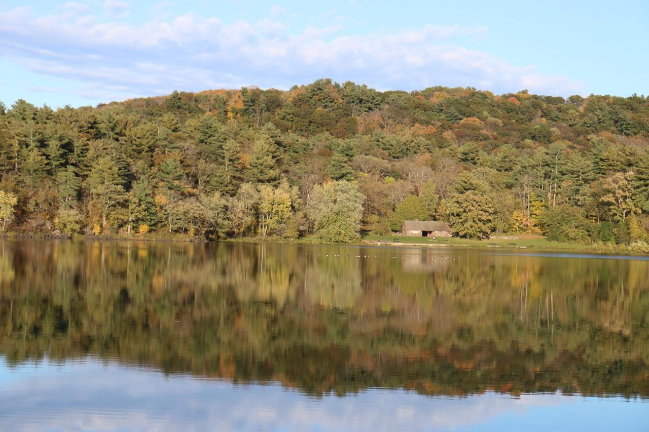
 Lake O' the Dalles in autumn, with the beach lawn and stone beach house on the far shore. courtesy of Royalbroil↗ (CC BY-SA 4.0↗)
 The stone beach house above the swimming beach, built by the Civilian Conservation Corps.
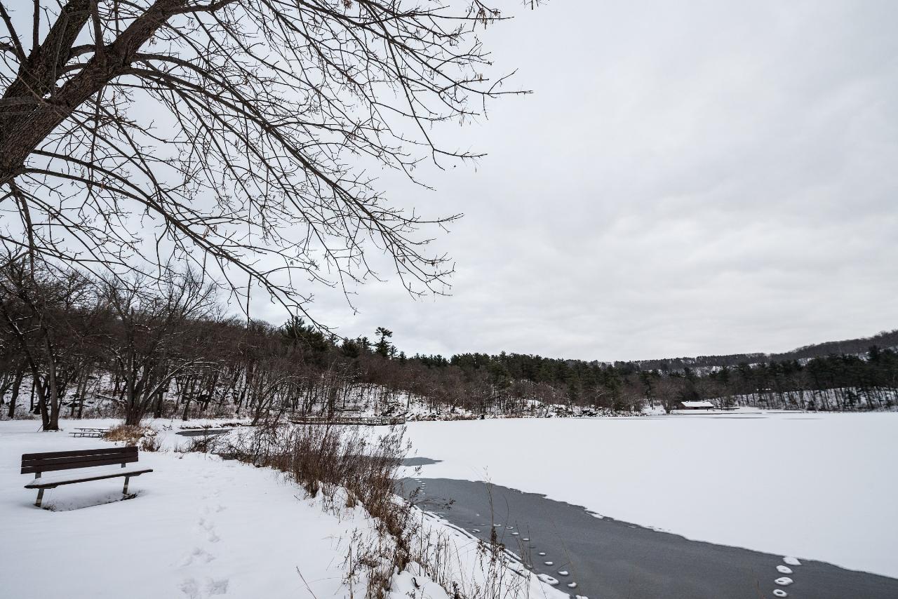
 Lake O' the Dalles frozen over in winter, seen from the shoreline trail. courtesy of Tony Webster from Minneapolis, Minnesota, United States↗ (CC BY-SA 2.0↗)
 Sign for the Lake O' the Dalles Trail, which circles the lake from the beach area. courtesy of Tony Webster from Minneapolis, Minnesota, United States↗ (CC BY-SA 2.0↗)

Other Swimming Holes, Hiking Trails, Canoeing Areas, and Kayaking Areas Nearby
Beach Park
Lindstrom
9.9 miles WFree City of Lindstrom park on a point in South Lindstrom Lake with a sandy swim beach, shallow wading shelf, playground and fishing pier. No lifeguard is on duty.
Swim
South Twin Park Beach
Amery
15.1 miles SEAmery's free city swimming beach on the east shore of South Twin Lake, a few blocks from downtown. No lifeguards, and check for bacteria advisories before swimming.
Swim
Island Lake Beach
Linwood Township
21.5 miles WA small natural sand beach on bog-stained Island Lake in Anoka County's Martin-Island-Linwood Lakes Regional Park, open early June through Labor Day with a $7 daily vehicle permit.
Hike, Swim
Fish Lake Regional Park
Harris
21.9 miles NWChisago County's busiest swimming beach, a sand beach on clear Fish Lake west of Harris. No lifeguards; $3 vehicle permit on summer weekends and holidays, free Monday through Thursday.
Canoe, Hike, Kayak, Swim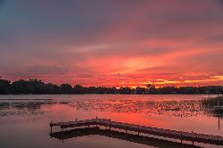
Golden Lake Park
Circle Pines
30.2 miles SWFree city park on Golden Lake in Circle Pines with a small sand swim beach, open sunrise to sunset with no entrance fee. Unguarded, electric-motor-only lake with a fishing pier and boat launch.
Canoe, Kayak, Swim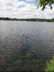
Lake Gervais County Park
Little Canada
33.5 miles SWFree, unguarded Ramsey County beach on the southwest shore of 234-acre Gervais Lake in Little Canada, with a buoyed swim area from late May through Labor Day, a fishing pier and a playground.
Canoe, Kayak, Swim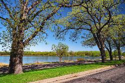
Phalen Regional Park Beach
Saint Paul
34.5 miles SWSaint Paul's free, lifeguarded city beach on Lake Phalen, with a splash pad, changing rooms, kayak and paddleboard rentals and free parking on the East Side.
Canoe, Hike, Kayak, Swim
Silver Lake Park
Columbia Heights
37.0 miles SWColumbia Heights' only city swimming beach, a small free strip of sand on the northwest shore of Silver Lake at 4305 Stinson Blvd NE, next to Silverwood Park. No lifeguard on duty.
Canoe, Hike, Kayak, Swim
Carver Lake Beach
Woodbury
37.4 miles SWFree, unguarded sand beach on Carver Lake in Woodbury's Carver Lake Park, open for swimming 9 a.m. to 8 p.m. from Memorial Day to Labor Day, with showers, restrooms and a boardwalk.
Hike, Swim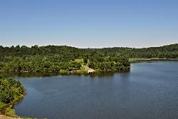
Eau Galle Lake Main Day Use Area
Spring Valley
41.9 miles SESandy, unguarded swim beach on the Army Corps' Eau Galle reservoir at the north edge of Spring Valley, Wisconsin. A Corps day-use pass is required per vehicle from April 15 to October 31.
Canoe, Hike, Kayak, Swim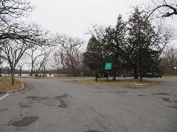
Cedar Lake Point Beach
Minneapolis
44.4 miles SWA free, lifeguarded summer sand beach on a wooded point on Cedar Lake's west shore in Minneapolis, run by the park board and popular with kayakers and open-water swimmers.
Canoe, Hike, Kayak, Swim
Prescott City Beach
Prescott
44.5 miles SSmall free city beach on the St. Croix River just north of downtown Prescott, Wisconsin, with a designated swim area, bathhouse and restrooms. No lifeguards; watch for boat wakes and quick drop-offs.
Swim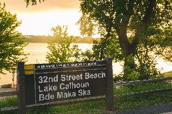
Bde Maka Ska 32nd Street Beach
Minneapolis
44.6 miles SWA free, unguarded sand beach on the east shore of Bde Maka Ska in Minneapolis, run by the Minneapolis Park and Recreation Board and open 6 am to 10 pm daily.
Canoe, Kayak, Swim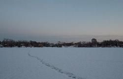
Cedar Lake Ice Hole
Minneapolis
44.7 miles SWA permitted winter plunge hole cut in the ice on the west side of Cedar Lake, maintained by Endurance United volunteers. Free, waiver required, no lifeguard, and cold shock is the real danger.
Canoe, Hike, Kayak, Swim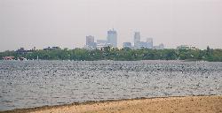
Thomas Beach
Minneapolis
45.4 miles SWFree sand beach on the south shore of Bde Maka Ska in Minneapolis, and the lake's only lifeguarded beach, with a downtown skyline view, volleyball courts and the Chain of Lakes trail behind it.
Canoe, Hike, Kayak, Swim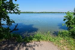
Lake Harriet Southeast Beach
Minneapolis
45.8 miles SWFree sand beach on the southeast corner of Lake Harriet in Minneapolis, run by the Minneapolis Park and Recreation Board. No lifeguards; open 6 am to 10 pm, with weekly summer bacteria testing.
Canoe, Kayak, Swim


