


32 Campsites near Nankoweap Trail
first prev 1 2 next lastShowing Campsites within 50 miles Distance miles of Nankoweap Trail near North Rim, Arizona City, Zip, or Address
Uncle Jim Trail
North Rim, Arizona
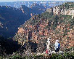
6.0 miles SWThe Uncle Jim Trail is an easy 4.7-mile North Rim loop to Uncle Jim Point, with jaw-dropping views over Roaring Springs and Bright Angel canyons.
Backpack, Camp, Hike 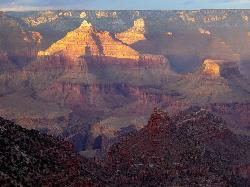
Rim-to-Rim: North Kaibab to Grand Canyon Village
North Rim, Arizona
6.1 miles SWA four-day rim-to-rim Grand Canyon hike with stops at Ribbon Falls, Phantom Ranch, Cottonwood Camp, and a sunset at Plateau Point that must be seen to be believed.
Backpack, Camp, Hike 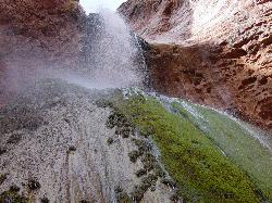
Phantom Ranch to Ribbon Falls on North Kaibab Trail
North Rim, Arizona
6.1 miles SWA classic Grand Canyon corridor hike on the North Kaibab Trail from Phantom Ranch to Ribbon Falls.
Camp, Hike 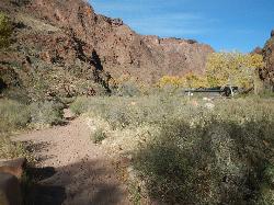
North Kaibab Trail to Colorado River
North Rim, Arizona
6.1 miles SWA steep, well-maintained, and well-marked trail dropping from the North Rim to the Colorado River — perfect for experienced hikers ready for serious elevation change.
Backpack, Camp, Hike 6.3 mi
Tiyo Point Trail
North Rim, Arizona
6.1 miles SWA lightly traveled primitive North Rim trail through encroaching forest with old markers on trees, wildflowers, gentle rolling terrain, and a single picnic area near the end.
Backpack, Camp, Hike 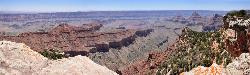
Cape Final
North Rim, Arizona
9.6 miles SA gentle climb through open ponderosa pine forest on the North Rim leads to a dramatic 180-degree canyon panorama at Cape Final — with a designated backcountry campsite right at the rim's edge.
Camp, Hike 

South Canyon
North Rim, Arizona
13.7 miles NA mostly trail-less 3-to-4-day backpacking route through narrow Marble Canyon near the North Rim, suited for experienced canyoneers — roads to the trailhead can be briefly impassable in winter.
Backpack, Camp, Hike 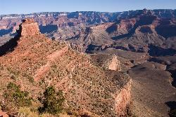
The Grand Canyon: Kaibab to Bright Angel Trail
Grand Canyon Village, Arizona
16.6 miles SAn unforgettable 2-3 day hike combining the South Kaibab's unbeatable views with the shaded, water-rich Bright Angel Trail — staring up at the canyon from the river below.
Backpack, Camp, Hike 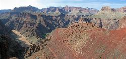
South Kaibab to Phantom Ranch to Bright Angel Trail
Grand Canyon Village, Arizona
16.7 miles SA difficult but spectacular multi-day Grand Canyon hike combining South Kaibab's stunning rim views with Phantom Ranch's riverside oasis and Bright Angel's shaded water stations.
Backpack, Camp, Hike 13.6 mi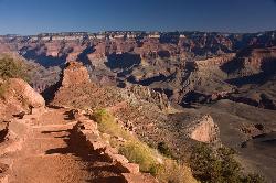
South Kaibab Trails
Grand Canyon Village, Arizona
16.7 miles SSeven miles of ridgeline descent from Yaki Point to the canyon floor — no shade, no water on trail, and the best unobstructed Grand Canyon panoramas you'll find on any hike.
Camp, Hike, Horseback 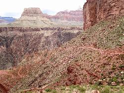
South Kaibab to North Kaibab to Bright Angel Trail
Grand Canyon Village, Arizona
16.7 miles SThe Grand Canyon's legendary Rim-to-Rim-to-Rim route — 44 miles and 20,000 feet of elevation change combining South Kaibab, North Kaibab, and Bright Angel trails for an epic multi-day adventure.
Backpack, Camp, Hike 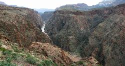
Clear Creek Trail
Grand Canyon Village, Arizona
16.7 miles SA 4–6 day Grand Canyon backpack deep into a fascinating, off-the-beaten-track drainage — bring plenty of water, as Clear Creek is the only reliable source on trail.
Backpack, Camp, Hike 0.6 mi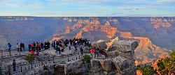
Mather Campground Trail
Grand Canyon Village, Arizona
17.7 miles SWA 1-mile connector trail adjacent to Mather Campground on the Grand Canyon South Rim — flat and easy for biking, running, or walking with pets on leash; campground has RV options nearby.
Camp, Hike, Mountain Bike 1.5-9.8 mi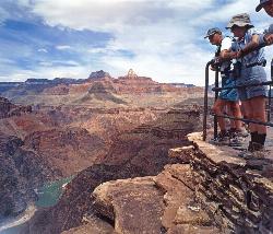
The Bright Angel Trails
Grand Canyon Village, Arizona
17.9 miles SWMultiple Bright Angel Trail routes range from a 5.4-mile out-and-back to the Three-Mile Resthouse to a 19-mile trek to the river, with the 12.4-mile South Kaibab–Tonto–Bright Angel point-to-point offering over 3,000 feet of Grand Canyon grandeur.
Backpack, Camp, Hike, Horseback 4.5 mi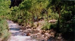
Bright Angel Trail to Bright Angel Campground and River Trail
Grand Canyon Village, Arizona
17.9 miles SWThe Bright Angel Trail is the Grand Canyon's most storied hike — South Rim to the Colorado River past tunnels, pictographs, Havasupai Gardens, and the Devil's Corkscrew.
Backpack, Camp, Hike, Rock Climb 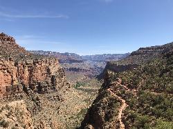
Bright Angel Trail to Three-Mile Rest house
Grand Canyon Village, Arizona
17.9 miles SWA steep 5.4-mile out-and-back trail descending into the Grand Canyon with 360-degree canyon views and extreme switchbacks — water and pit toilets at the Three-Mile Resthouse turnaround point.
Backpack, Camp, Hike 4.9 mi
Bright Angel Trail to Tonto Trail
Grand Canyon Village, Arizona
17.9 miles SWA rugged 12.4-mile point-to-point through Grand Canyon's inner gorge on the South Kaibab–Tonto Trail corridor, with over 3,000 feet of elevation gain — advanced hikers only.
Backpack, Camp, Hike 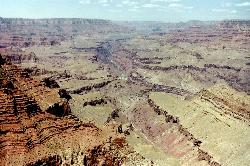
Tanner Trail
Grand Canyon Village, Arizona
18.4 miles SA rigorous rim-to-river backpacking route recommended only for seasoned hikers — relentlessly steep, rocky, shadeless, and waterless until the Colorado River, with access to one of the canyon's most scenic beach campsites.
Backpack, Camp, Hike 9.1 mi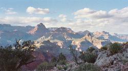
New Hance Trail
Grand Canyon Village, Arizona
19.2 miles SA 9-mile out-and-back through Red Canyon to the Colorado River — one of the most difficult Grand Canyon trails with a 4,500-ft elevation change and very limited water sources.
Backpack, Camp, Hike 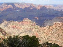
Grandview Trail Loop
Grand Canyon Village, Arizona
19.4 miles SA scenic Grand Canyon hiking trail — mountain bikes are illegal on Canyon trails, so lace up your boots and enjoy the views on foot.
Backpack, Camp, Cross-country Ski, Hike


