


Surry Mountain Lake Beach
Surry
Canoe, Hike, Kayak, and Swim
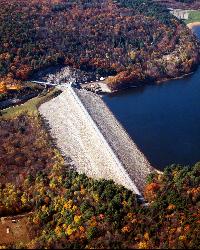
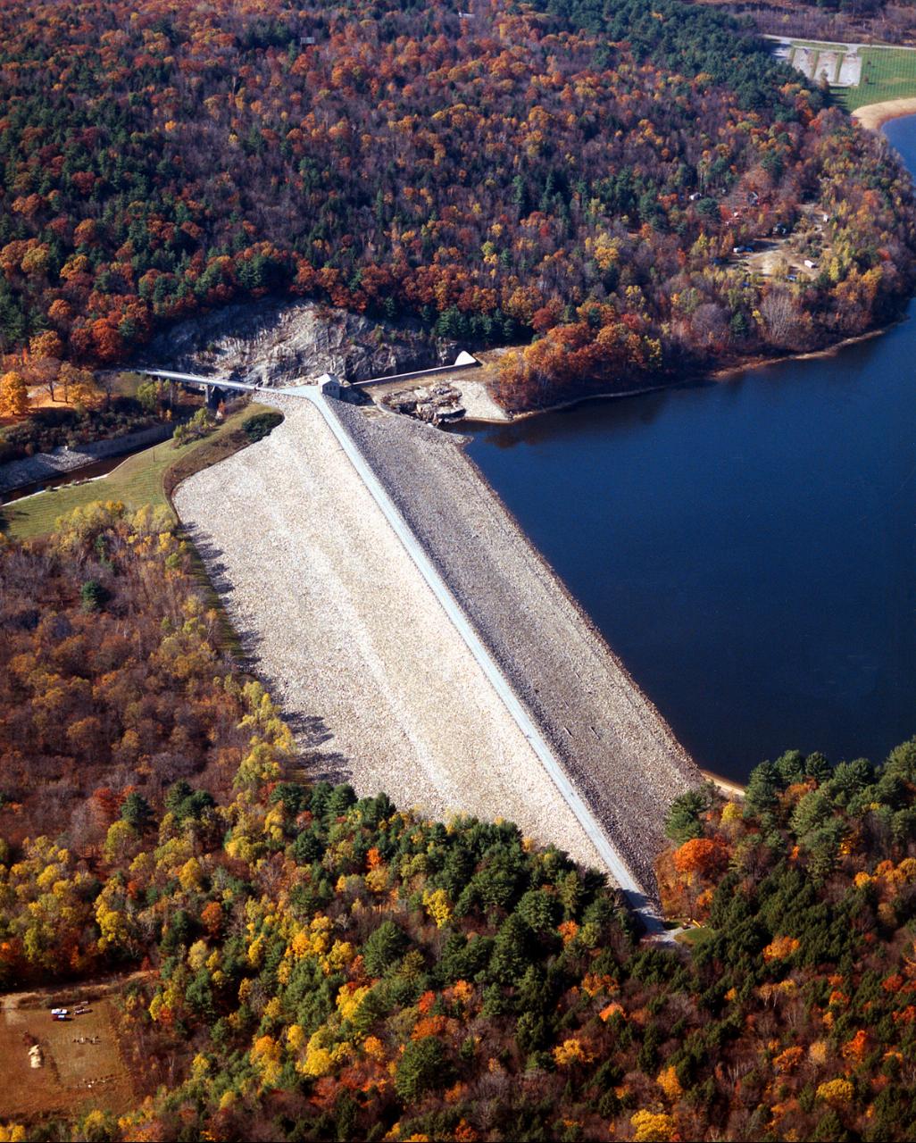
Surry Mountain Lake Beach is the day-use swimming area at Surry Mountain Lake, a flood-control reservoir on the Ashuelot River owned and run by the U.S. Army Corps of Engineers. The Corps built the earthen dam in 1941 to protect Keene and other towns downstream, and the normal pool it holds back covers about 353 acres in the town of Surry, Cheshire County. The beach sits on the west shore of the main pool, with grassy picnic ground behind the sand and Surry Mountain rising across the water.
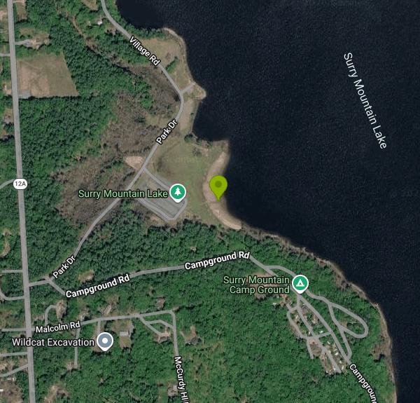
From downtown Keene, drive north on NH Route 12A for roughly six miles. The entrance to the Surry Mountain Lake recreation area is on the right, and a park road leads down to a parking lot right behind the beach, so there is no walk to speak of. The Corps runs it as a day-use area only. There is no overnight camping, and visitors are asked to carry their trash back out.
The swim area is a long sandy beach (local coverage puts it at about 600 feet) with a marked area for swimmers. This is a shallow reservoir, averaging around 5 feet deep with a maximum near 14 feet, so the water warms up faster than the deeper lakes in the region. There are no lifeguards; the Corps posts it as a swim-at-your-own-risk facility. Dogs are allowed on leash in the park but not on the beach. Motorboats are permitted on the lake at no-wake speed, and the Corps limits engines to 10 horsepower, so swimmers mostly share the water with paddlers and anglers.
There is no admission charge for the beach. The only fees the Corps lists are for reserving the picnic shelters through Recreation.gov. Park hours are 8 a.m. to 8 p.m. Wednesday through Sunday. Mondays and Tuesdays are walk-in access days, when the office and some amenities may be closed but visitors can still use the park. A Recreation.gov notice also says the flush restrooms are not open and portable toilets are set out instead, so check before counting on the bathhouse.
Water quality is the main thing to watch. The Corps tests the beach weekly and posts advisories when bacteria counts top New Hampshire's swimming standard. In 2026 an advisory ran from July 9 until the beach reopened in mid-August, a stretch the Corps blamed on as many as 40 Canada geese and goslings using the lake. Short closures also happened in 2022 and 2024, usually after heavy rain. Because this is a flood-control reservoir, high water after big storms can also flood parts of the park. Call the project office at (603) 352-4130 or look for posted signs before swimming.
Beyond the beach, the park has picnic tables and grills, three picnic shelters, a playground and a boat ramp sized for small boats, canoes and kayaks. A nature trail runs through the recreation area, and the lake is a warmwater fishery with bass, pickerel, crappie and stocked trout.
More Information
Be courteous, informed, and prepared. Read trailhead guidelines, stay on the trail, and don't feed the wildlife.
Read More
- Plan Ahead and Prepare
- Travel & camp on durable surfaces
- Dispose of waste properly
- Leave what you find
- Minimize campfire impacts
- Respect wildlife
- Be considerate of other visitors
Directions
From Surry
- Head southwest on Beacon Ln toward Johnny Bowman Rd (0.8 mi)
- Continue onto Johnny Bowman Rd (1.3 mi)
- Turn left onto Simpson Mill Rd (0.6 mi)
- Turn right onto Turkey Ford Rd (1.2 mi)
- Turn left onto Siloam Rd (4.0 mi)
- Turn right onto Park Dr (0.9 mi)
- Turn left to merge onto I-74 W (7.7 mi)
- Keep right to stay on I-74 W, follow signs for I-77 N/
Wytheville Entering Virginia(5.0 mi) - Continue onto I-77 N (31.9 mi)
- Take exit 32 to merge onto I-81 N toward RoanokePassing through West Virginia, MarylandEntering Pennsylvania(350 mi)
- Slight left to stay on I-81 N (signs for I-78/
Hazleton/ Allentown) (19.1 mi) - Take exit 89 for I-78 E toward Allentown (0.6 mi)
- Continue onto I-78 E (50.3 mi)
- Keep left to stay on I-78 EEntering New Jersey(56.3 mi)
- Take exit 29 to merge onto I-287 N toward US-202 N/
US-206 N/ I-80/ Morristown (39.7 mi) - Keep left to stay on I-287 NEntering New York(8.0 mi)
- Take the I-87 S/
New York State Thruway/ I-287 exit toward Gov Mario M. Cuomo Br/ New York City (0.6 mi) - Merge onto I-87 SToll road(18.0 mi)
- Keep left to continue on I-287 E, follow signs for White Plains/
Rye (7.5 mi) - Take exit 9 S-N toward Hutchinson Pkwy/
Merritt Pkwy (0.4 mi) - Merge onto Westchester Ave (0.2 mi)
- Slight right onto the ramp to Westchester Ave/
North Hutchinson Pkwy/ Merritt Pkwy (0.2 mi) - Merge onto Hutchinson Riv Pkwy NEntering Connecticut(3.1 mi)
- Continue onto CT-15 N (63.1 mi)
- Slight right (1.1 mi)
- Merge onto CT-15 N (0.2 mi)
- Take the exit toward I-91 N (0.1 mi)
- Take the ramp onto I-91 NEntering Massachusetts(46.7 mi)
- Slight left to stay on I-91 N (signs for Greenfield)Entering Vermont(58.1 mi)
- Take exit 3 for US-5/
VT-9 E toward Brattleboro/ Keene N.H (0.2 mi) - Continue onto Chesterfield Rd (266 ft)
- At the traffic circle, take the 2nd exit onto Chesterfield Rd/
Rte 9 E Continue to follow Chesterfield Rd(0.2 mi) - Continue onto NH-9 EEntering New Hampshire(12.8 mi)
- Turn left onto Whitcombs Mill Rd (0.4 mi)
- Turn right onto Arch St (0.6 mi)
- Turn left onto Hurricane Rd (0.2 mi)
- Turn right onto Hastings Ave (0.6 mi)
- Slight right onto Maple Ave (1.3 mi)
- At the traffic circle, take the 2nd exit onto NH-12A N/
W Surry Rd Continue to follow NH-12A N(3.0 mi) - Turn right onto Park Dr (190 ft)
- Turn left to stay on Park DrRestricted usage road(0.2 mi)
- Turn right to stay on Park DrRestricted usage roadDestination will be on the right(0.1 mi)
Other Swimming Holes, Hiking Trails, Canoeing Areas, and Kayaking Areas Nearby
Pisgah State Park
Hinsdale, New Hampshire
14.9 miles SWA clothing-optional swimming area at Kilburn Pond inside Pisgah State Park — separate from the park's Pisgah Reservoir, so be sure to head to the right body of water.
Swim
Royalston Falls
Royalston, Massachusetts
20.4 miles SSwim near Royalston, Massachusetts
Swim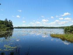
Contoocook Beach
Jaffrey
21.3 miles SEContoocook Beach is the Town of Jaffrey's sand beach on 344-acre Contoocook Lake, with a buoyed swim area, a bathhouse and concession stand, and Mount Monadnock filling the skyline across the water. Swimming is free for everyone, but the parking lot is re
Canoe, Hike, Kayak, Swim
Doane Falls
Royalston, Massachusetts
25.2 miles SSwim near Royalston, Massachusetts
Swim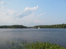
Lake Dennison Recreation Area
Winchendon
27.7 miles SEA DCR-run state recreation area in Winchendon with a sandy beach on Lake Dennison, a wooded Army Corps lake. Summer parking is $8 for Massachusetts plates and $30 for others.
Camp, Canoe, Hike, Kayak, Swim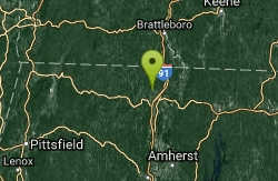
Greenfield Area
Southwick, Massachusetts
29.1 miles SWSwim near Southwick, Massachusetts
Swim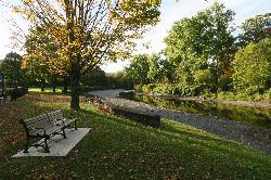
Green River Swimming and Recreation Area
Greenfield
31.5 miles SWGreenfield's municipal swim area on the Green River, where a low dam backs the current into a cold, slow pool with a sand beach, a WPA era bathhouse and lawns full of shade trees.
Swim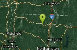
Glacial Potholes
Shelburne Falls, Massachusetts
35.1 miles SWSwim near Shelburne Falls, Massachusetts
Swim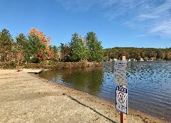
Lake Wyola State Park
Shutesbury
35.1 miles SDCR's Carroll A. Holmes Recreation Area has a lifeguarded sand beach on the northwest shore of quiet Lake Wyola in Shutesbury, with a seasonal $8 (MA) or $30 (out-of-state) parking fee.
Canoe, Hike, Kayak, Swim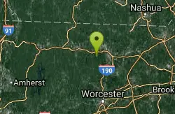
Leominster State Forest
Princeton, Massachusetts
40.8 miles SEOver 135 acres of surface water across five ponds in Leominster State Forest, with lifeguarded swimming at one pond, plus hiking, biking, and permitted rock climbing. Fees apply.
Swim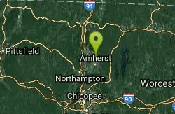
Puffers Pond
Amherst, Massachusetts
41.9 miles SSwim near Amherst, Massachusetts
Swim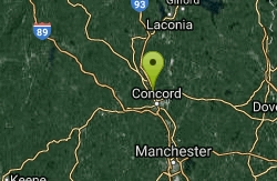
Old Wilton Reservoir
Concord, New Hampshire
42.0 miles NESwim near Concord, New Hampshire
Swim
Merrimack River
Concord, New Hampshire
42.0 miles NESwim near Concord, New Hampshire
Swim 2.1 mi
Wildcat Falls
Merrimack, New Hampshire
42.2 miles ECLOSED. THIS location has been closed until further notice. Effective June 26th, 2020 due to illegal activities and trail damage. An 87-acre conservation area along the Souhegan River featuring Wildcat Falls, pine and hardwood forest, a Heritage Trail extension, blueberry picking, and great bird watching in a cleared meadow.
Cross-country Ski, Dive, Hike, Mountain Bike, Snowshoe, Swim
Cummington
Cummington, Massachusetts
48.0 miles SWA small, cool pond on the river with a wide sandy beach and a mostly gay social atmosphere — clothing is optional, and parking near Route 9 is limited.
Swim
Windsor State Forest
Cummington, Massachusetts
48.9 miles SWSwim near Cummington, Massachusetts
Swim
Orange Dam
Northampton, Massachusetts
49.0 miles SWSwim near Northampton, Massachusetts
Swim
Sandy Pond Beach
Ayer
49.3 miles SEAyer's lifeguarded town beach on Sandy Pond, a 73-acre kettle pond. Residents swim free; non-residents pay $8 a day ($5 for children) during the summer season.
Swim
Bellevue Falls
Adams, Massachusetts
49.7 miles SWSwim near Adams, Massachusetts
Swim


