


Hensley Lake Recreation Area
Raymond
Camp, Hike, Kayak, and Swim
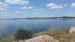
Hensley Lake Recreation Area is the public land around Hensley Lake, a U.S. Army Corps of Engineers reservoir on the Fresno River in the Madera County foothills. Hidden Dam created the lake, and it opened to public recreation in 1978. The Corps runs two developed areas on the roughly 1,500-acre lake: Hidden View Campground on the west shore and the Buck Ridge Recreation Area on the east shore. The designated swim beach is at Buck Ridge, in a sandy cove just south of the main boat ramp, and that is where this listing is pinned. Raymond is about 7 miles north and Madera about 17 miles southwest.
From Madera, take Yosemite Avenue (State Route 145) east 7.2 miles to Road 33, go 1 mile to Road 400, then turn right and follow Road 400 for 9.7 miles to the Buck Ridge entrance. Inside the park the road splits toward the boat ramp and the picnic grounds. The beach sits below the picnic shelters at the end of the southern branch, a short walk from the parking area. Hidden View Campground is a separate drive by way of Road 603 and Road 407, so set your map for Buck Ridge if you are coming to swim.
The beach is a sand and decomposed granite shore that slopes into a small cove, with picnic tables, barbecue grills, a playground, drinking water and restrooms nearby. The Corps currently lists the Buck Ridge swim beach as open. There is no lifeguard listed, so swimming is at your own risk. Hensley is an irrigation reservoir that feeds the Madera Irrigation System, and the Corps warns that the water is highest in spring and can be quite low by mid-summer. As the lake drops, the waterline pulls away from the sand and the exposed bottom gets muddier and rockier, and granite boulders that sit underwater in spring can end up just below the surface. Boats and water-skiers use the open lake, so stay inside the cove.
This is not a free swim. Every vehicle at Buck Ridge needs a day-use pass, and the Corps charges $10 per vehicle per day at the main entrance. America the Beautiful passes are accepted. Buck Ridge is day use only, with no overnight camping. The Recreation.gov listing does not post gate hours for Buck Ridge, so call the park office at 559-831-7040 or email hensley-info@usace.army.mil if you plan to arrive early or stay late. A group picnic pavilion with three included day-use passes can be reserved on Recreation.gov.
Harmful algal blooms have shown up here in past summers. In June 2018 KMPH reported blooms at Hensley and nearby Eastman Lake, and in August 2021 Madera County health officials warned of high toxin levels after Central Valley Water Board sampling, and the Corps posted signs at the Buck Ridge boat ramp. Before swimming in late summer, read the signs at the ramp and the State Water Board's HAB reports map, and keep kids and dogs out of the water whenever an advisory is posted. Summer afternoons in these foothills are very hot and shade near the water is limited.
Anglers fish the coves for largemouth bass, crappie, bluegill and catfish, and the Corps stocks rainbow trout in winter. Buck Ridge also has a disc golf course and a multi-use trail for hiking, mountain biking and horseback riding, plus boat ramps for kayaks and powerboats. Hidden View Campground across the lake has 53 sites, some with electric hookups, and its nightly fees rise to $30 for non-electric and $40 for electric sites on January 1, 2027.
More Information
Be courteous, informed, and prepared. Read trailhead guidelines, stay on the trail, and don't feed the wildlife.
Read More
- Plan Ahead and Prepare
- Travel & camp on durable surfaces
- Dispose of waste properly
- Leave what you find
- Minimize campfire impacts
- Respect wildlife
- Be considerate of other visitors
Directions
- Get directions on Google Maps
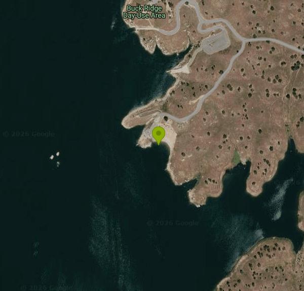 Hensley Lake on a calm spring day, looking across the open water from the granite shoreline. courtesy of Mutante↗ (CC BY-SA 3.0↗)
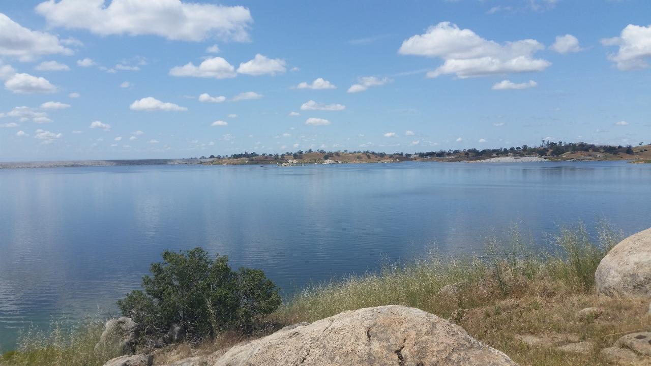
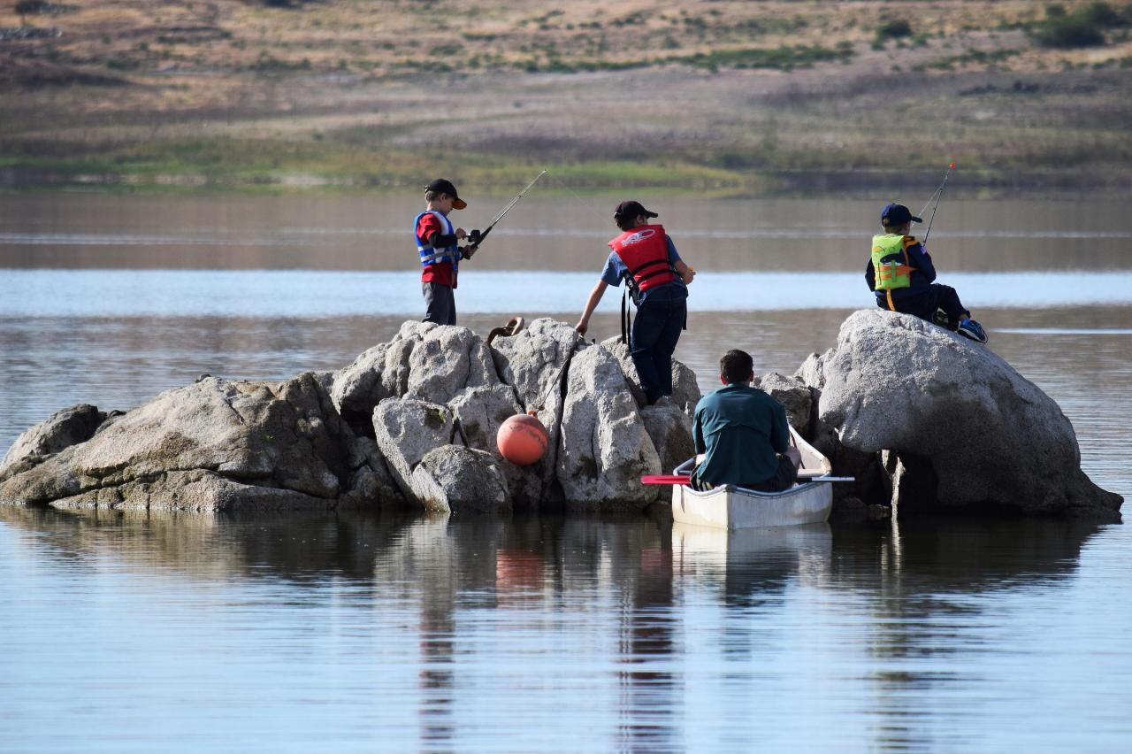
 Families fishing from the Hensley Lake shoreline, with the Hidden Dam embankment across the water. courtesy of U.S. Army Corps of Engineers Sacramento District↗ (Public domain↗)
 A granite outcrop standing in Hensley Lake, the kind of rock that sits just underwater when levels r courtesy of U.S. Army Corps of Engineers Sacramento District↗ (Public domain↗)
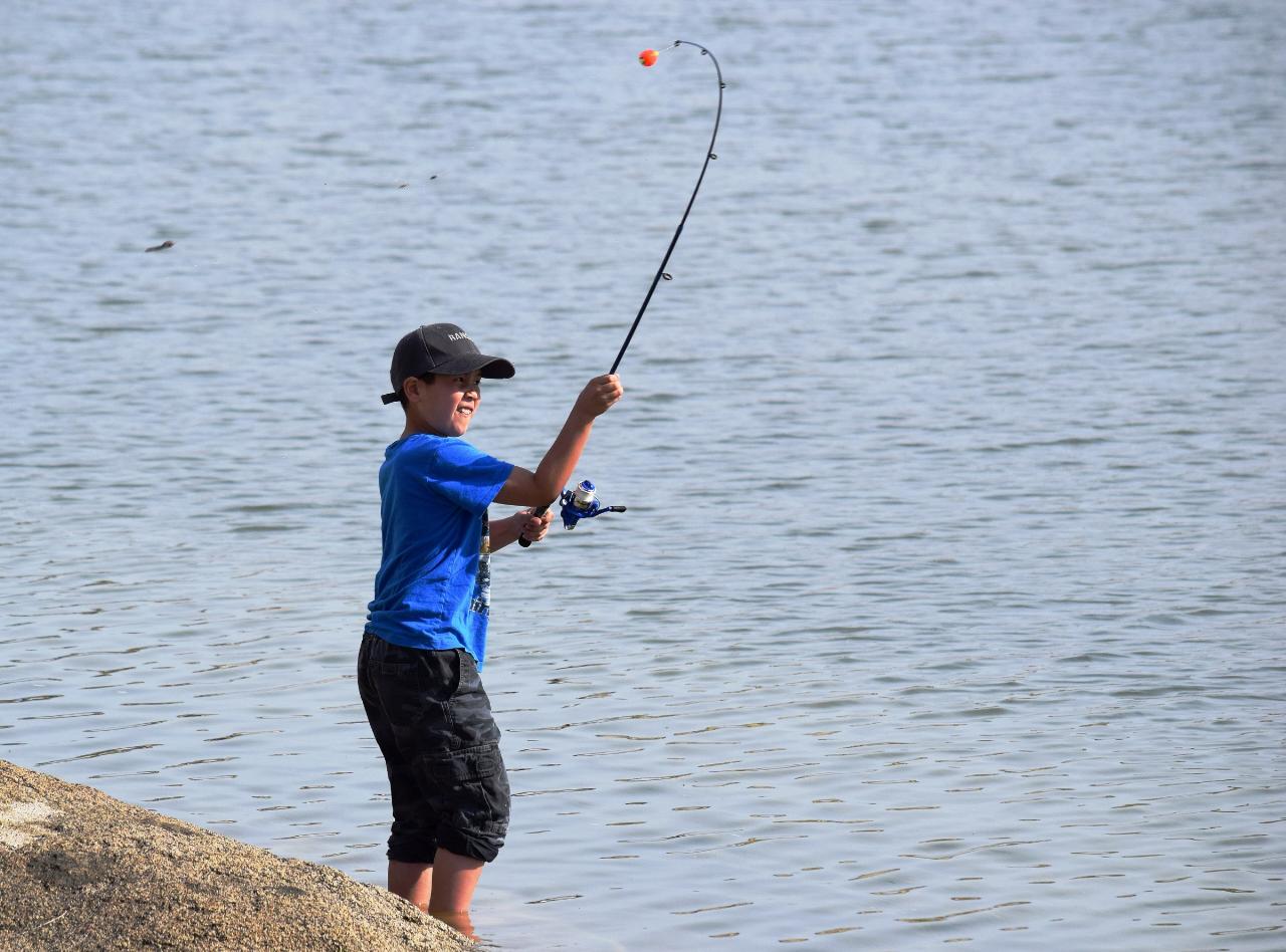
 A boy wading off a granite ledge into Hensley Lake. courtesy of U.S. Army Corps of Engineers Sacramento District↗ (Public domain↗)
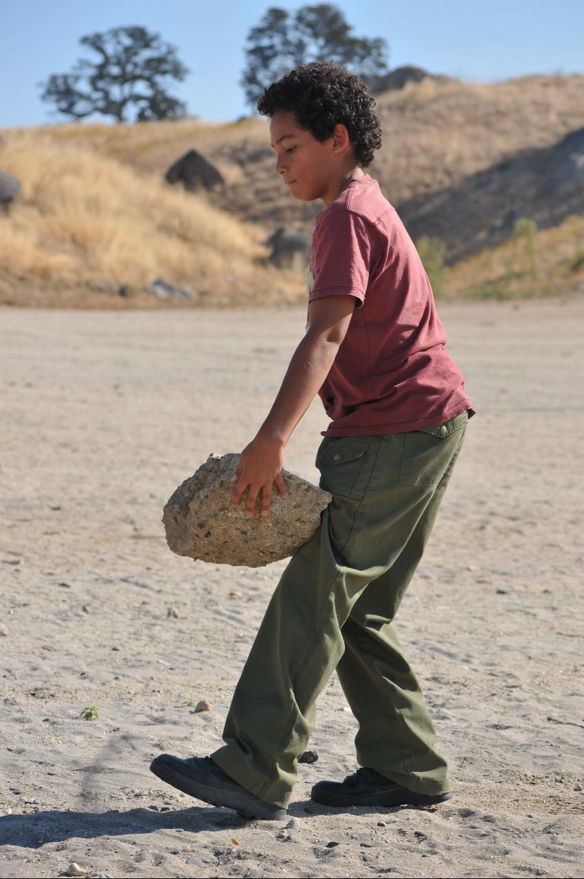
 A volunteer clearing rocks from the Hensley Lake swimming beach during National Public Lands Day. courtesy of U.S. Army Corps of Engineers Sacramento District↗ (Public domain↗)
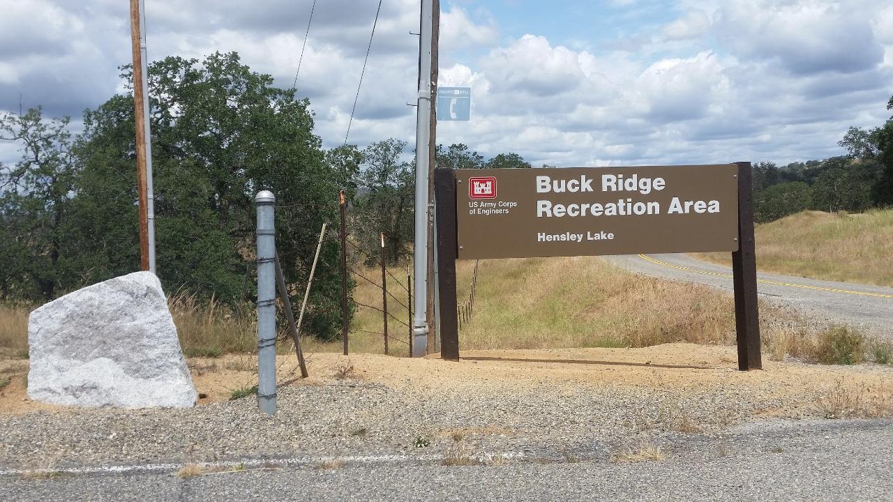
 The Corps of Engineers entrance sign for the Buck Ridge Recreation Area, home of the swim beach. courtesy of Mutante↗ (CC BY-SA 3.0↗)
Other Swimming Holes, Hiking Trails, and Kayaking Areas Nearby

Bass Lake Recreation Area
Oakhurst, California
22.8 miles NEWarm Sierra reservoir at 3,400 feet with Forest Service beaches and campgrounds, a waterfall trail at the north end, and Yosemite's south gate twenty miles up the road.
Camp, Canoe, Hike, Kayak, Swim 2.5 mi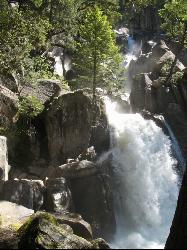
Chilnualna Falls
Wowana, Yosemite National Park
32.3 miles NEAn 8-mile round-trip hike in Yosemite to a lesser-known waterfall that passes through several forests and offers spring mist and creek crossings — horses and hikers share the trail.
Hike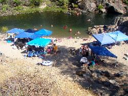
Briceburg Recreation Area
Midpines, California
33.6 miles NBriceburg is where State Route 140 drops out of the Sierra foothills and meets the Wild and Scenic Merced River, twelve miles east of Mariposa on the road to Yosemite, and it's one of the best public...
Camp, Kayak, Swim
Hite Cove Trail
El Portal, California
36.8 miles NOne of Yosemite's earliest wildflower blooms lights up the Hite Cove Trail in spring, with the added bonus of watching the South and Central Fork Merced rivers merge.
Hike, Swim 5.5 mi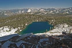
Ostrander Lake
Wawona, California
39.3 miles NEAn 11.4-mile Yosemite hike to a semi-secluded swim lake surrounded by granite mountains — wildflowers, streams, and meadows in summer; open for cross-country skiing in winter via Ostrander Lodge.
Hike, Swim 0.5 mi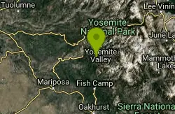
McGurk Meadow
Yosemite National Park
40.5 miles NA flat, 0.8-mile walk through one of Yosemite's most secluded wildflower meadows, complete with a brook and a historic 1800s cabin — few visitors, pure charm.
Hike 1.7 mi
Mono Meadow
Yosemite West, Yosemite National Park
41.5 miles NEA short, lightly trafficked 3-mile round-trip hike through a wildflower meadow recovering from wildfire, offering simultaneous views of Mt. Starr King, Clarke Range, and Half Dome.
Hike 0.2 mi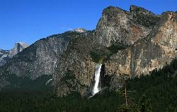
Bridalveil Falls
Yosemite Valley, Yosemite National Park
43.3 miles NA 620-foot waterfall that flows year-round and soaks onlookers with mist — Bridalveil Falls is just a quick half-mile paved walk from the trailhead, wheelchair accessible and pet friendly.
Hike 1.2 mi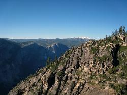
Taft Point
Yosemite Valley, Yosemite National Park
43.7 miles NA 5-mile Yosemite loop pairing Sentinel Dome with Taft Point, offering El Capitan views, dramatic cliff fissures, and 3,000-foot valley vistas — no guard rails, so watch your footing.
Hike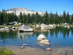
Crane Flat
Big Oak Flat, Yosemite National Park
43.8 miles NFramed between two giant sequoia groves, Crane Flat meadow is a quiet Yosemite base camp for birding, stargazing, and seasonal hikes to Lukens and Harden Lake.
Backpack, Camp, Hike, Snowshoe 0.2 mi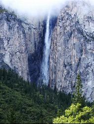
Ribbon Falls
Yosemite Valley, Yosemite National Park
43.9 miles NThe longest single-drop waterfall in North America at 1,612 feet — seasonal and best seen in late morning when the sun hits it directly, visible from El Capitan Road as you enter Yosemite Valley.
Hike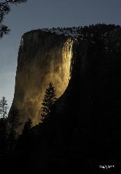
Horsetail Falls
Yosemite Valley, Yosemite National Park
44.4 miles NFor a few weeks in mid-to-late February, Horsetail Falls glows orange with reflected sunset light — a rare 'firefall' phenomenon requiring clear skies and a parking permit.
Hike 0.4-2.1 mi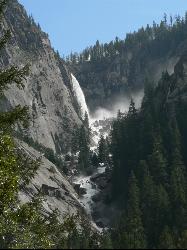
Illilouette Falls
Yosemite West, Yosemite National Park
44.6 miles NEA 4-mile hike starting downhill from Glacier Point to a footbridge view of Illilouette Falls — with a side trip on the quieter Panorama Trail adding Half Dome and Nevada Falls views.
Hike 15.9 mi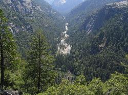
Valley Loop Trail
Yosemite Valley, Yosemite National Park
45.2 miles NAn 11.5-mile loop trail through the heart of Yosemite Valley following the Merced River past wildflower meadows, the Three Brothers, El Capitan, and Bridalveil Falls — with nearly no elevation gain.
Hike 0.3 mi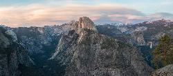
Glacier Point
Yosemite National Park
45.3 miles NPerched at 7,214 feet above Yosemite Valley, Glacier Point delivers bird's-eye views of Half Dome, El Capitan, and multiple waterfalls — accessible by car or a 4.7-mile hike.
Hike 4.6 mi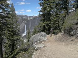
Four Mile Trail
Yosemite National Park
45.4 miles NA 4.7-mile one-way hike connecting Yosemite Valley to Glacier Point with views of Yosemite Falls, Half Dome, El Capitan, and the Royal Arches — best visited in spring when the falls run full.
Hike 1.9-2.9 mi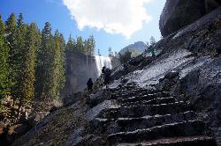
Mist Trail
Yosemite National Park
45.9 miles NA steep, mist-soaked Yosemite staircase hike climbing 639 stone steps past Vernal and Nevada Falls — with Half Dome, Whitecap, and Mt. Broderick views from the switchbacks above.
Backpack, Hike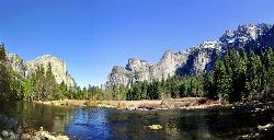
Merced River
Yosemite Valley, Yosemite National Park
46.0 miles NThe Merced River circles Yosemite Valley with whitewater, swimming holes, gold-panning spots, and unbeatable views of Yosemite Falls and Glacier Point at every bend.
Camp, Swim, Whitewater 0.7 mi
Cook's Meadow Loop
Yosemite Valley, Yosemite National Park
46.0 miles NA nearly 1-mile, nearly flat loop in Sentinel Meadow with close-up views of Yosemite Falls, Half Dome, Glacier Point, and Sentinel Rock — Yosemite's best easy walk.
Hike 0.8 mi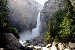
Lower Yosemite Falls
Yosemite Valley, Yosemite National Park
46.1 miles NA short, flat walk to the base of a 3,967-foot waterfall — twice the height of the Empire State Building and one of North America's tallest, best visited in spring or early summer before it dries.
HikeNearby Campsites
Bass Lake Recreation Area
Oakhurst, California
22.8 miles NEWarm Sierra reservoir at 3,400 feet with Forest Service beaches and campgrounds, a waterfall trail at the north end, and Yosemite's south gate twenty miles up the road.
Camp, Canoe, Hike, Kayak, Swim
Briceburg Recreation Area
Midpines, California
33.6 miles NBriceburg is where State Route 140 drops out of the Sierra foothills and meets the Wild and Scenic Merced River, twelve miles east of Mariposa on the road to Yosemite, and it's one of the best public...
Camp, Kayak, Swim
Crane Flat
Big Oak Flat, Yosemite National Park
43.8 miles NFramed between two giant sequoia groves, Crane Flat meadow is a quiet Yosemite base camp for birding, stargazing, and seasonal hikes to Lukens and Harden Lake.
Backpack, Camp, Hike, Snowshoe
Merced River
Yosemite Valley, Yosemite National Park
46.0 miles NThe Merced River circles Yosemite Valley with whitewater, swimming holes, gold-panning spots, and unbeatable views of Yosemite Falls and Glacier Point at every bend.
Camp, Swim, Whitewater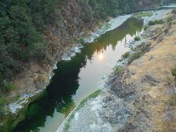
Standish Hickey Area
Lakeshore, California
49.3 miles EA two-mile stretch of the south fork of the Eel River inside a redwood canyon 180 miles from San Francisco — swim, kayak, fish, or hike, then camp near the 1,200-year-old Captain Miles Standish Tree.
Backpack, Camp, Hike, Kayak, Swim
Don Pedro Swimming Lagoon (Fleming Meadows)
La Grange
49.6 miles NWAn enclosed two acre sand bottom swimming lagoon with a lawn, snack shack and beach at Fleming Meadows on Don Pedro Reservoir, run by a public agency for a $20 vehicle day use fee.
Camp, Hike, Kayak, Swim


