


Bass Lake Recreation Area
Oakhurst, California
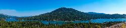
| GPS: |
37°20'30.4"N 119°34'21.0"W Maps | Directions |
| State: | California |
Camp, Canoe, Hike, Kayak, and Swim
Bass Lake is the warmest swimmable water in this part of the Sierra Nevada and the locals know it. The reservoir covers about 1,165 acres behind Crane Valley Dam, which PG&E built across Willow Creek starting in 1901 and raised to its present height a decade later for hydroelectric storage. It sits at roughly 3,400 feet, low enough that the surface climbs into the upper 70s by late July and stays comfortable into September, and high enough that the pines come down to the waterline. The Sierra National Forest manages the recreation around it, and the lake has a village, a marina, rental docks and a genuine summer crowd.
The north end is the quieter side and where this listing points. There are informal beaches along the shore near Recreation Point where the bank flattens into sand and decomposed granite, and the water is shallow enough there to warm early in the season. Further around, the Falls Beach and Rocky Point day-use areas have parking, vault toilets and picnic tables, and the Denver Church Picnic Area has a swim area with a lawn. Nothing on this lake is lifeguarded. Forest Service day-use lots charge a parking fee, generally around ten dollars, and the paved shoulder pullouts along Road 222 and Road 274 fill on weekends.
Early in the season the water runs amber. Willow Creek drains a forested watershed and carries leaf tannins into the lake, so through May and June the color is tea rather than blue; it clears as summer goes on. The other seasonal factor is the drawdown. PG&E pulls the reservoir down through late summer and fall, and by October the beaches are wide and the boat ramps are long walks. June through August is the window.
Four Forest Service campgrounds ring the lake: Forks, Lupine, Spring Cove and the Recreation Point group camp, all reserved through recreation.gov and all within walking distance of water. Sites are under ponderosa and incense cedar and book out months ahead for July weekends. The lake permits motorboats and it is a serious waterskiing and wakeboarding lake, so the middle gets busy and choppy by mid-morning; paddlers do better in the coves at either end, early.
The walk worth making starts at the north end near Recreation Point. A trail follows Willow Creek up to Angel Falls, a run of granite chutes and pools about a mile in, and continues to Devils Slide and Corlieu Falls further along. The creek pools look inviting and people swim them, but the granite is polished and slick and the current in the chutes is stronger than it appears, which is a bad combination in high water. Wait until the creek is low, in late summer.
The village of Bass Lake at the southwest corner has a store, restaurants and the Pines Resort. Oakhurst is five miles west on Highway 41 with full services, and the Yosemite south entrance and the Mariposa Grove of giant sequoias are about twenty miles north, which is why so many Yosemite trips end with an afternoon on this lake.
More Information
Be courteous, informed, and prepared. Read trailhead guidelines, stay on the trail, and don't feed the wildlife.
Read More
- Plan Ahead and Prepare
- Travel & camp on durable surfaces
- Dispose of waste properly
- Leave what you find
- Minimize campfire impacts
- Respect wildlife
- Be considerate of other visitors
Directions
From Oakhurst, California
- Head southeast on Chapel Hill Dr toward Rd 425B/
Fresno Flats Rd (95 ft) - Turn left onto Rd 425B/
Fresno Flats Rd (154 ft) - Turn left onto Rd 426/
Crane Valley Rd (0.4 mi) - Turn right onto CA-41 N (3.1 mi)
- Turn right onto Rd 222/
Bass Lake Rd (3.5 mi) - Continue onto Rd 274/
Malum Ridge Rd (0.8 mi) - Sharp left onto 7S82 (0.7 mi)
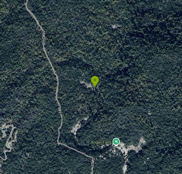 Bass Lake in summer, the full basin ringed by pine covered slopes
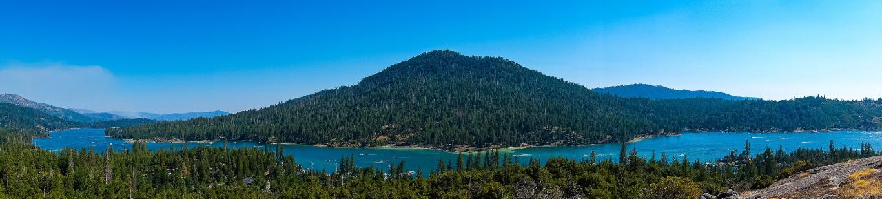
 Sunset over the lake from Glass Rock courtesy of Guywelch2000↗ (CC BY 4.0↗)
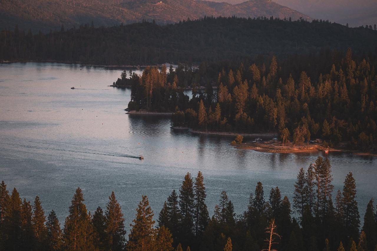
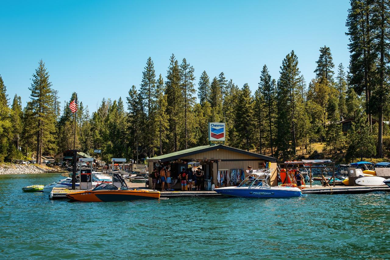
 Boats tied at the dock by the lakeside store at Millers Landing
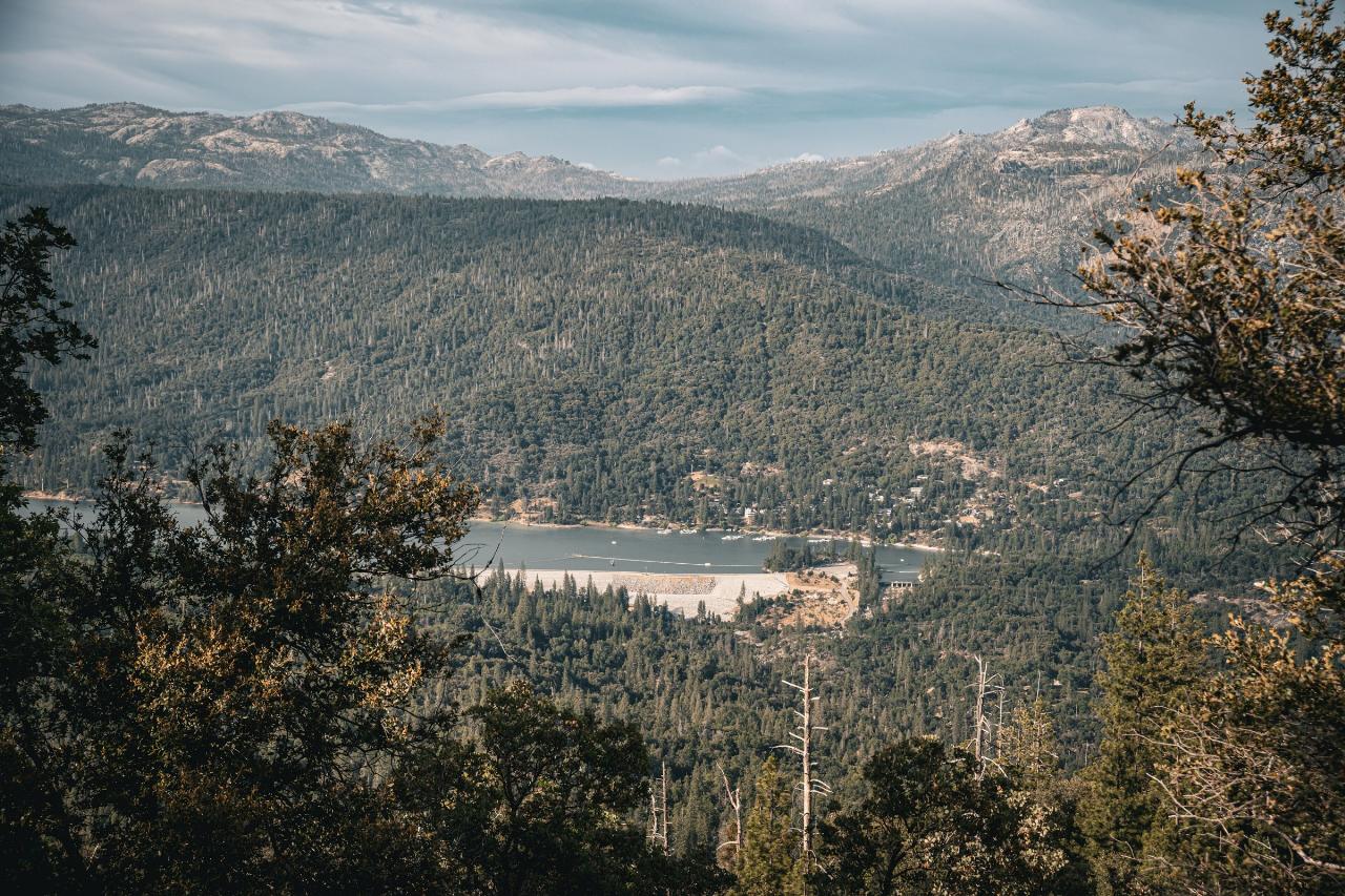
 The reservoir and its shoreline courtesy of Guywelch2000↗ (CC0↗)
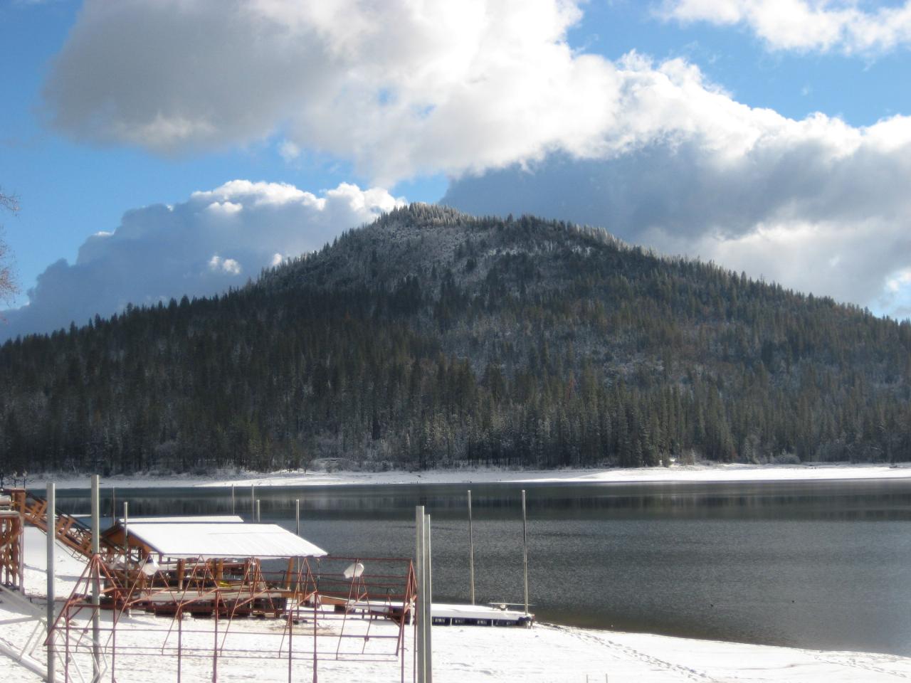
 Goat Mountain across the water from a dock in winter courtesy of Guywelch2000↗ (CC BY-SA 4.0↗)
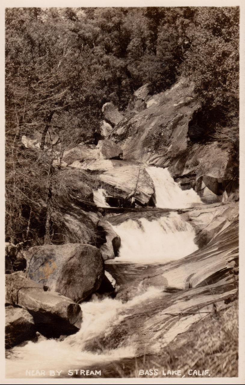
 A historic view of the Willow Creek cascade above the lake courtesy of Unknown authorUnknown author↗ (Public domain↗)
Other Swimming Holes, Hiking Trails, Canoeing Areas, and Kayaking Areas Nearby
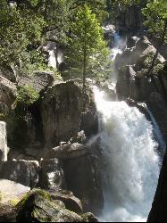
Chilnualna Falls
Wowana, Yosemite National Park
14.8 miles NAn 8-mile round-trip hike in Yosemite to a lesser-known waterfall that passes through several forests and offers spring mist and creek crossings — horses and hikers share the trail.
Hike 5.5 mi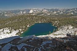
Ostrander Lake
Wawona, California
19.6 miles NAn 11.4-mile Yosemite hike to a semi-secluded swim lake surrounded by granite mountains — wildflowers, streams, and meadows in summer; open for cross-country skiing in winter via Ostrander Lodge.
Hike, Swim 1.7 mi
Mono Meadow
Yosemite West, Yosemite National Park
22.8 miles NA short, lightly trafficked 3-mile round-trip hike through a wildflower meadow recovering from wildfire, offering simultaneous views of Mt. Starr King, Clarke Range, and Half Dome.
Hike 0.5 mi
McGurk Meadow
Yosemite National Park
22.9 miles NA flat, 0.8-mile walk through one of Yosemite's most secluded wildflower meadows, complete with a brook and a historic 1800s cabin — few visitors, pure charm.
Hike 0.4-2.1 mi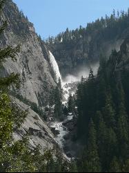
Illilouette Falls
Yosemite West, Yosemite National Park
25.7 miles NA 4-mile hike starting downhill from Glacier Point to a footbridge view of Illilouette Falls — with a side trip on the quieter Panorama Trail adding Half Dome and Nevada Falls views.
Hike 1.2 mi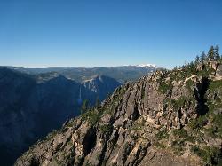
Taft Point
Yosemite Valley, Yosemite National Park
25.7 miles NA 5-mile Yosemite loop pairing Sentinel Dome with Taft Point, offering El Capitan views, dramatic cliff fissures, and 3,000-foot valley vistas — no guard rails, so watch your footing.
Hike 0.2 mi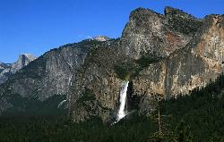
Bridalveil Falls
Yosemite Valley, Yosemite National Park
26.2 miles NA 620-foot waterfall that flows year-round and soaks onlookers with mist — Bridalveil Falls is just a quick half-mile paved walk from the trailhead, wheelchair accessible and pet friendly.
Hike 0.2 mi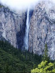
Ribbon Falls
Yosemite Valley, Yosemite National Park
26.7 miles NThe longest single-drop waterfall in North America at 1,612 feet — seasonal and best seen in late morning when the sun hits it directly, visible from El Capitan Road as you enter Yosemite Valley.
Hike 0.3 mi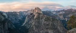
Glacier Point
Yosemite National Park
26.7 miles NPerched at 7,214 feet above Yosemite Valley, Glacier Point delivers bird's-eye views of Half Dome, El Capitan, and multiple waterfalls — accessible by car or a 4.7-mile hike.
Hike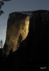
Horsetail Falls
Yosemite Valley, Yosemite National Park
26.9 miles NFor a few weeks in mid-to-late February, Horsetail Falls glows orange with reflected sunset light — a rare 'firefall' phenomenon requiring clear skies and a parking permit.
Hike 1.9-2.9 mi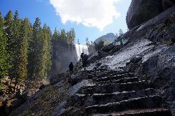
Mist Trail
Yosemite National Park
27.0 miles NA steep, mist-soaked Yosemite staircase hike climbing 639 stone steps past Vernal and Nevada Falls — with Half Dome, Whitecap, and Mt. Broderick views from the switchbacks above.
Backpack, Hike 4.6 mi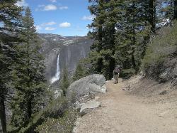
Four Mile Trail
Yosemite National Park
27.1 miles NA 4.7-mile one-way hike connecting Yosemite Valley to Glacier Point with views of Yosemite Falls, Half Dome, El Capitan, and the Royal Arches — best visited in spring when the falls run full.
Hike
Hite Cove Trail
El Portal, California
27.3 miles NWOne of Yosemite's earliest wildflower blooms lights up the Hite Cove Trail in spring, with the added bonus of watching the South and Central Fork Merced rivers merge.
Hike, Swim 15.9 mi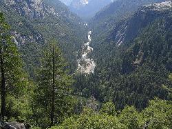
Valley Loop Trail
Yosemite Valley, Yosemite National Park
27.4 miles NAn 11.5-mile loop trail through the heart of Yosemite Valley following the Merced River past wildflower meadows, the Three Brothers, El Capitan, and Bridalveil Falls — with nearly no elevation gain.
Hike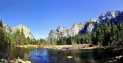
Merced River
Yosemite Valley, Yosemite National Park
27.6 miles NThe Merced River circles Yosemite Valley with whitewater, swimming holes, gold-panning spots, and unbeatable views of Yosemite Falls and Glacier Point at every bend.
Camp, Swim, Whitewater 0.7 mi
Cook's Meadow Loop
Yosemite Valley, Yosemite National Park
27.9 miles NA nearly 1-mile, nearly flat loop in Sentinel Meadow with close-up views of Yosemite Falls, Half Dome, Glacier Point, and Sentinel Rock — Yosemite's best easy walk.
Hike 0.8 mi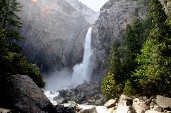
Lower Yosemite Falls
Yosemite Valley, Yosemite National Park
28.0 miles NA short, flat walk to the base of a 3,967-foot waterfall — twice the height of the Empire State Building and one of North America's tallest, best visited in spring or early summer before it dries.
Hike 1.9 mi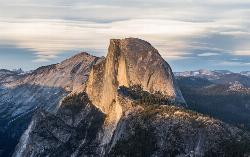
Half Dome
Yosemite Valley, Yosemite National Park
28.1 miles NA grueling 14-mile round-trip hike with 4,800 feet of gain to the summit of Half Dome, including a cable section in the final 400 feet — a permit is required and a sunrise start is essential.
Hike
Devil's Bathtub
Yosemite Valley, California
28.1 miles NA warm, off-the-beaten-path pool fed by the Royal Arches Cascade just above Yosemite's Ahwanhee Hotel — great for families or a picnic near world-class climbing walls.
Swim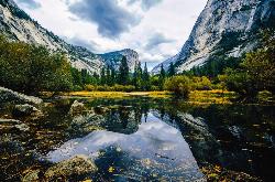
Mirror Lake
Yosemite Valley, Yosemite National Park
28.1 miles NA paved, car-free trail winds to this seasonal lake at the base of Half Dome, offering a still mirror reflection and a popular summer swimming hole.
Backpack, Hike, SwimNearby Campsites
Merced River
Yosemite Valley, Yosemite National Park
27.6 miles NThe Merced River circles Yosemite Valley with whitewater, swimming holes, gold-panning spots, and unbeatable views of Yosemite Falls and Glacier Point at every bend.
Camp, Swim, Whitewater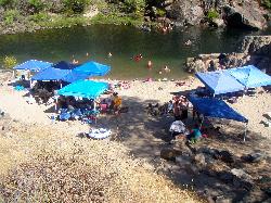
Briceburg Recreation Area
Midpines, California
28.5 miles NWBriceburg is where State Route 140 drops out of the Sierra foothills and meets the Wild and Scenic Merced River, twelve miles east of Mariposa on the road to Yosemite, and it's one of the best public...
Camp, Kayak, Swim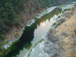
Standish Hickey Area
Lakeshore, California
30.5 miles EA two-mile stretch of the south fork of the Eel River inside a redwood canyon 180 miles from San Francisco — swim, kayak, fish, or hike, then camp near the 1,200-year-old Captain Miles Standish Tree.
Backpack, Camp, Hike, Kayak, Swim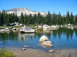
Crane Flat
Big Oak Flat, Yosemite National Park
30.7 miles NWFramed between two giant sequoia groves, Crane Flat meadow is a quiet Yosemite base camp for birding, stargazing, and seasonal hikes to Lukens and Harden Lake.
Backpack, Camp, Hike, Snowshoe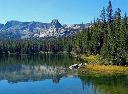
Crystal Lake
Mammoth Lakes, California
35.7 miles NEA 3.2-mile roundtrip Sierra day hike past Lake George, Lake Marie, and Lake Mamie, ending at Crystal Lake beneath the monolith Crystal Crag — shaded trail with room to swim, fish, or picnic lakeside.
Camp, Hike 5.7 mi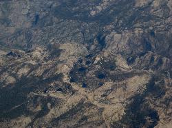
Ten Lakes
Tuolumne Meadows, Yosemite National Park
38.8 miles NA 6.4-mile hike from Yosemite Creek to three of the Ten Lakes Basin's seven lakes, through wildflower meadows, forests, and past the Grand Canyon of the Tuolumne, gaining 2,200 feet.
Backpack, Camp, Hike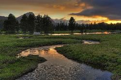
Tuolumne Meadows
Tuolumne County, California
39.0 miles NA stunning alpine meadow in the high Sierra with granite domes and mountain views, the meandering Tuolumne River, and access to Yosemite backcountry — open summer only when the park road is clear.
Camp, Hike 6.1 mi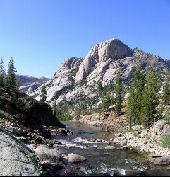
Glen Aulin
Wawona, California
40.1 miles NAn 11-mile hike along the Tuolumne River to Glen Aulin with 800 feet of gain, passing Tuolumne Falls, Soda Springs, wildflower meadows, and the stunning White Cascade.
Backpack, Camp, Hike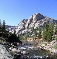
Glen Aulin
Glen Aulin, California
40.1 miles NA popular introductory Yosemite High Country backcountry hike following the Tuolumne River to a High Sierra Camp beside the White Cascade waterfall, with further options to Waterwheel Falls.
Backpack, Camp, Hike, Swim 4.0 mi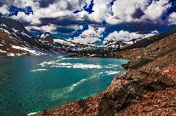
Saddlebag Lake
Lee Vining, California
46.2 miles NAt 10,008 ft, this Eastern Sierra alpine lake offers exceptional trout fishing, a scenic four-mile loop, and a water taxi into the heart of the Twenty Lakes Basin.
Camp, Canoe, Hike
Crowley Lake Campground
Crowley Lake, California
46.9 miles ENestled in the stunning Eastern Sierra near Crowley Lake, this BLM campground offers first-come, first-served sites for tents, RVs, and trailers with breathtaking high-desert views.
Camp
Wild Willy's Hot Spring
Mammoth Lakes, California
49.0 miles NEA soaking hot spring in Long Valley's open sagebrush plain — pools range from 95°F to 105°F, with a larger deeper pool and smaller, hotter pools, reached by a 0.2-mile wooden boardwalk from the parking area.
Camp, Hot Springs


