


Don Pedro Swimming Lagoon (Fleming Meadows)
La Grange
Camp, Hike, Kayak, and Swim
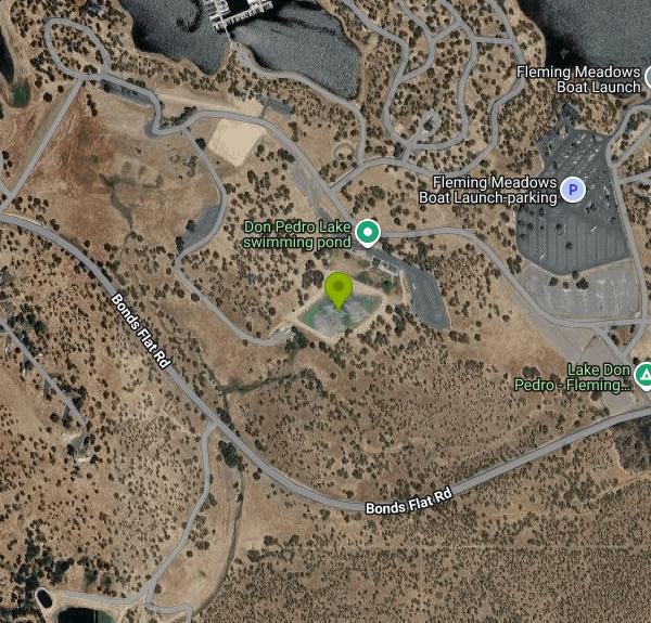
The swimming lagoon at Fleming Meadows is an enclosed, sand bottomed basin at the edge of Don Pedro Reservoir, separated from the open water and backed by a long grass lawn. The agency that runs it calls the lagoon two acres. Traced off its mapped outline it works out to about 1.8, which is close enough. Sand beach on the water side, lawn and picnic tables behind it, then a snack shack and restrooms. It reads more like a municipal swim park set down in the Sierra foothills than a river hole, and that is the appeal for anyone bringing small children to a reservoir whose real shoreline is steep, rocky and constantly moving with irrigation demand.
This is a public operation despite the gate fee. The Don Pedro Recreation Agency is a joint agency of the Turlock and Modesto Irrigation Districts, and its Board of Control adopts the fee schedule in open meetings. For 2026, day use is $20 per vehicle per day, $16 for veterans, and $15 per vessel. Dogs are $10 per dog per day. Annual permits run $160 for a vehicle sticker, $190 for the transferable hangtag, and $70 for drivers 62 and over. A reserved group picnic site is $145. Card payments carry a 3 percent processing charge.
Day use hours across the recreation area are 5 a.m. to 10 p.m. The lagoon itself is seasonal. The agency announced it open for the 2026 season on April 15, and in past years it has closed somewhere between late September and the middle of October, so call the visitor center at (209) 852-2396 before a shoulder season trip. There are no lifeguards. The published fee schedule states that use of the project and its facilities is at your own risk, and nothing in the agency regulations provides for lifeguard staffing. Dogs are welcome elsewhere in the recreation area but are barred from the lagoon and the picnic areas beside it under Section 2.3.7. Nothing may be left overnight in the lagoon, on the lakeshore or in the picnic areas, and portable wading pools are not permitted anywhere in the recreation area.
Fleming Meadows has 90 full hookup sites and 176 non hookup and walk in tent sites, plus free hot showers, a dump station, the Trading Post store, a fish cleaning station, horseshoe pits, a ball field, a volleyball court, a launch ramp and a full service marina with a cafe. Free wifi reaches the entry kiosk, the Trading Post and the lagoon. Reservations open a year ahead and close two days before arrival, with a two night minimum and three nights on holiday weekends. Stays cap at 14 consecutive nights between May 1 and September 30. Reservation, change and cancellation fees are $15 each. One oddity worth knowing before you book: the published 2026 camping rate table is labeled for Blue Oaks and Moccasin Point only, so confirm the Fleming Meadows nightly rate at the time of booking.
The entrance is at 11500 Bonds Flat Road in La Grange, roughly 40 road miles east of Modesto by way of Highway 132. Quiet hours run 10 p.m. to 7 a.m., campsites hold eight people, check in is 4 p.m. and check out is 11 a.m. Anyone under 18 must be at their campsite between 11 p.m. and 5 a.m. Boaters launching here have to complete the golden mussel self inspection first, though that requirement does not apply to swimmers.
More Information
Camping – Don Pedro Lake Site
Don Pedro Recreation Agency offers campsites at three campgrounds: Fleming Meadows and Blue Oaks located on the west shore, and Moccasin Point located on the east shore. As well as developed campgrounds, Don Pedro Recreation Agency also offers Dispersed Area Camping.
https://www.donpedrolake.com/recreation-area/camping/Don Pedro Project - TID Water & Power
Don Pedro Project - The First Don Pedro Reservoir In 1923, Turlock and Modesto Irrigation Districts joined forces to build the first Don Pedro Dam, which had a storage
https://www.tid.com/water/don-pedro-reservoirFleming Meadows – Don Pedro Lake Site
Fleming Meadows Recreation Area offers different camping loops for full hook-up campsites, tent campsites, and walk-in campsites. Featuring a 2-acre swimming lagoon, complete with sand bottom/beach area, large grass lawn area, snack shack, and picnic area. Fleming Meadows also offers a group picnic area, horseshoe pits, ball field, volleyball court, boat launch ramp, fish cleaning station, hot showers (no additional charge), sewage dump station, camp store, and full-service marina.
https://www.donpedrolake.com/fleming-meadows/Picnicking – Don Pedro Lake Site
Day-use picnic areas are available at both Fleming Meadows and Moccasin Point recreation areas. They will accommodate you and your family on a first-come, first-serve basis.
https://www.donpedrolake.com/recreation-area/picnicking/Recreation Area – Don Pedro Lake Site
More than 14 million people have visited Don Pedro Lake since 1971. With 160 miles of shoreline and nearly 13,000 surface acres (at maximum lake level), visitors can enjoy boating, fishing, water sports, swimming, and camping. One of the highlights of the year is the annual fireworks show over the lake celebrating the Fourth of July.
https://www.donpedrolake.com/recreation-area/Reservations – Don Pedro Lake Site
Reservations are accepted by phone or by clicking on the link to the right that says “CLICK HERE FOR ANNUAL PERMITS OR TO MAKE YOUR RESERVATION TODAY!” Reservations are accepted up to one (1) year, but no less than two (2) days in advance of the indicated date of arrival. All reservations must be paid in full at the time the reservation is made. The Reservation Office located in the Visitor Center is open Monday-Friday, 8 am – 4 pm (closed for lunch 12-1) and can be reached at 209-852-2396, ext. 3. Our lines are currently experiencing high call volumes. It is recommended to email dprc@tid.org for assistance and someone from Customer Service will get back to you as soon as possible.
https://www.donpedrolake.com/reservations/Be courteous, informed, and prepared. Read trailhead guidelines, stay on the trail, and don't feed the wildlife.
Read More
- Plan Ahead and Prepare
- Travel & camp on durable surfaces
- Dispose of waste properly
- Leave what you find
- Minimize campfire impacts
- Respect wildlife
- Be considerate of other visitors
Directions
From La Grange
- Head west on E 47th St toward LaGrange Rd (1.0 mi)
- Turn right onto S Gilbert Ave (1.0 mi)
- Turn left onto US-34 W (1.2 mi)
- Take the I-294 N/
Tollway ramp to Wisconsin Toll road(0.2 mi) - Merge onto I-294 NToll road(1.3 mi)
- Take exit 29 for I-88 W/
East-West Tollway toward Aurora Toll road(1.7 mi) - Merge onto I-88 WToll road(137 mi)
- Take exit 1B to merge onto I-80 W toward Des MoinesEntering Iowa(186 mi)
- Take exit 124 for University Ave toward Clive (0.5 mi)
- Turn right onto University Ave (3.8 mi)
- Turn left onto Grand Prairie Pkwy (2.0 mi)
- Take the ramp onto I-80 WEntering Nebraska(124 mi)
- Continue straight to stay on I-80 WEntering Wyoming(571 mi)
- Keep left to stay on I-80 WEntering Utah(353 mi)
- Take exit 123B-A for I-15 S/
UT-201 W toward W Valley/ Las Vegas (0.5 mi) - Take the ramp to UT-201 W (0.2 mi)
- Take the UT-201 W ramp (1.1 mi)
- Continue onto UT-201 W (16.8 mi)
- Merge onto I-80 WEntering Nevada(102 mi)
- Take exit 410 for US-93 Alt toward W Wendover Ely (0.2 mi)
- Turn left onto US-93 ALT S/
Florence Wy (0.2 mi) - Turn left onto I-80BUS E (0.2 mi)
- Turn right onto US-93 ALT S (58.8 mi)
- Continue onto US-93 S (59.3 mi)
- Turn left onto Great Basin Blvd (0.8 mi)
- Turn right onto US-6 W (168 mi)
- Merge onto US-6 W/
US-95 N/ S Erie Main St/ S Main St via the ramp to Bishop/ Reno Continue to follow US-6 W/(40.7 mi)US-95 N - Turn left onto US-6 W (signs for Bishop)Entering California(40.6 mi)
- Turn right onto CA-120 W (signs for Lee Vining/
Yosemite Nat'l Pk) (45.4 mi) - Turn right onto US-395 N (4.7 mi)
- Turn left onto CA-120 W/
Tioga Rd/ Tioga Pass Rd (signs for California 120 W/ Yosemite) Continue to follow Tioga Rd/Tioga Pass Rd Toll roadParts of this road may be closed at certain times or days(58.6 mi) - Turn right onto Big Oak Flat Rd (signs for CA-120 W/
San Francisco) (24.9 mi) - Turn left onto Smith Station Rd (0.1 mi)
- Turn left to stay on Smith Station Rd (5.6 mi)
- Continue onto Greeley Hill Rd (8.4 mi)
- Turn left onto CA-49 S (161 ft)
- Turn right onto CA-132 W (12.8 mi)
- Turn right onto Bonds Flat Rd (2.6 mi)
- Turn right onto Fleming Meadows Rd (361 ft)
- Turn right (246 ft)
- Turn left (0.6 mi)
- Turn left (0.3 mi)
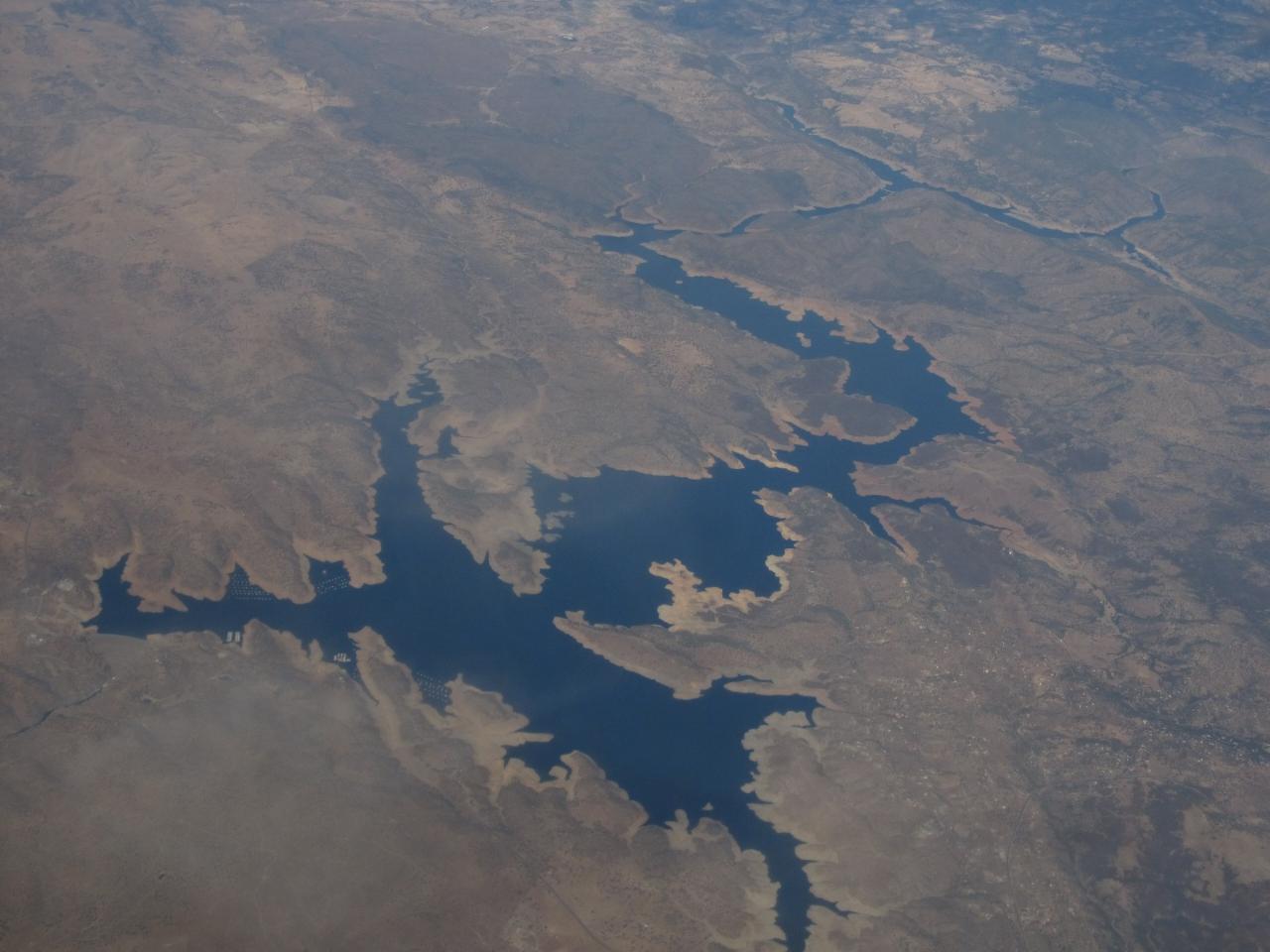
 Don Pedro Reservoir from the air, with houseboat moorings along one of its arms courtesy of Ken Lund from Reno, Nevada, USA↗ (CC BY-SA 2.0↗)
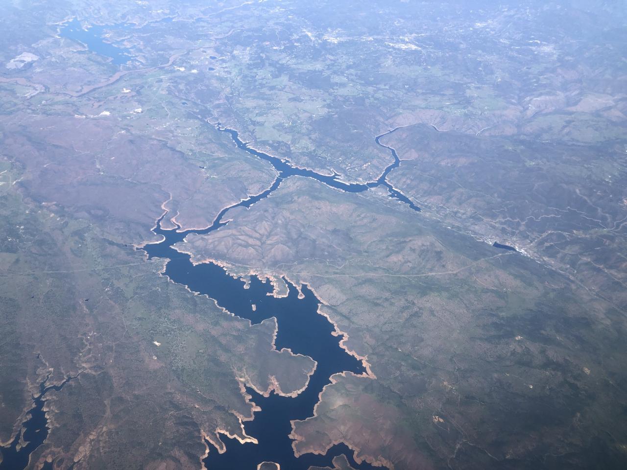
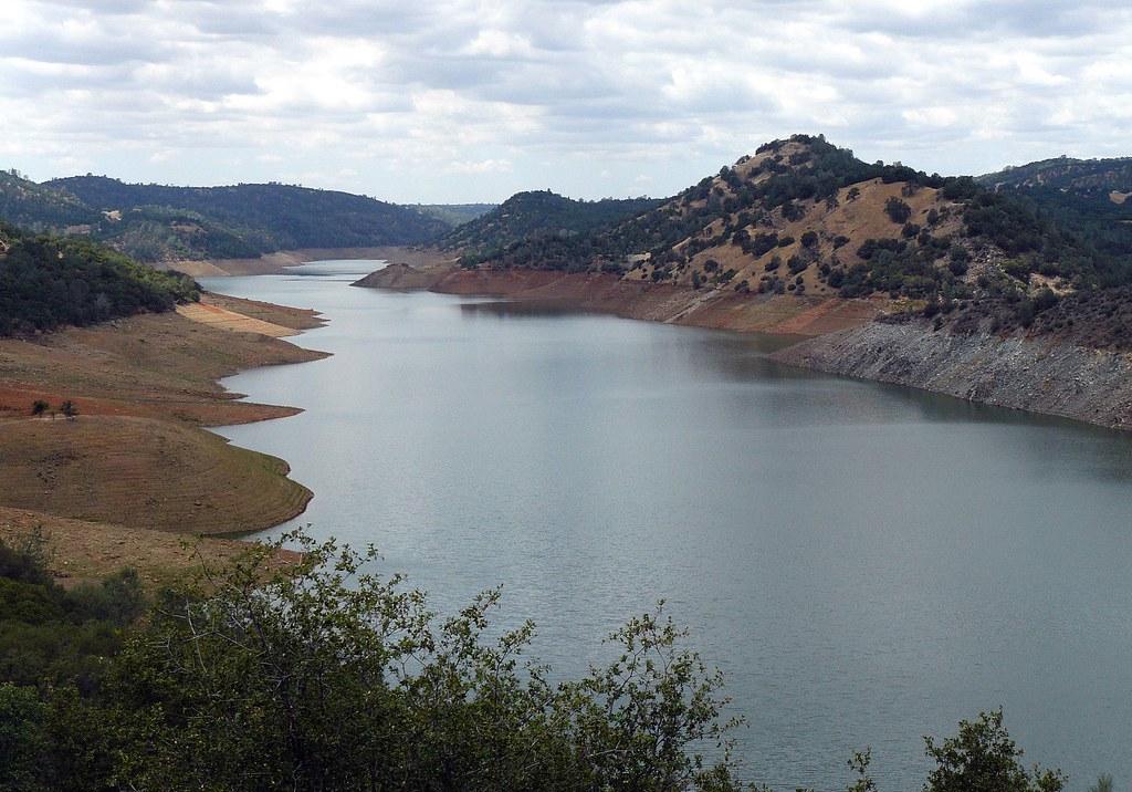
 The northern portion of Don Pedro Reservoir in Tuolumne County at low water courtesy of Famartin↗ (CC BY-SA 4.0↗)
 A side arm of Don Pedro Reservoir on the Tuolumne River, with the drawdown ring exposed above the wa courtesy of docentjoyce↗ (CC BY 2.0↗)
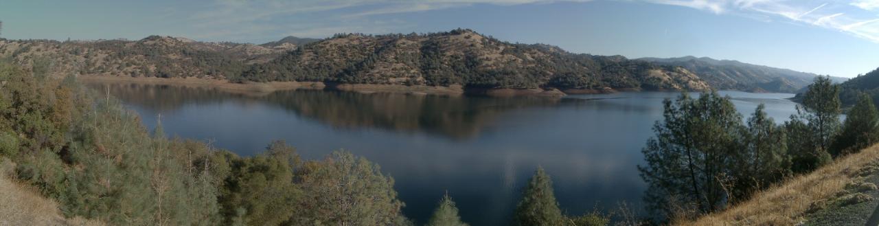
 Water level panorama across Don Pedro Reservoir courtesy of No machine-readable author provided. Luzian~commonswiki assumed (based on copyright claims).↗ (CC BY 2.5↗)
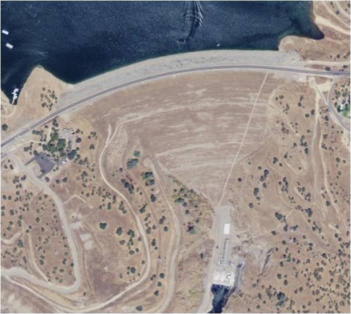
 New Don Pedro Dam, which impounds the reservoir beside the Fleming Meadows recreation area courtesy of USGS↗ (Public domain↗)
Other Swimming Holes, Hiking Trails, and Kayaking Areas Nearby
Briceburg Recreation Area
Midpines, California
24.4 miles EBriceburg is where State Route 140 drops out of the Sierra foothills and meets the Wild and Scenic Merced River, twelve miles east of Mariposa on the road to Yosemite, and it's one of the best public...
Camp, Kayak, Swim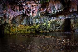
Natural Bridges
Sonora, California
24.6 miles NA free 250-foot limestone cavern on Coyote Creek near Sonora where you can float or swim through deep pools in summer — just avoid touching the limestone walls.
Hike, Swim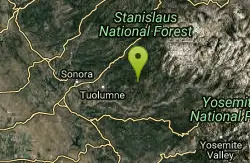
Gods Bath
Phoenix Lake-Cedar Ridge, CA, California
27.7 miles NECrystal-clear but cold water at the bottom of a boulder-hop, rope-assisted descent into Clavey River canyon — cliff jumping, smaller pools on the way, about a mile one way.
Hike, Swim
Hite Cove Trail
El Portal, California
28.9 miles EOne of Yosemite's earliest wildflower blooms lights up the Hite Cove Trail in spring, with the added bonus of watching the South and Central Fork Merced rivers merge.
Hike, Swim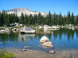
Crane Flat
Big Oak Flat, Yosemite National Park
33.5 miles EFramed between two giant sequoia groves, Crane Flat meadow is a quiet Yosemite base camp for birding, stargazing, and seasonal hikes to Lukens and Harden Lake.
Backpack, Camp, Hike, Snowshoe 2.3 mi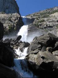
Wapama Falls
Groveland, California
38.0 miles NEA 5-mile moderate hike along the Hetch Hetchy reservoir in Yosemite to 1,000-foot Wapama Falls — cross a dam, walk through a tunnel, and prepare to get sprayed by the mist at the bridge below.
Backpack, Hike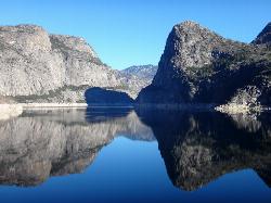
Hetch Hetchy Reservoir
Groveland, California
38.2 miles NEHetch Hetchy's longest hiking season in Yosemite leads across the O'Shaughnessy Dam to Wapama Falls, where you're nearly guaranteed to get sprayed — plus day hikes to Smith Peak at 7,751 feet.
Backpack, Hike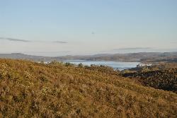
New Hogan Lake
Valley Springs, California
39.6 miles NWNew Hogan Lake is a 4,400-acre reservoir tucked into the golden Sierra Nevada foothills of Calaveras County, California, about 30 miles northeast of Stockton near the little town of Valley Springs....
Backpack, Camp, Hike, Swim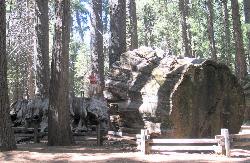
Calaveras Big Trees State Park
Arnold, California
40.3 miles NTwo groves of towering Giant Sequoias — about 100 trees in the North Grove and 1,000 in the South Grove — with boardwalk trails, a famous 24-foot stump you can walk on, and great spring hiking in Northern California gold country.
Hike 0.2 mi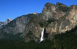
Bridalveil Falls
Yosemite Valley, Yosemite National Park
41.7 miles EA 620-foot waterfall that flows year-round and soaks onlookers with mist — Bridalveil Falls is just a quick half-mile paved walk from the trailhead, wheelchair accessible and pet friendly.
Hike 0.2 mi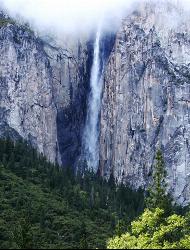
Ribbon Falls
Yosemite Valley, Yosemite National Park
42.0 miles EThe longest single-drop waterfall in North America at 1,612 feet — seasonal and best seen in late morning when the sun hits it directly, visible from El Capitan Road as you enter Yosemite Valley.
Hike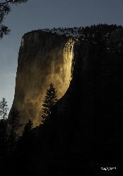
Horsetail Falls
Yosemite Valley, Yosemite National Park
42.7 miles EFor a few weeks in mid-to-late February, Horsetail Falls glows orange with reflected sunset light — a rare 'firefall' phenomenon requiring clear skies and a parking permit.
Hike 0.5 mi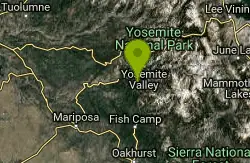
McGurk Meadow
Yosemite National Park
42.8 miles EA flat, 0.8-mile walk through one of Yosemite's most secluded wildflower meadows, complete with a brook and a historic 1800s cabin — few visitors, pure charm.
Hike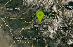
Harden Lake
Big Oak Flat, Yosemite National Park
43.1 miles EA long but gentle 5.8-mile walk down old Tioga Road through granite domes and red fir forest to a serene lake ringed by wildflowers — with optional extension to the Grand Canyon of the Tuolumne.
Backpack, Hike 2.5 mi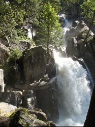
Chilnualna Falls
Wowana, Yosemite National Park
43.3 miles EAn 8-mile round-trip hike in Yosemite to a lesser-known waterfall that passes through several forests and offers spring mist and creek crossings — horses and hikers share the trail.
Hike 15.9 mi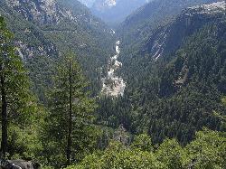
Valley Loop Trail
Yosemite Valley, Yosemite National Park
43.9 miles EAn 11.5-mile loop trail through the heart of Yosemite Valley following the Merced River past wildflower meadows, the Three Brothers, El Capitan, and Bridalveil Falls — with nearly no elevation gain.
Hike 1.2 mi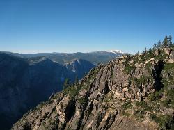
Taft Point
Yosemite Valley, Yosemite National Park
44.0 miles EA 5-mile Yosemite loop pairing Sentinel Dome with Taft Point, offering El Capitan views, dramatic cliff fissures, and 3,000-foot valley vistas — no guard rails, so watch your footing.
Hike 0.8 mi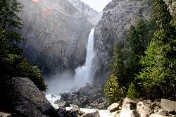
Lower Yosemite Falls
Yosemite Valley, Yosemite National Park
44.5 miles EA short, flat walk to the base of a 3,967-foot waterfall — twice the height of the Empire State Building and one of North America's tallest, best visited in spring or early summer before it dries.
Hike 0.7 mi
Lukens Lake
Tuolumne Meadows, Yosemite National Park
44.6 miles EA short 1.6-mile forest walk to a secluded lake famous for the luminescent shooting stars visible while you swim, plus a wildflower meadow that peaks in July.
Hike, Swim 0.7 mi
Cook's Meadow Loop
Yosemite Valley, Yosemite National Park
44.7 miles EA nearly 1-mile, nearly flat loop in Sentinel Meadow with close-up views of Yosemite Falls, Half Dome, Glacier Point, and Sentinel Rock — Yosemite's best easy walk.
HikeNearby Campsites
Briceburg Recreation Area
Midpines, California
24.4 miles EBriceburg is where State Route 140 drops out of the Sierra foothills and meets the Wild and Scenic Merced River, twelve miles east of Mariposa on the road to Yosemite, and it's one of the best public...
Camp, Kayak, Swim
Crane Flat
Big Oak Flat, Yosemite National Park
33.5 miles EFramed between two giant sequoia groves, Crane Flat meadow is a quiet Yosemite base camp for birding, stargazing, and seasonal hikes to Lukens and Harden Lake.
Backpack, Camp, Hike, Snowshoe
New Hogan Lake
Valley Springs, California
39.6 miles NWNew Hogan Lake is a 4,400-acre reservoir tucked into the golden Sierra Nevada foothills of Calaveras County, California, about 30 miles northeast of Stockton near the little town of Valley Springs....
Backpack, Camp, Hike, Swim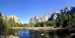
Merced River
Yosemite Valley, Yosemite National Park
45.2 miles EThe Merced River circles Yosemite Valley with whitewater, swimming holes, gold-panning spots, and unbeatable views of Yosemite Falls and Glacier Point at every bend.
Camp, Swim, Whitewater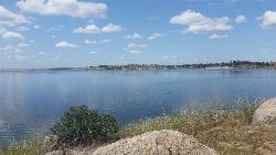
Hensley Lake Recreation Area
Raymond
49.8 miles SEThe designated swim beach on Hensley Lake, a Corps of Engineers reservoir near Raymond, sits in a sandy cove at the Buck Ridge Recreation Area. Day use is $10 per vehicle.
Camp, Hike, Kayak, Swim


