


11 Hiking Trails near Suffield, CT
first prev 1 next lastShowing Hiking Trails within 50 miles Distance miles of Suffield, CT, USA City, Zip, or Address
Metacomet Trail
East Granby, Connecticut
3.6 miles SWA 62.7-mile Blue-Blazed trail along Connecticut's Metacomet Ridge — part of the New England National Scenic Trail — open to hikers, backpackers, bikers, horseback riders, and in winter, snowshoers.
Hike, Mountain Bike
Windsor Locks Canal Trail
Suffield, Connecticut
5.0 miles EA 4.5-mile towpath trail along a 170-year-old historic canal with scenic vistas of both the Connecticut River and the old waterway itself.
Hike, Mountain Bike
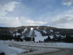
Mohawk Mountain State Park
Cornwall, Connecticut
33.0 miles WA 15-mile backcountry route of logging roads and singletrack climbing to the top of Mohawk Mountain, with trail junctions, river sections, and cross-country ski terrain.
Cross-country Ski, Hike, Mountain Bike
Lake Mansfield Beach
Great Barrington
37.1 miles NWGreat Barrington's free town beach on 29-acre Lake Mansfield, a short walk from downtown, with a sandy swim area, seasonal lifeguards, a picnic lawn and playground, and conservation forest trails.
Canoe, Hike, Kayak, Swim
Hop Brook Lake
Middlebury
37.9 miles SWA free Army Corps of Engineers lake behind Hop Brook Dam in Middlebury, with a small swimming beach, seven miles of trails and a paddling pool closed to motorboats. The beach runs a short summer season and has been shut by bacteria and cyanobacteria in pa
Canoe, Hike, Kayak, Swim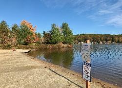
Lake Wyola State Park
Shutesbury
37.9 miles NDCR's Carroll A. Holmes Recreation Area has a lifeguarded sand beach on the northwest shore of quiet Lake Wyola in Shutesbury, with a seasonal $8 (MA) or $30 (out-of-state) parking fee.
Canoe, Hike, Kayak, Swim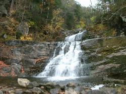
Kent Falls State Park
Kent, Connecticut
39.8 miles WA scenic waterfall park in Kent, Connecticut where the lot fills fast on summer weekends — arrive early; the park closes to new visitors once the lot reaches capacity.
Hike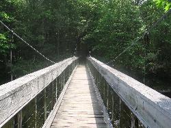
Steep Rock
Washington, Connecticut
43.2 miles SWA fun mix of 4x4 singletrack, forest trail, and powerline downhills winding from Judd's Bridge to Steep Rock's pinnacle, with great views and a rough but exciting descent.
Hike, Mountain Bike
Burbank Park Beach
Pittsfield
44.2 miles NWPittsfield's free public swimming beach on Onota Lake, inside Burbank Park on Lakeway Drive, with a bath house, boat launch and lakeside path. Lifeguards are not hired every season, so check before you swim.
Canoe, Hike, Kayak, Swim
Coes Pond Beach
Worcester
47.5 miles EWorcester's lifeguarded city beach on Coes Reservoir, officially the John J. Binienda Memorial Beach, with a bathhouse, free summer kayak and paddleboard loans, and trails around the pond. No admission fee.
Canoe, Hike, Kayak, Swim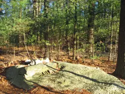
Jerimoth Hill
Foster, Rhode Island
48.5 miles ERhode Island's highest point at 812 feet — a large summit rock just 200 yards and a 5-minute walk from the road, surrounded by scenic lakes and verdant trees in Foster.
Hike


