


Horseshoe Lake Park
Woodland
Canoe, Kayak, and Swim
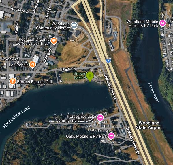
Horseshoe Lake Park is the City of Woodland's largest developed park, about 6.5 acres of lawn, shade trees and picnic shelters on the north bank of Horseshoe Lake, maintained by the city's Public Works department. The lake is a roughly 80-acre oxbow that used to be a bend of the Lewis River. It was cut off from the river when work began in 1940 on the dike and the bridges that now carry Interstate 5 across the Lewis. Today it sits right against Woodland's old downtown in Cowlitz County, so the swim beach is a short walk from Davidson Avenue's shops and cafes.
From Interstate 5, take exit 21 into Woodland and head toward the old town center. The park runs along Park Road and Goerig Street on the lake's north side. There is parking near the concrete boat ramp at the west end and more along the park, and every lot is a short walk across the grass to the water. No hiking is involved, and the paved path that loops through the park makes the beach reachable with a stroller or wagon.
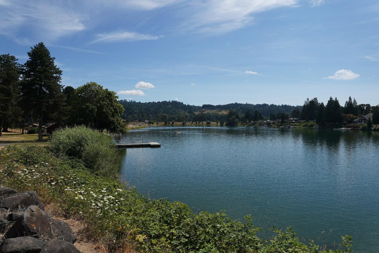
The city states that Horseshoe Lake is open for swimming, with no lifeguard on duty. Two small patches of sand line the north shore inside the park. The larger one is at the east end, below the Rolling Freedom Skate Park and close to a restroom building, and that is where this listing's pin sits. A shorter strip of sand lies west of the boat ramp near the picnic tables. The whole lake is a no-wake zone, there is no river current, and the water is sheltered from wind by houses and trees, so it warms up well by midsummer. Swimmers share it with anglers, canoes, kayaks and paddleboards, and a small floating dock sits off the middle of the park shoreline. The city does not publish depths for the swim area, so check the bottom before jumping in.
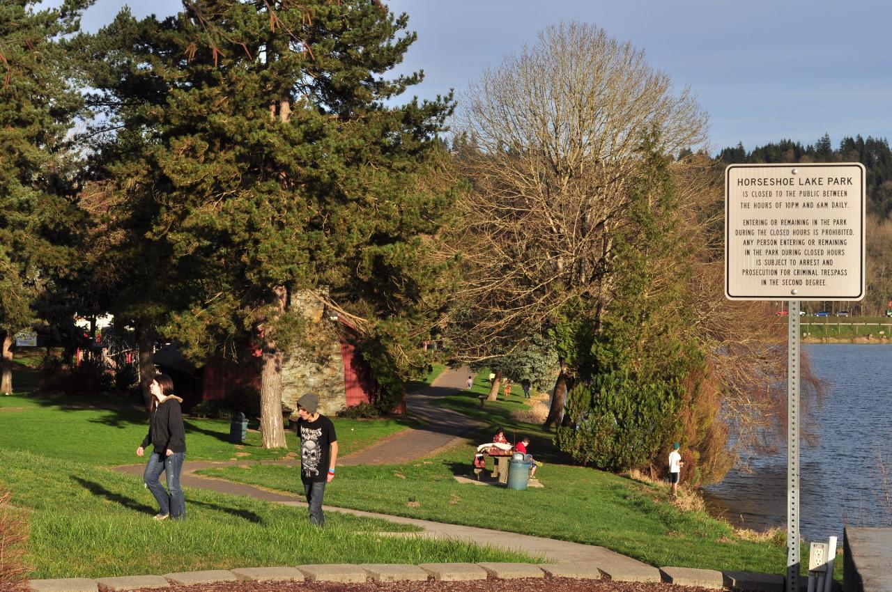
The city does not list any entry or parking fee for the park, so swimming here is free. A posted sign at the park says it is closed to the public from 10 PM to 6 AM daily, and the city notes that restroom hours are restricted. Two hazards are specific to this lake. First, there is no lifeguard, swimmers have drowned here, and Clark-Cowlitz Fire Rescue urges everyone to wear a life jacket, even on inner tubes and floats. Second, the lake has a long history of heavy summer algae. Woodland samples the water near buoy 2, beside the swim area, for E. coli, phosphorus and chlorophyll from May through September and posts the numbers on its Horseshoe Lake Test Results page. Look at the latest results before a late-summer swim, and stay out of water that looks green, scummy or smells bad.
The park has covered picnic shelters, a gazebo, playgrounds, a horseshoe pit, open lawn for games and the skate park, with Hoffmann Memorial Plaza next door. It is busiest during Planter's Days, Woodland's four-day festival that dates to 1922, when amusement rides set up on the lawn, and during the city's annual fish derby. Anglers work the long park shoreline for rainbow and brown trout, some of them large holdovers, and for largemouth bass.
More Information

- Plan Ahead and Prepare
- Travel & camp on durable surfaces
- Dispose of waste properly
- Leave what you find
- Minimize campfire impacts
- Respect wildlife
- Be considerate of other visitors
Directions
From Woodland
- Head north on 1st St toward Court St (98 ft)
- Turn left onto Court St (446 ft)
- Turn right onto College St (0.9 mi)
- Turn left onto Kentucky Ave (0.5 mi)
- Turn right onto West St (0.7 mi)
- Continue onto Co Rd 99 (0.1 mi)
- Turn left to merge onto I-5 N toward ReddingPassing through OregonEntering Washington(586 mi)
- Take exit 21 for WA-503 E toward Woodland/
Cougar (0.2 mi) - Turn left onto WA-503 N/
Lewis River Rd Continue to follow Lewis River Rd(0.2 mi) - Merge onto Goerig St (92 ft)
- Turn left onto Lakeshore Dr (0.2 mi)
- Turn right onto Park Rd (190 ft)
- Turn left (108 ft)
 Horseshoe Lake from the north shore near Goerig Street, with the park lawn and floating dock on the courtesy of Steven Baltakatei Sandoval↗ (CC BY-SA 4.0↗)
 The paved path and lawn at Horseshoe Lake Park, with the posted park hours sign and the lake on the courtesy of Joe Mabel↗ (CC BY 3.0↗)
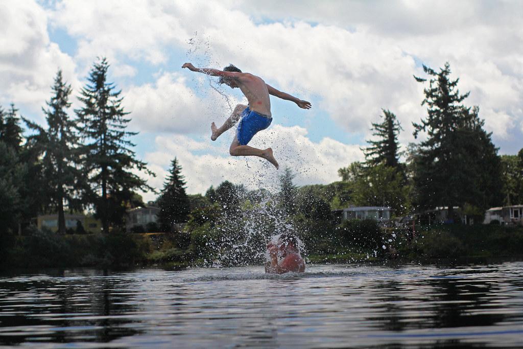
 Swimmers jumping into Horseshoe Lake on a summer afternoon. courtesy of return the sun↗ (CC BY 2.0↗)
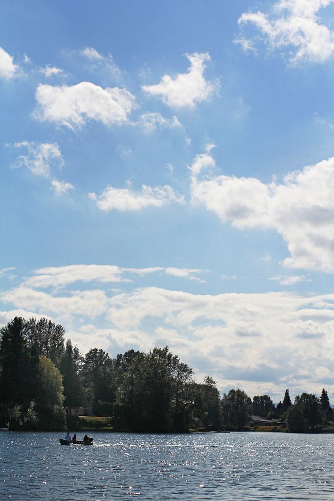
 A small boat out on Horseshoe Lake under summer clouds. courtesy of return the sun↗ (CC BY 2.0↗)

Other Swimming Holes, Canoeing Areas, and Kayaking Areas Nearby
Daybreak Regional Park
Battle Ground, Washington
9.6 miles SEA day-use park on the Lewis River with a boat launch, 15 picnic spots, a playground, and easy river access for fishing, skipping rocks, or wading — open 7 am to dusk.
Hike, Swim
Battle Ground Area
Battle Ground, Washington
9.6 miles SESwim near Battle Ground, Washington
Swim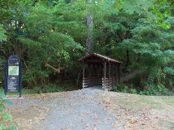
Lewisville Regional Park
Battle Ground, Washington
11.3 miles SEThe Lewis River borders this family park, offering swimming with a caution for swift currents, alongside a 2.8-mile wooded trail, sports courts, fishing, and a boat launch.
Swim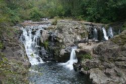
Moulton Falls County Park
Yacolt, Washington
17.7 miles EA 387-acre park with two majestic waterfalls, volcanic rock formations, a historic swing bridge, and the 8.1-mile Bells Mountain Trail — swimming allowed with caution (no jumping from the bridge).
Hike, Swim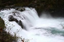
Sunset Falls Campground
Yacolt, Washington
24.3 miles EA majestic waterfall that drains into a large, deepening pool — just a 0.1-mile hike from the trailhead, with large smooth rocks perfect for sunbathing and picnicking beside the falls.
Camp, Hike, Swim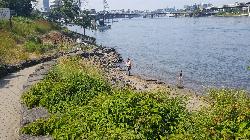
Poet's Beach
Portland
27.5 miles SA hundred-yard strip of imported sand under the Marquam Bridge piers in downtown Portland, reached by a stone path engraved with children's poems and Chinuk Wawa. No fee, no lifeguards since the 2017 pilot, no facilities, and swimmable water roughly July
Canoe, Hike, Kayak, Swim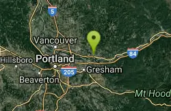
Washougal Area
Royal City, Washington
28.2 miles SESwim near Royal City, Washington
Swim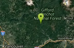
Wind River Area
Bellingham, Washington
36.7 miles EA hot springs and cold falls combination in the Columbia River Gorge area of southern Washington — two distinct natural features not far from each other for a scenic double-header.
Swim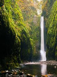
Oneonta Gorge
Cascade Locks, Oregon
39.0 miles SEA mossy, fern-draped slot canyon in the Columbia Gorge — no trail, chest-deep cold water, log jams to climb, and loose river rock underfoot — Oneonta Gorge is an unforgettable adventure.
Hike, Swim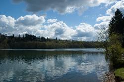
Ike Kinswa State Park Swim Area
Silver Creek
46.6 miles NA marked swim area at the Ike Kinswa State Park day-use beach on the Tilton River arm of Mayfield Lake near Silver Creek, Washington. Open 8 a.m. to dusk; a Discover Pass ($10/day) is required.
Camp, Canoe, Hike, Kayak, SwimNearby Campsites
Sunset Falls Campground
Yacolt, Washington
24.3 miles EA majestic waterfall that drains into a large, deepening pool — just a 0.1-mile hike from the trailhead, with large smooth rocks perfect for sunbathing and picnicking beside the falls.
Camp, Hike, Swim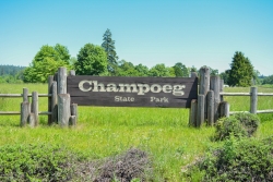
Champoeg State Park
Saint Paul, Oregon
45.7 miles SA historic pioneer park on the Willamette River with camping, boating, fishing, hiking, trail running, biking, disc golf, summer amphitheater concerts, and yurts and cabins to stay the night.
Camp, Disc Golf, Hike, Mountain Bike
Ike Kinswa State Park Swim Area
Silver Creek
46.6 miles NA marked swim area at the Ike Kinswa State Park day-use beach on the Tilton River arm of Mayfield Lake near Silver Creek, Washington. Open 8 a.m. to dusk; a Discover Pass ($10/day) is required.
Camp, Canoe, Hike, Kayak, Swim


