


Poet's Beach
Portland
Canoe, Hike, Kayak, and Swim
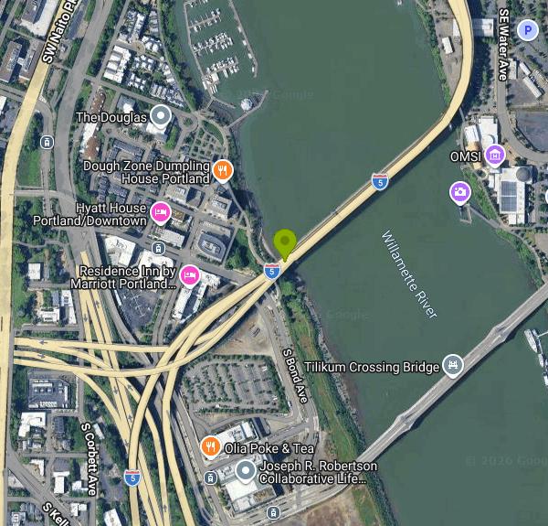
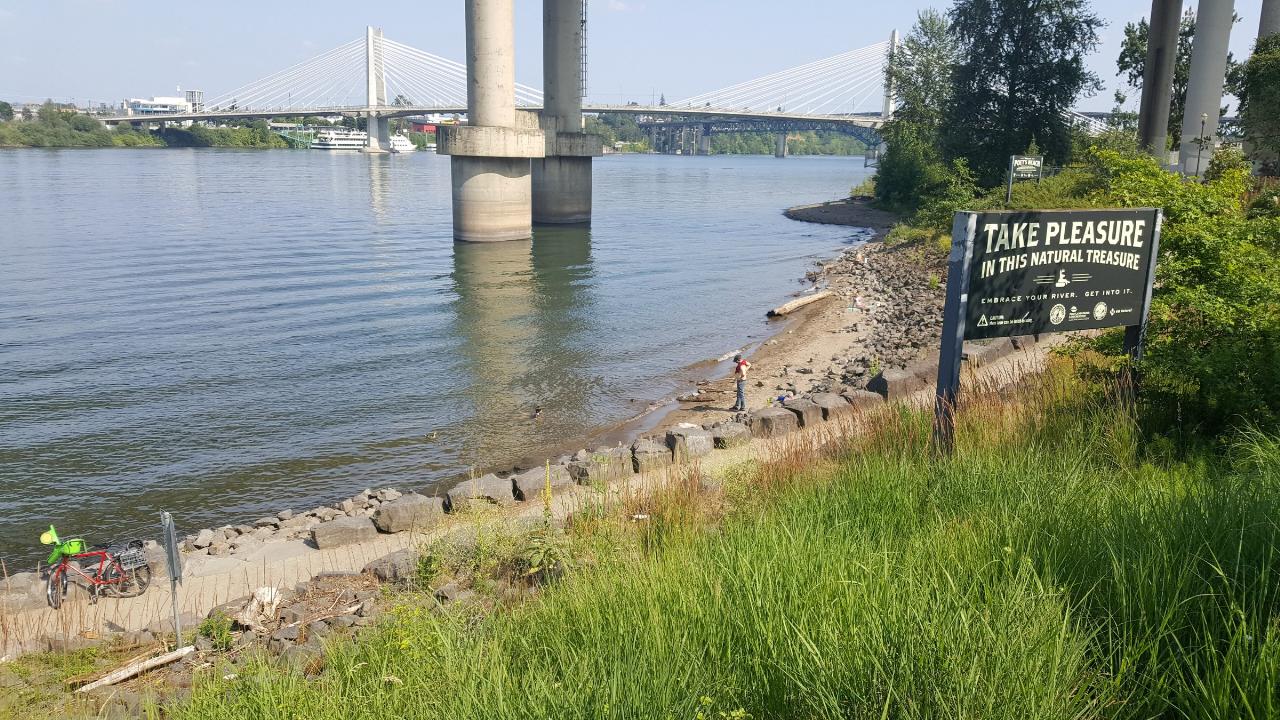
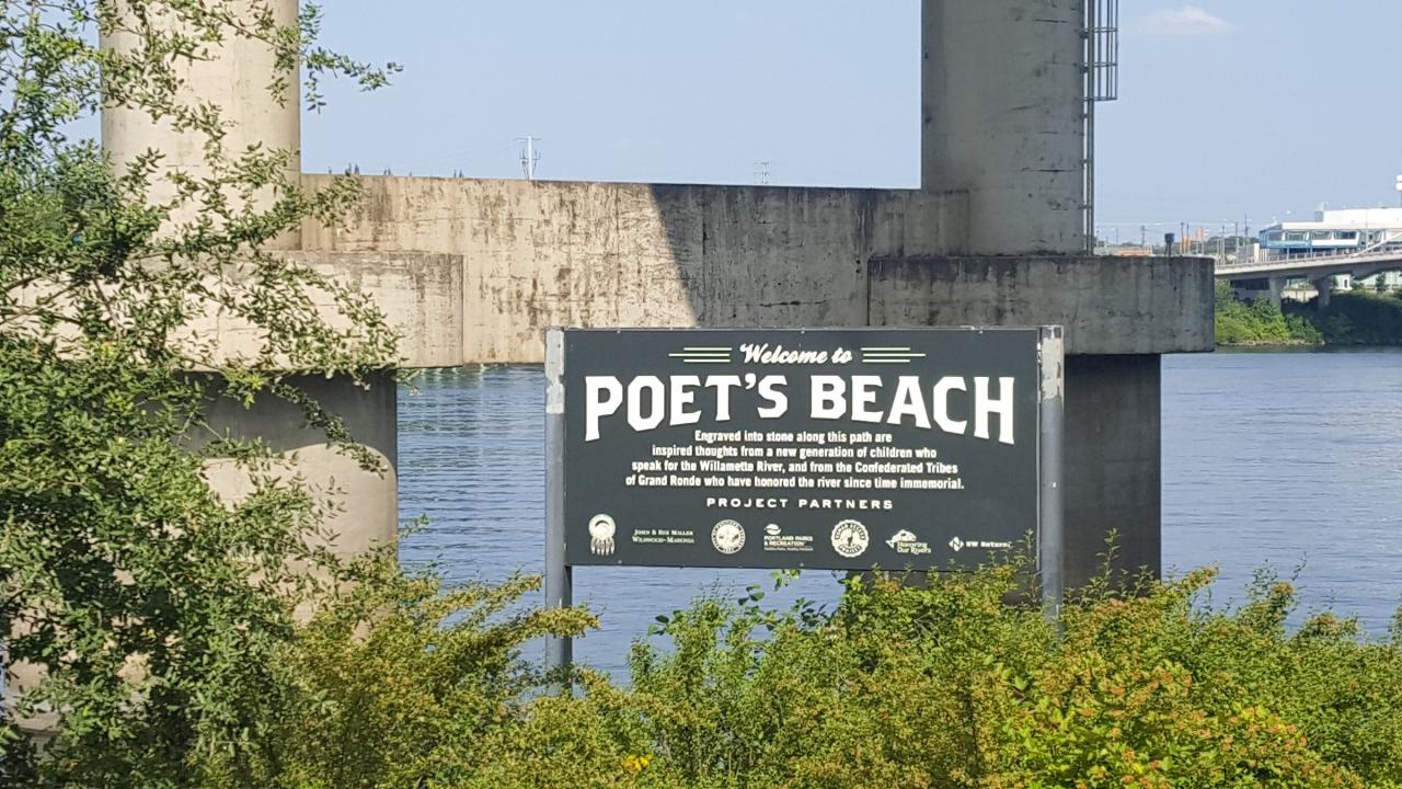
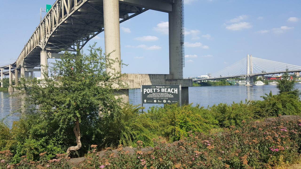
Poet's Beach is a thin crescent of imported sand on the west bank of the Willamette River in downtown Portland, sitting directly beneath the concrete piers of the Marquam Bridge that carry Interstate 5 across the water. It is reached from the South Waterfront Park Trail a few hundred feet south of RiverPlace Marina, and runs only about a hundred yards, pinched between stacked basalt riprap and the waterline. OpenStreetMap maps the sand as a strip only about fifteen feet deep at average river level.
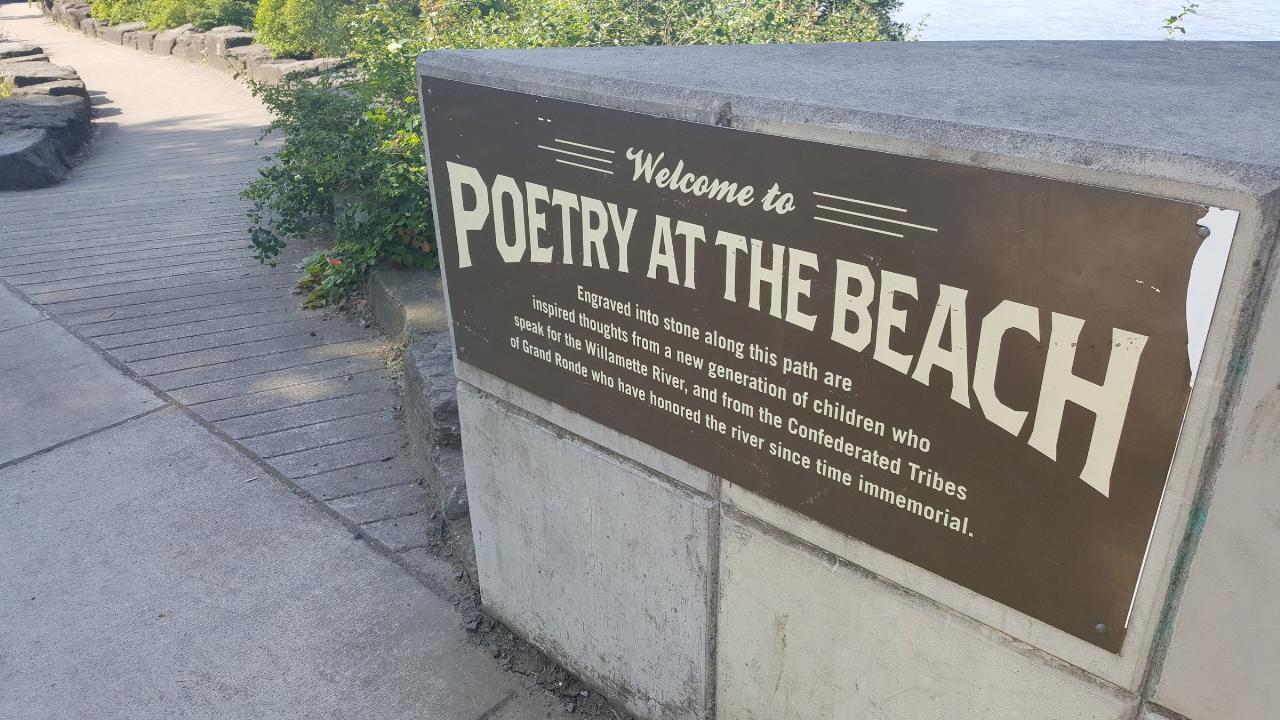
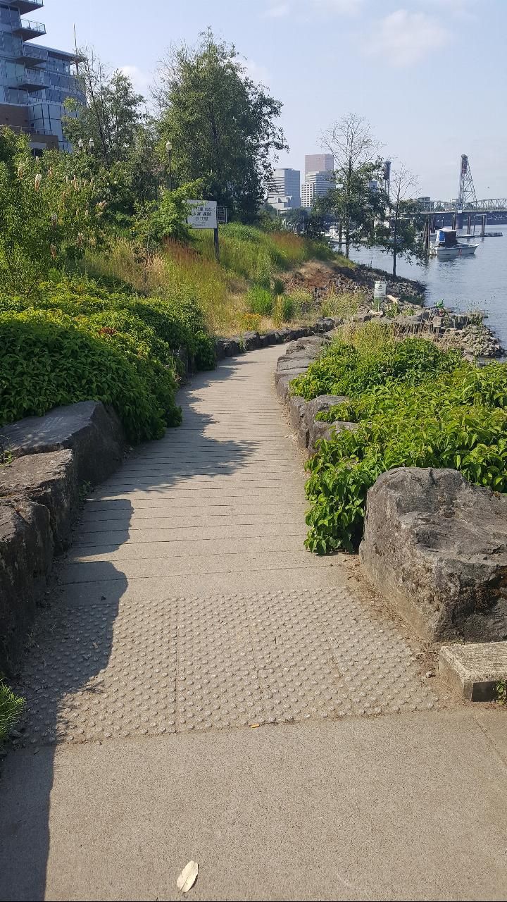
The name comes from the approach. A stone-lined path drops through a notch cut in the basalt, and the stones along it carry thirty engraved excerpts of children's poetry about the Willamette, collected by the Honoring our Rivers project, interleaved with Chinuk Wawa words, phonetics and translations contributed by the Confederated Tribes of Grand Ronde. A sign at the top reads "Welcome to Poetry at the Beach." A kayak launch existed here from 2000 but had no signage and no real way down. The volunteer Human Access Project raised money and pulled permits starting in 2014, cut the rock, and added the art and signs, holding a staged opening that July.
The lifeguard question matters here because most write-ups get it wrong. Portland ran a 178,000 dollar pilot in 2017, its first pop-up beach, with lifeguards contracted through American Medical Response and loaner life jackets, and Mayor Ted Wheeler swam at the opening on July 13 that year. The pilot ended September 4, 2017 and was not repeated. The 2018 season, July 12 through August 26, ran without lifeguards, without picnic tables and without portable toilets. Portland Parks and Recreation now lists the site as a natural area, states plainly that there are no lifeguards on duty and that beach users swim at their own risk, and notes that no further improvements or maintenance are planned. Nothing is staffed and no season is posted. Access follows park hours of 5:00 a.m. to midnight.
There is no fee to use the beach. Parking is the cost. The beach falls in the city's Downtown parking district, where metered street parking runs 3 dollars 20 cents an hour from 8:00 a.m. to 7:00 p.m. Monday through Saturday and 1:00 p.m. to 7:00 p.m. on Sunday. Street spaces along SW River Parkway are few, garages nearby are plentiful, and most people arrive on foot or by bike along the esplanade. There are no facilities at the beach: no water, no tables, no toilets. The nearest permanent restrooms are at the South Waterfront Park Garden, a few minutes north. Dogs are allowed on leash.
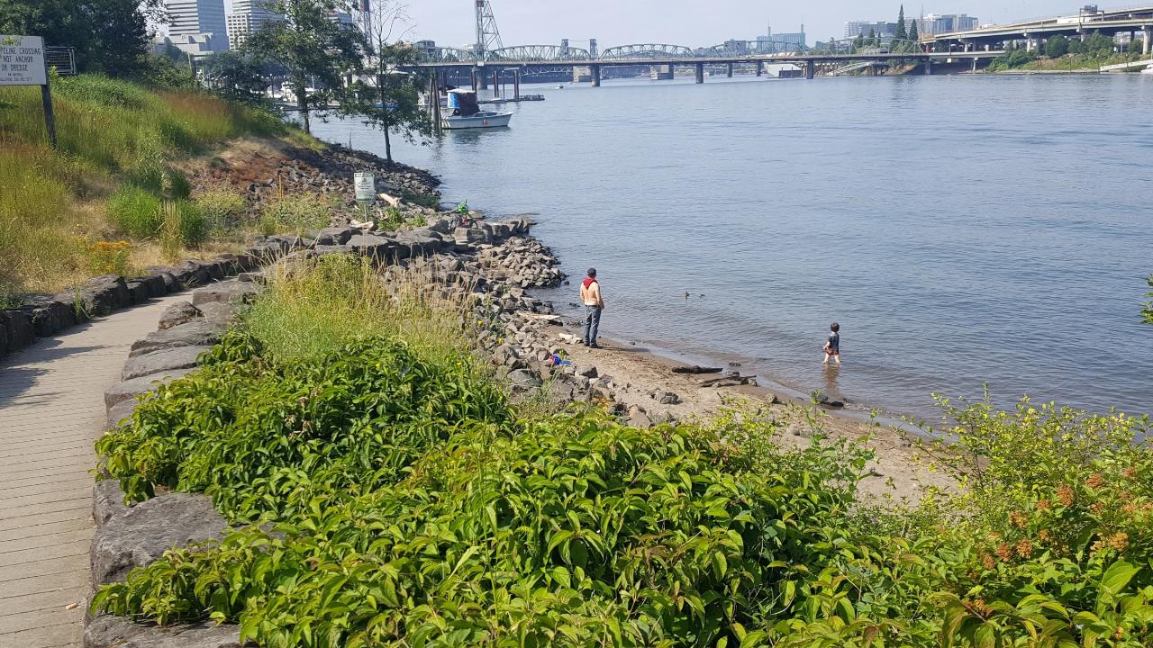
Swimmable water is roughly July into September, when the river typically sits between 68 and 72 degrees. In May and June the air can hit the eighties while the river is still in the fifties, and temperatures drop fast again after August. The specific hazards are the bridge and the boat traffic. Marquam Bridge piers stand in the water just off the sand and throw current seams around themselves, and RiverPlace Marina and its ramp sit immediately upstream, so powerboats and jet skis pass close all summer. Outside the sand the bottom is cobble and broken basalt, so water shoes are worth wearing, and the bank drops off fast. Portland Parks rates river swimming here as needing intermediate to advanced ability, about a half mile nonstop.
Water quality improved sharply after the combined sewer overflow program finished in November 2011. Environmental Services runs Check the Rec from late May through September with results posted each Friday, though Poet's Beach is not itself a sampling point. The nearest weekly-tested site is the RiverPlace Marina boat dock at river mile 13.2, a short walk north. Oregon DEQ considers the Willamette here safe to swim most of the year, advises staying out after heavy rain, and says to avoid water that looks bright green or scummy.
More Information
Check the Rec: Willamette River Water Quality Testing | Portland.gov
Planning to swim, paddle, or play in the Willamette River? Environmental Services tests the river for bacteria counts and posts the results here. The river is generally safe for swimming and recreation, thanks to decades of infrastructure investments like the Big Pipe Project. Check for yourself.
https://www.portland.gov/bes/check-recDepartment of Environmental Quality : Is it Safe to Swim on the Willamette River in Portland? : Wate
Is it Safe to Swim on the Willamette River in Portland?
https://www.oregon.gov/deq/wq/Pages/Swimming-on-the-Willamette.aspxJoin the First Splash at Poet’s Beach on July 13; see the Mayor swim! | Portland.gov
Portland's first downtown river swimming beach opens
https://www.portland.gov/parks/news/2017/7/7/join-first-splash-poets-beach-july-13-see-mayor-swimPoet's Beach - Wikipedia
Poet's Beach is an urban beach along the Willamette River, near Portland, Oregon's Marquam Bridge, in the United States.[1]
https://en.wikipedia.org/wiki/Poet%27s_BeachPoet's Beach | Portland.gov
Poet’s Beach is accessible to the extent feasible to get to the beach and consistent with the preservation of the beach’s natural features. Swim at your own risk. No further improvements or maintenance are planned for Poet’s Beach at this time.
https://www.portland.gov/parks/poets-beachPoet’s Beach reopens for 2018 summer on July 12 | Portland.gov
Opening Day: join us as children read poetry, Confederated Tribes of Grand Ronde hold a blessing ceremony, and more
https://www.portland.gov/parks/news/2018/7/9/poets-beach-reopens-2018-summer-july-12Public Parking in Portland | Portland.gov
The Portland Bureau of Transportation (PBOT) manages most parking on public streets in the city as well as the downtown SmartPark garages. How much does parking cost? How do you pay? Meter districts, maps, what to do if you get a ticket, and other parking questions.
https://www.portland.gov/transportation/parking/parking-guideSwimming in Portland's Rivers | Portland.gov
Portland Parks & Recreation has several parks and recreation facilities that have direct access to the river and water. This page offers guidance for Portland residents on swimming in Portland rivers. This page is developed in partnership with the Human Access Project.
https://www.portland.gov/parks/guide-swimming-portland-riversWay: Poet's Beach (471680419) | OpenStreetMap
OpenStreetMap is a map of the world, created by people like you and free to use under an open license.
https://www.openstreetmap.org/way/471680419Willamette River Recreation Season Is Back. So Is Check the Rec | Portland.gov
From late May through September, Environmental Services tests water quality weekly at five popular Willamette River recreation locations and shares the results every Friday. The first results of the season will be posted on May 22.
https://www.portland.gov/bes/news/2026/5/20/willamette-river-recreation-season-back-so-check-recBe courteous, informed, and prepared. Read trailhead guidelines, stay on the trail, and don't feed the wildlife.
Read More
- Plan Ahead and Prepare
- Travel & camp on durable surfaces
- Dispose of waste properly
- Leave what you find
- Minimize campfire impacts
- Respect wildlife
- Be considerate of other visitors
Directions
From Portland
- Head north on SW 4th Ave toward SW Main St (0.1 mi)
- Turn right onto SW Salmon St (0.2 mi)
- Turn right onto SW Naito Pkwy/
Pacific Hwy W (0.9 mi) - Keep right to continue on US-26 E (0.3 mi)
- Take the exit toward SW Macadam Ave (0.1 mi)
- Turn left onto S Gibbs St (236 ft)
- Turn right onto S Hood Ave (0.2 mi)
- Keep right to stay on S Hood Ave (0.3 mi)
- Turn left toward S Macadam Ave (144 ft)
- Turn left onto S Macadam Ave (0.5 mi)
- Slight left to merge onto I-5 N toward I-84 E/
Seattle (0.6 mi)
 Waders on the sand strip at Poet's Beach, with downtown bridges downstream courtesy of Another Believer↗ (CC BY-SA 4.0↗)
 Marquam Bridge piers standing in the water off the beach, Tilikum Crossing beyond courtesy of Another Believer↗ (CC BY-SA 4.0↗)
 The Welcome to Poet's Beach sign below the Marquam Bridge courtesy of Another Believer↗ (CC BY-SA 4.0↗)
 The Poetry at the Beach marker at the top of the stone-lined path courtesy of Another Believer↗ (CC BY-SA 4.0↗)
 The paved path dropping through basalt toward the river courtesy of Another Believer↗ (CC BY-SA 4.0↗)
 Looking upstream from the beach at the Marquam Bridge deck and piers courtesy of Another Believer↗ (CC BY-SA 4.0↗)
Other Swimming Holes, Hiking Trails, Canoeing Areas, and Kayaking Areas Nearby
Tryon Park
Portland, Oregon
4.6 miles SA lush 658-acre second-growth forest oasis 15 minutes from downtown Portland — 8 miles of hiking trails, 8 bridges, a wetland boardwalk, and a nature center with programs and guided hikes.
Backpack, Hike, Horseback
Willamette River Trail
Canby, Oregon
15.8 miles SA flat, shaded paved and natural surface trail along the Willamette River in Eugene — a leisurely ride or walk through scenic riverside greenery, ideal for hot days with ample tree cover.
Hike, Mountain Bike
Washougal Area
Royal City, Washington
15.8 miles ESwim near Royal City, Washington
Swim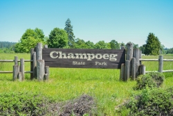
Champoeg State Park
Saint Paul, Oregon
20.8 miles SWA historic pioneer park on the Willamette River with camping, boating, fishing, hiking, trail running, biking, disc golf, summer amphitheater concerts, and yurts and cabins to stay the night.
Camp, Disc Golf, Hike, Mountain Bike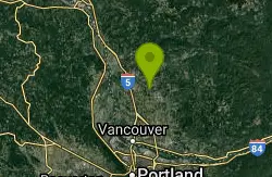
Daybreak Regional Park
Battle Ground, Washington
21.6 miles NA day-use park on the Lewis River with a boat launch, 15 picnic spots, a playground, and easy river access for fishing, skipping rocks, or wading — open 7 am to dusk.
Hike, Swim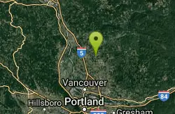
Battle Ground Area
Battle Ground, Washington
21.6 miles NSwim near Battle Ground, Washington
Swim
Lewisville Regional Park
Battle Ground, Washington
22.4 miles NThe Lewis River borders this family park, offering swimming with a caution for swift currents, alongside a 2.8-mile wooded trail, sports courts, fishing, and a boat launch.
Swim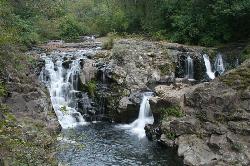
Moulton Falls County Park
Yacolt, Washington
26.3 miles NEA 387-acre park with two majestic waterfalls, volcanic rock formations, a historic swing bridge, and the 8.1-mile Bells Mountain Trail — swimming allowed with caution (no jumping from the bridge).
Hike, Swim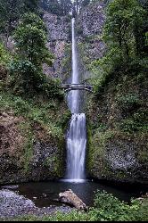
Multnomah Falls
Cascade Locks, Oregon
27.3 miles EMultnomah Falls is Oregon's tallest waterfall — a 620-foot, two-tier showstopper in the Columbia River Gorge with the iconic Benson Bridge.
Hike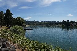
Horseshoe Lake Park
Woodland
27.5 miles NFree city park on Horseshoe Lake, a no-wake Lewis River oxbow in downtown Woodland, with a small sandy swim beach, no lifeguard, and city water testing for summer algae.
Canoe, Kayak, Swim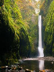
Oneonta Gorge
Cascade Locks, Oregon
29.4 miles EA mossy, fern-draped slot canyon in the Columbia Gorge — no trail, chest-deep cold water, log jams to climb, and loose river rock underfoot — Oneonta Gorge is an unforgettable adventure.
Hike, Swim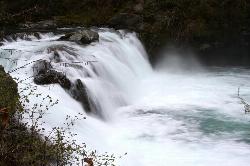
Sunset Falls Campground
Yacolt, Washington
29.5 miles NEA majestic waterfall that drains into a large, deepening pool — just a 0.1-mile hike from the trailhead, with large smooth rocks perfect for sunbathing and picnicking beside the falls.
Camp, Hike, Swim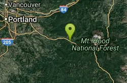
Wildwood Recreation Site
Mount Hood Village, Oregon
34.8 miles EMount Hood's Wild and Scenic Salmon River beckons hikers to wade through a lush forested corridor along the Mount Hood Scenic Byway near Welches.
Hike, Mountain Bike, Swim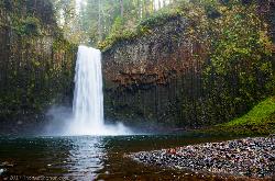
Abiqua Falls
Scotts Mills, Oregon
40.1 miles SA stunning 92-foot basalt waterfall plunging into a mossy bowl — reached by a steep, unmarked rope-guided trail on private land; very slick when wet, not recommended for small children or dogs.
Hike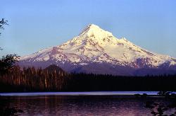
Lost Lake Loop Trail
Cascade Locks, Oregon
41.1 miles ELost Lake is one of the most beautiful and famous mountain lakes in Oregon, a clear, deep-blue lake cradled in old-growth forest in the Mount Hood National Forest, and the Lost Lake Loop, or...
Canoe, Hike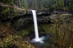
Silver Falls State Park
Sublimity, Oregon
43.5 miles SThe largest state park in Oregon, Silver Falls features 10 spectacular waterfalls along the nationally recognized Trail of Ten Falls — including a walk behind a 177-foot waterfall on a 7.2-mile moderate loop.
Camp, Hike, Horseback, Swim
Wind River Area
Bellingham, Washington
44.1 miles NEA hot springs and cold falls combination in the Columbia River Gorge area of southern Washington — two distinct natural features not far from each other for a scenic double-header.
Swim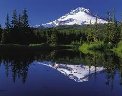
Mirror Lake Trail
Government Camp, Oregon
44.9 miles EA family-friendly 3.2-mile hike through dense forest to Mirror Lake, which perfectly reflects Mount Hood in its still glacial cirque waters — don't forget a camera.
Hike
Ape Cave
Cougar, Washington
47.0 miles NEThe longest lava tube in the continental US at over two miles, carved beneath Mount St. Helens — open year-round for exploring in the Mount St. Helens National Monument south of Cougar, Washington.
Cave, Hike
Bagby Area
Princeton, Oregon
47.9 miles SEA famous natural hot springs and a Clackamas River swimming hole southeast of Portland — two great spots along the same scenic highway, with clothing optional at the springs.
SwimNearby Campsites
Champoeg State Park
Saint Paul, Oregon
20.8 miles SWA historic pioneer park on the Willamette River with camping, boating, fishing, hiking, trail running, biking, disc golf, summer amphitheater concerts, and yurts and cabins to stay the night.
Camp, Disc Golf, Hike, Mountain Bike
Sunset Falls Campground
Yacolt, Washington
29.5 miles NEA majestic waterfall that drains into a large, deepening pool — just a 0.1-mile hike from the trailhead, with large smooth rocks perfect for sunbathing and picnicking beside the falls.
Camp, Hike, Swim
Silver Falls State Park
Sublimity, Oregon
43.5 miles SThe largest state park in Oregon, Silver Falls features 10 spectacular waterfalls along the nationally recognized Trail of Ten Falls — including a walk behind a 177-foot waterfall on a 7.2-mile moderate loop.
Camp, Hike, Horseback, Swim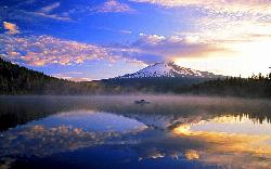
Trillium Lake Day Use Area
Government Camp, Oregon
48.2 miles EA shallow 63 acre lake at 3,600 feet south of Government Camp, with the most photographed reflection of Mount Hood in Oregon and a day use area at the dam.
Camp, Canoe, Hike, Kayak, Swim


