


Oneonta Gorge
Cascade Locks, Oregon
| Address: | E Crown Point Hwy, Cascade Locks, OR 97014, USA |
| GPS: |
45°35'9.3"N 122°4'22.3"W Maps | Directions |
| State: | Oregon |
| Trail Length: | 0.90 miles |
| Trail Type: | Out & Back |
| Hike Difficulty: | Advanced |
Waterfalls Streams Rocks
Hike and Swim
This unique hike is one of the many incredible experiences you can have in Oregon! It is located near Horsetail Falls which is another great hike to add on to this one if you would prefer a more lengthy outdoor excursion. You will definitely want to bring some water sandals and maybe an extra set of clothes for this adventure!
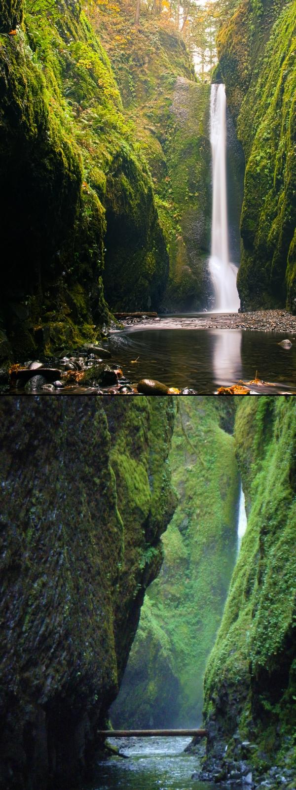
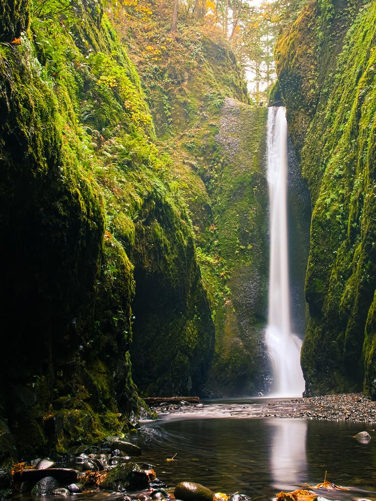
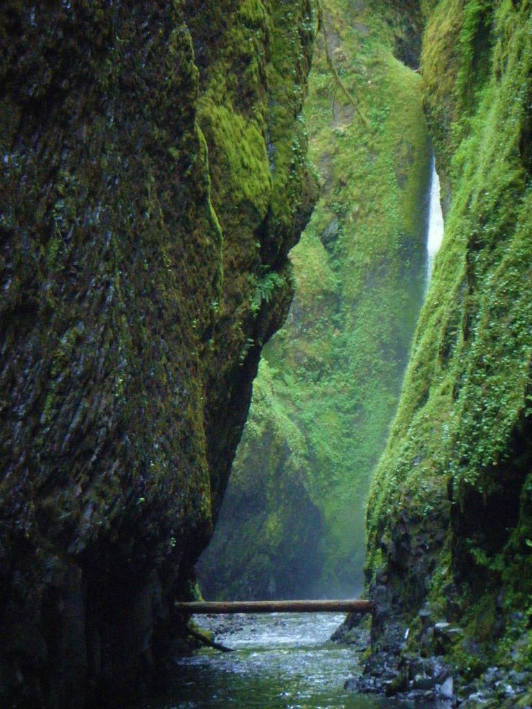
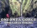
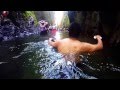
As soon as you reach the "trailhead" you will soon figure out that there isn't a designated trail for this hike. You will be required to climb over a log jam, tread through chest deep water (which can be quite cold at times), and hike through a narrow canyon over loose river rock and smooth pebbles covering the creek bed. Once you are in the gorge and see the moss and lichen covered rock towering above you, you'll feel as if you have gone to another world. There is something so surreal about walking through this mossy, green slot canyon adorned with ferns. It's like looking at a scene from a movie.
This hike is not for the faint of heart due to it being a bit challenging and strenuous. You won't be able to avoid getting wet during this hike and the water is typically fairly chilly!
It is also advised that you don't bring along small children unless you plan on carrying them. This would not be considered a family friendly hike.
NOTE: Depending on the time of year and your height, the water could be deeper or shallower than stated in the description.
TIP: To avoid the crowds, go sometime during the week rather than on the weekends. Going in the morning could also help you to avoid the rush of people who go later in the day when it gets warmer.
More Information
Hiking, Scrambling And Swimming Oregon’s Oneonta Gorge - Gadling
Despite the various nicknames bestowed upon me throughout my 20s (all along the lines of “Hippie,” “Nature Girl” and “Treehugger”), I had a love-hate relationship with hiking the great outdoors. Blame my poor, misguided parents, who made my brother and I undertake many forced marches on summer vacations. We hiked all over California, the Pacific Northwest, the Rockies and even Europe. I know, I know – call Child Protective Services. It is perhaps unsurprising that I rebelled as I grew older. I was quite a sloth in college, despite my love of travel and camping, and not until 2000 did I rekindle my early love affair with walking the woods, deserts and mountains. I was attending a conference in Portland,…
https://gadling.com/2012/08/21/hiking-scrambling-and-swimming-oneonta-gorge-oregon/Oneonta Gorge | Oregon.com
A slot-like chasm with waterfalls About the Hike: Next door to busy Multnomah Falls but usually overlooked by tourists, this delightful trail explores a cavern behind Ponytail Falls and then loops around Oneonta Gorge, a mossy chasm so narrow that Oneonta Creek fills it wall to wall. An optional 1.8-mile side trip leads to Triple Falls, where three plumes of water plunge 120 feet at once.
https://oregon.com/recreation/oneonta-gorgeBe courteous, informed, and prepared. Read trailhead guidelines, stay on the trail, and don't feed the wildlife.
Read More
- Plan Ahead and Prepare
- Travel & camp on durable surfaces
- Dispose of waste properly
- Leave what you find
- Minimize campfire impacts
- Respect wildlife
- Be considerate of other visitors
Directions
From Cascade Locks, Oregon
- Head northeast on US-30/Wa Na Pa St (374 ft)
- Turn right onto SW Cascade Ave (0.1 mi)
- Continue straight onto SW Watts Ave (276 ft)
- Turn right onto SW Benson Ave (203 ft)
- Turn left at the 1st cross street onto US-30/Wa Na Pa St (1.3 mi)
- Merge onto I-84 W/US-30 W (7.6 mi)
- Take exit 35 toward Historic Hwy/Ainsworth State Park (0.1 mi)
- Continue onto Historic Columbia River Hwy (1.8 mi)


Added by katelocke
Other Swimming Holes and Hiking Trails Nearby
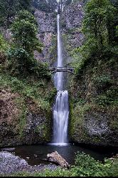
Multnomah Falls
Cascade Locks, Oregon
2.2 miles WMultnomah Falls is Oregon's tallest waterfall — a 620-foot, two-tier showstopper in the Columbia River Gorge with the iconic Benson Bridge.
Hike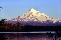
Lost Lake Loop Trail
Cascade Locks, Oregon
13.6 miles SELost Lake is one of the most beautiful and famous mountain lakes in Oregon, a clear, deep-blue lake cradled in old-growth forest in the Mount Hood National Forest, and the Lost Lake Loop, or...
Canoe, Hike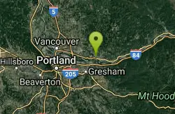
Washougal Area
Royal City, Washington
14.2 miles WSwim near Royal City, Washington
Swim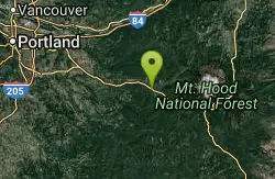
Wildwood Recreation Site
Mount Hood Village, Oregon
16.4 miles SMount Hood's Wild and Scenic Salmon River beckons hikers to wade through a lush forested corridor along the Mount Hood Scenic Byway near Welches.
Hike, Mountain Bike, Swim
Sunset Falls Campground
Yacolt, Washington
18.2 miles NWA majestic waterfall that drains into a large, deepening pool — just a 0.1-mile hike from the trailhead, with large smooth rocks perfect for sunbathing and picnicking beside the falls.
Camp, Hike, Swim
Moulton Falls County Park
Yacolt, Washington
22.8 miles NWA 387-acre park with two majestic waterfalls, volcanic rock formations, a historic swing bridge, and the 8.1-mile Bells Mountain Trail — swimming allowed with caution (no jumping from the bridge).
Hike, Swim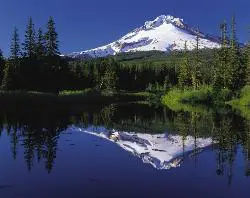
Mirror Lake Trail
Government Camp, Oregon
23.6 miles SEA family-friendly 3.2-mile hike through dense forest to Mirror Lake, which perfectly reflects Mount Hood in its still glacial cirque waters — don't forget a camera.
Hike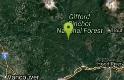
Wind River Area
Bellingham, Washington
23.9 miles NA hot springs and cold falls combination in the Columbia River Gorge area of southern Washington — two distinct natural features not far from each other for a scenic double-header.
Swim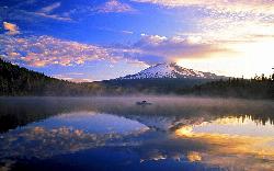
Trillium Lake Day Use Area
Government Camp, Oregon
27.3 miles SEA shallow 63 acre lake at 3,600 feet south of Government Camp, with the most photographed reflection of Mount Hood in Oregon and a day use area at the dam.
Camp, Canoe, Hike, Kayak, Swim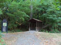
Lewisville Regional Park
Battle Ground, Washington
27.6 miles NWThe Lewis River borders this family park, offering swimming with a caution for swift currents, alongside a 2.8-mile wooded trail, sports courts, fishing, and a boat launch.
Swim
Hood River Waterfront Park Swim Cove
Hood River, Oregon
28.2 miles ESheltered sandy swim cove on the Columbia at Hood River's six-acre city waterfront park, next to the Hook and the Event Site kiteboard beaches.
Hike, Kayak, Kiteboard, Swim
Battle Ground Area
Battle Ground, Washington
29.4 miles NWSwim near Battle Ground, Washington
Swim
Daybreak Regional Park
Battle Ground, Washington
29.4 miles NWA day-use park on the Lewis River with a boat launch, 15 picnic spots, a playground, and easy river access for fishing, skipping rocks, or wading — open 7 am to dusk.
Hike, Swim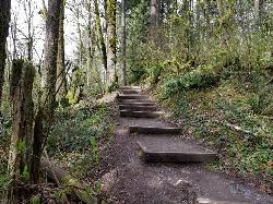
Tryon Park
Portland, Oregon
31.0 miles WA lush 658-acre second-growth forest oasis 15 minutes from downtown Portland — 8 miles of hiking trails, 8 bridges, a wetland boardwalk, and a nature center with programs and guided hikes.
Backpack, Hike, Horseback
Bagby Area
Princeton, Oregon
34.2 miles SA famous natural hot springs and a Clackamas River swimming hole southeast of Portland — two great spots along the same scenic highway, with clothing optional at the springs.
Swim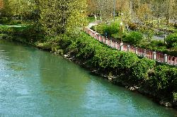
Willamette River Trail
Canby, Oregon
36.3 miles SWA flat, shaded paved and natural surface trail along the Willamette River in Eugene — a leisurely ride or walk through scenic riverside greenery, ideal for hot days with ample tree cover.
Hike, Mountain Bike
Ape Cave
Cougar, Washington
36.7 miles NThe longest lava tube in the continental US at over two miles, carved beneath Mount St. Helens — open year-round for exploring in the Mount St. Helens National Monument south of Cougar, Washington.
Cave, Hike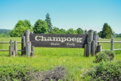
Champoeg State Park
Saint Paul, Oregon
46.1 miles SWA historic pioneer park on the Willamette River with camping, boating, fishing, hiking, trail running, biking, disc golf, summer amphitheater concerts, and yurts and cabins to stay the night.
Camp, Disc Golf, Hike, Mountain BikeNearby Campsites
Sunset Falls Campground
Yacolt, Washington
18.2 miles NWA majestic waterfall that drains into a large, deepening pool — just a 0.1-mile hike from the trailhead, with large smooth rocks perfect for sunbathing and picnicking beside the falls.
Camp, Hike, Swim
Trillium Lake Day Use Area
Government Camp, Oregon
27.3 miles SEA shallow 63 acre lake at 3,600 feet south of Government Camp, with the most photographed reflection of Mount Hood in Oregon and a day use area at the dam.
Camp, Canoe, Hike, Kayak, Swim
Champoeg State Park
Saint Paul, Oregon
46.1 miles SWA historic pioneer park on the Willamette River with camping, boating, fishing, hiking, trail running, biking, disc golf, summer amphitheater concerts, and yurts and cabins to stay the night.
Camp, Disc Golf, Hike, Mountain Bike


